|
Kansai Electric Power Company
, also known as , is an electric utility with its operational area of Kansai region, Japan (including the Keihanshin megalopolis). The Kansai region is Japan's second-largest industrial area, and in normal times, its most nuclear-reliant. Before the Fukushima nuclear disaster, a band of 11 nuclear reactors – north of the major cities Osaka and Kyoto – supplied almost 50 percent of the region's power. As of January 2012, only one of those reactors was still running. In March 2012, the last reactor was taken off the powergrid. Power plants Kansai Electric Power Company has 164 plants with a total production capacity of 35,760 MW. Nuclear Thermal Hydro Accidents and incidents Mihama accident in 2004 On 9 August 2004, KEPCO reported that five of its employees were killed by a steam burst in the turbines housing building, at the Mihama Nuclear Power Plant in Fukui Prefecture. The burst, according to KEPCO, was due to the neglect of mandated safety checks and t ... [...More Info...] [...Related Items...] OR: [Wikipedia] [Google] [Baidu] |
Public Company
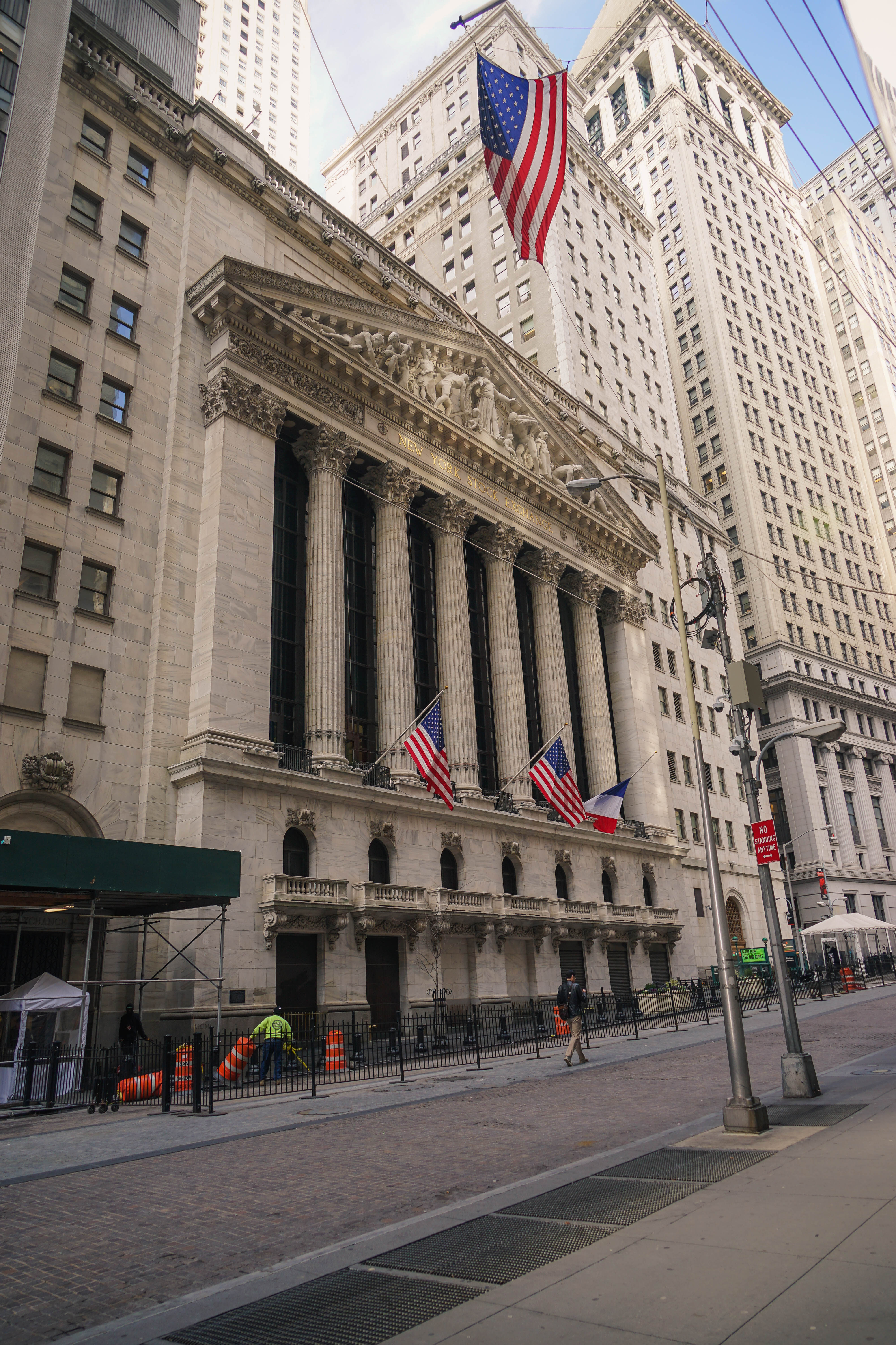
A public company is a company whose ownership is organized via shares of stock which are intended to be freely traded on a stock exchange or in over-the-counter markets. A public (publicly traded) company can be listed on a stock exchange (listed company), which facilitates the trade of shares, or not ( unlisted public company). In some jurisdictions, public companies over a certain size must be listed on an exchange. In most cases, public companies are ''private'' enterprises in the ''private'' sector, and "public" emphasizes their reporting and trading on the public markets. Public companies are formed within the legal systems of particular states, and therefore have associations and formal designations which are distinct and separate in the polity in which they reside. In the United States, for example, a public company is usually a type of corporation (though a corporation need not be a public company), in the United Kingdom it is usually a public limited company (plc ... [...More Info...] [...Related Items...] OR: [Wikipedia] [Google] [Baidu] |
Kobe
Kobe ( , ; officially , ) is the capital city of Hyōgo Prefecture Japan. With a population around 1.5 million, Kobe is Japan's seventh-largest city and the third-largest port city after Tokyo and Yokohama. It is located in Kansai region, which makes up the southern side of the main island of Honshū, on the north shore of Osaka Bay. It is part of the Keihanshin metropolitan area along with Osaka and Kyoto. The Kobe city centre is located about west of Osaka and southwest of Kyoto. The earliest written records regarding the region come from the '' Nihon Shoki'', which describes the founding of the Ikuta Shrine by Empress Jingū in AD 201.Ikuta Shrine official website – "History of Ikuta Shrine" (Japanese) [...More Info...] [...Related Items...] OR: [Wikipedia] [Google] [Baidu] |
Takasago, Hyōgo
260px, Takasago City Hall is a city located in Hyōgo Prefecture, Japan. , the city had an estimated population of 86,888 in 36828 households and a population density of 2500 persons per km². The total area of the city is . Geography Akashi located in southern Hyōgo prefecture facing Harima Bay on the Seto Inland Sea. Most of the city area is located in the alluvial plain formed on the west side of the mouth of the Kakogawa River, and the coastline is mostly reclaimed land. Tuffaceous rocky mountains are scattered throughout the city area, and the quarrying of these mountains since prehistoric times has resulted in a characteristic rocky landscape. Neighbouring municipalities Hyōgo Prefecture * Himeji * Kakogawa Climate Takasago has a Humid subtropical climate (Köppen ''Cfa'') characterized by warm summers and cool winters with light to no snowfall. The average annual temperature in Takasago is 15.4 °C. The average annual rainfall is 1527 mm with Septe ... [...More Info...] [...Related Items...] OR: [Wikipedia] [Google] [Baidu] |
Himeji, Hyōgo
260px, Himeji City Hall is a city located in Hyōgo Prefecture in the Kansai region of Japan. , the city had an estimated population of 525,682 in 227,099 households and a population density of 980 persons per km². The total area of the city is . Geography Himeji is located in the central western part of the Harima Plain in the western part of Hyogo Prefecture, and is the central city of the Harima region of the prefecture. The Ichikawa River is located in the central eastern part of the city, and the Senba River and Noda River are located in the center. The Ieshima Islands in the Seto Inland Sea are within the city limits and are located off the coast of Harima Bay. The city is surrounded by the mountains and the sea. Neighbouring municipalities Hyōgo Prefecture * Kakogawa * Takasago * Kasai * Tatsuno * Shisō * Taishi * Kamikawa * Ichikawa Climate Himeji has a humid subtropical climate (Köppen climate classification ''Cfa'') with hot summers and cool winters. ... [...More Info...] [...Related Items...] OR: [Wikipedia] [Google] [Baidu] |
Aioi, Hyōgo
is a city in Hyōgo Prefecture, Japan. , the city had an estimated population of 28,208 in 13143 households and a population density of 310 persons per km². The total area of the city is . Geography Aioi is located in southwestern Hyōgo Prefecture extending largely south to north. The city's northern region is mountainous, the southern region faces the Seto Inland Sea.The area around the urban center, with Mt. Minosan in the north, Mt. Tengadai in the east, and Mt. Miya in the west, is a basin surrounded by small mountains. Neighboring Municipalities Hyōgo Prefecture * Tatsuno * Akō Climate Aioi has a Humid subtropical climate (Köppen ''Cfa'') characterized by warm summers and cool winters with light to no snowfall. The average annual temperature in Aioi is 15.0 °C. The average annual rainfall is 1519 mm with September as the wettest month. The temperatures are highest on average in August, at around 26.0 °C, and lowest in January, at around 4.6&nb ... [...More Info...] [...Related Items...] OR: [Wikipedia] [Google] [Baidu] |
Akō, Hyōgo
is a city located in southwestern Hyōgo Prefecture, Japan. , the city had an estimated population of 45,747 in 20563 households and a population density of 360 persons per km². The total area of the city is . Geography Akō is located in far southwestern Hyōgo Prefecture. The city is on the border of the Hyōgo and Okayama prefectures, which also divides the Kinki and Chūgoku areas. On each side of the border, ancient Harima and Bizen provinces, which are now Akō and Bizen cities, respectively (except for the former village of Fukukawa, now part of Akō but formerly belonging to Bizen Province), have cultivated their own cultures. Therefore, even at the present days, dialects are vastly different on the sides of the border. A traveller from west to east on the JR San'yō Main Line will notice that the dialect of passengers suddenly changes between Kamigori station in Hyogo prefecture and Mitsuishi station in Okayama prefecture. In Akō, people speak a type of ... [...More Info...] [...Related Items...] OR: [Wikipedia] [Google] [Baidu] |
Takahama Nuclear Power Plant
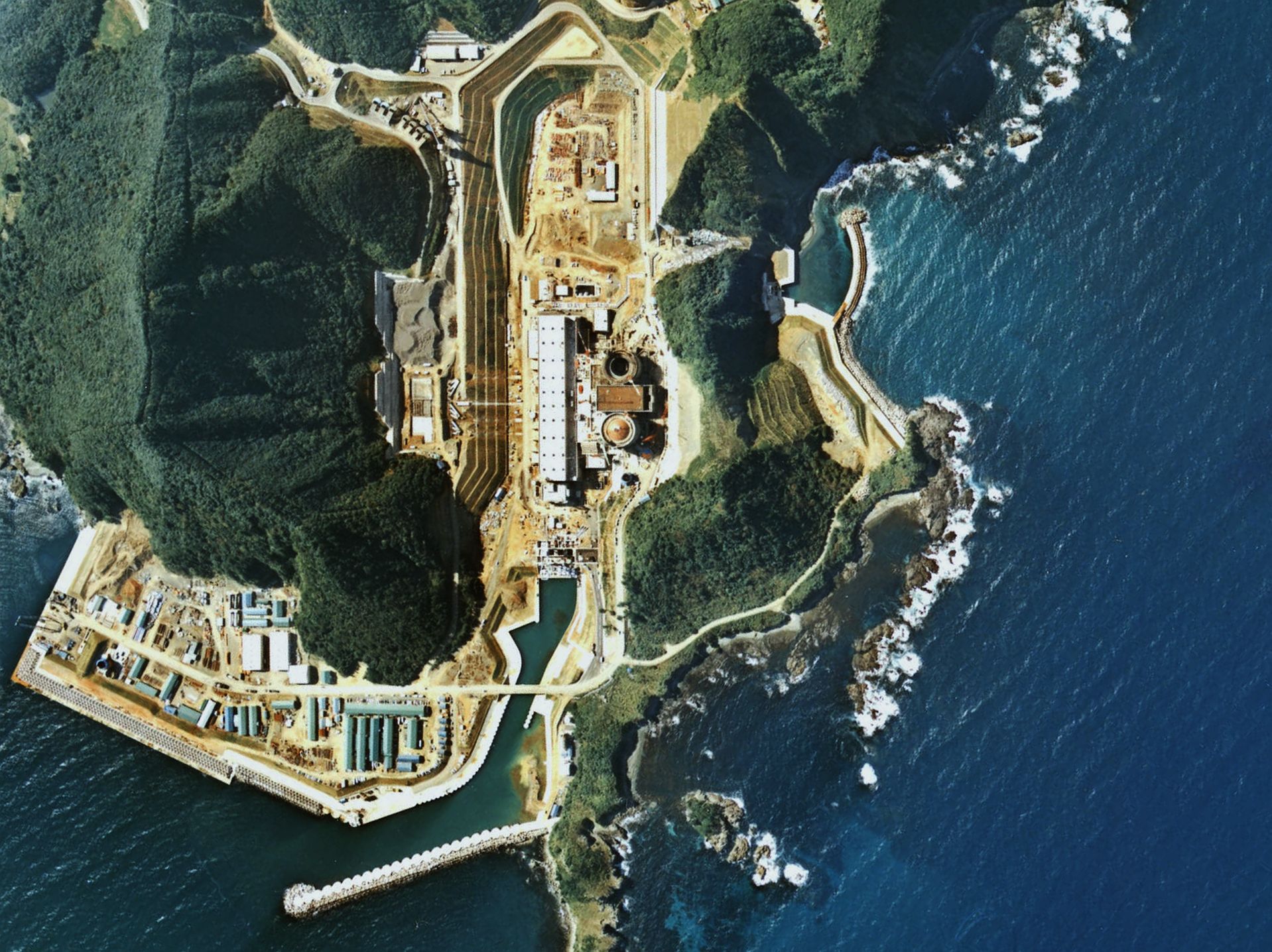
The is a nuclear power plant located in the town of Takahama, Ōi District, Fukui Prefecture. It is owned and operated by the Kansai Electric Power Company. It is on a site with an area of about 1 km2. The four pressurized water reactors give the plant a total gross electric capacity of 3,392 MW and average yearly production of 22,638 GW·h (averaged on 2006–2010 data). From 2012 to 2016 the plant was shut down most of the time, with only reactor 3 briefly in operation, due to technical problems and opposition from local residents. Unit 3 and 4 were eventually restarted in May and June 2017. Reactors on site History Maintenance in 2012 On 17 February 2012, Kansai Electric Power Co. announced that on 21 February 2012 reactor no. 3 would be taken off the grid for a regular checkup and maintenance. After that date, only two commercial nuclear power plants were still operating in Japan: the no. 6 reactor of TEPCO at the Kashiwazaki-Kariwa plant in prefecture Niigata, wh ... [...More Info...] [...Related Items...] OR: [Wikipedia] [Google] [Baidu] |
Ōi Nuclear Power Plant
The , also known as Oi or Ohi, is a nuclear power plant located in the town of Ōi, Fukui Prefecture, managed by the Kansai Electric Power Company. The site is . Ōi Units 3 and 4 were taken offline in September 2013. In December 2017 Kansai Electric Power announced that it will decommission reactors no. 1 and 2 because of their age and the difficulty of making safety upgrades within their small containment vessels. Unit 3 was restarted on 14 March 2018, and unit 4 was restarted on 9 May 2018. Reactors on site The closure of Ōi-1 and Ōi-2 was formally announced in December 2017. They had not been operated since 2011. History Stress tests On 16 December 2011 Kansai Electric Power Company halted the No.2 reactor for a 4-month safety check following the Fukushima nuclear accident. The results of the stress-tests of reactor no. 3 and no. 4 were approved after a meeting on 9 February 2012 of a panel of nuclear experts. The report said that the tests on the reactors were ... [...More Info...] [...Related Items...] OR: [Wikipedia] [Google] [Baidu] |
Fukui Prefecture
is a prefecture of Japan located in the Chūbu region of Honshū. Fukui Prefecture has a population of 778,943 (1 June 2017) and has a geographic area of 4,190 km2 (1,617 sq mi). Fukui Prefecture borders Ishikawa Prefecture to the north, Gifu Prefecture to the east, Shiga Prefecture to the south, and Kyoto Prefecture to the southwest. Fukui is the capital and largest city of Fukui Prefecture, with other major cities including Sakai, Echizen, and Sabae. Fukui Prefecture is located on the Sea of Japan coast and is part of the historic Hokuriku region of Japan. The Matsudaira clan, a powerful ''samurai'' clan during the Edo period that became a component of the Japanese nobility after the Meiji Restoration, was headquartered at Fukui Castle on the site of the modern prefectural offices. Fukui Prefecture is home to the Kitadani Formation, the Ichijōdani Asakura Family Historic Ruins, and the Tōjinbō cliff range. Prehistory The Kitadani Dinosaur Quarry, on the Sugi ... [...More Info...] [...Related Items...] OR: [Wikipedia] [Google] [Baidu] |
Mihama Nuclear Power Plant
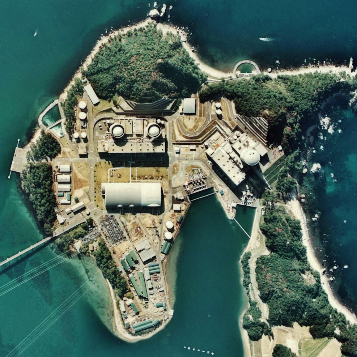
The is operated by The Kansai Electric Power Company, Inc. and is in the town of Mihama, Fukui Prefecture, about 320 km west of Tokyo. It is on a site that is 520,000 m2 of which 60% is green space. Mihama - 1 was commissioned in 1970. Reactors on site Accidents 1991 accident On 9 February 1991, a tube in the steam generator of Unit 2 ruptured. This triggered a SCRAM with full activation of the Emergency Core Cooling System. The ensuing investigation showed that a fixture designed to suppress vibration to the heat-transfer tube had not been inserted as far it was designed to be, resulting in abnormal vibrations of the tube. The high cycle fatigue, repeated over 100,000 times, led to the pipe rupturing. Eventually, a negligible amount of radiation was released to the environment. 2004 accident On 9 August 2004, an accident occurred in a building housing turbines for the Mihama 3 reactor. Hot water and steam leaking from a broken pipe killed five workers and resulted ... [...More Info...] [...Related Items...] OR: [Wikipedia] [Google] [Baidu] |
Fukushima Nuclear Disaster
The was a nuclear accident in 2011 at the Fukushima Daiichi Nuclear Power Plant in Ōkuma, Fukushima, Japan. The proximate cause of the disaster was the 2011 Tōhoku earthquake and tsunami, which occurred on the afternoon of 11 March 2011 and remains the most powerful earthquake ever recorded in Japan. The earthquake triggered a powerful tsunami, with 13–14-meter-high waves damaging the nuclear power plant's emergency diesel generators, leading to a loss of electric power. The result was the most severe nuclear accident since the Chernobyl disaster in 1986, classified as level seven on the International Nuclear Event Scale (INES) after initially being classified as level five, and thus joining Chernobyl as the only other accident to receive such classification. While the 1957 explosion at the Mayak facility was the second worst by radioactivity released, the INES ranks incidents by impact on population, so Chernobyl (335,000 people evacuated) and Fukushima (154,000 evacu ... [...More Info...] [...Related Items...] OR: [Wikipedia] [Google] [Baidu] |
Keihanshin
is a metropolitan region in the Kansai region of Japan encompassing the metropolitan areas of the cities of Kyoto in Kyoto Prefecture, Osaka in Osaka Prefecture and Kobe in Hyōgo Prefecture. The entire region has a population () of 19,302,746 over an area of .Japan Statistics Bureau - "2015 Census", retrieved June 27, 2021 It is the second-most-populated urban region in Japan (after the ), containing approximately 15% of Japan's population. The [...More Info...] [...Related Items...] OR: [Wikipedia] [Google] [Baidu] |
