|
K Ingleside
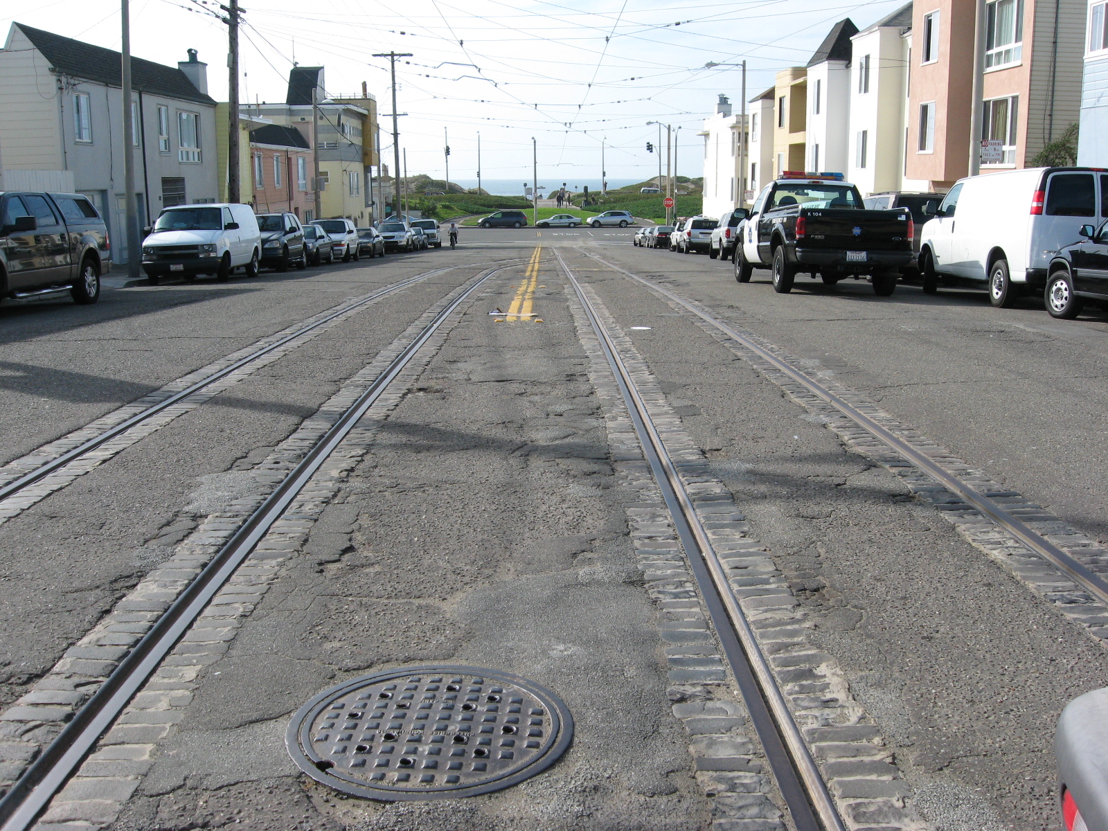
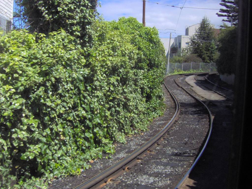
The K Ingleside is a light rail line of the Muni Metro system in San Francisco, California. It mainly serves the West Portal and Ingleside neighborhoods. The line opened on February 3, 1918, and was the first line to use the Twin Peaks Tunnel. Route description At West Portal station, inbound K Ingleside trains become T Third Street trains. The line follows West Portal Avenue to Saint Francis Circle, where it then runs on its own right-of-way in the median of Junipero Serra Boulevard to Ocean Avenue. The K then follows Ocean Avenue until it reaches Balboa Park station, where it circles around the Metro yard at San Jose and Geneva Avenue, with the actual terminal stop alongside the station. Operation The K Ingleside begins service at 5 a.m. on weekdays, 6 a.m. Saturdays and 8 a.m. Sundays, with the end of service occurring around 12:30 a.m. each night. Weekday daytime headways are 10 minutes. Weekend daytime headways are 12 minutes. Service is provided by overnight Owl ... [...More Info...] [...Related Items...] OR: [Wikipedia] [Google] [Baidu] |
List Of San Francisco Municipal Railway Lines
The San Francisco Municipal Railway (Muni) is the primary public transit system for San Francisco, California. Muni is part of the San Francisco Municipal Transportation Agency, which is also responsible for the streets, parking, traffic signals, and other transportation in the city. In 2019, Muni had the eighth-highest ridership among systems in the United States, with an average weekday ridership of 684,600. Service is operated to all parts of San Francisco - including Treasure Island - as well as small sections of Daly City and Marin County. Muni operates seven light rail lines in the Muni Metro system, two streetcar lines (E Embarcadero and F Market & Wharves), and three cable car lines. Daytime bus service includes 44 local routes, 5 limited-stop "Rapid" routes, and 15 peak-hour express routes. Four additional express routes provide weekend service to the Marin Headlands, service to Oracle Park (home of the San Francisco Giants), and the Chase Center (home of the Golden State ... [...More Info...] [...Related Items...] OR: [Wikipedia] [Google] [Baidu] |
L Taraval
The L Taraval is a light rail line of the Muni Metro system in San Francisco, California, mainly serving the Parkside District. The line is currently suspended and replaced by buses through the end of 2024 for a road improvement project along Taraval Street. Route description The line begins at Wawona and 46th Avenue station (near the San Francisco Zoo), which is on a one-way loop on Vicente Street, 47th Avenue, Wawona Street, and 46th Avenue. It runs north on 46th Avenue to Taraval Street, then runs east on Taraval Street to 15th Avenue. The line then runs south one block on 15th Avenue, then east on Ulloa Street to West Portal station, where it tags along with the other Muni Metro lines towards Embarcadero. Operation Prior to the COVID-19 pandemic, the L Taraval operated seven days a week, with train service beginning at 5 a.m. weekdays, 6 a.m. Saturdays, and 8 a.m. Sundays. Trains ran until 12:30 a.m, with daytime headways between 6 and 9 minutes. Service is provided b ... [...More Info...] [...Related Items...] OR: [Wikipedia] [Google] [Baidu] |
San Francisco Ferry Building
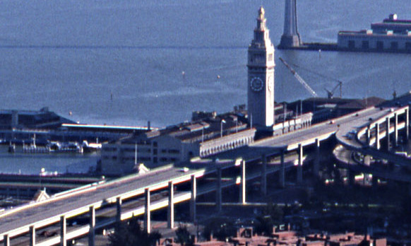
The San Francisco Ferry Building is a terminal for ferries that travel across the San Francisco Bay, a food hall and an office building. It is located on The Embarcadero in San Francisco, California and is served by Golden Gate Ferry and San Francisco Bay Ferry routes. On top of the building is a clock tower with four clock dials, each in diameter, which can be seen from Market Street, a main thoroughfare of the city. Designed in 1892 by American architect A. Page Brown in the Beaux-Arts style, the ferry building was completed in 1898. At its opening, it was the largest project undertaken in the city up to that time. One of Brown's design inspirations for the clock tower may have been the current 16th-century iteration of the 12th-century Giralda bell tower in Seville, Spain. The entire length of the building on both frontages is based on an arched arcade. With decreased use since the 1950s, after bridges were constructed to carry transbay traffic and most streetc ... [...More Info...] [...Related Items...] OR: [Wikipedia] [Google] [Baidu] |
J Church
The J Church is a hybrid light rail/streetcar line of the Muni Metro system in San Francisco, California. The line runs between Embarcadero station and Balboa Park station through Noe Valley. Opened on August 11, 1917, it is the oldest and has the lowest ridership of all of the Muni Metro lines. Route description The inbound terminal is at Embarcadero station. The line runs west through the Market Street subway to a portal on Duboce Avenue, before turning onto Church Street. The line continues south on Church Street to 18th Street. Between 18th and 20th Street, the line cuts through Dolores Park in a private right-of-way featuring a 9% grade, the steepest section of the Muni Metro system. After crossing 20th Street, it cuts across the blocks east of Church, around a steep hill and returns to Church Street at 22nd Street in Noe Valley. The J then follows Church to 30th Street, then to San Jose Avenue and Geneva. Between Randall and Cotter Streets, there is a right-of-way in ... [...More Info...] [...Related Items...] OR: [Wikipedia] [Google] [Baidu] |
Van Ness Avenue
Van Ness Avenue is a north–south thoroughfare in San Francisco, California. Originally named Marlette Street, the street was renamed Van Ness Avenue in honor of the city's sixth mayor, James Van Ness. The main part of Van Ness Avenue runs from Market Street near the Civic Center north to Bay Street at Fort Mason. South Van Ness Avenue is the portion of Van Ness south of Market Street, continuing through the city's South of Market and Mission districts to end at Cesar Chavez Street. This southern segment was formerly a continuation of Howard Street, having been renamed by resolution of the Board of Supervisors on August 22, 1932. The route is designated US 101 from the Central Freeway at the convergence of South Van Ness, Howard Street, and 13th Street, north to Lombard Street. Landmarks along the route include the San Francisco City Hall, the War Memorial Opera House, and Louise M. Davies Symphony Hall. History Before the 1906 earthquake and fire that destroyed most ... [...More Info...] [...Related Items...] OR: [Wikipedia] [Google] [Baidu] |
Market Street (San Francisco)
Market Street is a major thoroughfare in San Francisco, California. It begins at Embarcadero (San Francisco), The Embarcadero in front of the San Francisco Ferry Building, Ferry Building at the northeastern edge of the city and runs southwest through downtown, passing the Civic Center, San Francisco, Civic Center and the Castro District, San Francisco, Castro District, to the intersection with Portola Drive in the Twin Peaks (San Francisco), Twin Peaks neighborhood. Beyond this point, the roadway continues into the southwestern quadrant of San Francisco. Portola Drive extends south to the intersection of St. Francis Boulevard and Sloat Boulevard, where it continues as Junipero Serra Boulevard. Market Street is the boundary of two street grids. Streets on its southeast side are parallel or perpendicular to Market Street, while those on the northwest are nine degrees off from the cardinal directions. Market Street is a major transit artery for the city of San Francisco, and has car ... [...More Info...] [...Related Items...] OR: [Wikipedia] [Google] [Baidu] |
Muni 1031 As K Ingleside At Ocean And Lee, August 1967
Muni may refer to: Municipal * A common US abbreviation for municipal, municipal services, and the like *Municipal bond *Municipal Bridge, the former name of the George Rogers Clark Memorial Bridge in Louisville, Kentucky *"Muni", slang for a municipally owned and operated golf course *The Muny, an outdoor musical theatre in St. Louis, Missouri *Cleveland Public Power, known as Muny Light before 1983 *San Francisco Municipal Railway, the public transit agency for San Francisco, California * Springfield Municipal Opera in Springfield, Illinois *Muni Metro in San Francisco People ;Surname * Craig Muni (born 1962), former professional ice hockey player *Ganapati Muni (1878–1936), Indian philosopher *Marguerite Muni (1929–1999), French actress sometimes credited as simply Muni * Paul Muni (1895–1967), American actor *Scott Muni (1930–2004), American disc jockey ;Given name *Muni, baby boy name. Indian meaning: silent. *Munni Begum, Pakistani folk singer Fictional characters ... [...More Info...] [...Related Items...] OR: [Wikipedia] [Google] [Baidu] |
Junipero Serra Boulevard
Junipero Serra Boulevard is a major boulevard in and south of San Francisco named after Franciscan friar Junipero Serra. Within the city, it forms part of the route of State Route 1, the shortest connection between Interstate 280 and the Golden Gate Bridge. The remainder, in San Mateo County, was bypassed or replaced by I-280, the Junipero Serra Freeway. The boulevard was one of several new roads built along the San Francisco Peninsula before the age of freeways, and became a state highway known as Route 237 in 1956, receiving the State Route 117 designation in the 1964 renumbering, only to be deleted from the state highway system the next year. Two other regional highways— Bayshore Highway and Skyline Boulevard—were also upgraded into or bypassed by freeways. Route description Junipero Serra Boulevard begins at exit 44 (Avalon Drive) of I-280, and travels north along the east side of I-280 as a four-lane divided highway with minimal intersections, just east of the ridge ... [...More Info...] [...Related Items...] OR: [Wikipedia] [Google] [Baidu] |
1906 San Francisco Earthquake
At 05:12 Pacific Standard Time on Wednesday, April 18, 1906, the coast of Northern California was struck by a major earthquake with an estimated moment magnitude of 7.9 and a maximum Mercalli intensity of XI (''Extreme''). High-intensity shaking was felt from Eureka on the North Coast to the Salinas Valley, an agricultural region to the south of the San Francisco Bay Area. Devastating fires soon broke out in San Francisco and lasted for several days. More than 3,000 people died, and over 80% of the city was destroyed. The events are remembered as one of the worst and deadliest earthquakes in the history of the United States. The death toll remains the greatest loss of life from a natural disaster in California's history and high on the lists of American disasters. Tectonic setting The San Andreas Fault is a continental transform fault that forms part of the tectonic boundary between the Pacific Plate and the North American Plate. The strike-slip fault is character ... [...More Info...] [...Related Items...] OR: [Wikipedia] [Google] [Baidu] |
Junipero Serra And Ocean Station
Junipero Serra and Ocean is a light rail stop on the Muni Metro K Ingleside line, located in the St. Francis Wood neighborhood of San Francisco, California. It originally opened around 1896 on the United Railroads 12 line; K Ingleside service began in 1919. The stop is also served by the route bus, plus the , and bus routes, which provide service along the K Ingleside line during the early morning and late night hours respectively when trains do not operate. History The private Market Street Railway opened a branch – built in just six days – of its Mission Street line along Ocean Avenue to Victoria Street on December 4, 1895, to serve the new Ingleside Racetrack. The line was extended to the Ingleside House (where Ocean Avenue now meets Junipero Serra Boulevard) shortly thereafter. The 1906 earthquake damaged many cable car and streetcar lines; in the aftermath, the United Railroads (URR) – successor to the Market Street Railway – closed many cable cars lines a ... [...More Info...] [...Related Items...] OR: [Wikipedia] [Google] [Baidu] |
Ingleside Terraces, San Francisco
Ingleside Terraces is an affluent residential neighborhood of approximately 750 detached homes built at the former location of the Ingleside Racetrack in the southwestern part of San Francisco. It is adjacent to the Balboa Terrace, Ingleside, Merced Heights and Lakeside neighborhoods, and is bordered by Ocean Avenue to the north, Ashton Avenue to the east, Holloway Avenue to the south and Junipero Serra Boulevard to the west. The main local event that occurs is the Annual Sundial Park Picnic, in which the local residents host bicycle, chariot, and wagon racing. There is a large sundial located on Entrada Court, surrounded by the oval-shaped Urbano Drive, which was once a horse race track. Ingleside Terraces is one of nine master-planned residence parks in San Francisco. History The land use to be part of San Miguel Rancho; and it was one of the last parts of San Francisco to be incorporated. In 1910, Joseph A. Leonard's Urban Realty Improvement Company bought the track and ... [...More Info...] [...Related Items...] OR: [Wikipedia] [Google] [Baidu] |


