|
Kymenlaakson Osakunta
Kymenlaakson Osakunta (KyO) is one of the 15 student nations at the University of Helsinki, Finnish-speaking and established in 1933. Kymenlaakson Osakunta's home region is the province of Kymenlaakso in south-eastern Finland and constitutes from the cities of Hamina, Kotka and Kouvola and municipalities of Iitti, Miehikkälä, Pyhtää and Virolahti. The area of the town of Loviisa Loviisa (; sv, Lovisa ; formerly Degerby) is a municipality and town of inhabitants () on the southern coast of Finland. It is located from Helsinki and from Porvoo. About 43 per cent of the population is Swedish-speaking. The municipality co ... is a shared region with the Eteläsuomalainen Osakunta. KyO's friendship organisations on aboard are the Korporatsioon Fraternitas Tartuensis in Tartu (since 1936, renewed 1990), Kalmar Nation in Uppsala (since 1947), Hallands Nation in Lund (since 1986) and Korporatsioon Sororitas Estoniae in Tartu (since 2017). In Finland KyO's friendship student nati ... [...More Info...] [...Related Items...] OR: [Wikipedia] [Google] [Baidu] |
Nations At Finnish Universities
In Finland, student nations (in Finnish, sg. osakunta, pl. osakunnat; in Swedish (student)nation) are student organisations within which a large proportion of extra-curricular student activity takes place. Though membership is not compulsory, the nations provide one of the main nodes of student social life, along with the faculty-based organisations (''ainejärjestöt'') at the universities. The first Finnish student nations were originally established at The Royal Academy of Turku. When the Academy moved to Helsinki after the Great Fire of Turku taking the name Imperial Alexander University in Finland, the nations moved along with it. Their institutional form is based on the original nation system of the University of Uppsala. After Finland had gained its independence from Russia, the university was renamed as the University of Helsinki. Today there are 15 nations, each one representing a historic region or province of Finland. Four of these nations represent Swedish-speaking ... [...More Info...] [...Related Items...] OR: [Wikipedia] [Google] [Baidu] |
University Of Helsinki
The University of Helsinki ( fi, Helsingin yliopisto, sv, Helsingfors universitet, abbreviated UH) is a public research university located in Helsinki, Finland since 1829, but founded in the city of Turku (in Swedish ''Åbo'') in 1640 as the Royal Academy of Åbo, at that time part of the Swedish Empire. It is the oldest and largest university in Finland with the widest range of disciplines available. In 2020, around 31,600 students were enrolled in the degree programs of the university spread across 11 faculties and 11 research institutes. As of 1 August 2005, the university complies with the harmonized structure of the Europe-wide Bologna Process and offers bachelor, master, licenciate, and doctoral degrees. Admission to degree programmes is usually determined by entrance examinations, in the case of bachelor's degrees, and by prior degree results, in the case of master and postgraduate degrees. Entrance is particularly selective (circa 15% of the yearly applicants are admi ... [...More Info...] [...Related Items...] OR: [Wikipedia] [Google] [Baidu] |
Hamina
Hamina (; sv, Fredrikshamn, , Sweden ) is a List of cities in Finland, town and a Municipalities of Finland, municipality of Finland. It is located approximately east of the country's capital Helsinki, in the Kymenlaakso Regions of Finland, region, and formerly the Provinces of Finland, province of Southern Finland. The municipality's population is (as of ) and covers an area of , of which is water. The population density is . The population of the central town is approximately 10,000. The municipal language of Hamina is Finnish language, Finnish. Finnish national road 7, Highway 7 (European route E18, E18) is the town's road connection to Helsinki, after it was upgraded to a continuous motorway in September 2014. Hamina is also the base of one of the most important harbors of Finland, the Port of Hamina-Kotka. The port specializes in Forestry, forest products and the transit of cargo to Russia. One of Google's five European data centers is situated in Hamina. History Vehkal ... [...More Info...] [...Related Items...] OR: [Wikipedia] [Google] [Baidu] |
Kotka
Kotka (; ; la, Aquilopolis) is a city in the southern part of the Kymenlaakso province on the Gulf of Finland. Kotka is a major port and industrial city and also a diverse school and cultural city, which was formerly part of the old Kymi parish. The neighboring municipalities of Kotka are Hamina, Kouvola and Pyhtää. Kotka belongs to the Kotka-Hamina subdivision, and with Kouvola, Kotka is one of the capital center of the Kymenlaakso region. It is the 19th largest city in terms of population as a single city, but the 12th largest city of Finland in terms of population as an urban area. Kotka is located on the coast of the Gulf of Finland at the mouth of Kymi River and it is part of the Kymenlaakso region in southern Finland. The city center is located on an island surrounded by the sea called Kotkansaari ("Island of Kotka"). The most important highway in Kotka is Finnish national road 7 ( E18), which goes west through Porvoo to Helsinki, the capital of Finland, and extends ea ... [...More Info...] [...Related Items...] OR: [Wikipedia] [Google] [Baidu] |
Kouvola
Kouvola () is a cities of Finland, city and Municipalities of Finland, municipality in southeastern Finland. It is located along the Kymijoki, Kymijoki River in the Regions of Finland, region of Kymenlaakso, kilometers east of Lahti, west of Lappeenranta and northeast of the capital, Helsinki. With Kotka, Kouvola is one of the capital centers and is the largest city in the Kymenlaakso region. The whole municipal area has a population of (), but the actual downtown itself is home to 47,391 people. It covers an area of of which is water. The population density is . Kouvola is bordered by the municipalities of Hamina, Heinola, Iitti, Kotka, Lapinjärvi (municipality), Lapinjärvi, Loviisa, Luumäki, Miehikkälä, Mäntyharju, Pyhtää and Savitaipale. Kouvola has over 450 lakes and, together with Mäntyharju, the Kouvola area includes the Repovesi National Park. Kouvola, which had population growth as late as the 1980s, has suffered a loss of migration since the 1990s. Over time ... [...More Info...] [...Related Items...] OR: [Wikipedia] [Google] [Baidu] |
Iitti
Iitti (; sv, Itis) is a municipality of Finland. It is located in the province of Southern Finland and is part of the Päijänne Tavastia region. The municipality has a population of () and covers an area of of which is water. The population density is . The administrative center of Iitti is in the village of Kausala. Neighbour municipalities are Heinola, Kouvola, Lapinjärvi, Lahti and Orimattila. The municipality is unilingually Finnish. In 1990, the center of Iitti, which surrounds the old parish church, was voted the most attractive ''kirkonkylä'' ("church village") in Finland. The Kymi Ring motor sport center is located in Iitti, right next to the border of Kouvola. History The surroundings of lakes Urajärvi and Pyhäjärvi have been known to be exploited as wilderness since the Stone Age, although no signs of permanent habitation from the era have been found, and the area is presumed to have been entirely uninhabitated in the interim between the Stone Age and th ... [...More Info...] [...Related Items...] OR: [Wikipedia] [Google] [Baidu] |
Miehikkälä
Miehikkälä is a municipality of Finland. It is located in the province of Southern Finland and is part of the Kymenlaakso region. The municipality has a population of (), which make it the smallest municipality in Kymenlaakso in terms of population. It covers an area of of which is water. The population density is . Neighbouring municipalities are Hamina, Kouvola, Lappeenranta, Luumäki and Virolahti. It is from Miehikkälä to Kotka and to Lappeenranta. The municipality is unilingually Finnish. According to Traficom, Miehikkälä is the fourth most motorized municipality in Finland with 629 cars per thousand inhabitants. The coat of arms of the municipality representing the letter M (which refers to Miehikkälä's name) was designed by Tapio Vallioja in 1956. (in Finnish) Notable ...
|
Pyhtää
Pyhtää ( sv, Pyttis) is a municipality of Finland. It is located in the Kymenlaakso region, west of the city of Kotka. Overview The municipality has a population of () and covers an area of of which is water. The population density is . The medieval church (as opposed to the municipality) is situated in the village of Itäkirkonkylä ("East Church Village"). During the Reformation, the rather beautiful and moving pictures on the walls were whitewashed over. Some years ago, they were rediscovered and the whitewash removed. The village lies just to the East of the westernmost tributary of the Kymi River and was at one time on the border between Russia and Sweden established by the Treaty of Åbo in 1743. Indeed, on the Western side of the river is a municipality called Ruotsinpyhtää ("Swedish Pyhtää") known as in Swedish. The municipality is bilingual with speaking Finnish, Swedish and other languages as their first language. In the 1980s, salmon soup, salted herri ... [...More Info...] [...Related Items...] OR: [Wikipedia] [Google] [Baidu] |
Virolahti
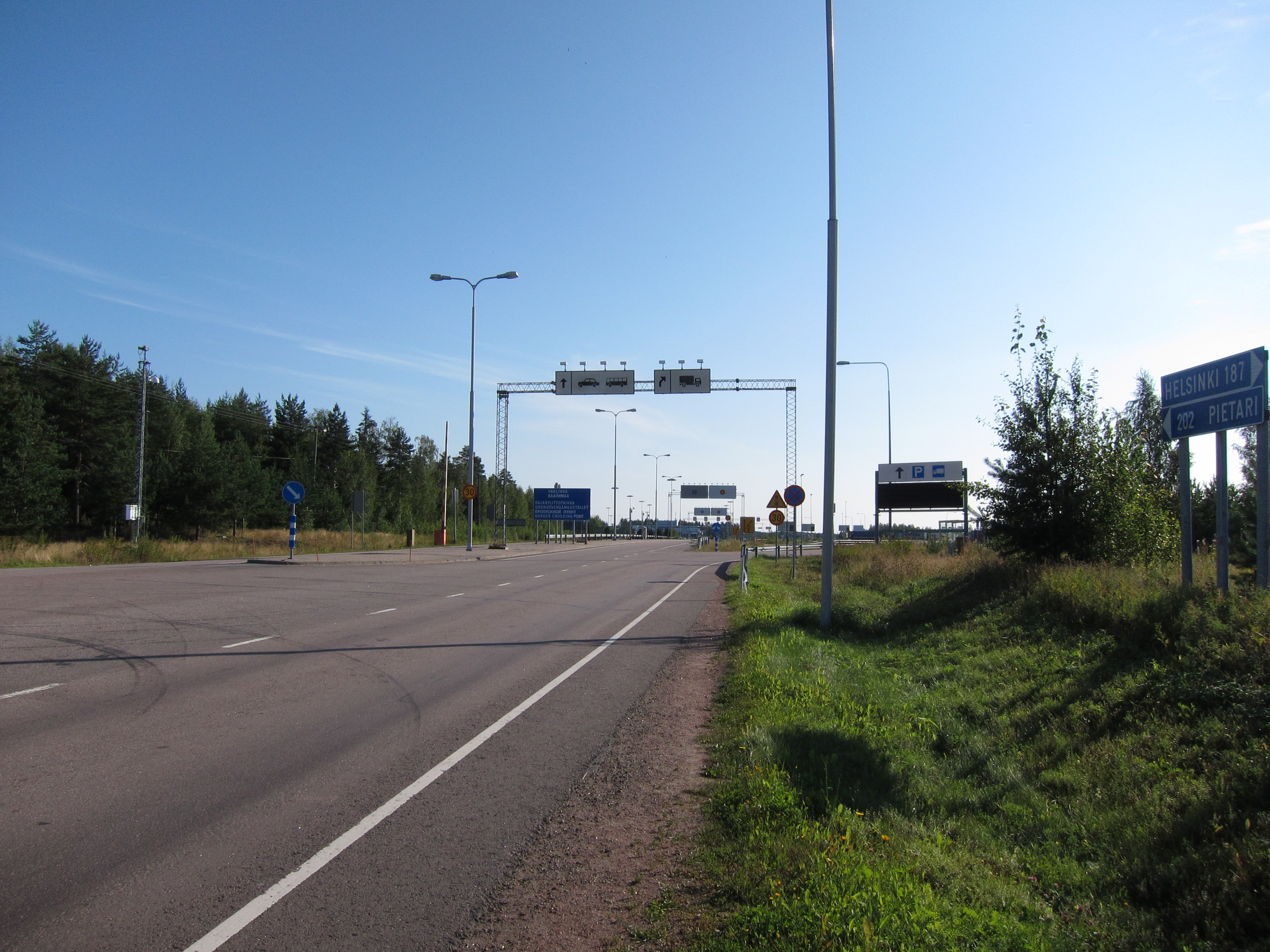
Virolahti (; sv, Vederlax) is the southeasternmost municipality of Finland on the border of Russia. It is located in the Kymenlaakso region. The municipality has a population of () and covers an area of , of which is water. The population density is . The municipality is unilingually Finnish. The Vaalimaa border crossing, which connects the municipality with Russia, is located in Virolahti. History Virolahti is named after Estonians from Virumaa who traded around the nearby bay, which is also called ''Virolahti''. The first mention of Virolahti dates to 1336. It is mentioned as an independent parish in 1370. A small part of Virolahti was ceded by Sweden to Russia in the Treaty of Uusikaupunki in 1721. The border was located slightly further west than the modern Finnish-Russian border. In the treaty of Turku of 1743, the rest of Virolahti was ceded to Russia. The northern part of Virolahti became the Miehikkälä parish in 1863. Before World War I the Russian Emperor Nicho ... [...More Info...] [...Related Items...] OR: [Wikipedia] [Google] [Baidu] |
Loviisa
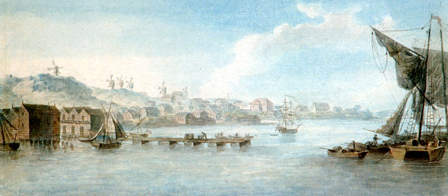
Loviisa (; sv, Lovisa ; formerly Degerby) is a municipality and town of inhabitants () on the southern coast of Finland. It is located from Helsinki and from Porvoo. About 43 per cent of the population is Swedish-speaking. The municipality covers an area of of which is water. The population density is . The neighboring municipalities of Liljendal, Pernå and Ruotsinpyhtää were consolidated with Loviisa on 1 January 2010. Loviisa was founded in 1745, as a border fortress against Russia. Most of the fortifications have been preserved. Loviisa was originally called ''Degerby'', but king Adolf Frederick of Sweden renamed the city after his spouse Lovisa Ulrika after visiting the town in 1752. Loviisa is the site of two of Finland's nuclear reactors, two VVER units each of 488 MWe, at the Loviisa Nuclear Power Plant. The other operating reactors are at the Olkiluoto Nuclear Power Plant. History 18th century The town of Degerby was founded on the grounds of the ... [...More Info...] [...Related Items...] OR: [Wikipedia] [Google] [Baidu] |
.jpg)


