|
Krka (Adriatic Sea)
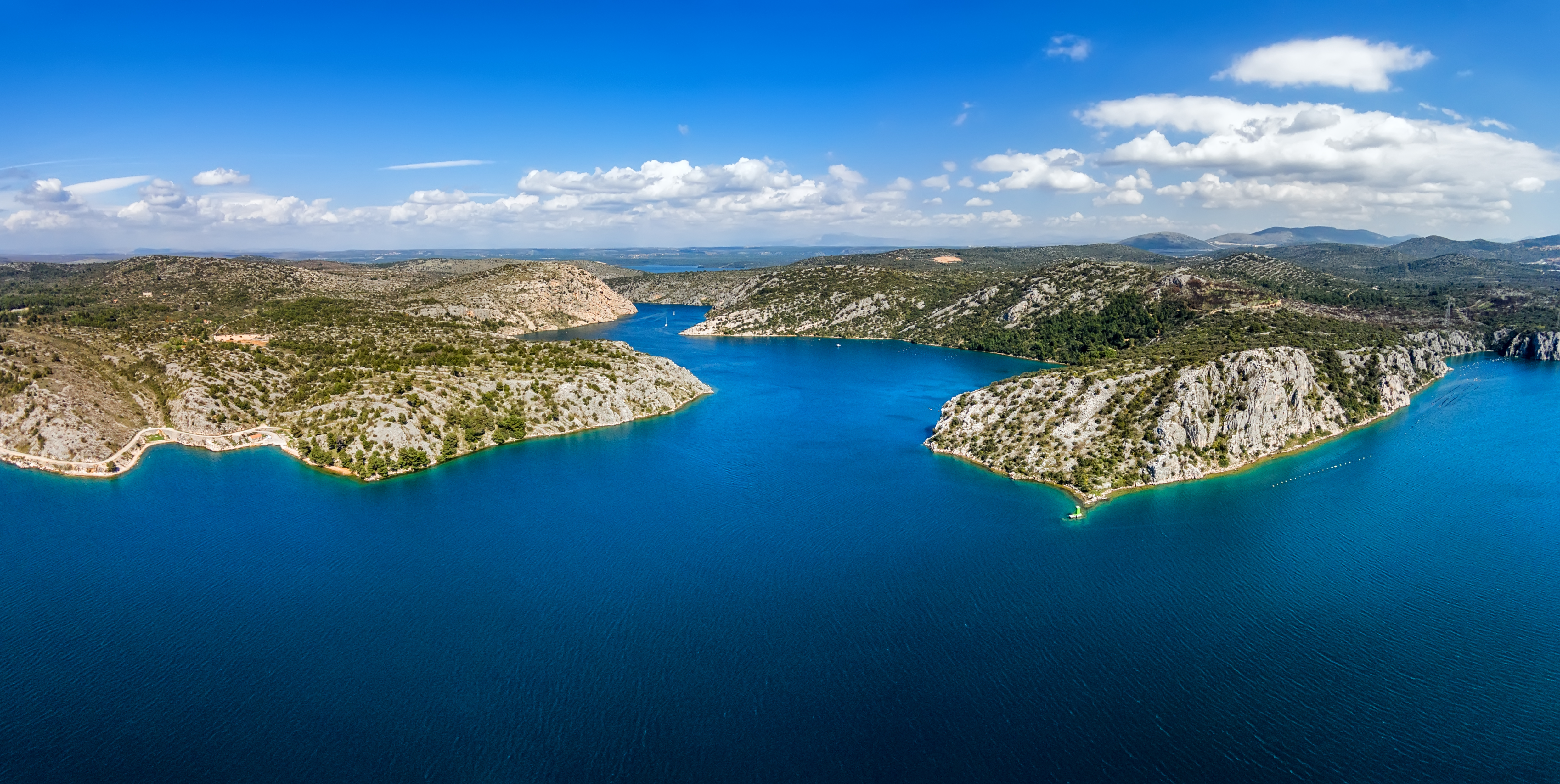
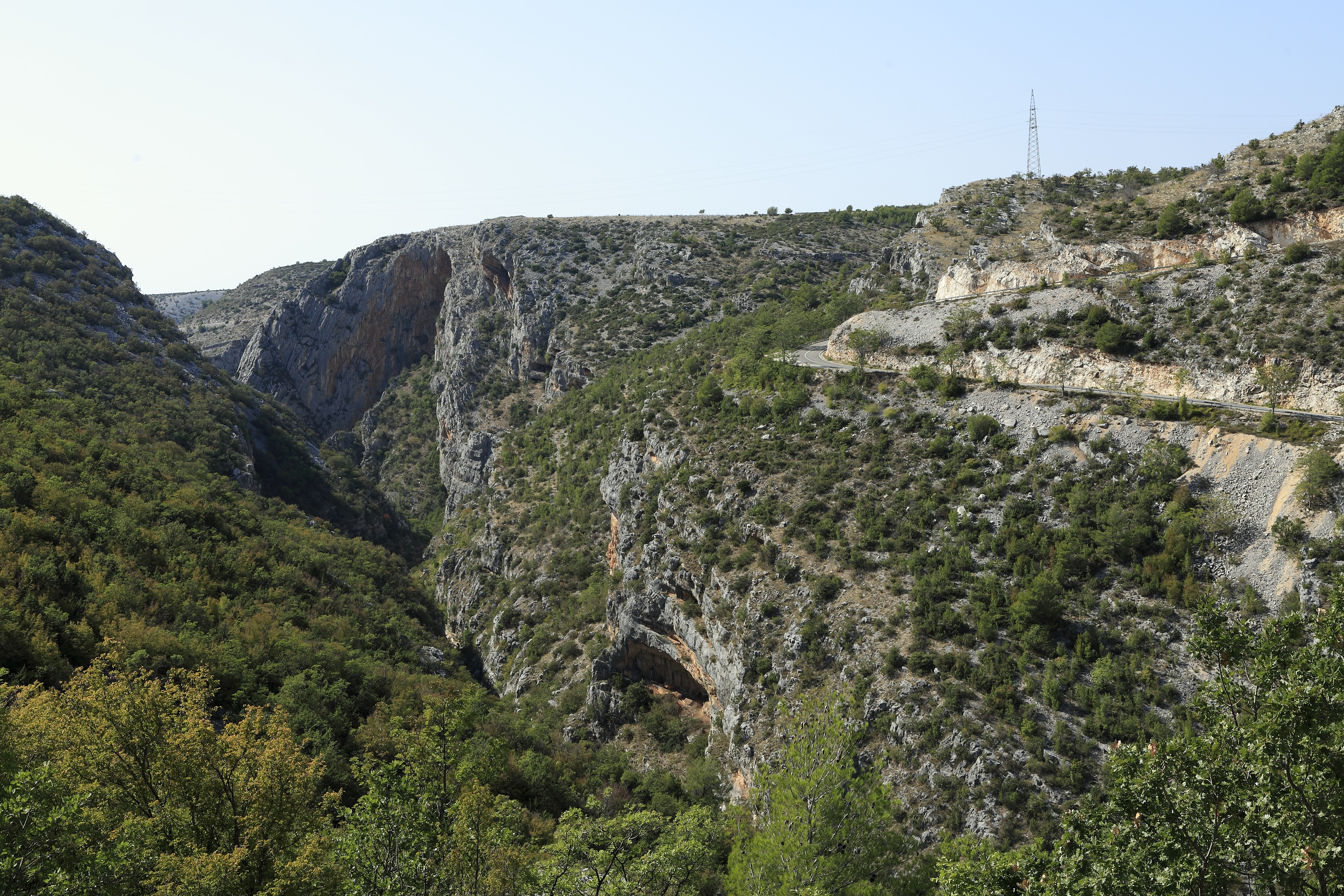
The Krka () is a river in Croatia's Dalmatia region, known for its numerous waterfalls. It is long and its basin covers an area of . It was known in ancient Greek as ''Kyrikos'', or may be also as ''Catarbates'' (literally "steeply falling") by the ancient Greeks, it was known to the ancient Romans as ''Titius'', ''Corcoras'', or ''Korkoras''. Course The river has its source near the border of Croatia with Bosnia and Herzegovina, at the foot of the Dinara mountain. After meandering through the Krčić canyon, it enters the karst valley of Knin through the Krčić waterfall of . At the foot of the second, called the Topoljski waterfall, of these is a spring in a cave with of passage. The river then flows through the valley, where it is fed by the Kosovčica on the left and the Orašnica and the Butižnica on the right, passing the Fortress of Knin between the last two on the way, and into the main canyon. What follows belongs to the Krka National Park. The first wate ... [...More Info...] [...Related Items...] OR: [Wikipedia] [Google] [Baidu] |
Adriatic Sea
The Adriatic Sea () is a body of water separating the Italian Peninsula from the Balkan Peninsula. The Adriatic is the northernmost arm of the Mediterranean Sea, extending from the Strait of Otranto (where it connects to the Ionian Sea) to the northwest and the Po Valley. The countries with coasts on the Adriatic are Albania, Bosnia and Herzegovina, Croatia, Italy, Montenegro, and Slovenia. The Adriatic contains more than 1,300 islands, mostly located along the Croatian part of its eastern coast. It is divided into three basins, the northern being the shallowest and the southern being the deepest, with a maximum depth of . The Otranto Sill, an underwater ridge, is located at the border between the Adriatic and Ionian Seas. The prevailing currents flow counterclockwise from the Strait of Otranto, along the eastern coast and back to the strait along the western (Italian) coast. Tidal movements in the Adriatic are slight, although larger amplitudes are known to occur occasi ... [...More Info...] [...Related Items...] OR: [Wikipedia] [Google] [Baidu] |
Roman Empire
The Roman Empire ( la, Imperium Romanum ; grc-gre, Βασιλεία τῶν Ῥωμαίων, Basileía tôn Rhōmaíōn) was the post-Republican period of ancient Rome. As a polity, it included large territorial holdings around the Mediterranean Sea in Europe, North Africa, and Western Asia, and was ruled by emperors. From the accession of Caesar Augustus as the first Roman emperor to the military anarchy of the 3rd century, it was a Principate with Italia as the metropole of its provinces and the city of Rome as its sole capital. The Empire was later ruled by multiple emperors who shared control over the Western Roman Empire and the Eastern Roman Empire. The city of Rome remained the nominal capital of both parts until AD 476 when the imperial insignia were sent to Constantinople following the capture of the Western capital of Ravenna by the Germanic barbarians. The adoption of Christianity as the state church of the Roman Empire in AD 380 and the fall of the Western ... [...More Info...] [...Related Items...] OR: [Wikipedia] [Google] [Baidu] |
Yugoslav Wars
The Yugoslav Wars were a series of separate but related#Naimark, Naimark (2003), p. xvii. ethnic conflicts, wars of independence, and Insurgency, insurgencies that took place in the Socialist Federal Republic of Yugoslavia, SFR Yugoslavia from 1991 to 2001. The conflicts both led up to and resulted from the breakup of Yugoslavia, which began in mid-1991, into six independent countries matching the six entities known as republics which previously composed Yugoslavia: Slovenia, Croatia, Bosnia and Herzegovina, Montenegro, Serbia, and North Macedonia (previously named ''Macedonia''). Yugoslavia's constituent republics declared independence due to unresolved tensions between ethnic minorities in the new countries, which fuelled the wars. While most of the conflicts ended through peace accords that involved full international recognition of new states, they resulted in a massive number of deaths as well as severe economic damage to the region. During the initial stages of the breaku ... [...More Info...] [...Related Items...] OR: [Wikipedia] [Google] [Baidu] |
Land Mine
A land mine is an explosive device concealed under or on the ground and designed to destroy or disable enemy targets, ranging from combatants to vehicles and tanks, as they pass over or near it. Such a device is typically detonated automatically by way of pressure when a target steps on it or drives over it, although other detonation mechanisms are also sometimes used. A land mine may cause damage by direct blast effect, by fragments that are thrown by the blast, or by both. Landmines are typically laid throughout an area, creating a ''minefield'' which is dangerous to cross. The use of land mines is controversial because of their potential as indiscriminate weapons. They can remain dangerous many years after a conflict has ended, harming civilians and the economy. Seventy-eight countries are contaminated with land mines and 15,000–20,000 people are killed every year while many more are injured. Approximately 80% of land mine casualties are civilians, with children as the ... [...More Info...] [...Related Items...] OR: [Wikipedia] [Google] [Baidu] |
Jaruga Hydroelectric Power Plant
Jaruga Hydroelectric Power Plant is a hydroelectric power plant on river Krka, located in Šibenik-Knin County, in central Dalmatia, Croatia. The first European hydroelectric power plant was built in Croatia (many people worked together to make this possible). It was put into operation two days after, according to Nikola Tesla's patents, the world's first hydroelectric power plant at Niagara Falls was put into operation. A turbine, two generators (42 Hz, 550 kW) and a transformer made by the Hungarian company Ganz were built under the Skradinski Buk waterfall. The Jaruga is one of the oldest power-generating facilities in the world. Its present location dates back to 1903, when it was moved from the nearby original Jaruga power station built in 1895. History The oldest Jaruga power plant was the first alternating current (AC) power system in Croatia. It was designed to power the street lights in Šibenik, making it the first city in the world with street lights power ... [...More Info...] [...Related Items...] OR: [Wikipedia] [Google] [Baidu] |
Šibenik
Šibenik () is a historic city in Croatia, located in central Dalmatia, where the river Krka flows into the Adriatic Sea. Šibenik is a political, educational, transport, industrial and tourist center of Šibenik-Knin County, and is also the third-largest city in the Dalmatian region. As of 2011, the city has 34,302 inhabitants, while the municipality has 46,332 inhabitants. History Etymology There are multiple interpretations of how Šibenik was named. In his fifteenth century book ''De situ Illiriae et civitate Sibenici,'' Juraj Šižgorić describes the name and location of Šibenik. He attributes the name of the city to it being surrounded by a palisade made of ''šibe'' (sticks, singular being ''šiba''). Another interpretation is associated with the forest through the Latin toponym "Sibinicum", which covered a narrower microregion within Šibenik on and around the area of St. Michael's Fortress. Early history Unlike other cities along the Adriatic coast, which we ... [...More Info...] [...Related Items...] OR: [Wikipedia] [Google] [Baidu] |
Prokljansko Jezero
Lake Prokljan ( hr, Prokljansko jezero) is a lake in the Croatian region of Dalmatia, located near the cities of Skradin and Šibenik. Geography The lake is situated in the lower reaches of the river Krka, and it covers an area of . It is not entirely closed, but is connected to the sea by a narrow channel which leads to Šibenik harbor. Its elevation above sea level is while its maximum depth is . Despite its connection to the sea, it does not have high salinity: in the lower layers its water is salty, and near the surface it is freshwater. The northern part of the lake is quite shallow, with an average depth of about 4 meters, while the southern part is deeper, with some 20 to 25 meters. The lake's major tributary is the Krka River, which has its source near the border with Bosnia and Herzegovina, flows through Knin and enters Prokljansko jezero near the city of Skradin. Miscellaneous In the northern part of the lake, there is a small islet called Stipanac, a site wi ... [...More Info...] [...Related Items...] OR: [Wikipedia] [Google] [Baidu] |
Skradin
Skradin ( it, Scardona; grc, Σκάρδων) is a small town in the Šibenik-Knin County of Croatia, with a population of 3,825 (2011 census). It is located near the Krka river and at the entrance to the Krka National Park, from Šibenik and from Split. The main attraction of the park, Slapovi Krke, is a series of waterfalls, the biggest of which, Skradinski buk, was named after Skradin. History It was a Liburnian city, named Scardon ( grc, Σκάρδων). Later it became a Roman town (Scardona in Latin), as the administrative and military centre of the region. It was destroyed during the Migration Period, and had by the 9th century been settled by Slavs. During the 10th century, it was one of the fortified towns in Croatia, as the centre of the Skradin županija. Skradin under Šubić rule In the late 13th and early 14th centuries, Skradin flourished as the capital of the Šubić bans, Paul I and Mladen II. The Šubić's built the Turina fortress on the hill overlooki ... [...More Info...] [...Related Items...] OR: [Wikipedia] [Google] [Baidu] |
Čikola
Čikola ( it, link=no, Cigola) is a river of 47.8 km in length, located in Dalmatia, southern Croatia. Description Čikola river's springs is near the village Čavoglave, flows through the city of Drniš and then flows near village of Miljevci into the river of Krka which flows into the Adriatic Sea. The canyon contrasts with the nearby mountains of Moseća, Promina, and Svilaja, which are rather calm.. The canyon is 14 km long and 170 m deep in places. It ends 3 km from the lake part of the river, i.e. 6 km before the mouth. Due to the diversity of flora and fauna, and more underwater caves that can be easily entered in summer when the river is partly dry, and even the rich historical heritage, Čikola canyon gained the status of a protected area in 1965. In addition to its natural beauty, the Čikola canyon is known for its zipline, which stretches from 30 to 120 m above sea level and has a total length of 1.4 km, which makes it one of the longest ziplines in Croatia. ... [...More Info...] [...Related Items...] OR: [Wikipedia] [Google] [Baidu] |
Visovac Monastery
The Visovac Monastery ( hr, Samostan Visovac), part of the Franciscan Province of the Most Holy Redeemer based in Split (city), Split, is a Roman Catholic Church, Catholic (Roman Rite) monastery on the island of Visovac in the Krka National Park, Croatia. Because of the centuries-long devotion to the Mother of God, Visovac is also called Mother of God Island. History Visovac was established in the 14th century by Augustinians, Augustinian monks, who erected a small monastery and church on the island dedicated to the Paul of Tarsus, Apostle Paul. In 1445, it was enlarged and adapted by Franciscans, who settled on the island having withdrawn from parts of Bosnia when invading Ottoman Empire, Turks had taken over. A new monastery was constructed in the 18th century. The oldest preserved part of the current complex dates from the 14th century. The monastery houses a historically significant collection of Christian books and a rich library containing many historical manuscripts and r ... [...More Info...] [...Related Items...] OR: [Wikipedia] [Google] [Baidu] |
Franciscan Order
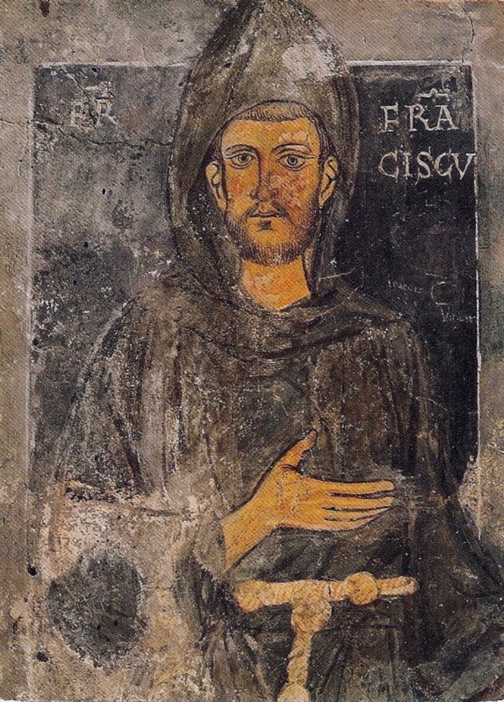
, image = FrancescoCoA PioM.svg , image_size = 200px , caption = A cross, Christ's arm and Saint Francis's arm, a universal symbol of the Franciscans , abbreviation = OFM , predecessor = , merged = , formation = , founder = Francis of Assisi , founding_location = , extinction = , merger = , type = Mendicant Order of Pontifical Right for men , status = , purpose = , headquarters = Via S. Maria Mediatrice 25, 00165 Rome, Italy , location = , coords = , region = , services = , membership = 12,476 members (8,512 priests) as of 2020 , language = , sec_gen = , leader_title = Motto , leader_name = ''Pax et bonum'' ''Peace and llgood'' , leader_title2 = Minister General , leader_name2 = ... [...More Info...] [...Related Items...] OR: [Wikipedia] [Google] [Baidu] |
Krka Monastery
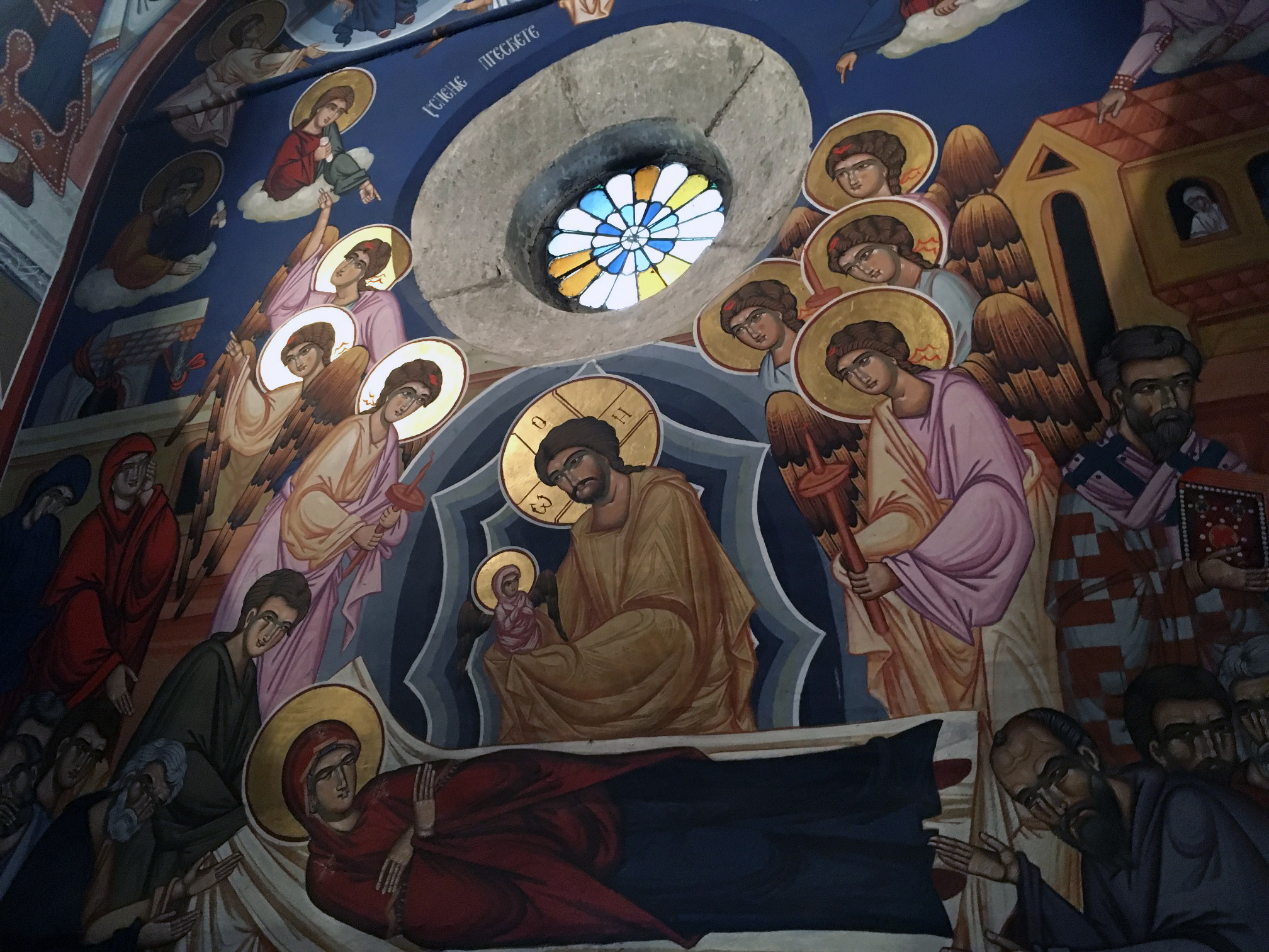
The Krka Monastery ( sr-Cyrl, Манастир Крка, sr, Manastir Krka, italics=yes; hr, Samostan Krka) is a Serbian Orthodox monastery dedicated to the Archangel Michael, located near the river Krka, east of Kistanje, in central Dalmatia, Croatia. It is the best known monastery of the Serbian Orthodox Church in Croatia and it is officially protected as part of the Krka National Park. It dates back to 1577. History Supposedly, the oldest extant mention of the monastery was in 1350, when it is listed as an endowment of Serbian princess Jelena Nemanjić Šubić, half-sister of the Serbian emperor Dušan and wife of Mladen III Šubić Bribirski, Croatian duke of Skradin and Bribir. The claim has been met by skepticism and the source described as a forgery, due to the lack of verified proof of the claims. The monastery was built on top of a Roman site, and Roman burial catacombs exist beneath a part of the church. The Romanesque belfry suggest that the Orthodox monastery ... [...More Info...] [...Related Items...] OR: [Wikipedia] [Google] [Baidu] |


