|
Krassó-Szörény County
Krassó-Szörény (Hungarian language, Hungarian: ''Krassó-Szörény'', Romanian language, Romanian: ''Caraș-Severin'', Serbian language, Serbian: ''Karaš-Severin'' or Караш-Северин) was an administrative county (Comitatus (Kingdom of Hungary), comitatus) of the historic Kingdom of Hungary.Zoltán Gál, The banking functions of the Hungarian urban network in the early 20th century, Centre for Regional Studies, 2006, table /ref> Its territory is now mostly located in south-western Romania, with one very small part which is located in Serbia. The capital of the county was Lugos (present-day Lugoj). Geography Krassó-Szörény County was located in the Banat region. It shared borders with the Kingdom of Serbia and the Hungarian counties of Temes County, Temes, Arad (Hungarian county), Arad and Hunyad. The river Danube formed its southern border, and the river Mureș (river), Mureș its northern border. The rivers Bega (Tisza), Bega, Timiș (river), Timiș, Bârzava ... [...More Info...] [...Related Items...] OR: [Wikipedia] [Google] [Baidu] |
Comitatus (Kingdom Of Hungary)
Comitatus may refer to: *Comitatus (warband), a Germanic warband who follow a leader * ''Comitatus'', the office of a Roman or Frankish comes, translated as count. * ''Comitatus'', translated as county, a territory such as governed by medieval counts. * Comitatus (Kingdom of Hungary), counties in the Kingdom of Hungary * Comitatenses, armies of the late Roman Empire * Posse comitatus (other), various meanings See also * * Retinue, a body of persons "retained" in the service of a noble or royal person {{disambiguation ... [...More Info...] [...Related Items...] OR: [Wikipedia] [Google] [Baidu] |
Timiș (river)
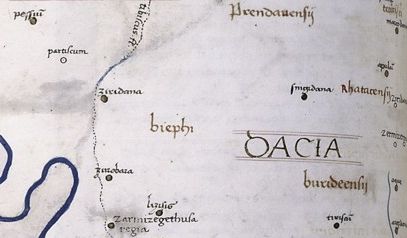
The Timiș or Tamiš (, , , ) is a river that flows through the Banat region of Romania and Serbia and joins the Danube near Pančevo, in northern Serbia. Due to its position in the region, it has been labeled as the "spine of the Banat". Name In Classical antiquity, antiquity, the river was known as ''Tibiscus'' (in Latin) and ''Tibisis'' (Θίβισις in ancient Greek), and as ''Timisis'' in De Administrando Imperio; in addition, Edward Gibbon referred to it as the ''Teyss''. ''The Romans, who traversed the plains of Hungary, suppose that they passed several navigable rivers, either in canoes or portable boats; but there is reason to suspect that the winding stream of the Teyss, or Tibiscus, might present itself in different places under different names.'' Geography The Drainage basin, drainage area covers , of which in Romania. With the Danube, the Timis belongs to the Black Sea drainage basin. The river flows through Romania for , and through Serbia. Its average di ... [...More Info...] [...Related Items...] OR: [Wikipedia] [Google] [Baidu] |
Arad County
Arad County () is an administrative division ( județ) of Romania roughly translated into county in the western part of the country on the border with Hungary, mostly in the region of Crișana and few villages in Banat. The administrative center of the county lies in the city of Arad. The Arad County is part of the Danube–Criș–Mureș–Tisa Euroregion. Name In Hungarian, it is known as , in Serbian as , and in German as . The county was named after its administrative center, Arad. Geography The county has a total area of , representing 3.6% of national Romanian territory. The terrain of Arad County is divided into two distinct units that cover almost half of the county each. The eastern side of the county has a hilly to low mountainous terrain (Dealurile Lipovei, Munții Zărandului, Munții Codru Moma) and on the western side it's a plain zone consisting of the ''Arad Plain'', ''Low Mures Plain'', and ''The High Vinga Plain''. Taking altitude into account we notice ... [...More Info...] [...Related Items...] OR: [Wikipedia] [Google] [Baidu] |
Timiș County
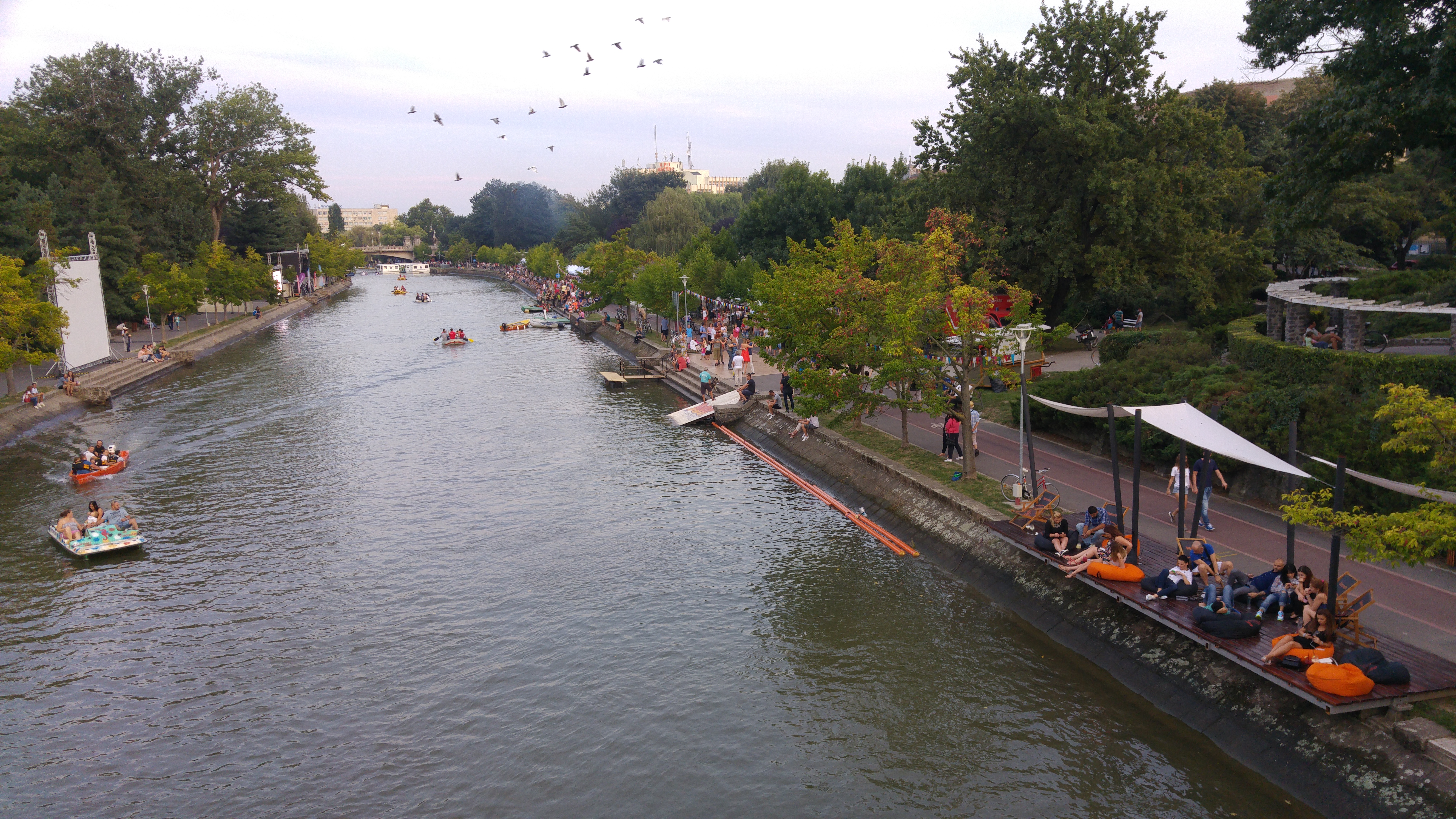
Timiș () is a county (''județ'') of western Romania on the border with Hungary and Serbia, in the historical regions of Romania, historical region of Banat, with the county seat at Timișoara. It is the westernmost and the largest county in Romania in terms of land area. The county is also part of the Danube–Criș–Mureș–Tisa Euroregion. Name The name of the county comes from the Timiș (river), Timiș River, known in Roman antiquity as ''Tibisis'' or ''Tibiscus''. According to Lajos Kiss' etymological dictionary, the name of the river probably comes from the Dacian language: ''thibh-isjo'' ("marshy"). In Hungarian language, Hungarian, Timiș County is known as ''Temes megye'', in German language, German as ''Kreis Temesch'', in Serbian language, Serbian as Тамишки округ/''Tamiški okrug'', in Ukrainian language, Ukrainian as Тімішський повіт, and in Banat Bulgarian dialect, Banat Bulgarian as ''okrug Timiš''. Geography Timiș is the lar ... [...More Info...] [...Related Items...] OR: [Wikipedia] [Google] [Baidu] |
Kingdom Of Serbs, Croats And Slovenes
The Kingdom of Yugoslavia was a country in Southeast and Central Europe that existed from 1918 until 1941. From 1918 to 1929, it was officially called the Kingdom of Serbs, Croats, and Slovenes, but the term "Yugoslavia" () has been its colloquial name as early as 1922 due to its origins. "Kraljevina Jugoslavija! Novi naziv naše države. No, mi smo itak med seboj vedno dejali Jugoslavija, četudi je bilo na vseh uradnih listih Kraljevina Srbov, Hrvatov in Slovencev. In tudi drugi narodi, kakor Nemci in Francozi, so pisali že prej v svojih listih mnogo o Jugoslaviji. 3. oktobra, ko je kralj Aleksander podpisal "Zakon o nazivu in razdelitvi kraljevine na upravna območja", pa je bil naslov kraljevine Srbov, Hrvatov in Slovencev za vedno izbrisan." (Naš rod ("Our Generation", a monthly Slovene language periodical), Ljubljana 1929/30, št. 1, str. 22, letnik I.) The official name of the state was changed to "Kingdom of Yugoslavia" by King Alexander I on 3 October 1929. The pre ... [...More Info...] [...Related Items...] OR: [Wikipedia] [Google] [Baidu] |
Dobričevo
Dobričevo (Serbian Cyrillic: Добричево, ) is a village in Serbia. It is situated in the Bela Crkva municipality, in the South Banat District, Vojvodina province. The village has a Hungarian ethnic majority (88.49%) and a population of 226 (2002 census). History The village was founded in 1825 under name ''Ud-varsallas'' and was settled by 265 Catholic colonistsThe village church was founded in 1861, and railway station in 1891. Before 1918, the village was part of the Krassó-Szörény county of former Austria-Hungary. After 1918, it was part of the Banat county of the Kingdom of Serbs, Croats and Slovenes, after 1922 part of Podunavlje oblast and after 1929 part of Danube Banovina. From 1941 to 1944 it was occupied by German troops and was included into German-administered autonomous region of Banat within the area governed by the Military Administration in Serbia, and since 1945, it is part of the autonomous province of Vojvodina within Serbia and Yugoslavia. Hist ... [...More Info...] [...Related Items...] OR: [Wikipedia] [Google] [Baidu] |
Banatska Subotica
Banatska Subotica () is a village in Serbia. It is located in the Bela Crkva (Vojvodina), Bela Crkva municipality, in the South Banat District, Vojvodina province. The village has a Serb ethnic majority (85%) and a population of 200 (2002 census). Historical population *1961: 505 *1971: 479 *1981: 372 *1991: 280 References *Slobodan Ćurčić, Broj stanovnika Vojvodine, Novi Sad, 1996. See also *List of places in Serbia *List of cities, towns and villages in Vojvodina Populated places in Serbian Banat Populated places in South Banat District Bela Crkva {{SouthBanatRS-geo-stub ... [...More Info...] [...Related Items...] OR: [Wikipedia] [Google] [Baidu] |
Treaty Of Trianon
The Treaty of Trianon (; ; ; ), often referred to in Hungary as the Peace Dictate of Trianon or Dictate of Trianon, was prepared at the Paris Peace Conference (1919–1920), Paris Peace Conference. It was signed on the one side by Hungary and, on the other, by the Allied and Associated Powers, in the Grand Trianon château in Versailles on 4 June 1920. It formally terminated the state of war issued from World War I between most of the Allies of World War I and the Kingdom of Hungary. The treaty is famous primarily due to the territorial changes imposed on Hungary and recognition of its new international borders after the First World War. As part of the Austria-Hungary, Austro-Hungarian Empire, Hungary had been involved in the First World War since August 1914. After its allies – Bulgaria and later Turkey – Armistice of Salonica, signed armistices with the Entente, the political elite in Budapest also opted to end the war. On 31 October 1918, Mihály Károlyi#Károlyi's ... [...More Info...] [...Related Items...] OR: [Wikipedia] [Google] [Baidu] |
Banat Military Frontier
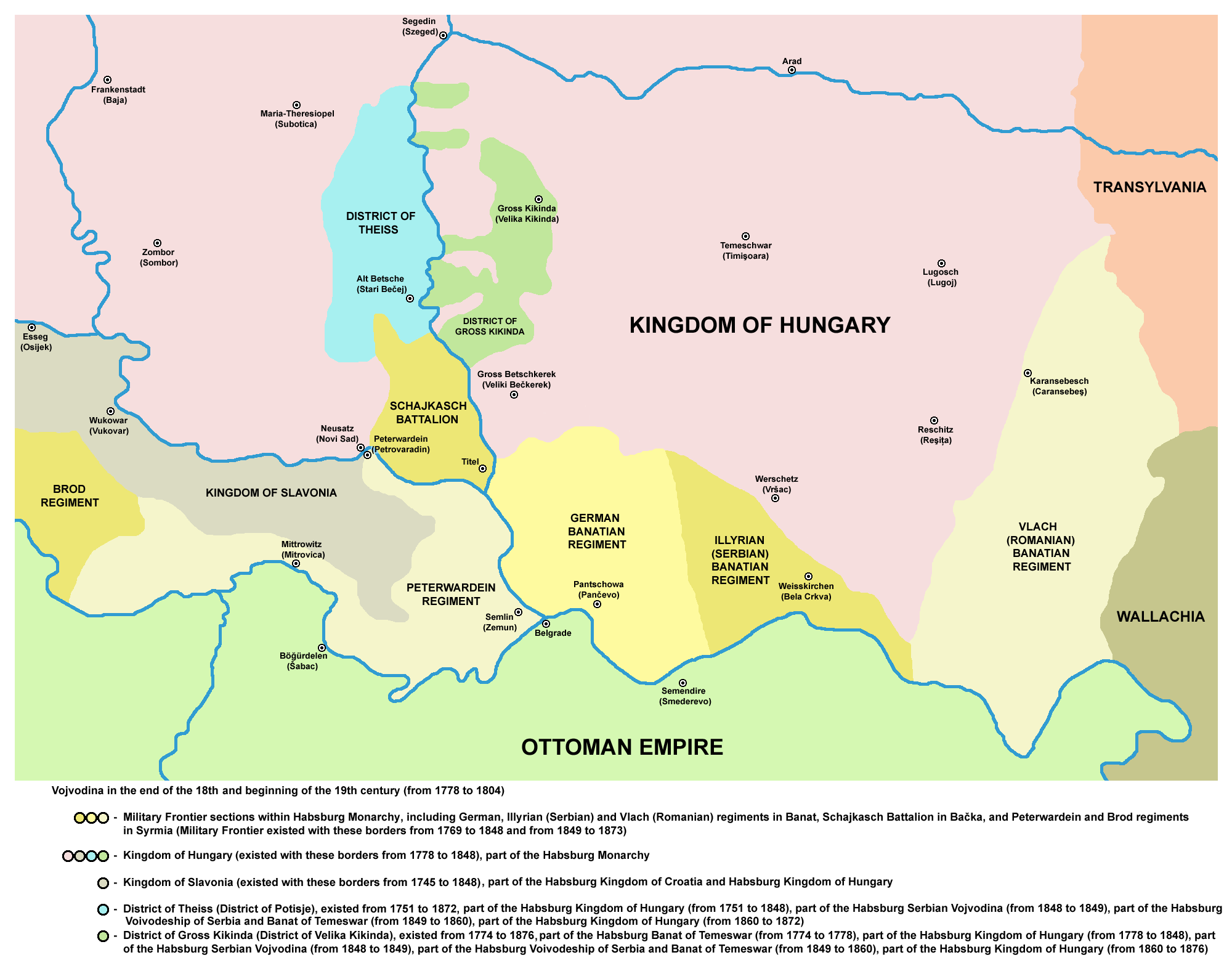
The Banat Military Frontier or simply Banat Frontier (; ; ) was a district of the Habsburg monarchy's Military Frontier during the 18th and 19th centuries. It was located in southern parts of the Banat region. It was formed in 1764, out of territories of the Banat of Temeswar. Today, the territory is split between Serbia and Romania. Geography The Frontier was divided into Serb (''Illyrian''), German (''Danube Swabian'') and Romanian (''Vlach'') sections. It included parts of modern-day Banat and the south-eastern part of Bačka region, known as Šajkaška. Some of the important cities and places were: Pančevo, Bela Crkva, Titel, Žabalj, Alibunar, Kovin, and Caransebeş. History The military province of Habsburg monarchy known as the Banat of Temeswar was created in 1718. In 1751, Maria Theresa introduced a civil administration for the northern part of the province. The southern part remained under military administration and was organized as the Banat Military Frontier. I ... [...More Info...] [...Related Items...] OR: [Wikipedia] [Google] [Baidu] |
Caransebeș
Caransebeș (; ; , Hungarian pronunciation: ) is a city in Caraș-Severin County, part of the Banat region in southwestern Romania. One village, Jupa (), is administered by the city. The city is located at the confluence of the Timiș River with the Sebeș River, the latter flowing from the Țarcu Mountains. To the west, it is in direct contact with the Banat Hills. It is an important railroad node, being located approximately 40 km from the county seat, Reșița, 21 km from Oțelu Roșu, 70 km from Hațeg, and about 25 km from the Muntele Mic ski resort, in the Țarcu Mountains. Climate Caransebeș has an oceanic climate (''Cfb'' in the Köppen climate classification), with an average of , but summers can be warm, with an average of . Rainfall can be quite abundant throughout the year. History The first traces of habitation here might date as far as Dacian times. Dacian ruins have been discovered recently near Obreja, a village 7 km away. As t ... [...More Info...] [...Related Items...] OR: [Wikipedia] [Google] [Baidu] |
Cerna (Danube)
The Cerna () is a river in Romania, a left tributary of the river Danube. The Cerna has its source on the south-east side of the Godeanu Mountains and flows into the Danube near the town Orșova. e-calauza.ro The upper reach of the river is sometimes called Cernișoara. With a length of and its basin of , it carves an erosive tectonic valley with numerous gorges, quite deep sometimes. There is a man-made lake on it (Tierna), just before it crosses the spa, to perpetuate the old toponimic od Dierna. The upper course of the Cerna is part of the [...More Info...] [...Related Items...] OR: [Wikipedia] [Google] [Baidu] |


