|
Klickitat Mineral Springs
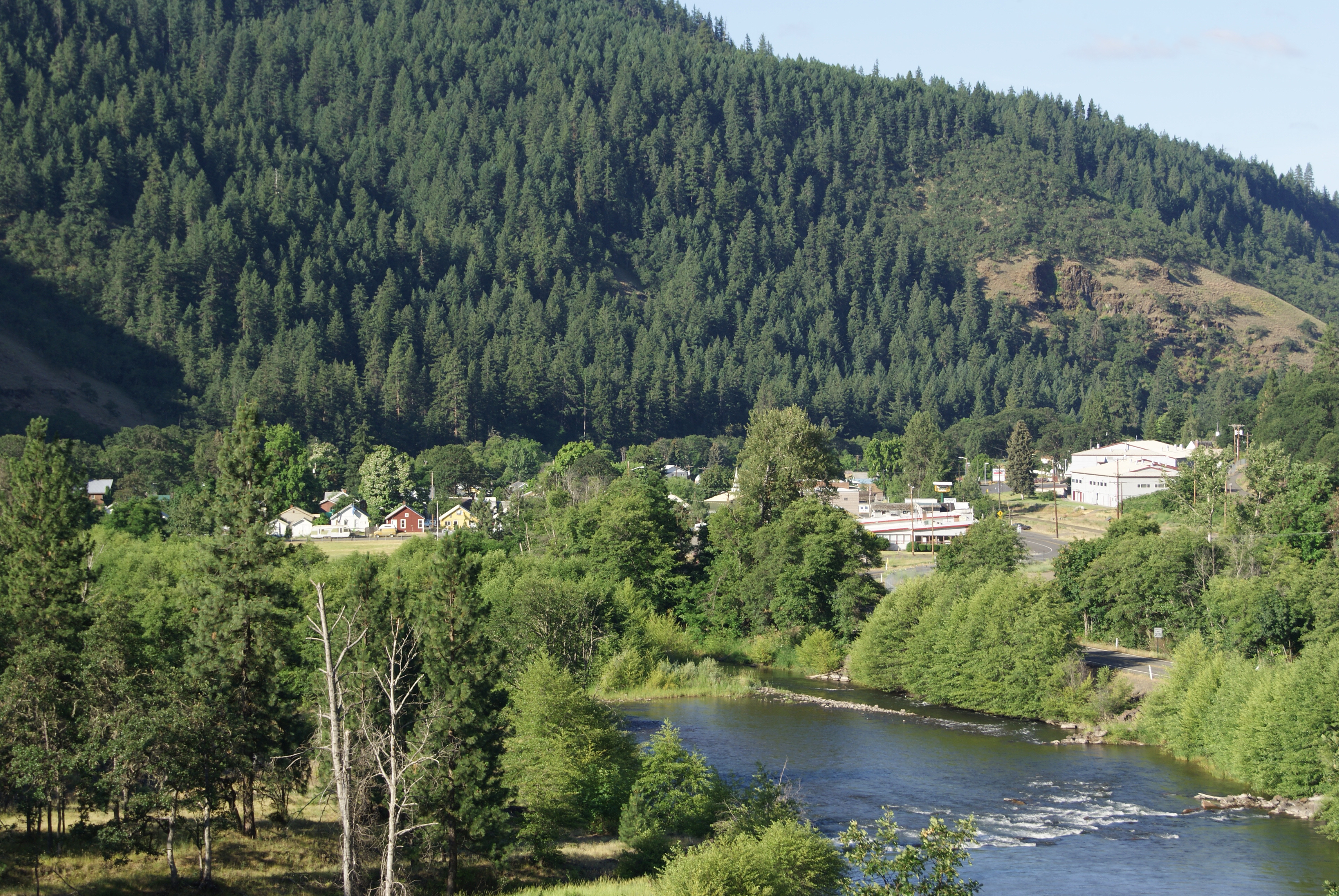
Two miles east of Klickitat, Washington are the Klickitat Mineral Springs. CO2 seeps from crevices in the basalt rock formation, presumed to originate from Mt. Adams. As early as 1879 a stage driver named Ed Phillips made side trips from Goldendale, Washington on his route between The Dalles, Oregon and Ellensburg, Washington for the carbonated water. While excavating one of the springs it caved in on him and he found himself in a warm mineral bath. The Native Americans in the nearby Wahkiakus village were already well aware of warm mineral baths, having built sweat houses utilizing the warm, carbonated water. Plans for a health spa gave way to a large bottling plant to supply Safeway with bottled water. However, although the bottled water was well liked it wasn't possible to keep the water clear and the bottles would soon go flat. After the owner, Mr. Langdon of Walla Walla, Washington, killed himself, in 1931 Raymond Newbern was sent by the Baker-Boyer Bank of Walla Walla to invest ... [...More Info...] [...Related Items...] OR: [Wikipedia] [Google] [Baidu] |
Klickitat, Washington
Klickitat is an unincorporated community and census-designated place (CDP) in Klickitat County, Washington, United States. The population was 362 at the 2010 census. Once the site of a lumber mill, it is now primarily a bedroom community. Geography Klickitat is located along the Klickitat River at (45.816412, -121.163790). The closest major town is Goldendale, to the east. State Route 142 passes through Klickitat, leading southwest (downstream) to Pitt and east (upstream) the same distance to Wahkiacus. Lyle, along the Columbia River, is to the southwest via Route 142. According to the United States Census Bureau, the Klickitat CDP has a total area of , all of it land. Demographics As of the census of 2000, there were 417 people, 147 households, and 110 families residing in the CDP. The population density was 161.9 people per square mile (62.4/km2). There were 173 housing units at an average density of 67.2/sq mi (25.9/km2). The racial makeup of the CDP was 92 ... [...More Info...] [...Related Items...] OR: [Wikipedia] [Google] [Baidu] |
Goldendale, Washington
Goldendale is a city and county seat of Klickitat County, Washington, United States, near the Columbia River Gorge. The population within city limits was 3,760 at the 2000 census and 3,407 at the 2010 census, a 9.4% decrease. It is situated in a primarily agricultural area and is also near Goldendale Observatory State Park. The valley in which Goldendale is located offers views of the Cascade Mountains to the west and the Simcoe Hills to the north. History In 1859 the town was given its name by the early homesteader John Golden, a Pennsylvania-born farmer who settled with his wife from Oregon. His home at Columbus Street and Collins Street remains standing in downtown Goldendale. The town was designated as the county seat of Klickitat County in 1878. Goldendale was officially incorporated on November 14, 1879. Much of the young town, including the county courthouse, was destroyed in a devastating fire on May 13, 1888. On June 9, 1918, William Wallace Campbell, director of the ... [...More Info...] [...Related Items...] OR: [Wikipedia] [Google] [Baidu] |
The Dalles, Oregon
The Dalles is the largest city of Wasco County, Oregon, United States. The population was 16,010 at the 2020 census, and it is the largest city on the Oregon side of the Columbia River between the Portland Metropolitan Area, and Hermiston. History The site of what is now the city of The Dalles was a major Native American trading center. The general area is one of the continent's most significant archaeological regions. Lewis and Clark camped near Mill Creek on October 25–27, 1805, and recorded the Indian name for the creek as ''Quenett''. Etymology The name of the city comes from the French word ''dalle'', meaning either "sluice", akin to English "dale" and German ''T'' 'h'''al'', "valley", or "flagstone", referring to the columnar basalt rocks carved by the river (in ''voyageur'' French used to refer to rapids), which was used by the French-Canadian employees of the North West Company to refer to the rapids of the Columbia River between the present-day city and Celilo ... [...More Info...] [...Related Items...] OR: [Wikipedia] [Google] [Baidu] |
Ellensburg, Washington
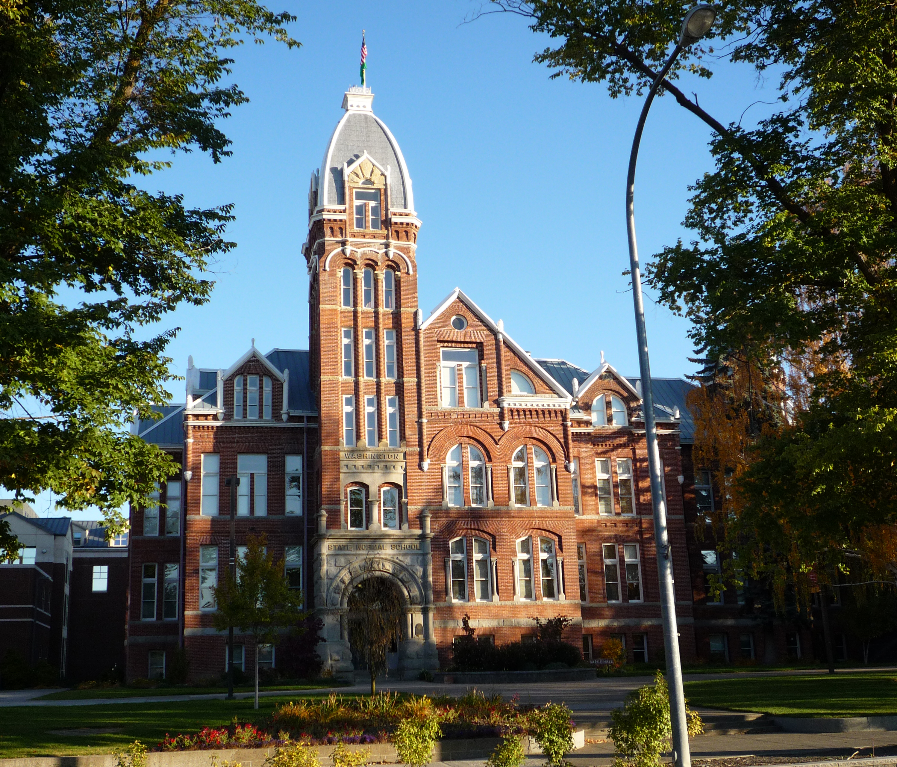
Ellensburg is a city in and the county seat of Kittitas County, Washington, United States. It is located just east of the Cascade Range near the junction of Interstate 90 and Interstate 82 Interstate 82 (I-82) is an Interstate Highway in the Pacific Northwest region of the United States that travels through parts of Washington and Oregon. It runs from its northwestern terminus at I-90 in Ellensburg, Washington, to its southeaste .... The population was 18,666 at the 2020 United States census, 2020 census. and was estimated to be 19,596 in 2021. The city is located along the Yakima River in the Kittitas Valley, an agricultural region that extends east towards the Columbia River. The valley is a major producer of timothy hay, which is processed and shipped internationally. Ellensburg is also the home of Central Washington University (CWU). Ellensburg, originally named Ellensburgh for the wife of town founder John Alden Shoudy, was founded in 1871 and grew rapidly in the 1880 ... [...More Info...] [...Related Items...] OR: [Wikipedia] [Google] [Baidu] |
Walla Walla, Washington
Walla Walla is a city in Walla Walla County, Washington, where it is the largest city and county seat. It had a population of 34,060 at the 2020 census, estimated to have decreased to 33,927 as of 2021. The population of the city and its two suburbs, the town of College Place and unincorporated Walla Walla East, is about 45,000. Walla Walla is in the southeastern region of Washington, approximately four hours away from Portland, Oregon, and four and a half hours from Seattle. It is located only north of the Oregon border. History Native history and early settlement Walla Walla's history starts in 1806 when the Lewis and Clark expedition encountered the Walawalałáma (Walla Walla people) near the mouth of Walla Walla River. Other inhabitants of the valley included the Liksiyu (Cayuse), Imatalamłáma (Umatilla), and Niimíipu (Nez Perce) indigenous peoples. In 1818, Fort Walla Walla (originally Fort Nez Percés), a fur trading outpost run by Hudson's Bay Company (HBC) ... [...More Info...] [...Related Items...] OR: [Wikipedia] [Google] [Baidu] |
Ice Plant-2
Ice is water frozen into a solid state, typically forming at or below temperatures of 0 degrees Celsius or Depending on the presence of impurities such as particles of soil or bubbles of air, it can appear transparent or a more or less opaque bluish-white color. In the Solar System, ice is abundant and occurs naturally from as close to the Sun as Mercury to as far away as the Oort cloud objects. Beyond the Solar System, it occurs as interstellar ice. It is abundant on Earth's surfaceparticularly in the polar regions and above the snow lineand, as a common form of precipitation and deposition, plays a key role in Earth's water cycle and climate. It falls as snowflakes and hail or occurs as frost, icicles or ice spikes and aggregates from snow as glaciers and ice sheets. Ice exhibits at least eighteen phases ( packing geometries), depending on temperature and pressure. When water is cooled rapidly (quenching), up to three types of amorphous ice can form depending on its hist ... [...More Info...] [...Related Items...] OR: [Wikipedia] [Google] [Baidu] |


.jpg)


.jpg)
