|
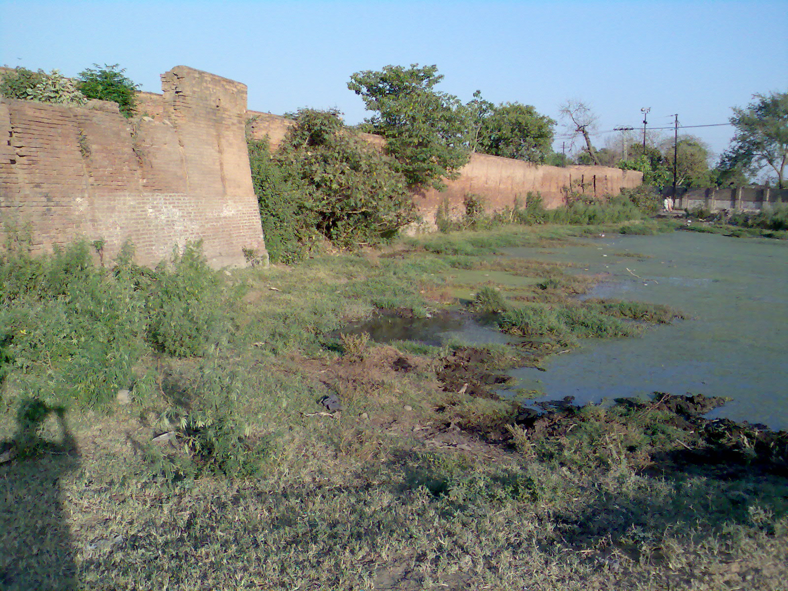
Khambi, Pakistan
Khambi is a large village of Sarai Alamgir Tehsil, district Gujrat, Pakistan. It is bounded on two sides by the river Jhelum and Upper Canal Jhelum and on the other two sides by small streams. Khambi village has divided into three different parts 1.tawela 2.jalilpur and Khambi Education There is a Government Elementary School A primary school (in Ireland, the United Kingdom, Australia, Trinidad and Tobago, Jamaica, and South Africa), junior school (in Australia), elementary school or grade school (in North America and the Philippines) is a school for primary ed ... located in Khambi and also a government school. Noble Public high school, Alhijaz high school and Alamgir public high school. References {{coord missing, Pakistan Populated places in Gujrat District ... [...More Info...] [...Related Items...] OR: [Wikipedia] [Google] [Baidu] |
Sarai Alamgir Tehsil
Sarai Alamgir Tehsil (Urdu: ) is one of four administrative areas, or Tehsils, in the District of Gujrat. The Tehsil is located on the eastern bank of the Jhelum River across from the larger town of Jhelum. East of the Tehsil is the Upper Jhelum Canal. Geography and climate Sarai is located at (32.900000, 73.750000) and lies at an altitude of 232 metres (763 ft) above sea-level. The Tehsil as a whole has a moderate climate. In summer, temperatures can reach 45 °C, but the hot spells are comparatively short. The winter months are very pleasant with temperatures rarely falling below 2°C. Location Sarai Alamgir Tehsil is south of the city of Jhelum, Punjab, Pakistan., Tehsil Municipal Administration, Sarai Alamgir Tehsil official website, Retrieved 10 Aug 2016 History The actual town of Sarai was founded by the Mughal emperor Aurangzeb because of its strategic location on the Grand Trunk Road and the Jhelum River as well as its proximity to Kashmir. Sarai Alamgir was given ... [...More Info...] [...Related Items...] OR: [Wikipedia] [Google] [Baidu] |
District Gujrat
Gujrat (Punjabi and ur, ), is a district of Punjab Province in Pakistan. It is bounded on the northeast by Mirpur, on the northwest by the River Jhelum, which separates it from Jhelum District, on the east and southeast by the Chenab River, separating it from the districts of Gujranwala and Sialkot, and on the west by Mandi Bahauddin. District Gujrat is spread over an area of 3,192 square kilometres. History Ancient history According to the British Imperial Gazetteer: However the foundation of the capital, Gujrat, according to the Ancient Geography of India: Islamic Rule (Ghaznavid, Ghurid, Delhi, Suri, and Mughal Empires) In 997 CE, Mahmud Ghaznavi, took rule over the Ghaznavid dynasty established by his father Sebuktegin. After defeating the Hindu Shahis, he conquered their kingdom entirely which included the Punjab region of modern day Pakistan. After defeating the Ghaznavids, the Ghurids took over the region. They were in turn succeeded by the Sultanates of ... [...More Info...] [...Related Items...] OR: [Wikipedia] [Google] [Baidu] |
Jhelum
Jhelum ( Punjabi and ur, ) is a city on the east bank of the Jhelum River, which is located in the district of Jhelum in the north of Punjab province, Pakistan. It is the 44th largest city of Pakistan by population. Jhelum is known for providing many soldiers to the British Army before independence, and later to the Pakistan armed forces – due to which it is also known as ''City of Soldiers'' or ''Land of Martyrs and Warriors''. Jhelum is a few miles upstream from the site of the ancient Battle of the Hydaspes between the armies of Alexander and King Porus. Possibly Jhelum City was the capital of Porus' Kingdom, Paurava. A city called Bucephala was founded nearby to commemorate the death of Alexander's horse, Bucephalus. Other notable sites nearby include the 16th-century Rohtas Fort, the Tilla Jogian complex of ancient temples, and the 16th-century Grand Trunk Road which passes through the city. According to the 2017 census of Pakistan, the population of Jhelum was 19 ... [...More Info...] [...Related Items...] OR: [Wikipedia] [Google] [Baidu] |
Primary Education
Primary education or elementary education is typically the first stage of formal education, coming after preschool/kindergarten and before secondary school. Primary education takes place in ''primary schools'', ''elementary schools'', or first schools and middle schools, depending on the location. The International Standard Classification of Education considers primary education as a single-phase where programmes are typically designed to provide fundamental reading, writing, and mathematics skills and establish a solid foundation for learning. This is ISCED Level 1: Primary education or first stage of basic education.Annex III in the ISCED 2011 English.pdf Navigate to International Standard Classification of Education (ISCED) Definition The ISCED definition in 1997 po ...[...More Info...] [...Related Items...] OR: [Wikipedia] [Google] [Baidu] |

