|
Kasa District, Kyoto
is a former district located in Kyoto Prefecture, Japan. It was dissolved on January 1, 2006 when its last remaining municipality, the town of Ōe, Kyoto was merged with the city of Fukuchiyama Towns and Villages Kasa district formerly encompassed: *Maizuru (entire city) * Miyazu (Yura, Ishiura neighborhoods) *Fukuchiyama, Kyoto (Ōe neighborhood) History Kasa District was an ancient district of Tanba Province, and was one of the five districts for Tanba which were separated into Tango Province in 713.The provincial capital and kokubun-ji of the province were located in Kasa district. At the end of the Edo Period, the district was organized into one town (Maizuru) and 134 villages, mostly under the control of Tango-Tanabe Domain. Modern Kasa District was established on April 10, 1879 within Kyoto Prefecture is a Prefectures of Japan, prefecture of Japan located in the Kansai region of Honshu. Kyoto Prefecture has a population of 2,561,358 () and has a geographic area of . K ... [...More Info...] [...Related Items...] OR: [Wikipedia] [Google] [Baidu] |
Kyoto Kasa-gun
Kyoto ( or ; Japanese: , ''Kyōto'' ), officially , is the capital city of Kyoto Prefecture in the Kansai region of Japan's largest and most populous island of Honshu. , the city had a population of 1.46 million, making it the ninth-most populous city in Japan. More than half (56.8%) of Kyoto Prefecture's population resides in the city. The city is the cultural anchor of the substantially larger Greater Kyoto, a metropolitan statistical area (MSA) home to a census-estimated 3.8 million people. It is also part of the even larger Keihanshin metropolitan area, along with Osaka and Kobe. Kyoto is one of the oldest municipalities in Japan, having been chosen in 794 as the new seat of Japan's imperial court by Emperor Kanmu. The original city, named Heian-kyō, was arranged in accordance with traditional Chinese feng shui following the model of the ancient Chinese capitals of Chang'an and Luoyang. The emperors of Japan ruled from Kyoto in the following eleven centuries until 1869. ... [...More Info...] [...Related Items...] OR: [Wikipedia] [Google] [Baidu] |
Districts Of Japan
In Japan, a is composed of one or more rural municipalities (Towns of Japan, towns or Villages of Japan, villages) within a Prefectures of Japan, prefecture. Districts have no governing function, and are only used for geographic or statistical purposes such as mailing addresses. Cities of Japan, Cities are not part of districts. Historically, districts have at times functioned as an administrative unit in Japan, administrative unit. From 1878 to 1921The governing law, the district code (''gunsei'', 郡制Entry for the 1890 originalanentry for the revised 1899 ''gunsei''in the National Diet Library ''Nihon hōrei sakuin''/"Index of Japanese laws and ordinances"), was abolished in 1921, but the district assemblies (''gunkai'', 郡会) existed until 1923, the district chiefs (''gunchō'', 郡長) and district offices (''gun-yakusho'', 郡役所) until 1926. district governments were roughly equivalent to a County (United States), county of the United States, ranking below Prefectu ... [...More Info...] [...Related Items...] OR: [Wikipedia] [Google] [Baidu] |
Kyoto Prefecture
is a Prefectures of Japan, prefecture of Japan located in the Kansai region of Honshu. Kyoto Prefecture has a population of 2,561,358 () and has a geographic area of . Kyoto Prefecture borders Fukui Prefecture to the northeast, Shiga Prefecture to the east, Mie Prefecture to the southeast, Nara Prefecture and Osaka Prefecture to the south, and Hyōgo Prefecture to the west. Kyoto, the capital and largest city, accommodates 57% of the prefecture's total population, with other major cities including Uji, Kameoka, Kyoto, Kameoka, and Maizuru. Kyoto Prefecture is located on the Sea of Japan coast and extends to the southeast towards the Kii Peninsula, covering territory of the former Provinces of Japan, provinces of Yamashiro Province, Yamashiro, Tamba Province, Tamba, and Tango Province, Tango. Kyoto Prefecture is centered on the historic Imperial Court in Kyoto, Imperial capital of Kyoto, and is one of Japan's two "Fu (administrative division), prefectures" using the designation ' ... [...More Info...] [...Related Items...] OR: [Wikipedia] [Google] [Baidu] |
Japan
Japan is an island country in East Asia. Located in the Pacific Ocean off the northeast coast of the Asia, Asian mainland, it is bordered on the west by the Sea of Japan and extends from the Sea of Okhotsk in the north to the East China Sea in the south. The Japanese archipelago consists of four major islands—Hokkaido, Honshu, Shikoku, and Kyushu—and List of islands of Japan, thousands of smaller islands, covering . Japan has a population of over 123 million as of 2025, making it the List of countries and dependencies by population, eleventh-most populous country. The capital of Japan and List of cities in Japan, its largest city is Tokyo; the Greater Tokyo Area is the List of largest cities, largest metropolitan area in the world, with more than 37 million inhabitants as of 2024. Japan is divided into 47 Prefectures of Japan, administrative prefectures and List of regions of Japan, eight traditional regions. About three-quarters of Geography of Japan, the countr ... [...More Info...] [...Related Items...] OR: [Wikipedia] [Google] [Baidu] |
Fukuchiyama, Kyoto
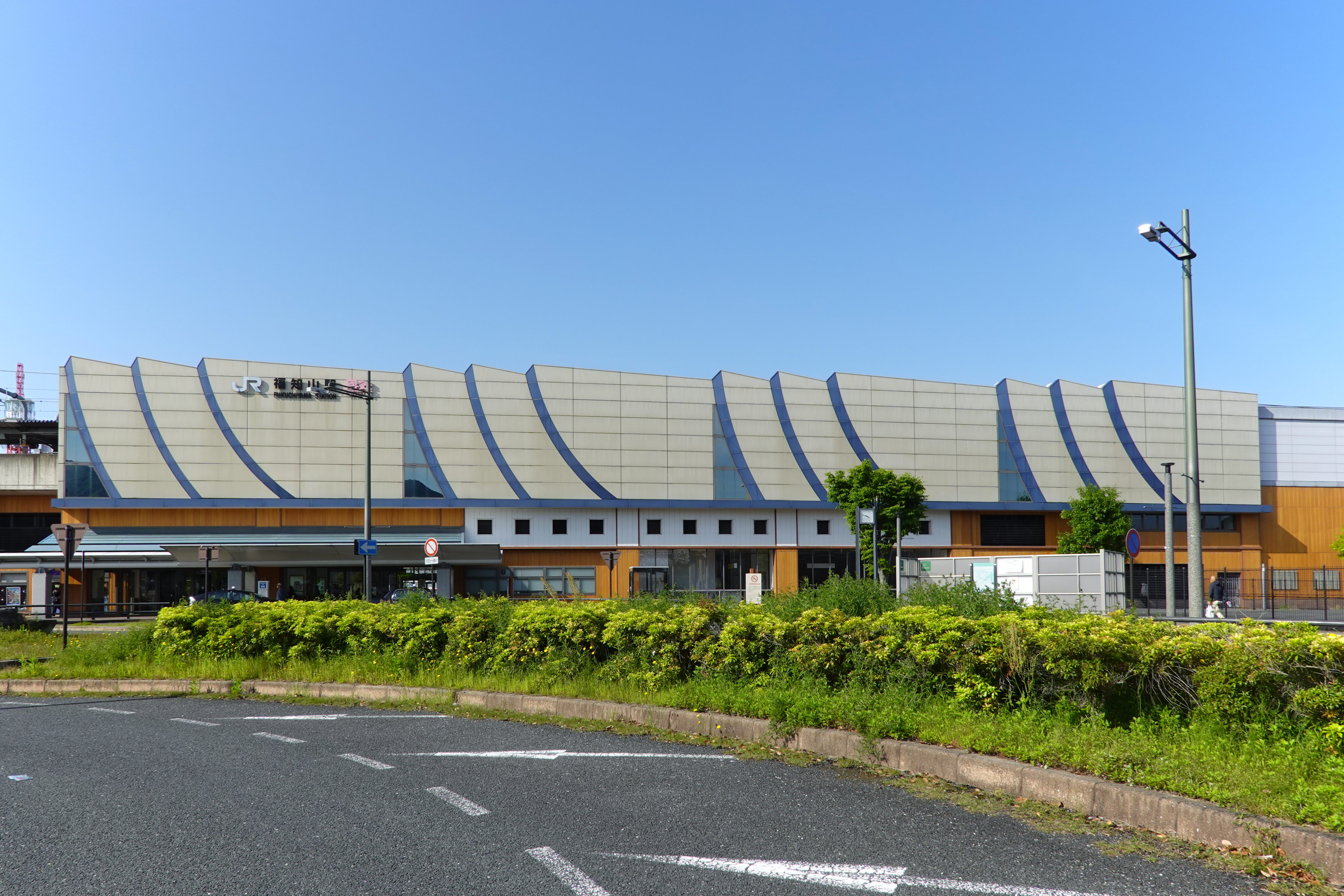
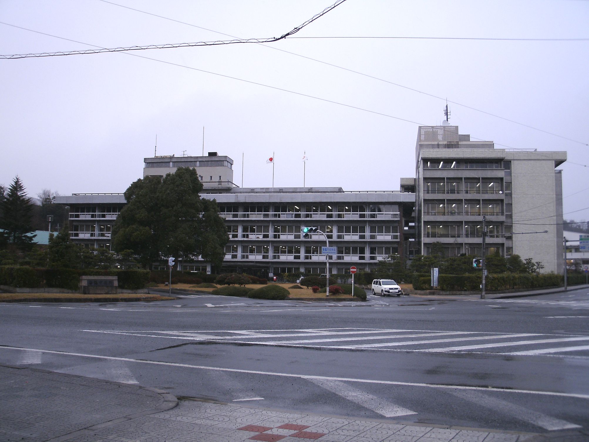
file:Fukuchiyama City Hall.jpg, Fukuchiyama City Hall file:福知山駅プラットフォームより View toward northeast from platform of Fukuchiyama station 2011.1.10 - panoramio.jpg, Fukuchiyama city center is a Cities of Japan, city in northern Kyoto Prefecture, Japan. , the city had an estimated population of 76,037 in 36412 households and a population density of 140 persons per km2. The total area of the city is . Geography Fukuchiyama is located in northwestern Kyoto Prefecture, bordering Hyōgo Prefecture to the west. It is centered on the Fukuchiyama Basin formed by the Yura River (Japan), Yura River, and is surrounded by mountains to the south, west, and east. It is located about 70 kilometers from downtown Osaka, 60 kilometers from Kyoto or Kobe City, and about 30 kilometers from Toyooka or Maizuru. The highest elevation in the city is 839.17 meters above sea level, and the lowest is 7.11 meters. The city center extends along the Yura River. Neighbouring municipal ... [...More Info...] [...Related Items...] OR: [Wikipedia] [Google] [Baidu] |
Maizuru
is a city in Kyoto Prefecture, Japan. , the city had an estimated population of 78,644 in 34,817 households and a population density of 230 persons per km2. The total area of the city is . Geography Maizuru is located in northern Kyoto Prefecture, facing scenic Maizuru Bay on the Sea of Japan to the north and Fukui Prefecture to the east. Neighboring municipalities Fukui Prefecture * Takahama Kyoto Prefecture * Ayabe *Fukuchiyama * Miyazu Climate Like Toyooka in Hyōgo Prefecture, Maizuru has a climate resembling the Hokuriku region rather than the rest of Kansai, though it is less wet than other Hokuriku towns during the late autumn and winter because its location on a deep inlet means the northerly winds driven by the Siberian High and Aleutian Low do not produce as much rain and/or snow. In the summer, however, Maizuru can be extremely oppressive as the intense radiation creates extreme humidity around the bay: on August 13, 1994 the town recorded a ''minimum'' temper ... [...More Info...] [...Related Items...] OR: [Wikipedia] [Google] [Baidu] |
Miyazu, Kyoto
is a Cities of Japan, city located in Kyoto Prefecture, Japan. , the city had an estimated population of 16,988 in 8348 households and a population density of 98 persons per km2. The total area of the city is . Geography Miyazu is located in the northern part of Kyoto Prefecture at the base of the Tango Peninsula, facing Wakasa Bay of the Sea of Japan to the east. Located in Miyazu City is Amanohashidate or the "bridge to heaven", said to be one of Japan's Three Views of Japan, three most beautiful sights. The naturally formed land bridge is long and covered in pine trees. Neighboring municipalities Kyoto Prefecture *Fukuchiyama, Kyoto, Fukuchiyama *Ine, Kyoto, Ine *Kyōtango, Kyoto, Kyōtango *Maizuru, Kyoto, Maizuru *Yosano, Kyoto, Yosano Climate Miyazu has a humid subtropical climate (Köppen climate classification, Köppen ''Cfa''), featuring a marked seasonal variation in temperature and precipitation. Summers are hot and humid, but winters are relatively cold with occas ... [...More Info...] [...Related Items...] OR: [Wikipedia] [Google] [Baidu] |
Tanba Province
was a province of Japan in the area of central Kyoto and east-central Hyōgo Prefectures. Tanba bordered on Harima, Ōmi, Settsu, Tajima. Tango, Wakasa, and Yamashiro provinces. Its abbreviated form name was . In terms of the Gokishichidō system, Tanba was one of the provinces of the San'indō circuit. Under the '' Engishiki'' classification system, Tanba was ranked as one of the "superior countries" (上国) in terms of importance, and one of the "near countries" (近国) in terms of distance from the capital. The provincial capital is believed to have been located in what is now the city of Kameoka, although the exact location remains uncertain. The ''ichinomiya'' of the province is the Izumo-daijingū also located in Kameoka. The province had an area of . History Before the establishment of the Ritsuryō system, the area was under control of the Tanba Kokuzō and included both the Tanba and Tango areas. The province of Tango was created in 713 during the reign o ... [...More Info...] [...Related Items...] OR: [Wikipedia] [Google] [Baidu] |
Tango Province
was a Provinces of Japan, province of Japan in the area of northern Kyoto Prefecture. Tango bordered on Tanba Province, Tanba to the south, Tajima Province, Tajima to the west, and Wakasa Province, Wakasa to the east. Its abbreviated form name was . It was also referred to as or . In terms of the Gokishichidō system, Tango was one of the provinces of the San'indō circuit. Under the ''Engishiki'' classification system, Tango was ranked as one of the "middle countries" (中国) in terms of importance, and one of the "near countries" (近国) in terms of distance from the capital. The provincial capital was located in what is now the city of Miyazu, Kyoto, Miyazu. The ''ichinomiya'' of the province is the Kono Shrine also located in Miyazu. The province had an area of . History Early history The Tango region prospered around the Takeno River basin (present-day Kyōtango city) during the Kofun period, during which time many keyhole-shaped kofun, burial mounds were constructed ... [...More Info...] [...Related Items...] OR: [Wikipedia] [Google] [Baidu] |
Kokufu
were the capitals of the historical Provinces of Japan from the Nara period to the Heian period. History As part of the Taika Reform (645), which aimed at a centralization of the administration following the Chinese model (''ritsuryō''), the ''kokufu'' and with it the office of the Kokushi (official), kokushi, replacing the older ''Kuni no miyatsuko'', developed in the 660s. The ''Wamyō Ruijushō'' (Collection of Japanese Names) from 935 contains the earliest listing of the capitals of the provinces and their location. The location of the original capitals of the 8th and 9th century are not passed down. When during the Muromachi Period, starting in the 14th century, the functions of the kokushi were increasingly transferred to military governors or constables (''shugo''), the provincial governments (''kokuga'') lost their importance. Organisation In the center of the ''kokufu'' lay the provincial government (''kokuga'') with its offices (administration, farming, finance, po ... [...More Info...] [...Related Items...] OR: [Wikipedia] [Google] [Baidu] |
Kokubun-ji
The are Buddhist temples in Japan, Buddhist temples established in each of the provinces of Japan by Emperor Shōmu during the Nara period (710 – 794). The official name for each temple was Konkomyo Shitenno Gokoku-ji (Konkōmyō Shitennō Gokoku-ji ) History The ''Shoku Nihongi'' records that in 741, as the country recovered from a 735–737 Japanese smallpox epidemic, major smallpox epidemic, Emperor Shōmu ordered that a monastery and nunnery be established in every Provinces of Japan, province. Each temple was to have one statue of The Buddha, Shaka Nyorai and two attendant Bodhisattva statues, and a copy of the Large Prajñāpāramitā Sūtras. Later, it was added that each temple must also have a seven-story Japanese pagoda, pagoda, copies of ten volumes of the Lotus Sutra and a copy of the Golden Light Sutra in golden letters. To provide funds for the upkeep, each temple and nunnery was to be assigned 50 households and 10 Japanese units of measurement#Area, ''chō'' o ... [...More Info...] [...Related Items...] OR: [Wikipedia] [Google] [Baidu] |


