|
Karungu
Karungu (Karunga) is a village in Kenya on the shore above Lake Victoria, near the frontier with Tanzania. Administratively it is in Karungu Location, Karungu Division, Migori County. History Located on the headland overlooking Karungu Bay, the village was originally expected to grow into a bustling port. A stone pier was built in the late 1800s and a customs house, but the project failed due to endemic malaria. The nearby village of Sori eventually surpassed Karungu and became the market town. Nevertheless, Karungu had already given its name to the bay and the administrative division. In World War I, in September 1914, the Germans, from German East Africa German East Africa (GEA; german: Deutsch-Ostafrika) was a German colony in the African Great Lakes region, which included present-day Burundi, Rwanda, the Tanzania mainland, and the Kionga Triangle, a small region later incorporated into Mozam ..., occupied Karungu after falling back from their attack on Kisi. The steame ... [...More Info...] [...Related Items...] OR: [Wikipedia] [Google] [Baidu] |
Migori County
Migori County is a county in the former Nyanza Province of southwestern Kenya. It is located in Southwestern Kenya and borders Homa Bay County (North), Kisii County (North E), Narok (South East), Tanzania (West and South) and Lake Victoria to the West. The county also borders Uganda via Migingo Island in Lake Victoria. The county is headquartered by Migori town, which is also its largest town. The Kenya National Census of 2019 indicated that Migori County had a population of 1,116,436 compared to 917, 170 in 2009 Census. Migori County is located in the sugar belt wetlands of Western Kenya and is mostly at the heart of the African tropics. However, the county enjoys a pleasant climate because of high altitude which modifies the climate alongside the cool breeze from Lake Victoria. Demographically, Migori County is the most diverse region of Nyanza after Kisumu. The inhabitants include AbaSuba people, Joluo, Abakuria, Abagusii, Abaluhya, Somalis, Indians, Arabs, Agikuyu and Nubia ... [...More Info...] [...Related Items...] OR: [Wikipedia] [Google] [Baidu] |
Counties Of Kenya
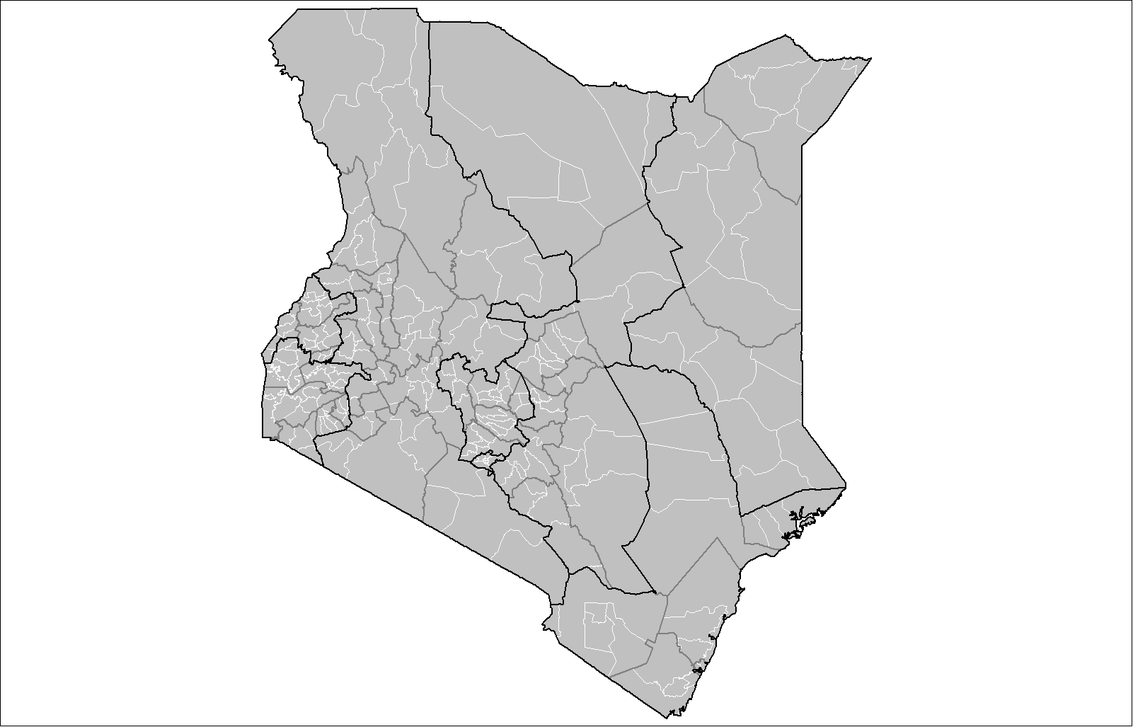
The Counties of Kenya ( sw, Kaunti za Kenya) are geographical units envisioned by the 2010 Constitution of Kenya as the new units of devolved government that replaced the previous provincial system. The establishment and executive powers of the counties is provided in Chapter Eleven of the Constitution on devolved government, the Constitution's Fourth Schedule and any other legislation passed by the Senate of Kenya concerning counties. The counties are also single-member constituencies for the election of members of parliament to the Senate of Kenya, and special women members to the National Assembly of Kenya. As of 2022, there are 47 counties whose size and boundaries are based on the 47 legally recognized regions established by the 2010 Constitution. Following the re-organization of Kenya's national administration, counties were integrated into a new national administration with the national government posting county commissioners to counties to serve as a collaborative ... [...More Info...] [...Related Items...] OR: [Wikipedia] [Google] [Baidu] |
Divisions Of Kenya
The districts of Kenya were divided into 262 divisions (''matarafa''). Divisions of Kenya were further subdivided into locations. Today's counties of Kenya are based on the merging of some of the districts on this list and since the divisions are one level under the districts they are now the sub-counties. This is because Kenya recently changed its constitution and 47 Counties emerged. Here are the divisions listed below, by district (before the change in administration): Baringo District *Kabarnet *Kabartonjo * Marigat * Mochongoi * Mogotio * Nginyang *Ravine * Tenges Bomet District *Bomet * Chepalungu * Konoin Bondo District Bungoma District * Cheptaisi * Kanduyi * Kapsokwony *Kimilili * Mt.elgon Forest * Sirisia * Tongareni *Webuye Buret District Busia *Teso North *Teso South * Amukura * Budalangi * Butula * Funyula *Nambale * Matayos Butere/Mumias District Embu District * Central *Nembure *Manyatta *Runyenjes *Kyeni *Gachoka *Mwea *Makima *Kiritiri *Evu ... [...More Info...] [...Related Items...] OR: [Wikipedia] [Google] [Baidu] |
East Africa Time
East Africa Time, or EAT, is a time zone used in eastern Africa. The time zone is three hours ahead of UTC ( UTC+03:00), which is the same as Moscow Time, Arabia Standard Time, Further-eastern European Time and Eastern European Summer Time. As this time zone is predominantly in the equatorial region, there is no significant change in day length throughout the year and so daylight saving time is not observed. East Africa Time is observed by the following countries: * * * * * * * * * See also *Moscow Time, an equivalent time zone covering Belarus, Turkey and most of European Russia, also at UTC+03:00 *Arabia Standard Time, an equivalent time zone covering Bahrain, Iraq, Kuwait, Qatar, Saudi Arabia and Yemen, also at UTC+03:00 *Eastern European Summer Time, an equivalent time zone covering European and Middle Eastern countries during daylight saving, also at UTC+03:00 *Israel Summer Time, an equivalent time zone covering the State of Israel during daylight saving, also at U ... [...More Info...] [...Related Items...] OR: [Wikipedia] [Google] [Baidu] |
National Geospatial-Intelligence Agency
The National Geospatial-Intelligence Agency (NGA) is a combat support agency within the United States Department of Defense whose primary mission is collecting, analyzing, and distributing geospatial intelligence (GEOINT) in support of national security. Initially known as the National Imagery and Mapping Agency (NIMA) from 1996 to 2003, it is a member of the United States Intelligence Community. NGA headquarters, also known as NGA Campus East or NCE, is located at Fort Belvoir North Area in Springfield, Virginia. The agency also operates major facilities in the St. Louis, Missouri area (referred to as NGA Campus West or NCW), as well as support and liaison offices worldwide. The NGA headquarters, at , is the third-largest government building in the Washington metropolitan area after The Pentagon and the Ronald Reagan Building. In addition to using GEOINT for U.S. military and intelligence efforts, NGA provides assistance during natural and man-made disasters, aids in security ... [...More Info...] [...Related Items...] OR: [Wikipedia] [Google] [Baidu] |
Lake Victoria
Lake Victoria is one of the African Great Lakes. With a surface area of approximately , Lake Victoria is Africa's largest lake by area, the world's largest tropical lake, and the world's second-largest fresh water lake by surface area after Lake Superior in North America. In terms of volume, Lake Victoria is the world's ninth-largest continental lake, containing about of water. Lake Victoria occupies a shallow depression in Africa. The lake has an average depth of and a maximum depth of .United Nations, ''Development and Harmonisation of Environmental Laws Volume 1: Report on the Legal and Institutional Issues in the Lake Victoria Basin'', United Nations, 1999, page 17 Its catchment area covers . The lake has a shoreline of when digitized at the 1:25,000 level, with islands constituting 3.7% of this length. The lake's area is divided among three countries: Kenya occupies 6% (), Uganda 45% (), and Tanzania 49% (). Though having multiple local language names ( luo, Nam ... [...More Info...] [...Related Items...] OR: [Wikipedia] [Google] [Baidu] |
Sori, Kenya
Sori (Suri) is a small town in Migori County, in the former Nyanza Province of Kenya. The town lies on the banks of Lake Victoria. , its population is 8,964. Sori town is located between village i.e Aloma,Ranguda,ngira and Aringo (Aloma koyoto Ezekiel) History Prior to 1968 Sori was in South Nyanza District. In 1968 Nyanza Province was redistricted and Sori ended up in Homa Bay District Homa Bay County is a Counties of Kenya, county in the former Nyanza Province of Kenya. Its capital and largest town is Homa Bay. The county has a population of 1,131,950 (2019 census) and an area of 3,154.7 km2. Lake Victoria is a major so .... About 1985 Homa Bay District was split into a smaller Homa Bay District and a new Migori District, which included Sori. Sori remained in Migori District when Rongo District was abortively created in 2007. In 2001 the former Government Rest House in Sori was declared a national monument under the Antiquities and Monuments Act. Notes Populat ... [...More Info...] [...Related Items...] OR: [Wikipedia] [Google] [Baidu] |
German East Africa
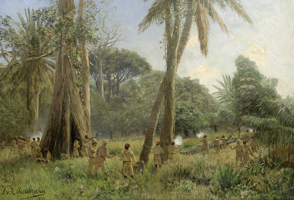
German East Africa (GEA; german: Deutsch-Ostafrika) was a German colony in the African Great Lakes region, which included present-day Burundi, Rwanda, the Tanzania mainland, and the Kionga Triangle, a small region later incorporated into Mozambique. GEA's area was , which was nearly three times the area of present-day Germany and double the area of metropolitan Germany at the time. The colony was organised when the German military was asked in the late 1880s to put down a revolt against the activities of the German East Africa Company. It ended with Imperial Germany's defeat in World War I. Ultimately GEA was divided between Britain, Belgium and Portugal and was reorganised as a mandate of the League of Nations. History Like other colonial powers the Germans expanded their empire in the Africa Great Lakes region, ostensibly to fight slavery and the slave trade. Unlike other imperial powers, however they never formally abolished either slavery or the slave trade and preferre ... [...More Info...] [...Related Items...] OR: [Wikipedia] [Google] [Baidu] |
Kisi, Kenya
Kisii (also known as Getembe or Bosongo) is a municipality and urban centre in south-western Kenya and the capital of the Kisii County. Kisii Town also serves as major urban and commercial centre in the Gusii Highlands— Kisii and Nyamira counties—and the South Nyanza region and the second largest town in formerly greater Nyanza after Kisumu City. Kisii municipality sits right at the centre of the western Kenya tourist circuit that includes the Tabaka Soapstone Carvings, Maasai Mara, Ruma National Park and part of the Lake Victoria Basin. History Kisii town was originally known by the Gusii people as Getembe. It was later named ''Bosongo,'' it originated from 'Abasongo' (to refer to the British or Whites) who lived in the town during the colonial times. The town was originally established by British soldiers who were being forced to retreat from Lake Victoria by heavy gunfire from German soldiers' gunboats during the Great War in the early 20th century. Later Kisii ... [...More Info...] [...Related Items...] OR: [Wikipedia] [Google] [Baidu] |
Shirati
Shirati is a town in Rorya District in North Mara, Tanzania on the shore above Lake Victoria, near the border with Kenya. It has a population of c. 100,000 It is the northernmost town at the border with Kenya at is located in Royra District. Most of the residents of Shirati are DhoLuo speaking people Nilotes. Suba people, a subbranch of Bantu communities who adopted Luo customs, language, and practices also live in Shirati. Similarly, Shirati has a substantial number of Westerners who work at the mission at Kabwana – translated into "the white people's home" from Luo. History When Shirati was part of German East Africa German East Africa (GEA; german: Deutsch-Ostafrika) was a German colony in the African Great Lakes region, which included present-day Burundi, Rwanda, the Tanzania mainland, and the Kionga Triangle, a small region later incorporated into Mozam ..., the Germans built a fort there, built a sturdy gravel road down to the shore of Lake Victoria where they p ... [...More Info...] [...Related Items...] OR: [Wikipedia] [Google] [Baidu] |


