|
Karahüyük (Elbistan)
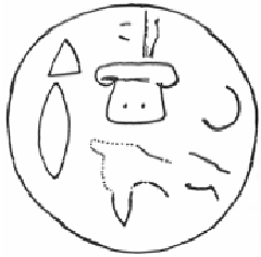
Karahüyük (Elbistan) (also known as Karahöyük, Karahoyuk) is a village of Elbistan district of Kahramanmaraş province of Turkey. It is located 169 km to the north from Kahramanmaraş city and 9 km northwest from the Elbistan town. In 1947, an important Anatolian hieroglyphic inscription stele was discovered near the village. This stele is believed to be from the 12th century BC. The plain of Elbistan shares some history with Arslantepe (Melid). It is believed that Elbistan came under the control of Melid sometime around the 12th century BC. The Malatya group of the Neo-Hittite Hieroglyphic Luwian inscriptions have been studied by scholars. They come from the area of Karahöyük, and are believed to be very ancient. Archaeological excavations have also been conducted at Hamza Tepe, which is in the same area, 10 km northwest of Elbistan town, and to the west of Karahöyük. An ancient cremation cemetery from the Middle Iron Age (8th-7th centuries BC) has been discovered the ... [...More Info...] [...Related Items...] OR: [Wikipedia] [Google] [Baidu] |
Elbistan
Elbistan ( 1ca, Ablasta, Ablastayn, Ablastin, Ablistan;Aksüt, Ali"''On the Alevism of Elbistan, Nurhak, Ekinozu and Afsin - Elbistan Nurhak Ekinözü Afşin Aleviliği Üzerine - Zum Alevitentum in Elbistan, Nurhak, Ekinözü und Afşin''"- Alevilik-Bektaşilik Araştırmaları Dergisi 2017 (No.15), pp.264-265, 27doi:10.24082/abked.2017.15.011/ref> ku, Elbistan; ar, البستان) is a district in Kahramanmaraş Province in southern Turkey. Its population is 142,548 (2019) and it is the most populous district of Kahramanmaraş province. It is also the largest district of the province by area and it has the fourth largest plain in the country. Demographics Evliya Çelebi noted that the majority of the town's population was Turkoman in his seyahatname. Currently, the majority of the population of the district is Sunni Turkish with a significant Alevi and Sunni Kurdish population. Turkish Alevis are also present. The Turkmen Alevism of the region is historically rooted in the ... [...More Info...] [...Related Items...] OR: [Wikipedia] [Google] [Baidu] |
Kahramanmaraş Province
Kahramanmaraş Province kurdish( tr, Kahramanmaraş ili ) is a province of Turkey. Its provincial capital is the city of Kahramanmaraş, the traffic code is 46. Geography Kahramanmaraş is traversed by the northeasterly line of equal latitude and longitude. Districts Kahramanmaraş province is divided into 10 districts (İlçe): *Kahramanmaraş (Central district, soon to be split into Dulkadiroğlu and Onikişubat) *Afşin *Andırın *Çağlayancerit * Ekinözü *Elbistan *Göksun *Nurhak *Pazarcık * Türkoğlu Health Air pollution in Turkey is a chronic problem here, in part due to the coal-fired Afşin-Elbistan power stations. Economy Kahramanmaraş has historically been famous for its gold. The textile industry is relatively new and mostly machinated. Education The Kahramanmaraş Sütçü İmam Universitybr>is a recently founded university supplying social, language and technical sciences as well as medicine, medical education. Cuisine The province's most famou ... [...More Info...] [...Related Items...] OR: [Wikipedia] [Google] [Baidu] |
Kahramanmaraş
Marash (Armenian: Մարաշ), officially Kahramanmaraş () and historically Germanicea (Greek: Γερμανίκεια), is a city in the Mediterranean Region of Turkey and the administrative center of Kahramanmaraş Province. Before 1973, Kahramanmaraş was officially named Maraş, and later, it attained the prefix "kahraman" (meaning "hero" in Turkish) to commemorate Battle of Marash. The city lies on a plain at the foot of the Ahir Dağı (Ahir Mountain).The region is best known for its distinctive ice cream, and its production of salep, a powder made from dried orchid tubers. Kahramanmaraş Airport has flights to İstanbul and Ankara. History Early history In the early Iron Age (late 11th century BC to ca. 711 BC), Maraş was the capital city of the Syro-Hittite state Gurgum (Hieroglyphic Luwian Kurkuma). It was known as "the Kurkumaean city" to its Luwian inhabitants and as Marqas to the Assyrians. In 711 BC, the land of Gurgum was annexed as an Assyrian province and re ... [...More Info...] [...Related Items...] OR: [Wikipedia] [Google] [Baidu] |
Anatolian Hieroglyphic
Anatolian hieroglyphs are an indigenous logographic script native to central Anatolia, consisting of some 500 signs. They were once commonly known as Hittite hieroglyphs, but the language they encode proved to be Luwian, not Hittite, and the term Luwian hieroglyphs is used in English publications. They are typologically similar to Egyptian hieroglyphs, but do not derive graphically from that script, and they are not known to have played the sacred role of hieroglyphs in Egypt. There is no demonstrable connection to Hittite cuneiform. History Individual Anatolian hieroglyphs are attested from the second and early first millennia BC across Anatolia and into modern Syria. A biconvex bronze personal seal was found in the Troy VIIb level (later half of the 12th century BC) inscribed with Luwian Hieroglyphs. The earliest examples occur on personal seals, but these consist only of names, titles, and auspicious signs, and it is not certain that they represent language. Most actual ... [...More Info...] [...Related Items...] OR: [Wikipedia] [Google] [Baidu] |
Arslantepe
Melid, also known as Arslantepe, was an ancient city on the Tohma River, a tributary of the upper Euphrates rising in the Taurus Mountains. It has been identified with the modern archaeological site of Arslantepe near Malatya, Turkey. It was named a UNESCO World Heritage Site under the name Arslantepe Mound on 26 July 2021. History Late Chalcolithic The earliest habitation at the site dates back to the Chalcolithic period. Arslantepe (VII) became important in this region in the Late Chalcolithic. A monumental area with a huge mudbrick building stood on top of a mound. This large building had wall decorations; its function is uncertain. Degirmentepe Değirmentepe, a site located 24 km northeast of Melid, is notable as the location of the earliest secure evidence of copper smelting. The site was built on a small natural outcrop in the flood plain about 40m from the Euphrates River. Early Bronze By the late Uruk period development had grown to include a large temple/pala ... [...More Info...] [...Related Items...] OR: [Wikipedia] [Google] [Baidu] |
Hittites
The Hittites () were an Anatolian people who played an important role in establishing first a kingdom in Kussara (before 1750 BC), then the Kanesh or Nesha kingdom (c. 1750–1650 BC), and next an empire centered on Hattusa in north-central Anatolia (around 1650 BC). This empire reached its height during the mid-14th century BC under Šuppiluliuma I, when it encompassed an area that included most of Anatolia as well as parts of the northern Levant and Upper Mesopotamia. Between the 15th and 13th centuries BC, the Empire of Hattusa—in modern times conventionally called the Hittite Empire—came into conflict with the New Kingdom of Egypt, the Middle Assyrian Empire and the empire of Mitanni for control of the Near East. The Middle Assyrian Empire eventually emerged as the dominant power and annexed much of the Hittite Empire, while the remainder was sacked by Phrygian newcomers to the region. After BC, during the Late Bronze Age collapse, the Hittites splintered in ... [...More Info...] [...Related Items...] OR: [Wikipedia] [Google] [Baidu] |
Maraş Lion
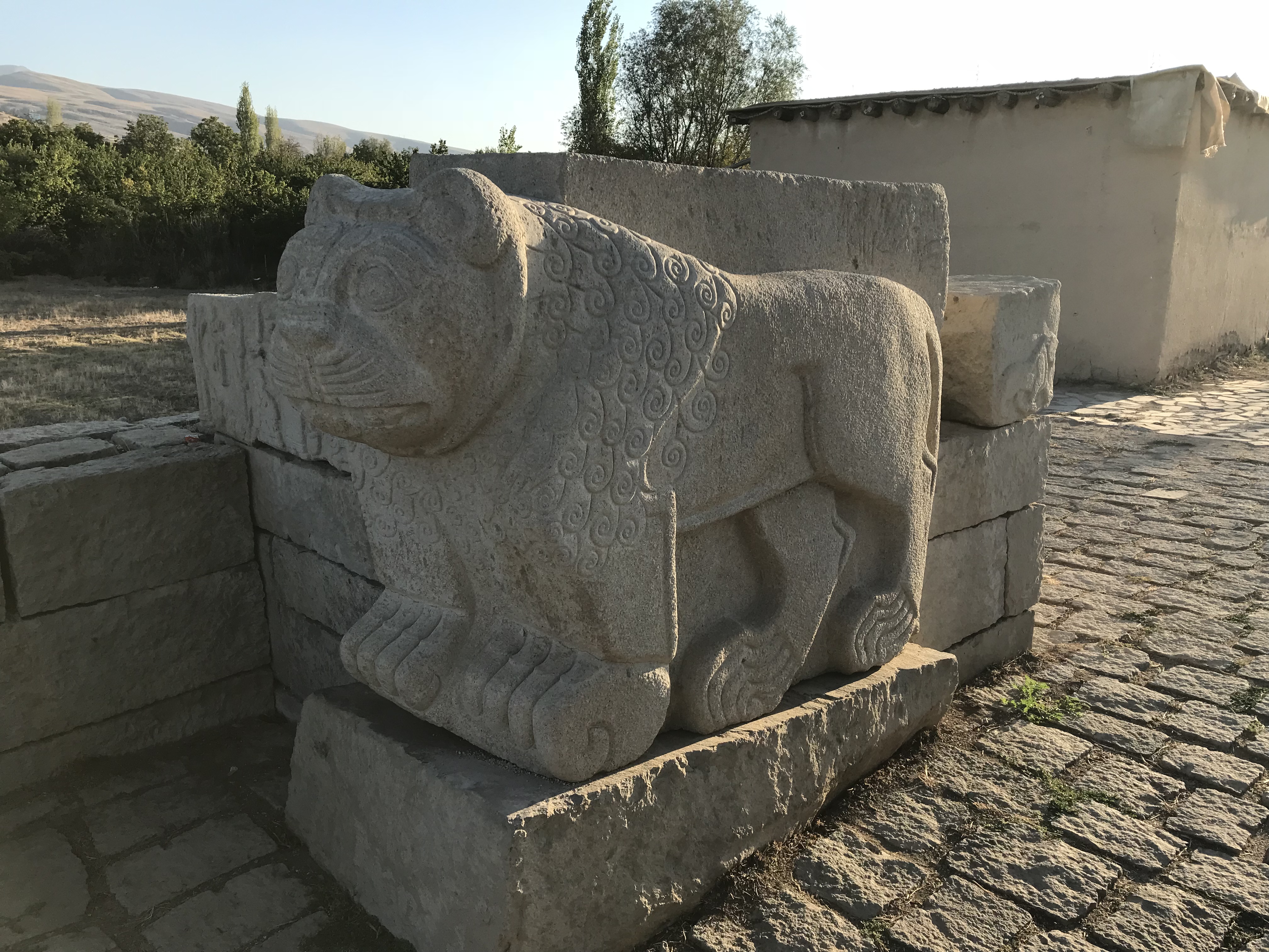
The Maraş lion is a Late Hittite sculpture of a lion with a hieroglyphic inscription. It was discovered on the citadel of Kahramanmaraş (formerly Maraş) in 1883 and is displayed in the Kahramanmaraş Archaeological Museum. John David Hawkins assigned it the name ''Maraş 1'', while Winfried Orthmann used ''Maraş B/1''. Massive sculptures of lions are a recurrent feature of Hittite art, especially in the Neo-Hittite period. Discovery The lion statue was discovered in 1883 by Carl Humann and Otto Puchstein on their Anatolian travels in the castle of ''Marʿasch'' (modern Kahramanmaraş). A second, uninscribed lion which was slightly larger was left ''in situ'' by one of the fortress gates, while the inscribed lion was taken to the Archaeological Museum in Istanbul. A plaster cast was produced for the Berlin Museums. After many years, the lion was transferred to the Kahramanmaraş Archaeological Museum on 30 August 2013, at the initiative of the Ministry of Culture and ... [...More Info...] [...Related Items...] OR: [Wikipedia] [Google] [Baidu] |
Kahramanmaraş Archaeology Museum
Kahramanmaraş Archaeology Museum is a museum in Kahramanmaraş, Turkey. The museum is on Azerbeycan Boulevard in Kahramanmaraş. Its geographic coordinates are . History According to the Ministry of Culture and Tourism, even in the Medieval Age during the Dulkadir Beylik there was a primitive museum of steles in the Kahramanmaraş Castle During the Republican Age the first museum was established in 1947. In 1961 the museum was transferred to the castle and in 1975 to its present building. Exhibited items The items in the museum are from paleolithic, neolithic, chalcolithic, Bronze, Iron, Hellenistic, Roman, Byzantine Ages. The items are exhibited in seven specialized halls; a skeleton of an Anatolian elephant (now extinct from Anatolia), Direkli excavations, Domuztepe Domuztepe (meaning ''Pig Hill'' in Turkish) was a large, Late Neolithic settlement in south east Turkey, occupied at least as early as c.6,200BC and abandoned c.5,450BC. The site is located to the south ... [...More Info...] [...Related Items...] OR: [Wikipedia] [Google] [Baidu] |
Archaeological Discoveries In Turkey
Archaeology or archeology is the scientific study of human activity through the recovery and analysis of material culture. The archaeological record consists of artifacts, architecture, biofacts or ecofacts, sites, and cultural landscapes. Archaeology can be considered both a social science and a branch of the humanities. It is usually considered an independent academic discipline, but may also be classified as part of anthropology (in North America – the four-field approach), history or geography. Archaeologists study human prehistory and history, from the development of the first stone tools at Lomekwi in East Africa 3.3 million years ago up until recent decades. Archaeology is distinct from palaeontology, which is the study of fossil remains. Archaeology is particularly important for learning about prehistoric societies, for which, by definition, there are no written records. Prehistory includes over 99% of the human past, from the Paleolithic until the advent o ... [...More Info...] [...Related Items...] OR: [Wikipedia] [Google] [Baidu] |
Luwian Inscriptions
The Luwians were a group of Anatolian peoples who lived in central, western, and southern Anatolia, in present-day Turkey, during the Bronze Age and the Iron Age. They spoke the Luwian language, an Indo-European language of the Anatolian sub-family, which was written in cuneiform imported from Mesopotamia, and a unique native hieroglyphic script, which was sometimes used by the linguistically-related Hittites as well. Luwian was probably spoken over a larger geographic region than Hittite. History Origins There is no consensus on the origins of the Luwians. Armenia,Reich, David (2018), ''Who We Are and How We Got Here: Ancient DNA and the New Science of the Human Past'', Knopf Doubleday Publishing Group Iran, the Balkans, the Pontic–Caspian steppe and Central Asia have all been suggested. Their route into Anatolia is unknown. Linguist Craig Melchert suggested they were related to the Demirci Hüyük culture, implying entry into Anatolia from ancient Thrace circa 3000 ... [...More Info...] [...Related Items...] OR: [Wikipedia] [Google] [Baidu] |
.jpg)


.jpg)