|
Kangsabati
Kangsabati River (Pron:) (also variously known as the Kãsai and Cossye) rises from the Chota Nagpur plateau in the state of West Bengal, India and passes through the districts of Purulia, Bankura, Paschim Medinipur and Purba Medinipur in West Bengal before draining in the Bay of Bengal. Course The river's headwaters are on the Chota Nagpur Plateau in Purulia district, near the city of Jhalda, where the smaller rivers Saharjhor and Girgiri join together. From there, it passes through Bankura district, passing the towns of Purulia, Khatra and Ranibandh. At Binpur it is joined by the Bhairabbanki, and at Keshpur the river splits into two. The northern branch flows through the Daspur area, where it is known as the Palarpai. This branch eventually flows into the Rupnarayan River. The other branch, still called the Kangsabati, flows in a south-easterly direction. Eventually, it meets the Keleghai River, and the junction of the two forms the Haldi River, which flows into the Ba ... [...More Info...] [...Related Items...] OR: [Wikipedia] [Google] [Baidu] |
Khatra
Khatra is a census town in the Khatra community development block in the Khatra subdivision of the Bankura district in the state of West Bengal, India. It is the headquarters of the Khatra subdivision. Geography Location Khatra is in the south-west of Bankura District, which is itself to the west of the southern part of West Bengal. Khatra is located at , and has an average elevation of . The Kangsabati irrigation project partly covers the Khatra sub-division, with the Kangsabati dam being important for farming in the districts of Bankura and Paschim Medinipur. Area overview The map alongside shows the Khatra subdivision of Bankura district. Physiographically, this area is having uneven lands with hard rocks. In the Khatra CD block area there are some low hills. The Kangsabati project reservoir is prominently visible in the map. The subdued patches of shaded area in the map show forested areas It is an almost fully rural area. Note: The map alongside presents some of th ... [...More Info...] [...Related Items...] OR: [Wikipedia] [Google] [Baidu] |
Midnapore
Medinipur or Midnapore (Pron: med̪iːniːpur) is a city known for its history in the Indian state of West Bengal. It is the headquarters of the West Medinipur district. It is situated on the banks of the Kangsabati River (variously known as ''Kasai'' and ''Cossye''). The Urban Agglomeration of Midnapore consists of the city proper, Mohanpur, Keranichoti and Khayerullachak. Etymology The English name Midnapore is a corruption of the original name of the town which was Madanipur. It was named after Haji Mustafa Madani, a 17th-century Bengali Muslim scholar who was gifted tax-free land in the present area in addition to an estate there which included a mosque. Madani is the ancestor of Mohammad Abu Bakr Siddique of Furfura Sharif. According to Sri Hari Sadhan Das, the city got its name from Medinikar, the founder of the city in 1238, who was the son of Prankara, the feudal king of Gondichadesh (now Odisha). He was also the writer of "Medinikosh". Hara Prasad Shastri thinks that t ... [...More Info...] [...Related Items...] OR: [Wikipedia] [Google] [Baidu] |
Mukutmanipur
Mukutmanipur is a village in Bankura district of West Bengal, India. It is located at the confluence of the Kangsabati and Kumari rivers close to the Jharkhand border. Geography Area overview The map alongside shows the Khatra subdivision of Bankura district. Physiographically, this area is having uneven lands with hard rocks. In the Khatra CD block area there are some low hills. The Kangsabati project reservoir is prominently visible in the map. The subdued patches of shaded area in the map show forested areas It is an almost fully rural area. Note: The map alongside presents some of the notable locations in the subdivision. All places marked in the map are linked in the larger full screen map. Kangsabati project In 1956, a giant water dam reservoir was planned at Mukutmanipur, bout 12 km from Khatra town in the district of Bankura, WB under a big vision mooted by the then CM of Bengal Dr Bidhan Ch. Roy. The Mukutmanipur dam was planned to provide major irrigation ... [...More Info...] [...Related Items...] OR: [Wikipedia] [Google] [Baidu] |
Bankura District
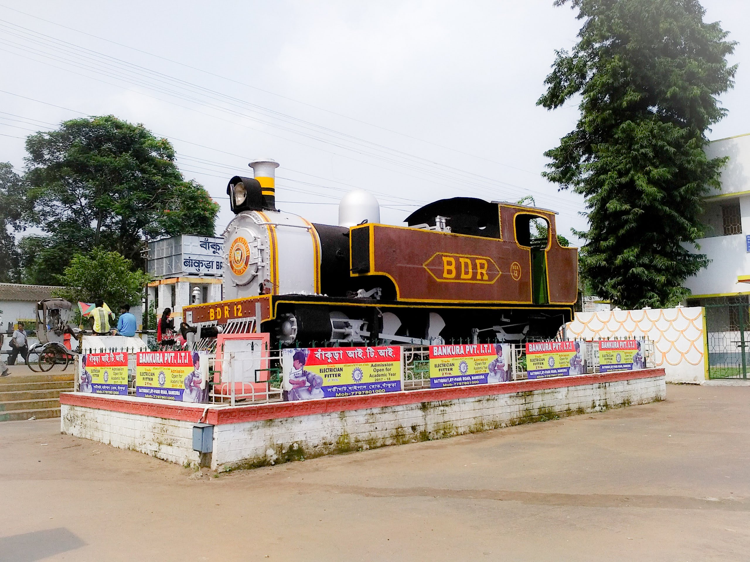
Bankura district (Pron: bãkuɽa) is an administrative unit in the Indian state of West Bengal. It is part of Medinipur division—one of the five administrative divisions of West Bengal. Bankura district is surrounded by Purba Bardhaman district and Paschim Bardhaman district in the north, Purulia district in the west, Jhargram district and Paschim Medinipur district in the south, and some part of Hooghly district in the east. Damodar River flows in the northern part of Bankura district and separates it with the major part of Burdwan district. The district head quarter is located in Bankura town. The district has been described as the "connecting link between the plains of Bengal on the east and Chota Nagpur plateau on the west." The areas to the east and north-east are low-lying alluvial plains while to the west the surface gradually rises, giving way to undulating country, interspersed with rocky hillocks.O’Malley, L.S.S., ICS, ''Bankura'', Bengal District Gazetteers, pp. ... [...More Info...] [...Related Items...] OR: [Wikipedia] [Google] [Baidu] |
Mukutmanipur Dam
The Mukutmanipur Dam is a dam in Khatra subdivision of Bankura district in the state of West Bengal, India. The Kangsabati River (also variously known as the Kasai and Cossye) rises from the Chota Nagpur Plateau in West Bengal, and passes through the districts of Purulia, Bankura and Paschim Medinipur district in West Bengal before draining in the Bay of Bengal, from Mukutmonipur. It is the second longest earthen dam in India (11.27 kms), next only to Sri Ram Sagar Project (SRSP) Telangana, with a gross storage capacity of 1.04 cubic kms (36.73 tmcft). It is the only dam that has been designated as 'Dam of national importance' from West Bengal by Central Water Commission of Government of India. The road over the dam is in length. In the middle, there is a small hillock called Paresnath hill where several statues of Jain and Hindu deities are kept in the open air. These statues were recovered during digging while the dam was built. There is another Jain statue lying at the bottom ... [...More Info...] [...Related Items...] OR: [Wikipedia] [Google] [Baidu] |
Purulia
Purulia is a city and a municipality in the Indian state of West Bengal. It is the headquarters of the Purulia district. It is located on the north of the Kangsabati River. Geography Location Purulia is located at . It has an average elevation of 228 metres (748 feet). Area overview Purulia district forms the lowest step of the Chota Nagpur Plateau. The general scenario is undulating land with scattered hills. Purulia Sadar subdivision covers the central portion of the district. 83.80% of the population of the subdivision lives in rural areas. The map alongside shows some urbanization around Purulia city. 18.58% of the population, the highest among the subdivisions of the district, lives in urban areas. There are 4 census towns in the subdivision. The Kangsabati (locally called Kansai) flows through the subdivision. The subdivision has old temples, some of them belonging to the 11th century or earlier. The focus is on education - the university, the sainik schoo ... [...More Info...] [...Related Items...] OR: [Wikipedia] [Google] [Baidu] |
Ranibandh
Ranibandh is a village in the Ranibandh CD block in the Khatra subdivision of the Bankura district in the Indian state of West Bengal. The Early Medieval History Maniklal Sinha, in his book, ''Paschim Rahr Tatha Bankura Sanskriti'' mention that like other places of Rarh, Ranibandh is also a nodal point of Jainism. Chittaranjan Dasgupta also noted that surrounding region involved in trade of metal—primarily iron and copper and served as a hinterland to the port of Tamralipta. Geography Location Ranibandh is located at . Area overview The map alongside shows the Khatra subdivision of Bankura district. Physiographically, this area is having uneven lands with hard rocks. In the Khatra CD block area there are some low hills. The Kangsabati project reservoir is prominently visible in the map. The subdued patches of shaded area in the map show forested areas. It is an almost fully rural area. Note: The map alongside presents some of the notable locations in the subdivision. All ... [...More Info...] [...Related Items...] OR: [Wikipedia] [Google] [Baidu] |
Keleghai River
Keleghai River originates at Baminigram, near Dudhkundi, under Sankrail police station of Jhargram district in the Indian state of West Bengal. It flows past Keshiari, Narayangarh, Sabang and Patashpur to join the Kangsabati at Dheu bhanga under Moyna police station of Purba Medinipur district. The combined stream is called Haldi. It is long. The steep slope of the river in Guptamani and Sankrail causes floods. The river has been so named by the Lodhas. See also *List of rivers of India *Rivers of India The rivers in India play an important role in the lives of its people. They provide potable water, cheap transportation, electricity, and the livelihood for many people nationwide. This easily explains why nearly all the major cities of India are l ... References Rivers of West Bengal Rivers of India {{India-river-stub ... [...More Info...] [...Related Items...] OR: [Wikipedia] [Google] [Baidu] |
Kharagpur
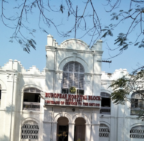
Kharagpur () is a planned urban agglomeration and a major industrial city in Paschim Medinipur district of West Bengal, India. It is the headquarters of the Kharagpur subdivision. It is the largest, most populated, multicultural and cosmopolitan city of the district.It is located 120 kms west of state capital Kolkata and 1300 kms south east of national capital New Delhi. The first Indian Institute of Technology (IIT Kharagpur), one of the Institutes of National Importance, was founded in Kharagpur in May 1950. It has one of the largest railway workshops in India, and the fourth longest railway platform in the world (1072.5 m). Also it is the headquarters of the Kharagpur Division of South Eastern Railway. History Kharagpur received its name from the twelfth king of the Mallabhum dynasty, Kharga Malla, when he conquered it. Kharagpur was a part of the Hijli Kingdom and ruled by Hindu Odia rulers as a feudatory under Gajapati Kings of Odisha. Historians claim that in th ... [...More Info...] [...Related Items...] OR: [Wikipedia] [Google] [Baidu] |
West Bengal
West Bengal (, Bengali: ''Poshchim Bongo'', , abbr. WB) is a state in the eastern portion of India. It is situated along the Bay of Bengal, along with a population of over 91 million inhabitants within an area of . West Bengal is the fourth-most populous and thirteenth-largest state by area in India, as well as the eighth-most populous country subdivision of the world. As a part of the Bengal region of the Indian subcontinent, it borders Bangladesh in the east, and Nepal and Bhutan in the north. It also borders the Indian states of Odisha, Jharkhand, Bihar, Sikkim and Assam. The state capital is Kolkata, the third-largest metropolis, and seventh largest city by population in India. West Bengal includes the Darjeeling Himalayan hill region, the Ganges delta, the Rarh region, the coastal Sundarbans and the Bay of Bengal. The state's main ethnic group are the Bengalis, with the Bengali Hindus forming the demographic majority. The area's early history featured a succession ... [...More Info...] [...Related Items...] OR: [Wikipedia] [Google] [Baidu] |
Paschim Medinipur
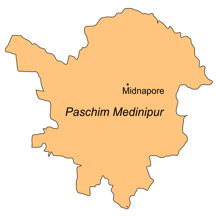
Paschim Medinipur district or West Midnapore district (also known as Midnapore West) is one of the districts of the state of West Bengal, India. It was formed on 1 January 2002 after the Partition of Midnapore into Paschim Medinipur and Purba Medinipur. On 4 April 2017, the Jhargram subdivision was converted into a district. GDP of West Midnapore district is 12 billion USD. Geography Paschim Medinipur, located in the south-western part of West Bengal, was created with the partition of the erstwhile Midnapore district, then the largest district of India, on 1 January 2002. It ranks second in terms of geographical area (9,295.28 km2) amongst the districts of the state, next to South 24-Parganas (9,960 km2). It ranks third in terms of rural population (4.58 million) following South 24-Parganas (5.82 million) and Murshidabad (5.13 million). It ranked fourth in terms of percentage of tribal population (14.87) following Jalpaiguri (18.87), Purulia (18.27) an ... [...More Info...] [...Related Items...] OR: [Wikipedia] [Google] [Baidu] |
Paschim Medinipur District
Paschim Medinipur district or West Midnapore district (also known as Midnapore West) is one of the districts of the state of West Bengal, India. It was formed on 1 January 2002 after the Partition of Midnapore into Paschim Medinipur and Purba Medinipur. On 4 April 2017, the Jhargram subdivision was converted into a district. GDP of West Midnapore district is 12 billion USD. Geography Paschim Medinipur, located in the south-western part of West Bengal, was created with the partition of the erstwhile Midnapore district, then the largest district of India, on 1 January 2002. It ranks second in terms of geographical area (9,295.28 km2) amongst the districts of the state, next to South 24-Parganas (9,960 km2). It ranks third in terms of rural population (4.58 million) following South 24-Parganas (5.82 million) and Murshidabad (5.13 million). It ranked fourth in terms of percentage of tribal population (14.87) following Jalpaiguri (18.87), Purulia (18.27) an ... [...More Info...] [...Related Items...] OR: [Wikipedia] [Google] [Baidu] |


