|
Kajichō, Tokyo
is a district of Chiyoda, Tokyo, Japan. It consists of Kajichō 1-chōme and Kajichō 2-chōme. This article also explains about , which today only has Kanda-Kajichō 3-chōme. As of April 1, 2007, the total population of the two districts is 371. These districts are located on the northeastern part of Chiyoda. The combined area of Kajichō and Kanda-Kajichō borders Kanda-Sudachō to the north, Kanda-Higashimatsushitachō, Kanda-Tomiyamachō, Kanda-Konyachō, Kanda-Kitanorimonochō, Kanda-Nishifukudachō and Kanda-Mikurachō to the east, Nihonbashi-Muromachi, Nihonbashi-Hongokuchō and Nihonbashi-Honchō to the south, and Uchi-Kanda and Kanda-Tsukasachō to the west. Modernization of addressing system has already been enforced in Kajichō 1-chōme and Kajichō 2-chōme but not yet in Kanda-Kajichō 3-chōme. Formerly, Kajichō 1-chōme and Kajichō 2-chōme were "Kanda-Kajichō 1-chōme" and "Kanda-Kajichō 2-chōme," respectively. In general, a districts with "Kanda-" prefix re ... [...More Info...] [...Related Items...] OR: [Wikipedia] [Google] [Baidu] |
Chiyoda, Tokyo
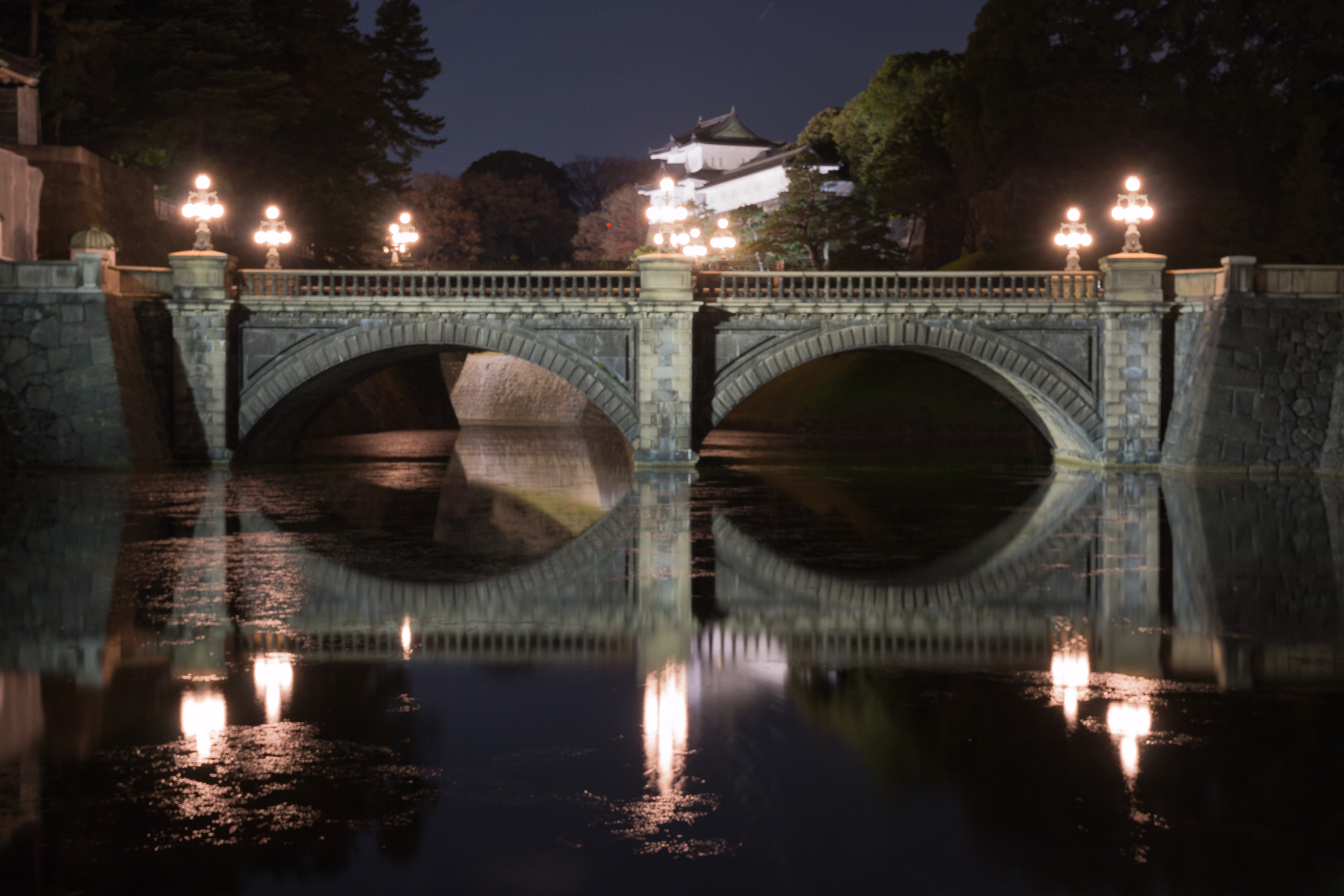
is a special ward located in central Tokyo, Japan. It is known as Chiyoda City in English.Profile ." ''City of Chiyoda''. Retrieved on December 28, 2008. It was formed in 1947 as a merger of and wards following 's transformation into Tokyo Metropolis. The modern Chiyoda ward exhibits contrasting |
Japan
Japan ( ja, 日本, or , and formally , ''Nihonkoku'') is an island country in East Asia. It is situated in the northwest Pacific Ocean, and is bordered on the west by the Sea of Japan, while extending from the Sea of Okhotsk in the north toward the East China Sea, Philippine Sea, and Taiwan in the south. Japan is a part of the Ring of Fire, and spans Japanese archipelago, an archipelago of List of islands of Japan, 6852 islands covering ; the five main islands are Hokkaido, Honshu (the "mainland"), Shikoku, Kyushu, and Okinawa Island, Okinawa. Tokyo is the Capital of Japan, nation's capital and largest city, followed by Yokohama, Osaka, Nagoya, Sapporo, Fukuoka, Kobe, and Kyoto. Japan is the List of countries and dependencies by population, eleventh most populous country in the world, as well as one of the List of countries and dependencies by population density, most densely populated and Urbanization by country, urbanized. About three-fourths of Geography of Japan, the c ... [...More Info...] [...Related Items...] OR: [Wikipedia] [Google] [Baidu] |
Japanese Addressing System
The Japanese addressing system is used to identify a specific location in Japan. When written in Japanese characters, addresses start with the largest geographical entity and proceed to the most specific one. When written in Latin characters, addresses follow the convention used by most Western addresses and start with the smallest geographic entity (typically a house number) and proceed to the largest. The Japanese system is complex and idiosyncratic, the product of the natural growth of urban areas, as opposed to the systems used in cities that are laid out as grids and divided into quadrants or districts. Address parts Japanese addresses begin with the largest division of the country, the prefecture. Most of these are called ''ken'' (県), but there are also three other special prefecture designations: ''to'' (都) for Tokyo, ''dō'' (道) for ''Hokkaidō'' and ''fu'' (府) for the two urban prefectures of Osaka and Kyoto. Following the prefecture is the municipality. For ... [...More Info...] [...Related Items...] OR: [Wikipedia] [Google] [Baidu] |
Uchi-Kanda
is a district in Chiyoda, Tokyo, Japan. As of March 1, 2008, its population is 1,277. Located in the northern part of Chiyoda, the Uchi-Kanda district borders Kanda-Mitoshirochō, Kanda-Tsukasamachi, Kanda-Tachō and Kanda-Kajichō to the north, Kajichō to the east, Nihonbashi-Hongokuchō, Chūō to the southeast, Ōtemachi to the south, and Kanda-Nishikichō to the west. Today, Uchi-Kanda is a commercial neighborhood with a number of office buildings and stores. The Japanese division of American Megatrends has its offices in Uchi-Kanda. Education operates public elementary and junior high schools. Chiyoda Elementary School (千代田小学校) is the zoned elementary school for Uchi-Kanda 1-3 chōme. There is a freedom of choice system for junior high schools in Chiyoda Ward, and so there are no specific junior high school zones. References {{coord, 35.6910, N, 139.7650, E, source:wikidata, display=title Districts of Chiyoda, Tokyo Kanda, Tokyo ... [...More Info...] [...Related Items...] OR: [Wikipedia] [Google] [Baidu] |
Kanda Station (Tokyo)
is a railway station in Chiyoda, Tokyo, Japan. East Japan Railway Company (JR East) and Tokyo Metro operate individual portions of the station. Lines * JR East ** Keihin-Tōhoku Line ** Yamanote Line ** Chūō Line (Rapid) * Tokyo Metro ** Tokyo Metro Ginza Line Station layout Kanda consists of two separate stations that form an interchange. The elevated station is operated by JR East and the underground station is operated by the Tokyo Metro. Although they are an interchange, passengers must pass through ticket barriers and pay separate fares to switch between services. JR East station The JR East station is the older of the two stations and opened in 1919. It is situated on an elevated viaduct and has three island platforms serving six tracks.Kanda station map ''JR East'' Retrieved 19 January 2009 The platforms are numbere ... [...More Info...] [...Related Items...] OR: [Wikipedia] [Google] [Baidu] |
Chōme
The Japanese addressing system is used to identify a specific location in Japan. When written in Japanese characters, addresses start with the largest geographical entity and proceed to the most specific one. When written in Latin characters, addresses follow the convention used by most Western addresses and start with the smallest geographic entity (typically a house number) and proceed to the largest. The Japanese system is complex and idiosyncratic, the product of the natural growth of urban areas, as opposed to the systems used in cities that are laid out as grids and divided into quadrants or districts. Address parts Japanese addresses begin with the largest division of the country, the prefecture. Most of these are called ''ken'' (県), but there are also three other special prefecture designations: ''to'' (都) for Tokyo, ''dō'' (道) for ''Hokkaidō'' and ''fu'' (府) for the two urban prefectures of Osaka and Kyoto. Following the prefecture is the municipality. For ... [...More Info...] [...Related Items...] OR: [Wikipedia] [Google] [Baidu] |


