|
Kaechon Airport
Kaechon Airport is an airport near Kaechon, Pyongannam-do, North Korea North Korea, officially the Democratic People's Republic of Korea (DPRK), is a country in East Asia. It constitutes the northern half of the Korea, Korean Peninsula and shares borders with China and Russia to the north, at the Yalu River, Y .... Facilities The airfield has a single concrete runway 05/23 measuring 8180 x 190 feet (2493 x 58 m). Landings database page "Landings.Com", accessed 12 Aug 2010, "Air Bases - Kaechon", accessed 12 Aug ... [...More Info...] [...Related Items...] OR: [Wikipedia] [Google] [Baidu] |
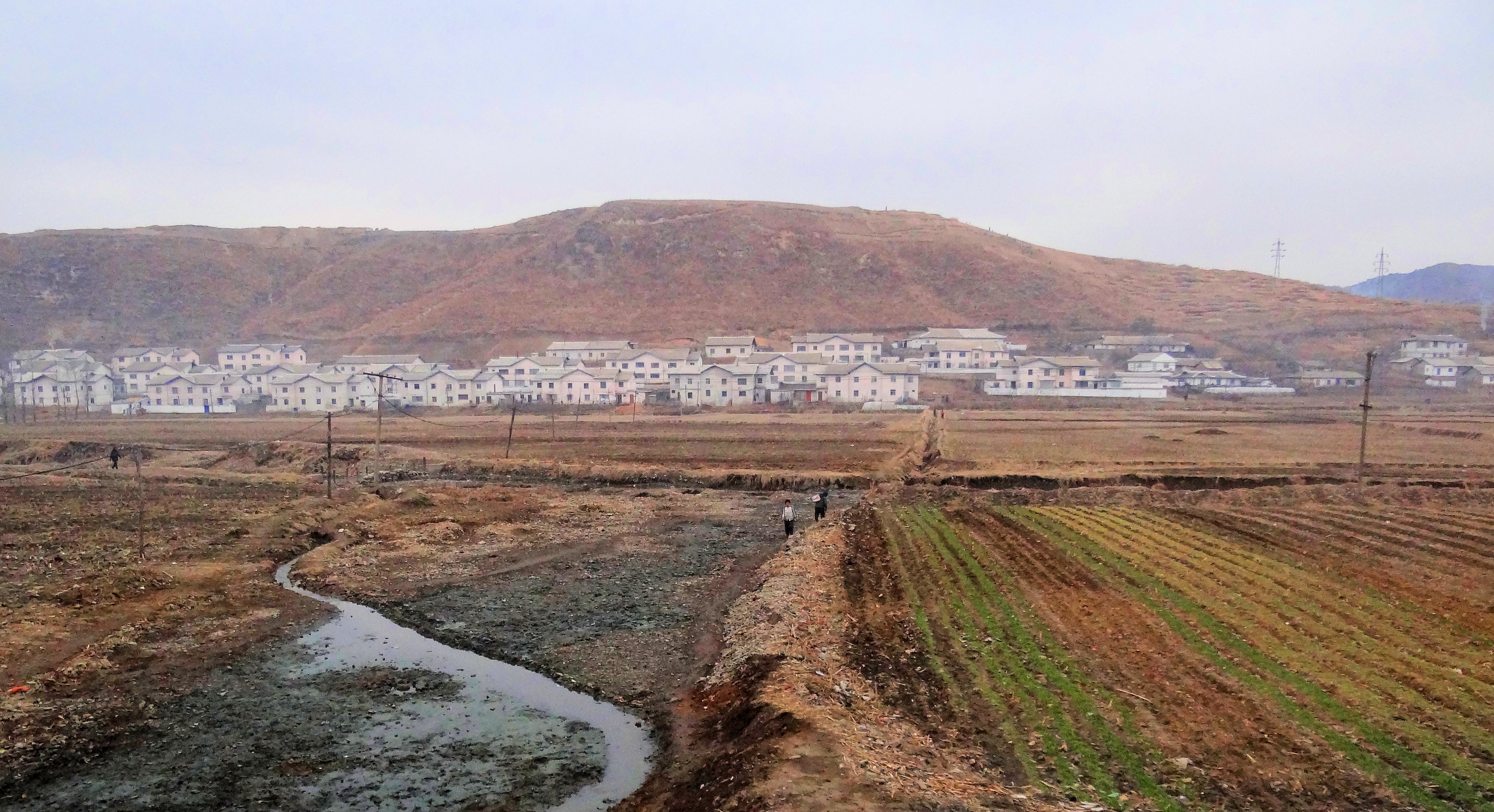
Kaechon
Kaech'ŏn or Kaechon ( , ; Hangul: , Hanja: ) is a city in South P'yŏngan province, North Korea. Geography The Myohyangsan, Changansan, Ch'ŏnsŏngsan, and Ch'ŏngryongsan mountain ranges come together in Kaech'ŏn. The highest peak is Paekt'apsan. The most important rivers are the Ch'ŏngch'ŏn River and the Taedong River. The area of the city is 61% forested. Administrative divisions Kaech'ŏn-si is divided into 26 ''tong'' (neighbourhoods) and 11 '' ri'' (villages): Economy Water resources are abundant, and several reservoirs are located in Kaech'ŏn. Agriculture has been extensively developed, including livestock and fruit orchards. Machining and metalworking are the dominant industries, mining has also become more prominent. Transportation Kaech'ŏn is served by the Korean State Railway's Kaech'ŏn Line and the Manp'o Line trunk lines, as well as the Choyang Colliery Line and Chunhyŏk Line secondary lines. Tourism Tourist sites in Kaech'ŏn include Songam C ... [...More Info...] [...Related Items...] OR: [Wikipedia] [Google] [Baidu] |
North Korea
North Korea, officially the Democratic People's Republic of Korea (DPRK), is a country in East Asia. It constitutes the northern half of the Korea, Korean Peninsula and shares borders with China and Russia to the north, at the Yalu River, Yalu (Amnok) and Tumen River, Tumen rivers, and South Korea to the south at the Korean Demilitarized Zone. North Korea's border with South Korea is a disputed border as both countries claim the entirety of the Korean Peninsula. The country's western border is formed by the Yellow Sea, while its eastern border is defined by the Sea of Japan. North Korea, like South Korea, its southern counterpart, claims to be the legitimate government of the entire peninsula and List of islands of North Korea, adjacent islands. Pyongyang is the capital and largest city. In 1910, Korean Empire, Korea was Korea under Japanese rule, annexed by the Empire of Japan. In 1945, after the Surrender of Japan, Japanese surrender at the End of World War II in Asia, end ... [...More Info...] [...Related Items...] OR: [Wikipedia] [Google] [Baidu] |
Airport
An airport is an aerodrome with extended facilities, mostly for commercial air transport. Airports usually consists of a landing area, which comprises an aerially accessible open space including at least one operationally active surface such as a runway for a plane to take off and to land or a helipad, and often includes adjacent utility buildings such as control towers, hangars and terminals, to maintain and monitor aircraft. Larger airports may have airport aprons, taxiway bridges, air traffic control centres, passenger facilities such as restaurants and lounges, and emergency services. In some countries, the US in particular, airports also typically have one or more fixed-base operators, serving general aviation. Operating airports is extremely complicated, with a complex system of aircraft support services, passenger services, and aircraft control services contained within the operation. Thus airports can be major employers, as well as important hubs for tourism ... [...More Info...] [...Related Items...] OR: [Wikipedia] [Google] [Baidu] |
South Pyongan
South Pyongan Province (Phyŏngannamdo; ) is a province of North Korea. The province was formed in 1896 from the southern half of the former Pyongan Province, remained a province of Korea until 1945, then became a province of North Korea. Its capital is Pyongsong. Geography The province is bordered by North Pyongan and Chagang Provinces to the north, South Hamgyong and Kangwon Provinces to the east and southeast and North Hwanghae Province and Pyongyang to the south. The Yellow Sea and Korea Bay are located to the west. Administrative divisions South P'yŏngan is divided into 1 special city (''tŭkpyŏlsi''); 5 cities (''si''); 16 counties (''kun''); and 3 districts (1 ''ku'' and 2 ''chigu''). Its administrative divisions are: Cities * Nampo Special City (남포특별시/; created in 2010) * Pyongsong (평성시/; the provincial capital, established December 1969) * Anju (안주시/; established August 1987) * Kaechon (개천시/; established August 1990) * Sunchon-si (순� ... [...More Info...] [...Related Items...] OR: [Wikipedia] [Google] [Baidu] |
Airports In North Korea
This is a list of airports in North Korea. North Korea is a country in Northeast Asia, which may have as many as 78 usable airfields, , Federal Research Service, Library of Congress, May 2005. although the state's secrecy makes it difficult to ascertain their number and condition with certainty. The state carrier, Air Koryo, joined the International Air Transport Association (IATA) in the late 1990s, and North Korea has proclaimed a program to upgrade several airports to international standards. However, with the exception of Pyongyang Sunan International Airport and a few that receive irregular service by Air Koryo, commercial aviation in North Korea is practically non-existent and most airfields appear to be military use.GlobalSecurity.org "Air Bases - North Korea", accessed 12 August 2010. ... [...More Info...] [...Related Items...] OR: [Wikipedia] [Google] [Baidu] |


