|
Kabaw Fault
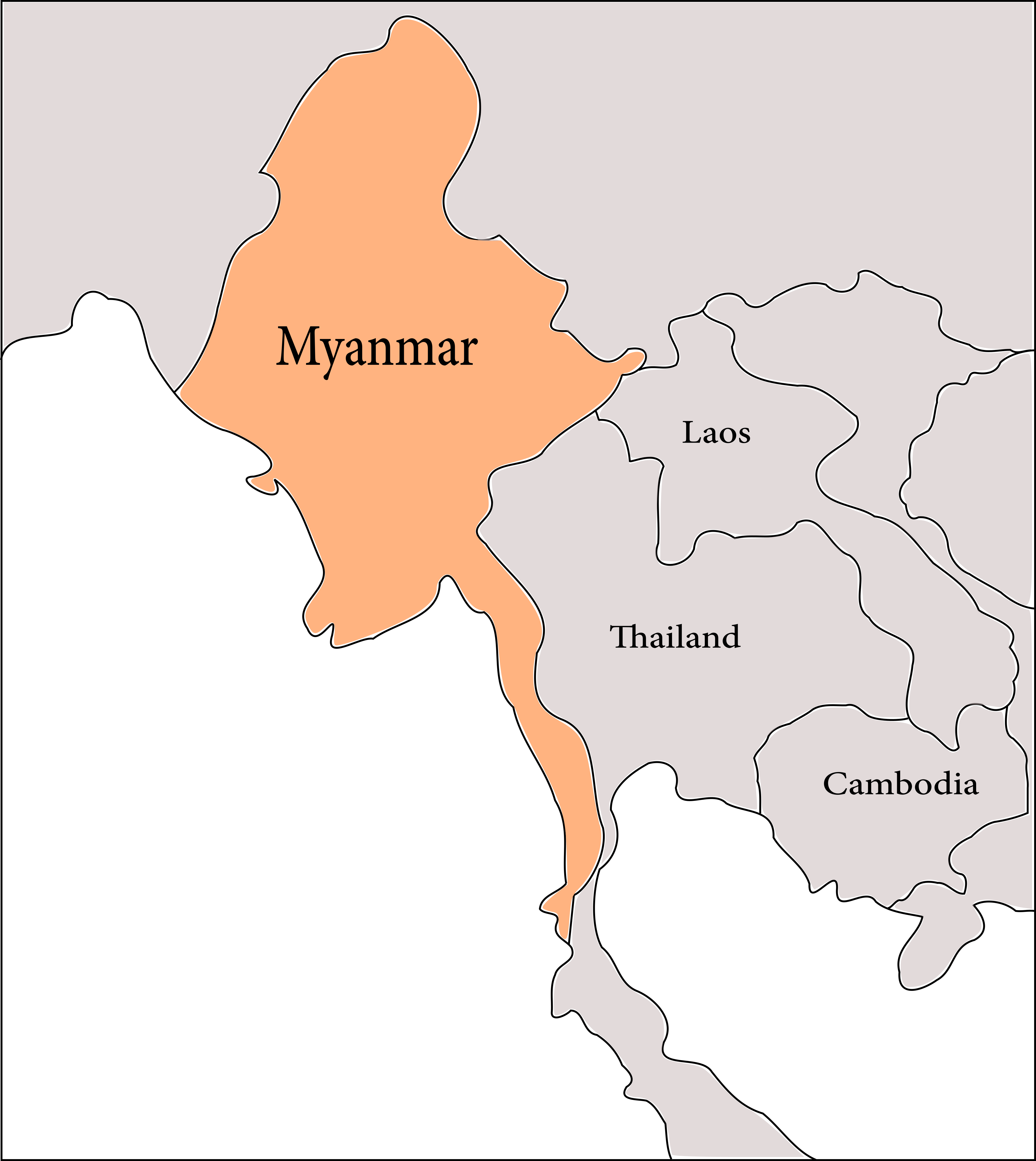
Kabaw Fault is a fault in Myanmar. It was among those that ruptured during the 1762 Arakan earthquake. Location Kabaw Fault lies roughly parallel with the Indo-Burmese border near Mizoram at the foothills of the mountains separating the plains of central Myanmar with the Arakan Mountains The Arakan Mountains ( my, ရခိုင်ရိုးမ), also known as the Rakhine Yoma, are a mountain range in western Myanmar, between the coast of Rakhine State and the Central Myanmar Basin, in which flows the Irrawaddy River. It is th ..., extending due south roughly 300 km. References Geology of Myanmar Seismic faults {{tectonics-stub ... [...More Info...] [...Related Items...] OR: [Wikipedia] [Google] [Baidu] |
Fault (geology)
In geology, a fault is a planar fracture or discontinuity in a volume of rock across which there has been significant displacement as a result of rock-mass movements. Large faults within Earth's crust result from the action of plate tectonic forces, with the largest forming the boundaries between the plates, such as the megathrust faults of subduction zones or transform faults. Energy release associated with rapid movement on active faults is the cause of most earthquakes. Faults may also displace slowly, by aseismic creep. A ''fault plane'' is the plane that represents the fracture surface of a fault. A ''fault trace'' or ''fault line'' is a place where the fault can be seen or mapped on the surface. A fault trace is also the line commonly plotted on geologic maps to represent a fault. A ''fault zone'' is a cluster of parallel faults. However, the term is also used for the zone of crushed rock along a single fault. Prolonged motion along closely spaced faults can blur the ... [...More Info...] [...Related Items...] OR: [Wikipedia] [Google] [Baidu] |
1762 Arakan Earthquake
The 1762 Arakan earthquake occurred at about 17:00 local time on 2 April, with an epicentre somewhere on the coast from Chittagong (modern Bangladesh) to Arakan in modern Burma. It had an estimated magnitude of as high as 8.8 on the moment magnitude scale and a maximum estimated intensity of XI (''Extreme'') on the Mercalli intensity scale. It triggered a local tsunami in the Bay of Bengal and caused at least 200 deaths. The earthquake was associated with major areas of both uplift and subsidence. It is also associated with a change in course of the Brahmaputra River to from east of Dhaka (Old Brahmaputra River) to to the west via the Jamuna River. Tectonic setting The eastern part of Bangladesh and the southwestern part of Burma lie along the highly oblique convergent boundary between the Indian Plate and the Eurasian Plate. The degree to which this deformation is partitioned into zones of thrust tectonics (accommodating that part of the motion perpendicular to the boundary) and ... [...More Info...] [...Related Items...] OR: [Wikipedia] [Google] [Baidu] |
Mizoram
Mizoram () is a state in Northeast India, with Aizawl as its seat of government and capital city. The name of the state is derived from "Mizo people, Mizo", the endonym, self-described name of the native inhabitants, and "Ram", which in the Mizo language means "land." Thus "Mizo-ram" means "land of the Mizos". Within India's northeast region, it is the southernmost landlocked state, sharing borders with three of the Seven Sister States, namely Tripura, Assam and Manipur. The state also shares a border with the neighbouring countries of Bangladesh and Myanmar. Like several other northeastern states of India, Mizoram was previously part of Assam until 1972, when it was carved out as a Union Territory. In 1986 the Indian Parliament adopted the 53rd amendment of the Indian Constitution, which allowed for the creation of the State of Mizoram on 20 February 1987, as India's 23rd state. According to a 2011 census, in that year Mizoram's population was 1,091,014. It is the list of stat ... [...More Info...] [...Related Items...] OR: [Wikipedia] [Google] [Baidu] |
Arakan Mountains
The Arakan Mountains ( my, ရခိုင်ရိုးမ), also known as the Rakhine Yoma, are a mountain range in western Myanmar, between the coast of Rakhine State and the Central Myanmar Basin, in which flows the Irrawaddy River. It is the most prominent of a series of parallel ridges that arc through Assam, Nagaland, Manipur, Mizoram and Myanmar. The Arakan Mountains run from Cape Negrais in the south in to Manipur, India in the north. They include the Naga Hills, the Chin Hills, and the Patkai range which includes the Lushai Hills. The mountain chain is submerged in the Bay of Bengal for a long stretch and emerges again in the form of the Andaman and Nicobar Islands. Etymology The word ''Arakan'' is derived from the Sanskrit word ''Rakshasa'' (राक्षस), a term used to refer to the inhabitants of the region. Geology and formation The Arakan Mountains and the parallel arcs to the west and east were formed by compression as the Indian Plate collided with the E ... [...More Info...] [...Related Items...] OR: [Wikipedia] [Google] [Baidu] |
Geology Of Myanmar
The geology of Myanmar is shaped by dramatic, ongoing tectonic processes controlled by shifting tectonic components as the Indian plate slides northwards and towards Southeast Asia. Myanmar spans across parts of three tectonic plates (the Indian Plate, Burma microplate and Shan Thai Block) separated by north-trending faults. To the west, a highly oblique subduction zone separates the offshore Indian plate from the Burma microplate, which underlies most of the country. In the center-east of Myanmar, a right lateral strike slip fault extends from south to north across more than . These tectonic zones are responsible for large earthquakes in the region. The India-Eurasia plate collision which initiated in the Eocene provides the last geological pieces of Myanmar, and thus Myanmar preserves a more extensive Cenozoic geological record as compared to records of the Mesozoic and Paleozoic eras. Myanmar is physiographically divided into three regions: the Indo-Burman Range, Myanmar Cent ... [...More Info...] [...Related Items...] OR: [Wikipedia] [Google] [Baidu] |

