|
KBEW (AM)
KBEW (1560 AM) is a radio station located in Blue Earth, Minnesota that broadcasts an oldies format. The station is currently owned by Carolyn and Doyle Becker, through licensee Riverfront Broadcasting of Minnesota, Inc. and features programing from CBS News Radio. History Clifford Hedberg, owner of KMRS in Morris, Minnesota, applied for KBEW's original construction permit; in August 1962 the FCC approved the application for a 250-watt daytime-only station. The FCC originally assigned the station the call letters KCLH (for "Clifford LeRoy Hedberg"), but before its first broadcast the call letters were changed to KBEW to reflect many of the communities in Faribault County, Minnesota: Kiester, Blue Earth, Bricelyn, Easton, Elmore, Wells, and Winnebago. From its inception KBEW was managed by Clifford Hedberg's son, Paul, who also held an ownership interest in the station. Paul Hedberg had worked for his father at KMRS before gaining further on-air experience at KRIB in Mason C ... [...More Info...] [...Related Items...] OR: [Wikipedia] [Google] [Baidu] |
Blue Earth, Minnesota
Blue Earth is a city in Faribault County, Minnesota, United States, at the confluence of the east and west branches of the Blue Earth River. The population was 3,174 at the 2020 census. It is the county seat of Faribault County. It is home to a statue of the Jolly Green Giant. Additionally, Interstate 90 is centered on Blue Earth, as the east and west construction teams met here in 1978. As a tribute, there is a golden stripe of concrete on the interstate near Blue Earth. This draws an analogy to the golden spike set in the first transcontinental railroad. History Blue Earth was platted in 1856. The city took its name from the Blue Earth River which surrounds the town. The river was given the Dakota name "Mahka-to" (meaning Blue Earth) for the blue-black clay found in the river banks. A post office has been in operation at Blue Earth since 1856. Attractions and community achievements The Jolly Green Giant statue attracts over 14,000 visitors a year. In July 2007, the B ... [...More Info...] [...Related Items...] OR: [Wikipedia] [Google] [Baidu] |
Faribault County, Minnesota
Faribault County () is a county in the U.S. state of Minnesota. As of the 2020 census, the population was 13,921. Its county seat is Blue Earth. History The county was founded in 1855. It was named for Jean-Baptiste Faribault, a settler and French fur trader among the Sioux Indians. Geography Faribault County lies on the south side of Minnesota. Its southern border abuts the north border of the state of Iowa. The Blue Earth River flows northerly through the west-central part of the county; it enters from Iowa as two branches, West Branch and Middle Branch, merging at 5 miles (8 km) into the county. It is joined by East Branch near the city of Blue Earth, thence flows northward into Blue Earth County. The Maple River flows west-northwestward through the upper central part of the county, entering from Freeborn County and exiting to Blue Earth County. The Cobb River also flows through the NE part of the county, from Freeborn to Blue Earth county. The county terrain c ... [...More Info...] [...Related Items...] OR: [Wikipedia] [Google] [Baidu] |
KFSP
*''See also KFAN Sports Radio Network KFSP (1230 AM) is a radio station licensed to Mankato, Minnesota and serving the greater Mankato area and the Minnesota River Valley with a sports format. The station is an affiliate of the regional KFAN Sports Radio Network and Fox Sports Radio. Founded in 1938 as KYSM, KFSP is the oldest radio station in Mankato. The station is owned by Linder Radio Group. It was formerly owned by Clear Channel Communications, which sold its Mankato stations — KYSM, KYSM-FM, and KXLP — to Three Eagles Communications following Clear Channel's 2006 privatization. In September 2007, Three Eagles agreed to sell KYSM and KXLP to Linder Radio Group, a.k.a. Minnesota Valley Broadcasting Co. Linder currently owns KDOG, KTOE, KXAC, KATO-FM and KXLP in the Mankato market. KYSM was a Top 40 station in the 1960s, full service MOR station during the 1970s and 1980s. The station aired a satellite-fed oldies Oldies is a term for musical genres such as po ... [...More Info...] [...Related Items...] OR: [Wikipedia] [Google] [Baidu] |
Assassination Of John F
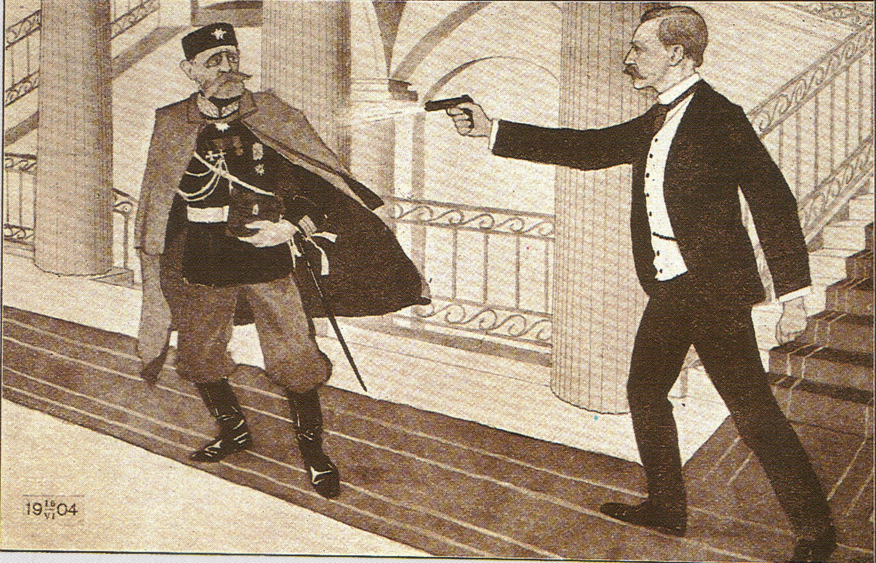
Assassination is the murder of a prominent or important person, such as a head of state, head of government, politician, world leader, member of a royal family or CEO. The murder of a celebrity, activist, or artist, though they may not have a direct role in matters of the state, may also sometimes be considered an assassination. An assassination may be prompted by political and military motives, or done for financial gain, to avenge a grievance, from a desire to acquire fame or notoriety, or because of a military, security, insurgent or secret police group's command to carry out the assassination. Acts of assassination have been performed since ancient times. A person who carries out an assassination is called an assassin or hitman. Etymology The word ''assassin'' may be derived from '' asasiyyin'' (Arabic: أَسَاسِيِّين, ʾasāsiyyīn) from أَسَاس (ʾasās, "foundation, basis") + ـِيّ (-iyy), meaning "people who are faithful to the ... [...More Info...] [...Related Items...] OR: [Wikipedia] [Google] [Baidu] |
Clear-channel Station
A clear-channel station is an AM radio station in North America that has the highest protection from interference from other stations, particularly concerning night-time skywave propagation. The system exists to ensure the viability of cross-country or cross-continent radio service enforced through a series of treaties and statutory laws. Known as Class A stations since 1982, they are occasionally still referred to by their former classifications of Class I-A (the highest classification), Class I-B (the next highest class), or Class I-N (for stations in Alaska too far away to cause interference to the primary clear-channel stations in the lower 48 states). The term "clear-channel" is used most often in the context of North America and the Caribbean, where the concept originated. Since 1941, these stations have been required to maintain an effective radiated power of at least 10,000 watts to retain their status. Nearly all such stations in the United States, Canada and The Baham ... [...More Info...] [...Related Items...] OR: [Wikipedia] [Google] [Baidu] |
WCCO (AM)
WCCO (830 kHz) is a commercial AM radio station in Minneapolis, Minnesota, and owned by Audacy, Inc. Its studios and offices are located on Second Avenue South in Downtown Minneapolis. WCCO features a talk radio format, with frequent newscasts and sports programming. Local hosts are heard most hours of the day and evening, including Chad Hartman, Vineeta Sawkar, Paul Douglas, Jordana Green and Adam Carter, Jason DeRusha, and Henry Lake. Overnight, two syndicated shows are carried: ''Our American Stories with Lee Habeeb'' and '' America in the Morning with John Trout''. World and national news is supplied by CBS News Radio. WCCO is the flagship radio station for the Minnesota Twins baseball team. WCCO is a Class A clear-channel station. With 50,000 watts of power (the maximum permitted) and a nondirectional signal, WCCO reaches much of Minnesota and parts of Wisconsin and Iowa by day, along with a wide area of the Central United States and Central Canada at night. The t ... [...More Info...] [...Related Items...] OR: [Wikipedia] [Google] [Baidu] |
Yellowstone National Park
Yellowstone National Park is an American national park located in the western United States, largely in the northwest corner of Wyoming Wyoming () is a state in the Mountain West subregion of the Western United States. It is bordered by Montana to the north and northwest, South Dakota and Nebraska to the east, Idaho to the west, Utah to the southwest, and Colorado to the sou ... and extending into Montana and Idaho. It was established by the 42nd United States Congress, 42nd U.S. Congress with the Yellowstone National Park Protection Act and signed into law by President Ulysses S. Grant on March 1, 1872. Yellowstone was the first national park in the U.S. and is also widely held to be the first national park in the world. The park is known for List of animals of Yellowstone, its wildlife and Geothermal areas of Yellowstone, its many geothermal features, especially the Old Faithful geyser, one of its most popular. While it represents many types of biomes, the subalpi ... [...More Info...] [...Related Items...] OR: [Wikipedia] [Google] [Baidu] |
Black Hills
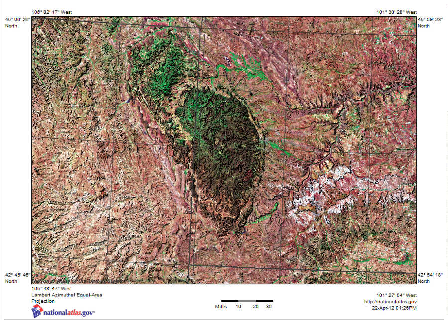
The Black Hills ( lkt, Ȟe Sápa; chy, Moʼȯhta-voʼhonáaeva; hid, awaxaawi shiibisha) is an isolated mountain range rising from the Great Plains of North America in western South Dakota and extending into Wyoming, United States. Black Elk Peak (formerly known as Harney Peak), which rises to , is the range's highest summit. The Black Hills encompass the Black Hills National Forest. The name of the hills in Lakota language, Lakota is ', meaning “the heart of everything that is." The Black Hills are considered a holy site. The hills are so called because of their dark appearance from a distance, as they are covered in evergreen trees. Native Americans in the United States, Native Americans have a long history in the Black Hills and consider it a sacred site. After conquering the Cheyenne in 1776, the Lakota people, Lakota took the territory of the Black Hills, which became central to their culture. In 1868, the U.S. government signed the Fort Laramie Treaty of 1868, establish ... [...More Info...] [...Related Items...] OR: [Wikipedia] [Google] [Baidu] |
US Highway 16
U.S. Route 16 (US 16) is an east–west United States Highway between Rapid City, South Dakota and Yellowstone National Park in Wyoming. The highway's eastern terminus is at a junction with Interstate 90/U.S. Route 14 (I-90/US 14), concurrent with I-190, in Rapid City, South Dakota. The western terminus is the east entrance to Yellowstone National Park, concurrent with US 14 and US 20. U.S. 16 used to extend all the way to Michigan, but has been truncated in favor of Interstates 90 and 96. A ballot initiative that passed in 2022, allocated funds to extend U.S. 16 through both Joe Creek and Peoria Flats. Route description Wyoming US 16 begins at the east entrance to Yellowstone National Park, along with US 14 and the eastern segment of US 20. From the park, the three highways run concurrently to Cody and Greybull. In Greybull, US 14 splits off to the east, while US 16/US 20 head due south to Basin and Worland. In Worland, ... [...More Info...] [...Related Items...] OR: [Wikipedia] [Google] [Baidu] |
KDWB
KDWB-FM (101.3 MHz) is an American commercial radio station broadcasting in the Twin Cities region of Minnesota, licensed to suburban Richfield. KDWB's radio format is Top 40/CHR. Its transmitter is located in Shoreview, while its studios are in St. Louis Park. The station is owned by iHeartMedia. History Between its AM and FM frequencies, KDWB has been an uninterrupted Top 40 outlet since 1959. Originally starting out at 630 kHz, the station's owners (Doubleday Broadcasting of Garden City, New York) purchased the 101.3 MHz frequency in 1976, later transferring the entire format there. 63 KDWB KDWB's origins on the AM dial date back to 1951, at 1590kHz. The station began as a collaboration between three brothers who named it WCOW, and it played country western and old-time music. In the early days, WCOW, which was licensed to South St. Paul (its original city of license), signed on with a cowbell. The studios, transmitter, broadcast towers and offices were lo ... [...More Info...] [...Related Items...] OR: [Wikipedia] [Google] [Baidu] |
WLOL (AM)
WLOL (1330 AM) is a radio station in the Twin Cities region of Minnesota. It broadcasts a Catholic Radio format and is part of the Relevant Radio network. WLOL's transmitter is located along the Minnesota River in Savage. History WLOL, named for the "Land Of Lakes", is one of the area's most legendary set of call letters. WLOL's history is intertwined with many other local frequencies over the years. The first incarnation of WLOL signed on at 1300 AM on June 16, 1940 and was a part of the Mutual Broadcasting System, a national radio network in the United States. Studios were a1730 Hennepin Avenue at Oak Grove Street across from Loring Park, approximately in the current-day airspace over the westbound lanes of I-94 exiting the Lowry Hill Tunnel. The transmitter was in St. Paul's Midway district. WLOL moved to 1330 AM on March 29, 1941 as required by the North American Regional Broadcasting Agreement (NARBA) under which most American, Canadian and Mexican AM radio stations chang ... [...More Info...] [...Related Items...] OR: [Wikipedia] [Google] [Baidu] |
WWTC
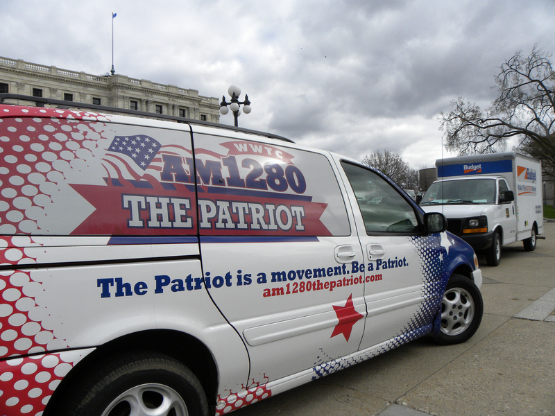
WWTC (1280 AM, "The Patriot") is a commercial radio station licensed to Minneapolis, Minnesota and serving the Twin Cities region. It is owned by Salem Media Group and broadcasts a conservative talk radio format. By day, WWTC transmits with 10,000 watts. At night, the power is increased to 15,000 watts. WWTC has a directional signal using a four-tower array. The transmitter and radio studios are on Cliff Road near Minnesota State Highway 77 in Eagan. Programming is also heard on 250-watt FM translator K298CO at 107.5 MHz. Programming On weekdays, WWTC carries nationally syndicated conservative talk shows, largely from the co-owned Salem Radio Network. They include Hugh Hewitt, Mike Gallagher, Dennis Prager, Sebastian Gorka, Larry Elder, Charlie Kirk and Eric Metaxas. One program is produced by Westwood One, " The Mark Levin Show." On weekends, shows on money, health, real estate, movies, the military and aviation are heard, as well as repeats of weekday sh ... [...More Info...] [...Related Items...] OR: [Wikipedia] [Google] [Baidu] |


