|
Jungfrau-Aletsch Protected Area
The Jungfrau-Aletsch protected area (officially Swiss Alps Jungfrau-Aletsch) is located in south-western Switzerland between the cantons of Berne and Valais. It is a mountainous region in the easternmost side of the Bernese Alps, containing the northern wall of Jungfrau and Eiger, and the largest glaciated area in western Eurasia, comprising the Aletsch Glacier. The Jungfrau-Aletsch protected area is the first World Natural Heritage site in the Alps; it was inscribed in 2001. . Retrieved on 2009-10-18 Geography and climate The Jungfrau-Aletsch protected area is located in the |
Finsteraarhorn
The Finsteraarhorn () is a mountain lying on the border between the cantons of Bern and Valais. It is the highest mountain of the Bernese Alps and the most prominent peak of Switzerland. The Finsteraarhorn is the ninth-highest mountain and third-most prominent peak in the Alps. In 2001 the whole massif and surrounding glaciers were designated as part of the Jungfrau-Aletsch World Heritage Site. Geography Despite being the most elevated, prominent and isolated mountain of both the Bernese Alps and the canton of Berne, the Finsteraarhorn is less known and frequented than the nearby Jungfrau and Eiger. This is due to its location in one of the most remote areas in the Alps, completely surrounded by un-inhabited glacial valleys. To its west lies the Fiescher Glacier, the second longest in the Alps, and to the east lie the Great Aar Glaciers. The smaller Lower Grindelwald Glacier lies north of the massif. The Finsteraarhorn is surrounded by the summits of the Schreckhorn a ... [...More Info...] [...Related Items...] OR: [Wikipedia] [Google] [Baidu] |
Aletsch
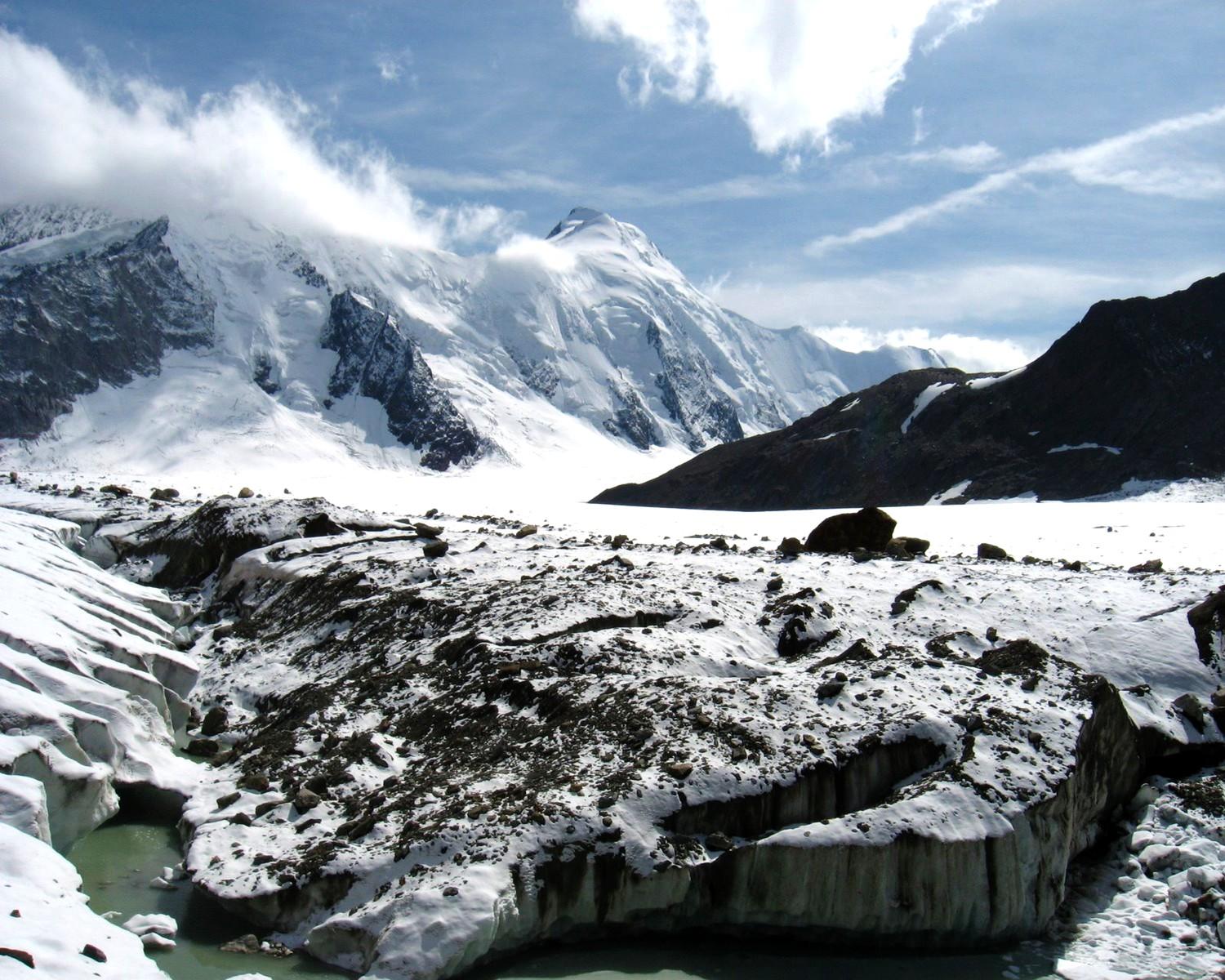
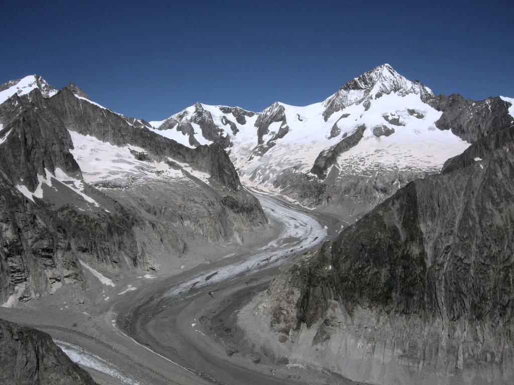
The Aletsch Glacier (german: Aletschgletscher, ) or Great Aletsch Glacier () is the largest glacier in the Alps. It has a length of about (2014), has about a volume of (2011), and covers about (2011) in the eastern Bernese Alps in the Swiss canton of Valais. The Aletsch Glacier is composed of four smaller glaciers converging at Konkordiaplatz, where its thickness was measured by the ETH to be still near . It then continues towards the valley before giving birth to the Massa. The Aletsch Glacier is – like most glaciers in the world today – a retreating glacier. As of 2016, since 1980 it lost of its length, since 1870 , and lost also more than of its thickness. The whole area, including other glaciers is part of the Protected Area, which was declared a UNESCO World Heritage Site in 2001. Geography The Aletsch Glacier is one of the many glaciers located between the cantons of Bern and Valais on the Bernese Alps located east of the Gemmi Pass. The whole area is consider ... [...More Info...] [...Related Items...] OR: [Wikipedia] [Google] [Baidu] |
Rhine
), Surselva, Graubünden, Switzerland , source1_coordinates= , source1_elevation = , source2 = Rein Posteriur/Hinterrhein , source2_location = Paradies Glacier, Graubünden, Switzerland , source2_coordinates= , source2_elevation = , source_confluence = Reichenau , source_confluence_location = Tamins, Graubünden, Switzerland , source_confluence_coordinates= , source_confluence_elevation = , mouth = North Sea , mouth_location = Netherlands , mouth_coordinates = , mouth_elevation = , progression = , river_system = , basin_size = , tributaries_left = , tributaries_right = , custom_label = , custom_data = , extra = The Rhine ; french: Rhin ; nl, Rijn ; wa, Rén ; li, Rien; rm, label= Sursilvan, Rein, rm, label= Sutsilvan and Surmiran, Ragn, rm, label=Rumantsch Grischun, Vallader and Puter, Rain; it, Reno ; gsw, Rhi(n), inclu ... [...More Info...] [...Related Items...] OR: [Wikipedia] [Google] [Baidu] |
Lauteraarhorn
The Lauteraarhorn is a peak (4,042 m) of the Bernese Alps, located in the canton of Bern. Together with the higher Schreckhorn, to which it is connected by a high ridge, it lies between the valleys of the Lower Grindelwald Glacier and the Unteraar Glacier, about 10 kilometres southeast of Grindelwald, the closest locality. The Lauteraarhorn belongs to the Aaremassif and is surrounded by large glaciers: the Lauteraargletscher and the Strahlegg-Gletscher (both feeders of the Unteraar Glacier) and the Obers Ischmeer (tributary of the Grindelwald Glacier). Being off the main ridge of the Bernese Alps, all the glaciers surrounding the Lauteraarhorn and the Schreckhorn are part of the Aare basin. The Lauteraarhorn is the second highest summit (after the Schreckhorn) lying wholly within the canton of Bern. Administratively, it is split between the municipalities of Grindelwald and Guttannen. The Lauteraarhorn includes two unnamed but noticeable subsidiary summits: the north summit (4,0 ... [...More Info...] [...Related Items...] OR: [Wikipedia] [Google] [Baidu] |
Grünhorn
The Grünhorn (or ''Gross Grünhorn'') (4,044 m) is a mountain in the Bernese Alps range of the Swiss Alps. It is located on the ridge between the two largest glaciers of the Alps: the Aletsch Glacier to the west and the Fiescher Glacier to the east. To the south lies the Gross Wannenhorn and, to the north, the Gross Fiescherhorn. The starting point for the normal route via the ''Grünegghorn'' and the south-west ridge is the Konkordiahütte at , which can be reached from Fiesch (1,049 m; 3,442 ft). Climbing history The first ascent was made on August 7, 1865 by the Bernese mineralogist Edmund von Fellenberg with guides Peter Michel, Peter Egger and Peter Inäbnit. They climbed the mountain from the west side, starting at the ''Ewigschneefeld'', a tributary glacier of the Aletsch Glacier. They successfully reached the summit despite very bad weather conditions. The same climbers had made an attempt on the peak in the previous year, but they could only reach a lower promine ... [...More Info...] [...Related Items...] OR: [Wikipedia] [Google] [Baidu] |
Hinter Fiescherhorn
Hinteres Fiescherhorn is a summit of the Bernese Alps and build together with Grosses Fiescherhorn, Grosses and Kleines Fiescherhorn the Fiescherhörner. It is located in the Switzerland, Swiss canton of Valais near the border with the canton of canton of Bern, Berne. See also *List of 4000 metre peaks of the Alps References External linksHinteres Fiescherhorn on Hikr Alpine four-thousanders Mountains of the Alps Mountains of Switzerland Mountains of Valais Bernese Alps Four-thousanders of Switzerland {{Valais-mountain-stub ... [...More Info...] [...Related Items...] OR: [Wikipedia] [Google] [Baidu] |
Gross Fiescherhorn
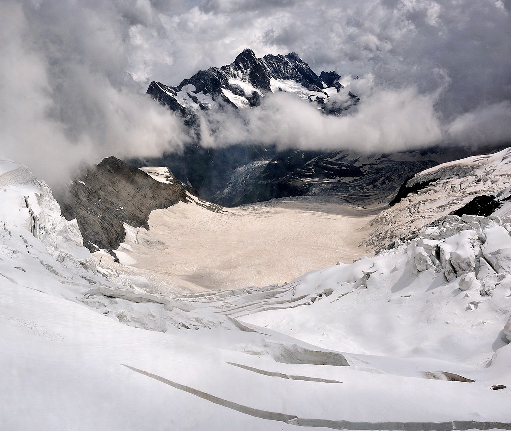
Grosses Fiescherhorn is a mountain peak of the Bernese Alps, located on the border between the cantons of Bern and ValaisValais, halfway between the Mönch and the Finsteraarhorn. At above sea level, its summit culminates over the whole Fiescherhorn massif (german: Fiescherhörner), which is also composed of the slightly lower Hinteres Fiescherhorn () to the south and Kleines Fiescherhorn (also called ''Ochs'' aka ox, ) to the east. From the north both are well hidden behind other mountain peaks and can only been seen from ''Isch'' in Grindelwald (1,095 m). The mountain is shared between the municipalities of Grindelwald and Fieschertal. Ascents are usually made from one of these three popular routes: one starts from the Mönchsjoch Hut, one from the Konkordia Hut, and the third from the Finsteraarhorn Hut. Climbing history The summit was first reached on 23 July 1862 by H. B. George and Adolphus Warburton Moore, with guides Christian Almer and Ulrich Kaufmann. They used w ... [...More Info...] [...Related Items...] OR: [Wikipedia] [Google] [Baidu] |
Schreckhorn
The Schreckhorn (4,078 m) is a mountain in the Bernese Alps. It is the highest peak located entirely in the canton of Berne. The Schreckhorn is the northernmost Alpine four-thousander and the northernmost summit rising above 4,000 metres in Europe. Geography The Schreckhorn is located 10 km south-east of Grindelwald between the Upper and Lower Grindelwald Glacier. The region is made up of uninhabited glacial valleys, the great Aar Glaciers and the Fiescher Glacier. The summit of the Lauteraarhorn is located very close and reaches almost the same altitude. The highest peak of the Bernese Alps, the Finsteraarhorn lies 6 km to the south. Geologically the Schreckhorn is part of the Aarmassif. Climbing history The first ascent was on 16 August 1861 by Leslie Stephen, Ulrich Kaufmann, Christian Michel and Peter Michel. Their route of ascent, via the upper Schreck Couloir to the Schrecksattel and then by the south-east ridge, was the normal route for the followin ... [...More Info...] [...Related Items...] OR: [Wikipedia] [Google] [Baidu] |
Mönch
The Mönch (, German: "monk") at is a mountain in the Bernese Alps, in Switzerland. Together with the Eiger and the Jungfrau, it forms a highly recognisable group of mountains, visible from far away. The Mönch lies on the border between the cantons of Valais and Canton of Bern, Bern, and forms part of a mountain ridge between the Jungfrau and Jungfraujoch to the west, and the Eiger to the east. It is west of Mönchsjoch, a pass at , Mönchsjoch Hut, and north of the Jungfraufirn and Ewigschneefäld, two affluents of the Great Aletsch Glacier. The north side of the Mönch forms a step wall above the Lauterbrunnen valley. The Jungfrau railway tunnel runs right under the summit, at an elevation of approximately . The summit was first climbed on 15 August 1857 by Christian Almer, Christian Kaufmann (1831-1861), Ulrich Kaufmann and Sigismund Porges. Gallery Image:Moench 2348.jpg, A view of the Mönch taken from the Jungfraujoch Image:Männlichen01.jpg, Panorama from Männlichen: ... [...More Info...] [...Related Items...] OR: [Wikipedia] [Google] [Baidu] |
Aletschhorn
The Aletschhorn () is a mountain in the Alps in Switzerland, lying within the Jungfrau-Aletsch region, which has been designated a World Heritage Site by UNESCO. The mountain shares part of its name with the Aletsch Glacier lying at its foot. The Aletschhorn, the second highest mountain of the Bernese Alps after the Finsteraarhorn, is the only one of the higher peaks that lies completely in Valais. It is the culminating point of a chain running parallel with the dividing ridge, and surpassing it in the height of its principal peaks. Standing thus between the principal range of the Bernese Alps and the Pennine chain, it shares with the Bietschhorn the advantage of occupying a central position in relation to the high peaks around it. The Aletschhorn is often thought to command the finest of all the panoramic views from Alpine summits. John Ball, ''The Alpine Guide: Central Alps'', 1869, p. 94 Geography On its northern flank lies the Aletschfirn, which is part of the Aletsch Gl ... [...More Info...] [...Related Items...] OR: [Wikipedia] [Google] [Baidu] |
Lauteraarhütte
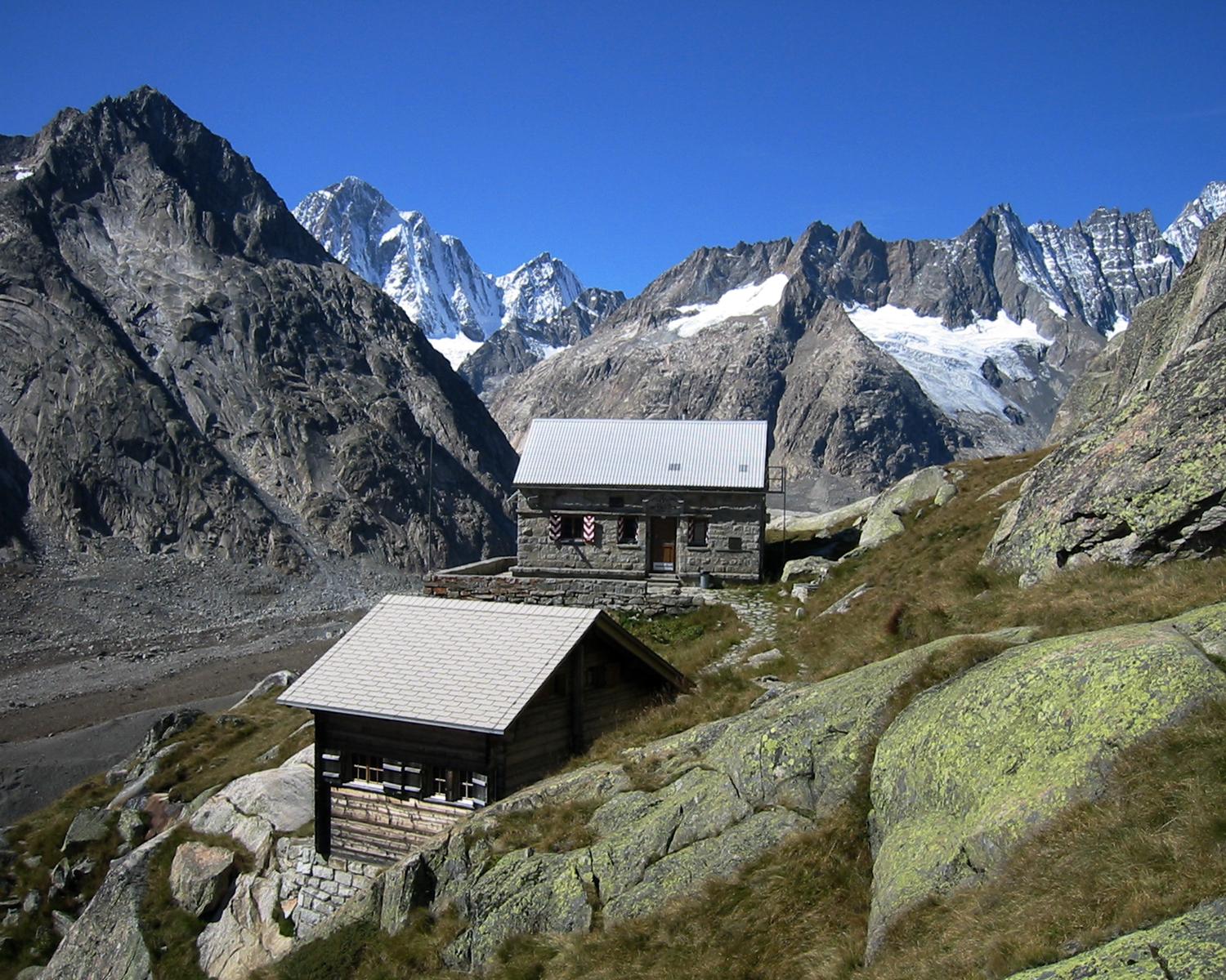
The Lauteraar Hut (German language, German: ''Lauteraarhütte'') is a mountain hut of the Swiss Alpine Club, located south-west of Handegg in the canton of Canton of Bern, Bern. The hut lies at a height of above sea level, above the Unteraar Glacier, at the foot of the Hienderstock in the Bernese Alps. The shortest access to the hut is from the Grimsel Hospice, below the Grimsel Pass. References *Swisstopo topographic maps External links Official website Mountain huts in Switzerland Buildings and structures in the canton of Bern Mountain huts in the Alps {{Bern-geo-stub ... [...More Info...] [...Related Items...] OR: [Wikipedia] [Google] [Baidu] |


