|
José Antonio Vizcarra
José Antonio Vizcarra (or Viscarra) was a Mexican soldier who served as Governor of New Mexico from 1822 to 1823. While conducting an expedition against the Navajos in 1823, he was the first to record the ruins of Chaco Canyon. Career outline José Antonio Vizcarra was the son of Don Juan José Viscarra and Doña Gertrudis Alvarado, and was born in Cuencamé, Durango. Entering the army, he rose to the rank of Lieutenant-Colonel and was appointed military chief of New Mexico in October 1822. Vizcarra was governor of New Mexico from November 1822 to September 1823. From June to September 1823 he led a punitive expedition to the west and north against the Navajo. On 14 April 1824, Lieutenant Colonel José Antonio Vizcarra, Special Commander of the province, married Doña Ana Maria Ortiz, widow of Sheriff Don Fernando Delgado. His wife was the sister of Ramón Ortiz y Miera, who became an influential priest and after the Mexican–American War (1846–1848) was to be the repatr ... [...More Info...] [...Related Items...] OR: [Wikipedia] [Google] [Baidu] |
Mexican Governors Of New Mexico
Mexican governors of New Mexico were the political chief executives of the province and later territory of Santa Fe de Nuevo México (New Mexico) between 1822, when Mexico gained independence from Spain, and 1846, when the United States occupied the territory following the Mexican–American War. It was succeeded as a territory of the United States, and as the U.S. state of New Mexico. History In January 1822 the last Governor under the Spanish regime, Facundo Melgares, lost the title of governor and was now called ''géfe político'' (political chief) and ''géfe militar'' (military chief). Melgáres left the political office on July 5, 1822, and Francisco Xavier Chavez took his place, holding office for just five months, when he was succeeded in November 1822 by Colonel José Antonio Vizcarra. Vizcarra had succeeded Melgáres as ''géfe militar'' in October 1822. In September 1823, a retired Militia Captain named Don Bartolomé Baca was appointed ''géfe politico''. Eleven mor ... [...More Info...] [...Related Items...] OR: [Wikipedia] [Google] [Baidu] |
Paguate
Paguate is a census-designated place (CDP) in Cibola County, New Mexico, United States. The population was 421 at the 2010 census. Geography Paguate is located in northeastern Cibola County at (35.137298, -107.370921), within the lands of Laguna Pueblo. It is bordered to the west by Encinal and to the north by Bibo and Moquino. It is approximately north of the community of Laguna and Interstate 40. According to the United States Census Bureau, the CDP has a total area of , of which , or 0.20%, is water. Demographics As of the census of 2000, there were 474 people, 148 households, and 113 families residing in the CDP. The population density was 64.0 people per square mile (24.7/km). There were 183 housing units at an average density of 24.7 per square mile (9.5/km). The racial makeup of the CDP was 1.27% White, 97.68% Native American, and 1.05% from two or more races. Hispanic or Latino of any race were 1.48% of the population. There were 148 households, out of which 34. ... [...More Info...] [...Related Items...] OR: [Wikipedia] [Google] [Baidu] |
Charles Bent
Charles Bent (November 11, 1799 – January 19, 1847) was an American businessman and politician who served as the first civilian United States governor of the New Mexico Territory, newly acquired by the Military Governor, Stephen Watts Kearny, in September 1846. Bent had been working as a fur trader in the region since 1828, with his younger brother, William, and later partner Ceran St. Vrain. Though his office was in Santa Fe, Bent maintained his residence and a trading post in Taos, New Mexico Territory, in present-day New Mexico. On January 19, 1847, Bent was scalped and killed by Pueblo warriors, during the Taos Revolt. Early life Charles Louis Bent was born in Charleston, Virginia, the oldest child of Judge Silas Bent, and his wife Martha Kerr. Career U.S. Army and ''Bent & St. Vrain Company'' After leaving the army, in 1828, Charles and his younger brother, William, took a wagon train of goods from St. Louis to Santa Fe. There they established mercantile contact ... [...More Info...] [...Related Items...] OR: [Wikipedia] [Google] [Baidu] |
Santa Fe, New Mexico
Santa Fe ( ; , Spanish for 'Holy Faith'; tew, Oghá P'o'oge, Tewa for 'white shell water place'; tiw, Hulp'ó'ona, label=Tiwa language, Northern Tiwa; nv, Yootó, Navajo for 'bead + water place') is the capital of the U.S. state of New Mexico. The name “Santa Fe” means 'Holy Faith' in Spanish, and the city's full name as founded remains ('The Royal Town of the Holy Faith of Saint Francis of Assisi'). With a population of 87,505 at the 2020 United States census, 2020 census, it is the List of municipalities in New Mexico, fourth-largest city in New Mexico. It is also the county seat of Santa Fe County. Its metropolitan area is part of the Albuquerque, New Mexico, Albuquerque–Santa Fe–Las Vegas, New Mexico, Las Vegas Albuquerque–Santa Fe–Las Vegas combined statistical area, combined statistical area, which had a population of 1,162,523 in 2020. Human settlement dates back thousands of years in the region, the placita was founded in 1610 as the capital of . It replace ... [...More Info...] [...Related Items...] OR: [Wikipedia] [Google] [Baidu] |
Cantonment Leavenworth
Fort Leavenworth () is a United States Army installation located in Leavenworth County, Kansas, in the city of Leavenworth. Built in 1827, it is the second oldest active United States Army post west of Washington, D.C., and the oldest permanent settlement in Kansas. Fort Leavenworth has been historically known as the "Intellectual Center of the Army." During the country's westward expansion, Fort Leavenworth was a forward destination for thousands of soldiers, surveyors, immigrants, American Indians, preachers and settlers who passed through. Today, the garrison supports the US Army Training and Doctrine Command (TRADOC) by managing and maintaining the home of the US Army Combined Arms Center (CAC). CAC's mission involves leader development, collective training, and Army doctrine and battle command (current and future). Fort Leavenworth is also home to the Military Corrections Complex, consisting of the United States Disciplinary Barracks the Department of Defense's only ... [...More Info...] [...Related Items...] OR: [Wikipedia] [Google] [Baidu] |
Colorado
Colorado (, other variants) is a state in the Mountain West subregion of the Western United States. It encompasses most of the Southern Rocky Mountains, as well as the northeastern portion of the Colorado Plateau and the western edge of the Great Plains. Colorado is the eighth most extensive and 21st most populous U.S. state. The 2020 United States census enumerated the population of Colorado at 5,773,714, an increase of 14.80% since the 2010 United States census. The region has been inhabited by Native Americans and their ancestors for at least 13,500 years and possibly much longer. The eastern edge of the Rocky Mountains was a major migration route for early peoples who spread throughout the Americas. "''Colorado''" is the Spanish adjective meaning "ruddy", the color of the Fountain Formation outcroppings found up and down the Front Range of the Rocky Mountains. The Territory of Colorado was organized on February 28, 1861, and on August 1, 1876, U.S. President Ulyss ... [...More Info...] [...Related Items...] OR: [Wikipedia] [Google] [Baidu] |
Arkansas River
The Arkansas River is a major tributary of the Mississippi River. It generally flows to the east and southeast as it traverses the U.S. states of Colorado, Kansas, Oklahoma, and Arkansas. The river's source basin lies in the western United States in Colorado, specifically the Arkansas River Valley. The headwaters derive from the snowpack in the Sawatch and Mosquito mountain ranges. It flows east into the Midwest via Kansas, and finally into the South through Oklahoma and Arkansas. At , it is the sixth-longest river in the United States, the second-longest tributary in the Mississippi–Missouri system, and the 45th longest river in the world. Its origin is in the Rocky Mountains in Lake County, Colorado, near Leadville. In 1859, placer gold discovered in the Leadville area brought thousands seeking to strike it rich, but the easily recovered placer gold was quickly exhausted. The Arkansas River's mouth is at Napoleon, Arkansas, and its drainage basin covers nearly .See wat ... [...More Info...] [...Related Items...] OR: [Wikipedia] [Google] [Baidu] |
Transcontinental Treaty
Transcontinental may refer to: Arts, entertainment, and media * "Transcontinental", a song by the band Pedro the Lion from the album ''Achilles Heel'' * TC Transcontinental, a publishing, media and marketing company based in Canada, a subsidiary of Transcontinental Inc * ''The Transcontinental'', a South Australian weekly newspaper published in Port Augusta Transport * First transcontinental railroad, United States, 1869 * Ford Transcontinental, a truck manufactured by Ford of Britain * National Transcontinental Railway, an historic Canadian railway company * Transcontinental airspeed record * ''Transcontinental Express'', a train that arrived in San Francisco in 1876 83 hours and 39 minutes after having left New York City * Transcontinental flight, a flight across a continent, such as from the Atlantic Ocean to the Pacific across the U.S. * Transcontinental railroad, a railway that crosses a continent, typically from coast to coast *Transcontinental walk, crossing a continent on f ... [...More Info...] [...Related Items...] OR: [Wikipedia] [Google] [Baidu] |
1845 Santa Fe Trail
Events January–March * January 10 – Elizabeth Barrett receives a love letter from the younger poet Robert Browning; on May 20, they meet for the first time in London. She begins writing her ''Sonnets from the Portuguese''. * January 23 – The United States Congress establishes a uniform date for federal elections, which will henceforth be held on the first Tuesday after the first Monday in November. * January 29 – ''The Raven'' by Edgar Allan Poe is published for the first time, in the ''New York Evening Mirror''. * February 1 – Anson Jones, President of the Republic of Texas, signs the charter officially creating Baylor University (the oldest university in the State of Texas operating under its original name). * February 7 – In the British Museum, a drunken visitor smashes the Portland Vase, which takes months to repair. * February 28 – The United States Congress approves the annexation of Texas. * March 1 – President John Tyler signs a bill authorizing the Un ... [...More Info...] [...Related Items...] OR: [Wikipedia] [Google] [Baidu] |
San Juan County, Utah
San Juan County ( ) is a County (United States), county in the southeastern portion of the U.S. state of Utah. As of the 2010 United States Census, the population was 14,746. Its county seat is Monticello, Utah, Monticello, while its most populous city is Blanding, Utah, Blanding. The Utah State Legislature named the county for the San Juan River (Colorado River), San Juan River, itself named by Spain, Spanish List of explorers, explorers (in honor of John the Apostle, Saint John). San Juan County borders Arizona, Colorado, and New Mexico at the Four Corners. History The Utah Territory authorized creation of San Juan County on February 17, 1880, with territories annexed from Iron County, Utah, Iron, Kane County, Utah, Kane, and Piute County, Piute counties. There has been no change in its boundaries since its creation. Monticello was founded in 1887, and by 1895 it was large enough to be designated the seat of San Juan County. Geography San Juan County lies in the southeaster ... [...More Info...] [...Related Items...] OR: [Wikipedia] [Google] [Baidu] |
Canyon De Chelly
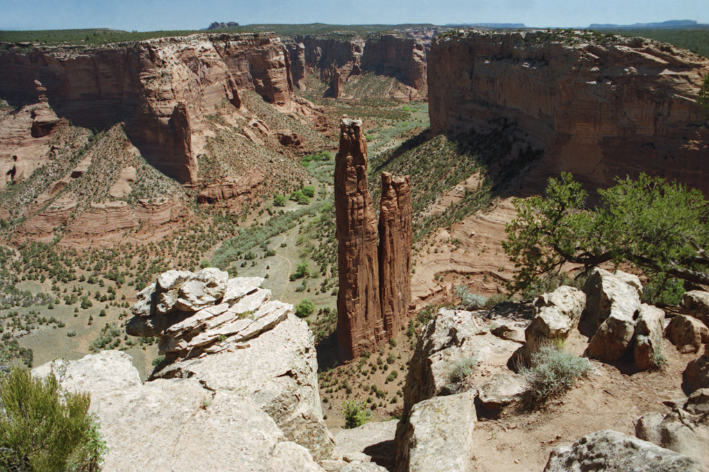
Canyon de Chelly National Monument ( ) was established on April 1, 1931, as a unit of the National Park Service. Located in northeastern Arizona, it is within the boundaries of the Navajo Nation and lies in the Four Corners region. Reflecting one of the longest continuously inhabited landscapes of North America, it preserves ruins of the indigenous tribes that lived in the area, from the Ancestral Puebloans (also known as the Anasazi) to the Navajo. The monument covers and encompasses the floors and rims of the three major canyons: de Chelly, del Muerto, and Monument. These canyons were cut by streams with headwaters in the Chuska Mountains just to the east of the monument. None of the land is federally owned. Canyon de Chelly is one of the most visited national monuments in the United States. Etymology The name ''Chelly'' (or ''Chelley'') is a Spanish borrowing of the Navajo word'' '', which means "canyon" (literally "inside the rock" < ''tsé'' "rock" + ''-yiʼ'' "insid ... [...More Info...] [...Related Items...] OR: [Wikipedia] [Google] [Baidu] |
Jemez Pueblo
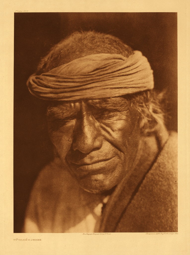
Jemez Pueblo (/ˈhɛmɛz/; tow, Walatowa, nv, Mąʼii Deeshgiizh) is a census-designated place (CDP) in Sandoval County, New Mexico, United States. The population was 1,788 at the 2010 census. It is part of the Albuquerque Metropolitan Statistical Area. The CDP is named after the pueblo at its center. Among Pueblo members, it is known as . Geography Jemez Pueblo is located at (35.610435, -106.727509). According to the United States Census Bureau, the CDP has a total area of , all land. Demographics It seems that a significant part of the Jemez Pueblo population originates from the surviving remnant of the Pecos Pueblo population who fled to Jemez Pueblo in 1838. The Jemez speak a Kiowa–Tanoan language also known as '' Jemez'' or ''Towa.'' As of the census of 2000, there were 1,953 people, 467 households, and 415 families residing in the CDP. The population density was 957.0 people per square mile (369.6/km2). There were 499 housing units at an average density of 244.5 ... [...More Info...] [...Related Items...] OR: [Wikipedia] [Google] [Baidu] |


