|
Janes Island State Park
Janes Island State Park is a public recreation area on Chesapeake Bay lying adjacent to the city of Crisfield in Somerset County, Maryland. The state park features some of marked water trails through the island's salt marsh leading to isolated pristine beaches. The park is managed by the Maryland Department of Natural Resources. History Janes Island State Park was created in 1963. Between 1965 and 1978, the Maryland General Assembly authorized funding of $1,000,000 for land acquisition and site improvements including beach erosion control measures and construction of camping and picnicking facilities. Activities and amenities The park features a conference center, campground, rental cabins, fishing and crabbing, boat launch, boat slips, and canoe and kayak rentals. Canoe trails lead to a 7-mile-long white sandy beach on Tangier Sound and Chesapeake Bay The Chesapeake Bay ( ) is the largest estuary in the United States. The Bay is located in the Mid-Atlantic region and i ... [...More Info...] [...Related Items...] OR: [Wikipedia] [Google] [Baidu] |
List Of Maryland State Parks
This list of Maryland state parks includes the state parks and state battlefields listed in the Maryland Department of Natural Resources's current acreage report. Generally, the Maryland Park Service, a unit of and under the authority of the Maryland Department of Natural Resources (DNR), is the governing body for these parks, although some have been turned over to local authorities. Maryland state parks Maryland state battlefields Former Maryland state parks *The former Jonas Green State Park was transferred to Anne Arundel County, Maryland, Anne Arundel County and became Jonas Green Park, Jonas and Anne Catharine Green Park. See also *List of National Park System areas in Maryland References External links State Park DirectoryMaryland Department of Natural Resources Maryland Manual On-Line, Maryland State Archives {{Maryland State parks of Maryland, Lists of state parks of the United States, Maryland state parks ... [...More Info...] [...Related Items...] OR: [Wikipedia] [Google] [Baidu] |
Crisfield, Maryland
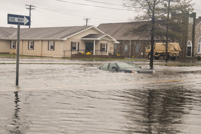
Crisfield is a city in Somerset County, Maryland, United States, located on the Tangier Sound, an arm of the Chesapeake Bay. The population was 2,515 at the 2020 census. It is included in the Salisbury, Maryland-Delaware Metropolitan Statistical Area. Crisfield has the distinction of being the southernmost incorporated city in Maryland. The site of today's Crisfield was initially a small fishing village called Annemessex Neck. During European colonization, it was renamed Somers Cove, after Benjamin Summers. When the business potential for seafood was discovered, John W. Crisfield decided to bring the Pennsylvania Railroad to Crisfield, and the quiet fishing town grew. Crisfield is now known as the "Seafood Capital of the World". The city's success was so great that the train soot and oyster shells prompted the extension of the city's land into the marshes. City residents often claim that the downtown area is literally built atop oyster shells. Crisfield began to slip into ... [...More Info...] [...Related Items...] OR: [Wikipedia] [Google] [Baidu] |
United States
The United States of America (U.S.A. or USA), commonly known as the United States (U.S. or US) or America, is a country primarily located in North America. It consists of 50 states, a federal district, five major unincorporated territories, nine Minor Outlying Islands, and 326 Indian reservations. The United States is also in free association with three Pacific Island sovereign states: the Federated States of Micronesia, the Marshall Islands, and the Republic of Palau. It is the world's third-largest country by both land and total area. It shares land borders with Canada to its north and with Mexico to its south and has maritime borders with the Bahamas, Cuba, Russia, and other nations. With a population of over 333 million, it is the most populous country in the Americas and the third most populous in the world. The national capital of the United States is Washington, D.C. and its most populous city and principal financial center is New York City. Paleo-Americ ... [...More Info...] [...Related Items...] OR: [Wikipedia] [Google] [Baidu] |
Maryland Department Of Natural Resources
The Maryland Department of Natural Resources (DNR) is a government agency in the state of Maryland charged with maintaining natural resources including state parks, public lands, state forests, state waterways, wildlife, and recreation areas. Its headquarters is in Annapolis. Department responsibilities The Department's principal functions are: * Managing over of public lands * Protecting over of waterways * Lead agency for restoration of the Chesapeake Bay and coastal bays.''Annual Report 2007-2008'' MdDNR; PDF download; (2007); Document no. DNR01-1242007-184; pp. 5-6 DNR does not issue or enforce environmental permits under the federal Clean Air Act, |
Chesapeake Bay
The Chesapeake Bay ( ) is the largest estuary in the United States. The Bay is located in the Mid-Atlantic (United States), Mid-Atlantic region and is primarily separated from the Atlantic Ocean by the Delmarva Peninsula (including the parts: the Eastern Shore of Maryland / Eastern Shore of Virginia and the state of Delaware) with its mouth of the Bay at the south end located between Cape Henry and Cape Charles (headland), Cape Charles. With its northern portion in Maryland and the southern part in Virginia, the Chesapeake Bay is a very important feature for the ecology and economy of those two states, as well as others surrounding within its watershed. More than 150 major rivers and streams flow into the Bay's drainage basin, which covers parts of six states (New York, Pennsylvania, Delaware, Maryland, Virginia and West Virginia) and all of District of Columbia. The Bay is approximately long from its northern headwaters in the Susquehanna River to its outlet in the Atlantic Ocea ... [...More Info...] [...Related Items...] OR: [Wikipedia] [Google] [Baidu] |
Somerset County, Maryland
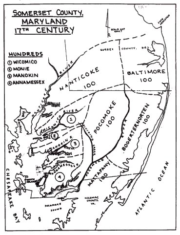
Somerset County is the southernmost county in the U.S. state of Maryland. As of the 2020 census, the population was 24,620, making it the second-least populous county in Maryland. The county seat is Princess Anne. The county was named for Mary, Lady Somerset, the wife of Sir John Somerset and daughter of Thomas Arundell, 1st Baron Arundell of Wardour (c. 1560–1639). She was also the sister of Anne Calvert, Baroness Baltimore (1615–1649), who later lent her name to Anne Arundel County, which was erected in 1650 as the Province of Maryland's third county. Somerset County is located on the state's Eastern Shore. It is included in the Salisbury, MD- DE Metropolitan Statistical Area. The University of Maryland Eastern Shore is located in Princess Anne. History Initial settlements Somerset County was settled and established by English colonists in part due to a response to the Province/Dominion of Virginia passing a law in 1659/1660 requiring Quakers in the colony to convert ... [...More Info...] [...Related Items...] OR: [Wikipedia] [Google] [Baidu] |
Maryland
Maryland ( ) is a state in the Mid-Atlantic region of the United States. It shares borders with Virginia, West Virginia, and the District of Columbia to its south and west; Pennsylvania to its north; and Delaware and the Atlantic Ocean to its east. Baltimore is the largest city in the state, and the capital is Annapolis. Among its occasional nicknames are '' Old Line State'', the ''Free State'', and the '' Chesapeake Bay State''. It is named after Henrietta Maria, the French-born queen of England, Scotland, and Ireland, who was known then in England as Mary. Before its coastline was explored by Europeans in the 16th century, Maryland was inhabited by several groups of Native Americans – mostly by Algonquian peoples and, to a lesser degree, Iroquoian and Siouan. As one of the original Thirteen Colonies of England, Maryland was founded by George Calvert, 1st Baron Baltimore, a Catholic convert"George Calvert and Cecilius Calvert, Barons Baltimore" William Hand Browne, ... [...More Info...] [...Related Items...] OR: [Wikipedia] [Google] [Baidu] |
State Park
State parks are parks or other protected areas managed at the sub-national level within those nations which use "state" as a political subdivision. State parks are typically established by a state to preserve a location on account of its natural beauty, historic interest, or recreational potential. There are state parks under the administration of the government of each U.S. state, some of the political divisions of Mexico#States, Mexican states, and in Brazil. The term is also used in the Australian states of template:state parks of Victoria, Victoria and state parks of New South Wales, New South Wales. The equivalent term used in Canada, Argentina, South Africa, and Belgium, is provincial park. Similar systems of local government maintained parks exist in other countries, but the terminology varies. State parks are thus similar to national parks, but under state rather than federal administration. Similarly, local government entities below state level may maintain parks, e.g., r ... [...More Info...] [...Related Items...] OR: [Wikipedia] [Google] [Baidu] |
Salt Marsh
A salt marsh or saltmarsh, also known as a coastal salt marsh or a tidal marsh, is a coastal ecosystem in the upper coastal intertidal zone between land and open saltwater or brackish water that is regularly flooded by the tides. It is dominated by dense stands of salt-tolerant plants such as herbs, grasses, or low shrubs. These plants are terrestrial in origin and are essential to the stability of the salt marsh in trapping and binding sediments. Salt marshes play a large role in the aquatic food web and the delivery of nutrients to coastal waters. They also support terrestrial animals and provide coastal protection. Salt marshes have historically been endangered by poorly implemented coastal management practices, with land reclaimed for human uses or polluted by upstream agriculture or other industrial coastal uses. Additionally, sea level rise caused by climate change is endangering other marshes, through erosion and submersion of otherwise tidal marshes. However, recent ackn ... [...More Info...] [...Related Items...] OR: [Wikipedia] [Google] [Baidu] |
Maryland General Assembly
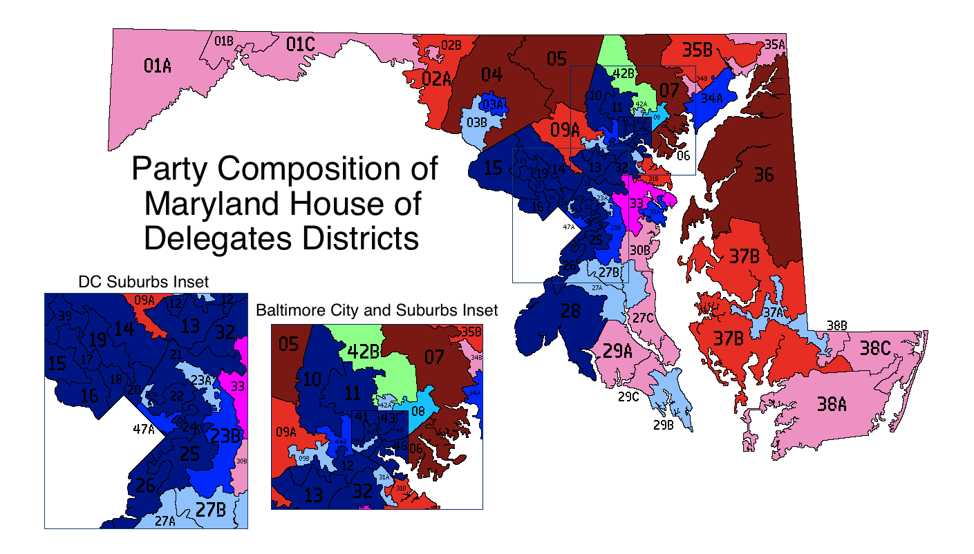
The Maryland General Assembly is the state legislature of the U.S. state of Maryland that convenes within the State House in Annapolis. It is a bicameral body: the upper chamber, the Maryland Senate, has 47 representatives and the lower chamber, the Maryland House of Delegates, has 141 representatives. Members of both houses serve four-year terms. Each house elects its own officers, judges the qualifications and election of its own members, establishes rules for the conduct of its business, and may punish or expel its own members. The General Assembly meets each year for 90 days to act on more than 2,300 bills including the state's annual budget, which it must pass before adjourning ''sine die''. The General Assembly's 441st session convened on January 9, 2020. History The forerunner of the Maryland General Assembly was the colonial institution, an Assembly of Free Marylanders (and also Council of Maryland). Maryland's foundational charter created a state ruled by the ''Pala ... [...More Info...] [...Related Items...] OR: [Wikipedia] [Google] [Baidu] |
Coastal Erosion
Coastal erosion is the loss or displacement of land, or the long-term removal of sediment and rocks along the coastline due to the action of waves, currents, tides, wind-driven water, waterborne ice, or other impacts of storms. The landward retreat of the shoreline can be measured and described over a temporal scale of tides, seasons, and other short-term cyclic processes. Coastal erosion may be caused by hydraulic action, abrasion, impact and corrosion by wind and water, and other forces, natural or unnatural. On non-rocky coasts, coastal erosion results in rock formations in areas where the coastline contains rock layers or fracture zones with varying resistance to erosion. Softer areas become eroded much faster than harder ones, which typically result in landforms such as tunnels, bridges, columns, and pillars. Over time the coast generally evens out. The softer areas fill up with sediment eroded from hard areas, and rock formations are eroded away. Also erosion commonly ... [...More Info...] [...Related Items...] OR: [Wikipedia] [Google] [Baidu] |
Tangier Sound
Tangier Sound is a sound of the Chesapeake Bay bounded on the west by Tangier Island in Virginia, and Smith Island and South Marsh Island in Maryland, by Deal Island in Maryland on the north, and the mainland of the Eastern Shore of Maryland and Pocomoke Sound on the east. It stretches into Virginia as far south as Watts Island. The Manokin, Big Annemessex, and Little Annemessex Rivers all flow into Tangier Sound from Somerset County, Maryland. Crisfield, Maryland, located on Tangier Sound, is a center of the shellfish industry. Smith Island, Tangier Island and Deal Island also remain centers of the Chesapeake Bay seafood industry and outposts of Chesapeake culture and history. As in other parts of Chesapeake Bay, the seafood industry on Tangier Sound has declined markedly due to pollution, mismanagement and the growth of recreational fishing. However, the wild oyster industry has seen a strong reemergence in recent years due to shell planting and caretaking methods per ... [...More Info...] [...Related Items...] OR: [Wikipedia] [Google] [Baidu] |


