|
Jillellamudi
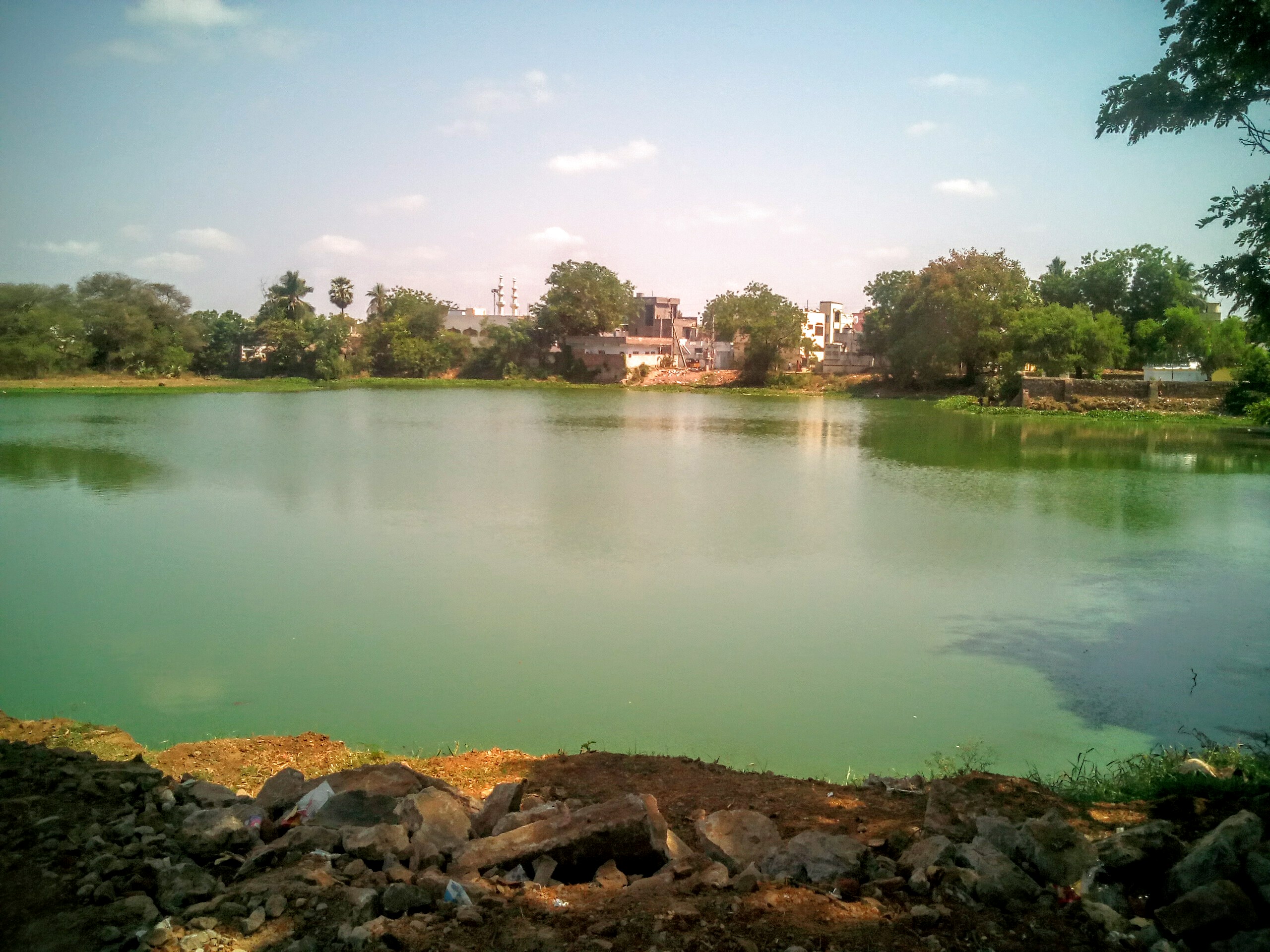
Jillellamudi is a village in Guntur district of the Indian state of Andhra Pradesh. It is located in Bapatla mandal in Tenali revenue division. Jillellamudi became popular because of spiritual leader Anasuya Devī also known as Jillellamudi Amma" / Viswajanani (meaning "mother of all"). Geography Jillellamudi is situated to the north of the mandal headquarters, Bapatla, at . It is spread over an area of . Governance Jillellamudi Gram Panchayat is the local self-government of the village. It is divided into wards and each ward is represented by a ward member. Education As per the school information report for the academic year 2018–19, the village has a total of 2 schools. These include one MPP and one private school. See also *List of villages in Guntur district census of India, the following villages are recognized in Guntur district, Andhra Pradesh, India. This list is organized alphabetically by mandal. Settlements not counted in the 2011 census are not ... [...More Info...] [...Related Items...] OR: [Wikipedia] [Google] [Baidu] |
Anasuya Devī
Matrusri Anasuya Devi (born 28 March 1923 – 1985), better known simply as Amma Mother" was an Indian spiritual guru from Andhra Pradesh. Early life Anasuya Devi was an Indian guru from Jillellamudi (now partially known as Arkapuri), Guntur District, in the state of Andhra Pradesh. Anasuya Devi was born in a small village in Andhra Pradesh, on March 28, 1923. to a couple late Seethapathi Rao, the village officer of Mannava and his wife Rangamma. Seethapathi and Rangamma after their loss of as many as five children. Rangamma conceived a child."50 Spiritual Appetizers: Principles of Good Governance By Vinod Dhawan", , p.43 and gave birth to Anasuya.''Mother of All: A Revelation of the Motherwood of God in the Life and Teachings of the Mother'', , Section 20Bollée, Willem. "Physical Aspects of Some Mahāpuruṣas Descent, Foetality, Birth." Wiener Zeitschrift für Die Kunde Südasiens / Vienna Journal of South Asian Studies, vol. 49, 2005, pp. 5–34.p9 https://www.jstor.org ... [...More Info...] [...Related Items...] OR: [Wikipedia] [Google] [Baidu] |
Bapatla Mandal
Bapatla mandal is one of the 25 mandals in Bapatla district of the state of Andhra Pradesh, India. It is under the administration of Bapatla revenue division and the headquarters are located at Bapatla. The mandal is bounded by Kakumanu, Ponnur, Karlapalem mandals of Guntur district. It also shares borders with Prakasam district and a portion of it lies on the coast of Bay of Bengal. Demographics census, the mandal had a population of 143,825. The total population constitute, 70,847 males and 72,978 females —a sex ratio of 1030 females per 1000 males. 13,371 children are in the age group of 0–6 years, of which 6,856 are boys and 6,515 are girls. The average literacy rate stands at 71.79% with 93,653 literates. Settlements census, the mandal has 21 settlements. It includes 20 villages and 1 town of Bapatla. The settlements in the mandal are listed below: ''Note: M-Municipality'' Government and politics The mandal is under the control of a tahsildar and th ... [...More Info...] [...Related Items...] OR: [Wikipedia] [Google] [Baidu] |
List Of Villages In Guntur District ...
census of India, the following villages are recognized in Guntur district, Andhra Pradesh, India. This list is organized alphabetically by mandal. Settlements not counted in the 2011 census are not included. A B C D E G I K M N P R S T V See also *List of villages in Krishna district Notes References {{DEFAULTSORT:Villages in Guntur district, List of Guntur villages Guntur Guntur () is a city and the administrative headquarters of Guntur district in the Indian state of Andhra Pradesh. Guntur is spread across 168.49 km square and is the third-largest city in the state. It is situated to the west of the Ba ... [...More Info...] [...Related Items...] OR: [Wikipedia] [Google] [Baidu] |
Indian Standard Time
Indian Standard Time (IST), sometimes also called India Standard Time, is the time zone observed throughout India, with a time offset of UTC+05:30. India does not observe daylight saving time or other seasonal adjustments. In military and aviation time, IST is designated E* ("Echo-Star"). It is indicated as Asia/Kolkata in the IANA time zone database. History After Independence in 1947, the Union government established IST as the official time for the whole country, although Kolkata and Mumbai retained their own local time (known as Calcutta Time and Bombay Time) until 1948 and 1955, respectively. The Central observatory was moved from Chennai to a location at Shankargarh Fort in Allahabad district, so that it would be as close to UTC+05:30 as possible. Daylight Saving Time (DST) was used briefly during the China–India War of 1962 and the Indo-Pakistani Wars of 1965 and 1971. Calculation Indian Standard Time is calculated from the clock tower in Mirzapur nearly exa ... [...More Info...] [...Related Items...] OR: [Wikipedia] [Google] [Baidu] |
Mandal Parishad Primary School
Mandal Parishad Primary School or Mandal Parishad Upper Primary School is the name of many Government Primary Schools in India and most particularly in the states of Andhra Pradesh and Telangana. These schools are established, supervised, and funded by the Mandal Parishad (taluka level local authorities of states).Mandal Parishad Primary Schools provide education for students from grades 1–5. References See also * Zilla Parishad High School * Sarva Shiksha Abhiyan Sarva Shiksha Abhiyan (), or SSA, is an Indian Government programme aimed at the universalisation of Elementary education "in a time bound manner", the 86th Amendment to the Constitution of India making free and compulsory education to children ... Schools in Andhra Pradesh Schools in Telangana Primary schools in India 1927 establishments in India {{India-school-stub ... [...More Info...] [...Related Items...] OR: [Wikipedia] [Google] [Baidu] |
Local Self-government In India
Local government in India refers to governmental jurisdictions below the level of the state.Local self-government means that residents in towns, villages and rural settlements are the people elect local councils and their heads authorising them to solve the important issues. India is a federal republic with three spheres of government: central, state and local. The 73rd and 74th constitutional amendments give recognition and protection to local governments and in addition each state has its own local government legislation. Since 1992, local government in India takes place in two very distinct forms. Urban localities, covered in the 74th amendment to the Constitution, have Nagar Palika but derive their powers from the individual state governments, while the powers of rural localities have been formalized under the ''panchayati raj'' system, under the 73rd amendment to the Constitution. Within the Administrative setup of India, the democratically elected Local governance bodi ... [...More Info...] [...Related Items...] OR: [Wikipedia] [Google] [Baidu] |
Gram Panchayat
Gram Panchayat () is a basic village-governing institute in Indian villages. It is a democratic structure at the grass-roots level in India. It is a political institute, acting as cabinet of the village. The Gram Sabha work as the general body of the Gram Panchayat. The members of the Gram Panchayat are elected by the Gram Sabha. There are about 250,000+ Gram Panchayats in India. History Established in various states of India, the Panchayat Raj system has three tiers: Zila Parishad, at the district level; Panchayat Samiti, at the block level; and Gram Panchayat, at the village level. Rajasthan was the first state to establish Gram Panchayat, Bagdari Village (Nagaur District) being the first village where Gram Panchayat was established, on 2 October 1959. The failed attempts to deal with local matters at the national level caused, in 1992, the reintroduction of Panchayats for their previously used purpose as an organisation for local self-governance. Structure Gram P ... [...More Info...] [...Related Items...] OR: [Wikipedia] [Google] [Baidu] |
Bapatla
Bapatla is a city and District headquarters of Bapatla district in the States and union territories of India, Indian state of Andhra Pradesh. It is a municipality and the mandal headquarters of Bapatla mandal of Bapatla revenue division. The nearest towns and cities to Bapatla are Chirala, Ponnur, Tenali and Guntur of 17 km, 22 km, 50 km and 53 km respectively. Etymology The town was formerly known as ''Bhavapattana'', ''Bhavapuri'', ''Bhavapattu'' and ''Bhavapatta''. The names were derived from the Bhavanarayana Temple located in the town. Later, these names were transformed to the present name of Bapatla. The temple was constructed in 1465 by a chola king named Krimikantha Chola, and was later restored. Geography The coordinates of the town are and is located at an altitude of 8 mts from the coast of Bay of Bengal. Climate The town experiences tropical climate with the average annual temperatures records at . Hot summers and cool winters a ... [...More Info...] [...Related Items...] OR: [Wikipedia] [Google] [Baidu] |
Tenali Revenue Division
Tenali is a city in Guntur district of the States and union territories of India, Indian state of Andhra Pradesh. It is a municipality and the headquarters of Tenali mandal and Tenali revenue division. The city is renowned for art, culture, drama and hence, it is called ''Andhra Paris''. It is one of the twelve urban local bodies in Andhra Pradesh Capital Region and the twelfth most populous city in the state, with a population of 199,345 as of 2011. Tenali City is also part of Andhra Pradesh Capital Region Development Authority (APCRDA). Tenali Ramakrishna, one of the eight poets and jester of Maharaja Krishnadevaraya, hails from Tenali. Etymology The word ''Tenali'' is derived from ''Teravali''. Three canals of the Krishna River flow through Tenali City, making it a part of the rice bowl of Andhra Pradesh, resembling Paris, where three canals pass through the city. Hence Tenali is affectionately called "Andhra Paris". In 2011 the city limits were expanded by many kilome ... [...More Info...] [...Related Items...] OR: [Wikipedia] [Google] [Baidu] |
Indian State
India is a federal union comprising 28 states and 8 union territories, with a total of 36 entities. The states and union territories are further subdivided into districts and smaller administrative divisions. History Pre-independence The Indian subcontinent has been ruled by many different ethnic groups throughout its history, each instituting their own policies of administrative division in the region. The British Raj mostly retained the administrative structure of the preceding Mughal Empire. India was divided into provinces (also called Presidencies), directly governed by the British, and princely states, which were nominally controlled by a local prince or raja loyal to the British Empire, which held ''de facto'' sovereignty ( suzerainty) over the princely states. 1947–1950 Between 1947 and 1950 the territories of the princely states were politically integrated into the Indian union. Most were merged into existing provinces; others were organised into ... [...More Info...] [...Related Items...] OR: [Wikipedia] [Google] [Baidu] |
Vehicle Registration Plates Of India
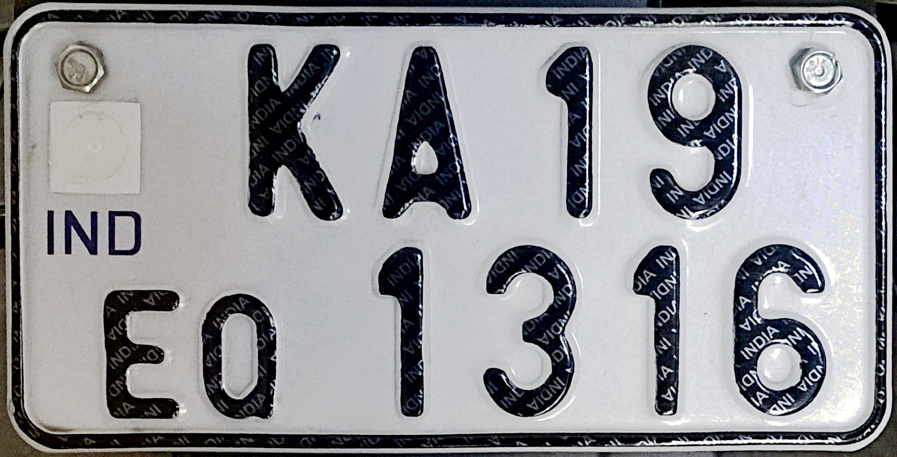
All motorised road vehicles in India are tagged with a registration or licence number. The Vehicle registration plate (commonly known as number plate) number is issued by the district-level Regional Transport Office (RTO) of respective states — the main authority on road matters. The number plates are placed in the front and back of the vehicle. By law, all plates are required to be in modern Hindu-Arabic numerals with Latin letters. The international vehicle registration code for India is IND. Colour coding Permanent Registration * Private vehicles: ** Private vehicles, by default, have black lettering on a white background (e.g. ). ** Vehicles which run purely on electricity have white lettering on a green background (e.g. ) * Commercial vehicles: ** Commercial vehicles such as taxis, buses and trucks, by default, have black lettering on a yellow background (e.g. ). ** Vehicles available on rent for self-drive have yellow lettering on a black background (e.g. ). ** V ... [...More Info...] [...Related Items...] OR: [Wikipedia] [Google] [Baidu] |
Postal Index Number
A Postal Index Number (PIN; sometimes redundantly a PIN code) refers to a six-digit code in the Indian postal code system used by India Post. On 15 August 2022, the PIN system celebrated its 50th anniversary. History The PIN system was introduced on 15 August 1972 by Shriram Bhikaji Velankar, an additional secretary in the Government of India's Ministry of Communications. The system was introduced to simplify the manual sorting and delivery of mail by eliminating confusion over incorrect addresses, similar place names, and different languages used by the public. PIN structure The first digit of a PIN indicates the zone, the second indicates the sub-zone, and the third, combined with the first two, indicates the sorting district within that zone. The final three digits are assigned to individual post offices within the sorting district. Postal zones There are nine postal zones in India, including eight regional zones and one functional zone (for the Indian Army). The f ... [...More Info...] [...Related Items...] OR: [Wikipedia] [Google] [Baidu] |


