|
Jayapura, Mysore
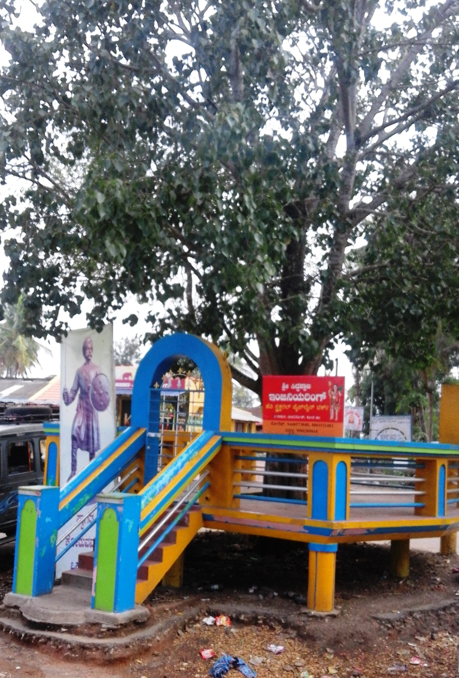
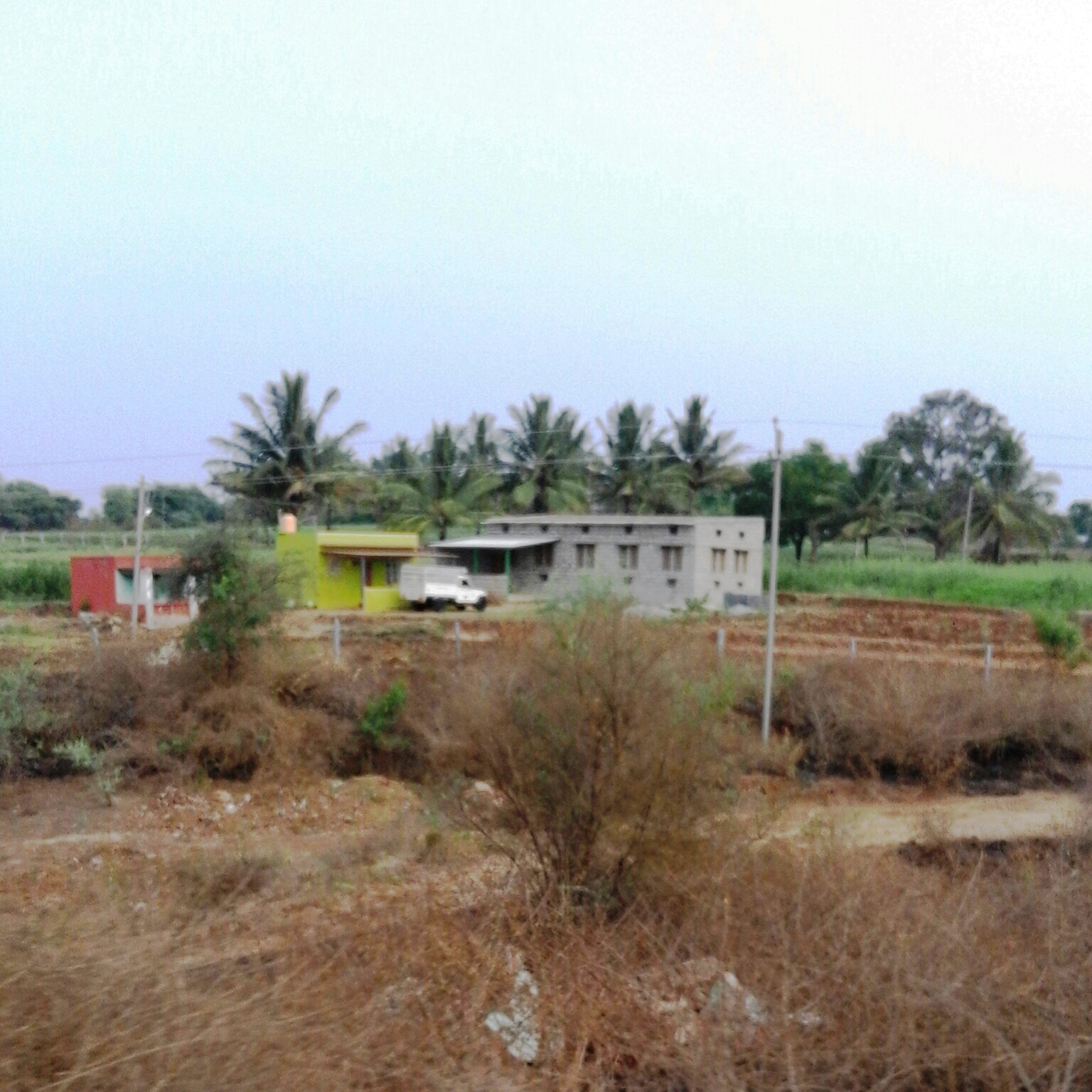
Jayapura is a small village near Mysore in the state of Karnataka in India. Location Jayapura is located in Mysore taluk of Mysore district on Mananthavady Road. The postal code of the village is 570008. The village is 17 km away from Mysore. Suburbs Jayapura has Nanjangud on the east and H.D.Kote on the west. Srirangapatana is on the north and Hunsur is on the west. The telephone code of the village is 0821. See also * Anthara Santhe * Daripura, Mysore * Harohalli * Mandanahalli References {{coord missing, Karnataka Villages in Mysore district ... [...More Info...] [...Related Items...] OR: [Wikipedia] [Google] [Baidu] |
Jayapura
Jayapura (formerly Dutch: ''Hollandia'') is the capital and largest city of the Indonesian province of Papua. It is situated on the northern coast of New Guinea island and covers an area of . The city borders the Pacific Ocean and Yos Sudarso Bay to the north, the sovereign state of Papua New Guinea to the east, Keerom Regency to the south, and Jayapura Regency to the west. With a population of 398,478 according to the 2020 census, Jayapura is the most populous city in the entire island of New Guinea, surpassing Port Moresby, the national capital of Papua New Guinea. It is also the fastest-growing city in Indonesia, with the population increasing by 55.23% since the previous census in 2010. The official estimate as at mid 2021 was 404,004. Jayapura is the fourth largest city by economy in Eastern Indonesia—after Makassar, Denpasar, and Manado—with an estimated 2016 GDP at Rp19.48 trillion. As of 2017, it is also the second-most expensive Indonesian city to live in, aft ... [...More Info...] [...Related Items...] OR: [Wikipedia] [Google] [Baidu] |
Mysore
Mysore (), officially Mysuru (), is a city in the southern part of the state of Karnataka, India. Mysore city is geographically located between 12° 18′ 26″ north latitude and 76° 38′ 59″ east longitude. It is located at an altitude of above mean sea level. Mysore is situated at the foothills of Chamundi Hills about towards the southwest of Bangalore and spread across an area of . Mysore City Corporation is responsible for the civic administration of the city, which is also the headquarters of Mysore district and Mysore division. It served as the capital city of the Kingdom of Mysore for nearly six centuries from 1399 until 1956. The Kingdom was ruled by the Wadiyar dynasty, with a brief period of interregnum in the late 18th century when Hyder Ali and Tipu Sultan were in power. The Wadiyars were patrons of art and culture. Tipu Sultan and Hyder Ali also contributed significantly to the cultural and economic growth of the city and the state by planting mulber ... [...More Info...] [...Related Items...] OR: [Wikipedia] [Google] [Baidu] |
Karnataka
Karnataka (; ISO: , , also known as Karunāḍu) is a state in the southwestern region of India. It was formed on 1 November 1956, with the passage of the States Reorganisation Act. Originally known as Mysore State , it was renamed ''Karnataka'' in 1973. The state corresponds to the Carnatic region. Its capital and largest city is Bengaluru. Karnataka is bordered by the Lakshadweep Sea to the west, Goa to the northwest, Maharashtra to the north, Telangana to the northeast, Andhra Pradesh to the east, Tamil Nadu to the southeast, and Kerala to the southwest. It is the only southern state to have land borders with all of the other four southern Indian sister states. The state covers an area of , or 5.83 percent of the total geographical area of India. It is the sixth-largest Indian state by area. With 61,130,704 inhabitants at the 2011 census, Karnataka is the eighth-largest state by population, comprising 31 districts. Kannada, one of the classical languages of India, ... [...More Info...] [...Related Items...] OR: [Wikipedia] [Google] [Baidu] |
India
India, officially the Republic of India (Hindi: ), is a country in South Asia. It is the seventh-largest country by area, the second-most populous country, and the most populous democracy in the world. Bounded by the Indian Ocean on the south, the Arabian Sea on the southwest, and the Bay of Bengal on the southeast, it shares land borders with Pakistan to the west; China, Nepal, and Bhutan to the north; and Bangladesh and Myanmar to the east. In the Indian Ocean, India is in the vicinity of Sri Lanka and the Maldives; its Andaman and Nicobar Islands share a maritime border with Thailand, Myanmar, and Indonesia. Modern humans arrived on the Indian subcontinent from Africa no later than 55,000 years ago., "Y-Chromosome and Mt-DNA data support the colonization of South Asia by modern humans originating in Africa. ... Coalescence dates for most non-European populations average to between 73–55 ka.", "Modern human beings—''Homo sapiens''—originated in Africa. Then, int ... [...More Info...] [...Related Items...] OR: [Wikipedia] [Google] [Baidu] |
Anthara Santhe
Anthare Santhe is a small town near Nagarhole National Park in Heggadadevankote, Mysore district, Karnataka, India. Location Anthare Santhe is the nucleus of a series of villages situated deep inside the Nagerhole forest of Karnataka state. Kabini river and reservoir lies on the eastern side of all these villages. Balle Elephant Camp Balle Elephant Camp is located near the Anthare Santhe village. It is part of the Nagerhole national forest and it is located at the Balle checkpost. Education Honnamannakatte High School is the main educational organization in Anthara Santhe. Suburbs and villages * D.B.Kuppe * Machur * Karapura * Nisana Belathur * Hemmankette * Dommanakatete * Lakshmi pura See also * * Balle Elephant Camp * D.B.Kuppe * Daripura, Mysore * Harohalli Harohalli is a Town in the southern state of Karnataka, India.Village code= 2825600 Harohalli, Ramanagara, Karnataka It is located in the Harohalli taluk of Ramanagar district in Karnataka. Demographi ... [...More Info...] [...Related Items...] OR: [Wikipedia] [Google] [Baidu] |
Daripura, Mysore
Daripura is a small village in Mysore, Karnataka province, India. Location Daripura is located on Mananthavady Road in Mysore district. Demographics Daripura has a population of 739 people. Children make up of 10 percent of the population. The literacy rate is 70%. The female literacy is only 62%. Administration Daripura village is administrated by a Sarpanch elected by the villagers. Image Gallery File:Daripura.-2.jpg, Daripura File:Daripura.3.jpg, Daripura References {{coord, 12, 13, N, 76, 34, E, display=title, region:IN_type:city_source:GNS-enwiki Villages in Mysore district ... [...More Info...] [...Related Items...] OR: [Wikipedia] [Google] [Baidu] |
Harohalli
Harohalli is a Town in the southern state of Karnataka, India.Village code= 2825600 Harohalli, Ramanagara, Karnataka It is located in the Harohalli taluk of Ramanagar district in Karnataka. Demographics As of the 2001 India census, Harohalli had a population of 7,888, with 4,054 males and 3,834 females. French cemetery There is a French cemetery in Harohalli, where the French who came to aid Tipu Sultan in the Anglo-Mysore Wars are buried. The land for the French cemetery was granted by the sultan. The interned French soldiers and family members mostly died from malaria, fatigue or in battle. The cemetery, more than 250 years old, has fallen into neglect and vandalism. Only 35 graves remain. Iron grilles, bricks, metal plaques and expensive marble have been removed from the graves, and many have no headstone. KIADB Harohalli Industrial Area The Karnataka Industrial Areas Development Board (KIADB) approved layout dates for phase 1 of the Harohalli industrial area on 3 Octob ... [...More Info...] [...Related Items...] OR: [Wikipedia] [Google] [Baidu] |
Mandanahalli
Mandanahalli is a small village near Mysore in Karnataka state, India. Location Mandanahalli is located on Mananthavady Road. Demographics Mandanahalli has a population of 969 people. Children form 12 per cent of the total population. There are 215 houses in the village. Administration Mandanahalli village is part of Harohalli gram panchayath in Mysore tehsil. The total area of the village is . See also * Anthara Santhe * Daripura, Mysore * Harohalli * Jayapura, Mysore Jayapura is a small village near Mysore in the state of Karnataka in India. Location Jayapura is located in Mysore taluk of Mysore district on Mananthavady Road. The postal code of the village is 570008. The village is 17 km away from My ... References {{coord, 12, 09, N, 76, 31, E, display=title, region:IN_type:city_source:GNS-enwiki Villages in Mysore district ... [...More Info...] [...Related Items...] OR: [Wikipedia] [Google] [Baidu] |


