|
Japan National Route 430
National Route 430 is a national highway of Japan connecting Kurashiki, Okayama is a historic city located in western Okayama Prefecture, Japan, sitting on the Takahashi River, on the coast of the Inland Sea. As of March 31, 2017, the city has an estimated population of 483,576 and a population density of 1,400 persons per ... and Tamano, Okayama in Japan, with a total length of 38.9 km (24.17 mi). References National highways of Japan Roads in Okayama Prefecture {{Japan-road-stub ... [...More Info...] [...Related Items...] OR: [Wikipedia] [Google] [Baidu] |
National Highways Of Japan
Japan has a nationwide system of distinct from the expressways. The Ministry of Land, Infrastructure, Transport and Tourism and other government agencies administer the national highways. Beginning in 1952, Japan classified these as Class 1 or Class 2. Class 1 highways had one- or two-digit numbers, while Class 2 highways had three-digit numbers. For example, routes 1 and 57 were Class 1 highways while 507 (the one with the highest number) was a Class 2 highway. A 1964 amendment to the governing law resulted in a unification of the classes, which took effect in April of the following year. Highways numbered since that time have had three-digit numbers, so the numbers 58–100, which had so far been unused, remained unused. However, when Okinawa Prefecture reverted to Japanese control in 1972, Route 58, with its southern endpoint in Okinawa's capital city of Naha, was established. The numbers from 59 to 100 remain unused. Some other numbers have been vacated by the joining or ... [...More Info...] [...Related Items...] OR: [Wikipedia] [Google] [Baidu] |
Japan
Japan ( ja, 日本, or , and formally , ''Nihonkoku'') is an island country in East Asia. It is situated in the northwest Pacific Ocean, and is bordered on the west by the Sea of Japan, while extending from the Sea of Okhotsk in the north toward the East China Sea, Philippine Sea, and Taiwan in the south. Japan is a part of the Ring of Fire, and spans Japanese archipelago, an archipelago of List of islands of Japan, 6852 islands covering ; the five main islands are Hokkaido, Honshu (the "mainland"), Shikoku, Kyushu, and Okinawa Island, Okinawa. Tokyo is the Capital of Japan, nation's capital and largest city, followed by Yokohama, Osaka, Nagoya, Sapporo, Fukuoka, Kobe, and Kyoto. Japan is the List of countries and dependencies by population, eleventh most populous country in the world, as well as one of the List of countries and dependencies by population density, most densely populated and Urbanization by country, urbanized. About three-fourths of Geography of Japan, the c ... [...More Info...] [...Related Items...] OR: [Wikipedia] [Google] [Baidu] |
Kurashiki, Okayama
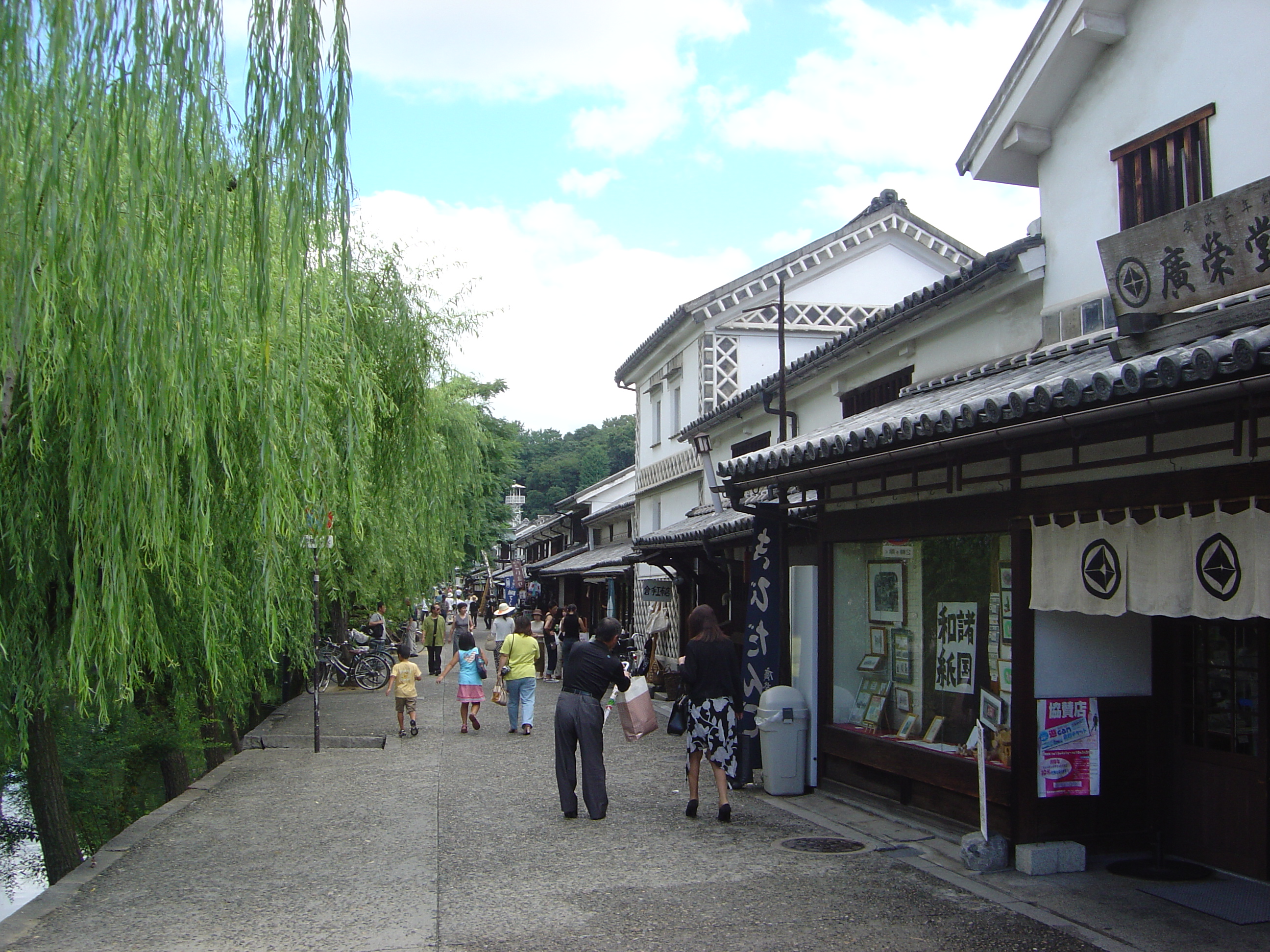
is a historic city located in western Okayama Prefecture, Japan, sitting on the Takahashi River, on the coast of the Inland Sea. As of March 31, 2017, the city has an estimated population of 483,576 and a population density of 1,400 persons per km². The total area is 355.63 km². History The modern city of Kurashiki was founded on April 1, 1928. Previously, it was the site of clashes between the Taira and Minamoto clans during the Heian period. It gradually developed as a river port. During the Edo period, it became an area directly controlled by the shogunate. Distinctive white-walled, black-tiled warehouses were built to store goods. During the Meiji Restoration (Japan's Industrial Revolution period), factories were built, including the Ohara Spinning Mill, which still stands as the nostalgic tourist attraction Ivy Square. On August 1, 2005, the town of Mabi (from Kibi District), and the town of Funao (from Asakuchi District) were merged with Kurashiki. Geography C ... [...More Info...] [...Related Items...] OR: [Wikipedia] [Google] [Baidu] |
Tamano, Okayama
is a city located in southern Okayama Prefecture, Japan. The city was officially founded on August 3, 1940. As of October 1, 2016, the city has an estimated population of 60,101 and a population density of 580 persons per km². The total area is 103.61 km². The JR Uno Line connects it to Okayama. Before the Great Seto Bridge was opened, there was a train ferry between Uno Port in Tamano and Takamatsu on Shikoku. Then, Tamano was the major entrance to Shikoku. Today there still exist many ferry lines between Uno port and Takamatsu, and also the islands of Shōdoshima and Naoshima. Its major industry is ship construction and metal refining, another important industry being fishing. One of the largest shipbuilding yards in Japan, operated by Mitsui Engineering & Shipbuilding, is located in Tamano. Geography Climate Tamano has a humid subtropical climate (Köppen climate classification ''Cfa''). The average annual temperature in Tamano is . The average annual rainfall is wi ... [...More Info...] [...Related Items...] OR: [Wikipedia] [Google] [Baidu] |
