|
Jacana Railway Station
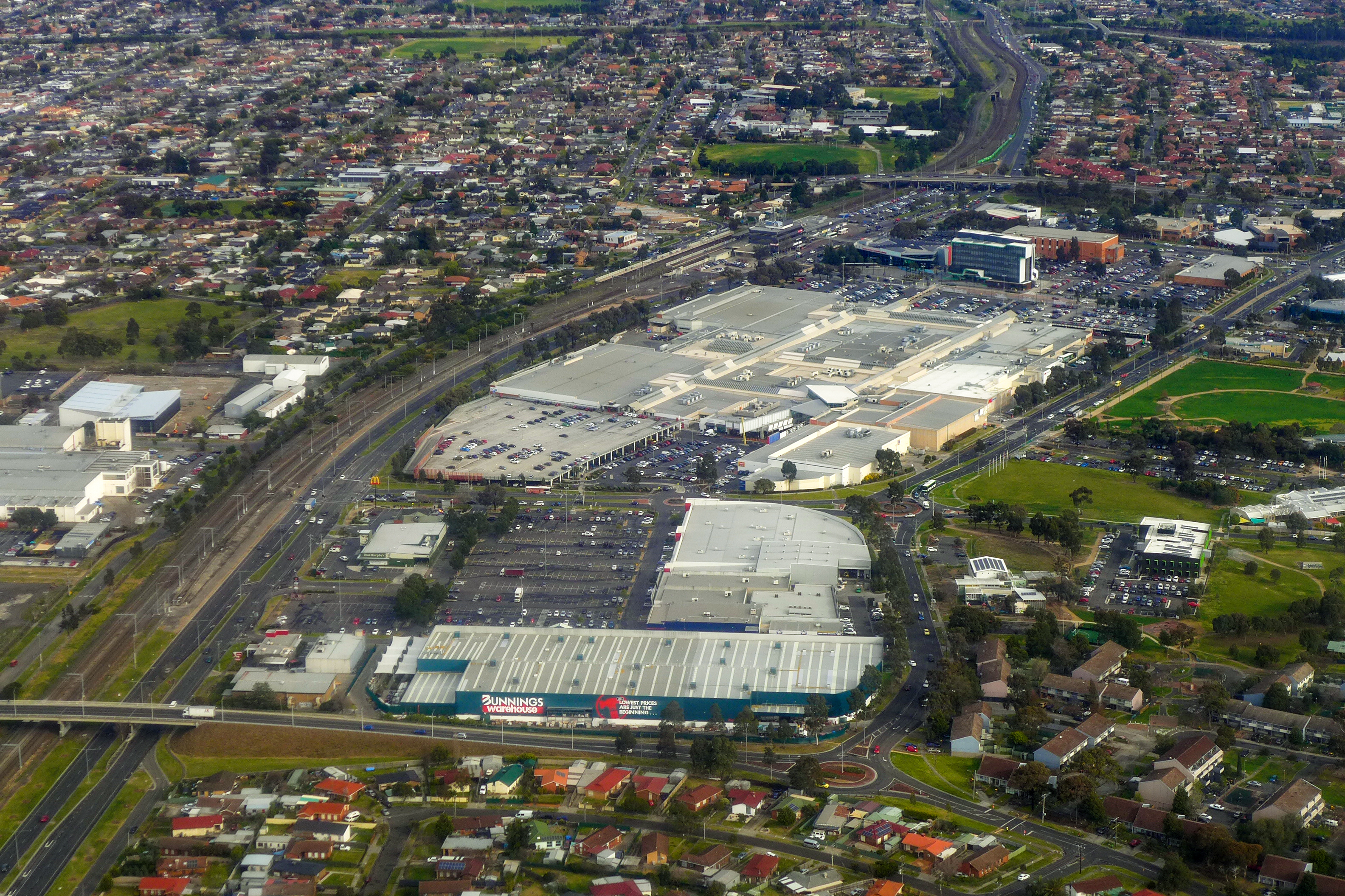
Jacana railway station is located on the Craigieburn line in Victoria, Australia. It serves the northern Melbourne suburb of Glenroy, and opened on 15 February 1959. The North East standard gauge line is located to the west of the station, crossing the broad gauge suburban lines via a flyover at the Craigieburn ( down) end of the station. The Albion-Jacana freight line joins the main suburban line after the flyover, and the Western Ring Road passes under the station via a short tunnel. History Jacana station opened on 15 February 1959, a number of years before the Housing Commission started construction of its nearby Jacana estate. The station, like the suburb itself, appears to get its name from a nearby street in neighbouring Broadmeadows. The railway past the site of Jacana originally opened in 1872, as part of the North East line to School House Lane. In July 1958, construction of the station began, with the slewing of the down line occurring on 13 September of ... [...More Info...] [...Related Items...] OR: [Wikipedia] [Google] [Baidu] |
Public Transport Victoria
Public Transport Victoria (PTV) is the brand name for public transport in the Australian state of Victoria, Australia, Victoria. It was the trading name of the Go Public Transport Development Authority (PTDA), a now-defunct statutory authority in Victoria, responsible for providing, coordinating, and promoting public transport. The PTV began operating on 2 April 2012, taking over many of the responsibilities previously exercised by the Director of Public Transport and the Department of Transport (Victoria, 2008–13), Department of Transport. It also took over the marketing of public transport in Victoria from Metlink and Metlink#Viclink, Viclink, as well as responsibility for the myki ticketing system, formerly handled by the Transport Ticketing Authority. PTV's functions were transferred to the Department of Transport (Victoria), Department of Transport on 1 July 2019. However, PTV continues to exist as the brand for public transport services in Victoria. Governance PTV is ... [...More Info...] [...Related Items...] OR: [Wikipedia] [Google] [Baidu] |
Sydney–Melbourne Rail Corridor
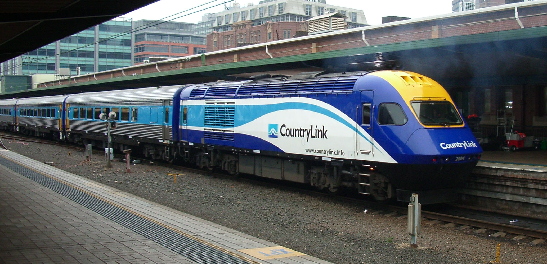
The Sydney–Melbourne rail corridor is an approximately standard gauge railway corridor that runs between Melbourne (Victoria) and Sydney (New South Wales), the two largest cities in Australia. Freight and passenger services operate along the route, such as the NSW TrainLink XPT passenger service. The XPT offers a day and night service in each direction. The railway corridor consists of NSW's Main Southern railway line from Sydney's Central Station to Albury Station – – together with Victoria's North East railway line – – from Albury station to Melbourne's Southern Cross station (via Tottenham). History In 1883, the Victorian Railways broad gauge line met the New South Wales Government Railways standard gauge line at Albury at a break-of-gauge. The two tracks were separated by a long island platform. It was not until 1962, with the opening of the North East standard gauge line in Victoria, that through services were possible between Melbourne and Sydney ... [...More Info...] [...Related Items...] OR: [Wikipedia] [Google] [Baidu] |
Australian Railway Historical Society
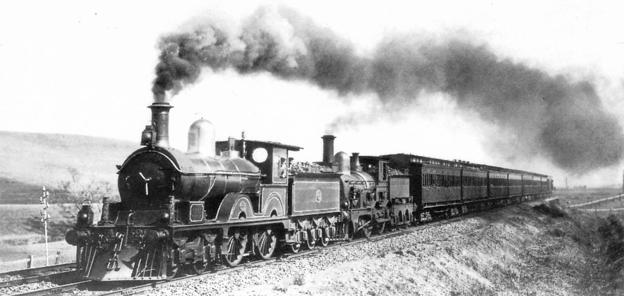
The Australian Railway Historical Society (ARHS) aims to foster an interest in the railways, and record and preserve many facets of railway operations. It had divisions in every state and the Australian Capital Territory, although the ACT division was wound up in 2016, along with the Victorian division in 2020. Since 1967, when each division incorporated, the state divisions have operated as separate entities. Each still trades under the ARHS brand, except in Western Australia, where the division is called Rail Heritage WA. Individual membership exceeds 2,500. Background The ARHS was founded in Sydney in 1933 as The Railway Circle, becoming the Australasian Railway and Locomotive Historical Society shortly afterwards. The society's name was changed to the present form in 1952. Divisions were later formed in most states, most of which established a railway museum, namely: *ACT - Canberra Railway Museum, Kingston *Queensland - Rosewood Railway Museum *South Australia - SteamRang ... [...More Info...] [...Related Items...] OR: [Wikipedia] [Google] [Baidu] |
Dysart Railway Station
Dysart was the name given to a sequence of railway locations on the North East railway beside the Goulburn River south of Seymour, Victoria, Australia. The others were School House Lane, Dysart Siding, Dysart Defence Sidings and Goulburn Junction. School House Lane School House Lane was the first terminus of the North East railway, opened as a temporary terminus as the girders for the Goulburn River bridge had not yet arrived from England. Located at 59 miles, 20 chains (95.4 kilometres) from Spencer Street it was open for public services between 18 April – 28 August 1872, and was provided with passenger and goods platforms, an engine shed, ash pit, water supply, and a derrick crane. A station building was provided, as well as a tent with brick chimney for the station master. After the line was extended into Seymour station, School House Lane was closed. Dysart Siding Dysart Siding was located on the Seymour side of the School House Lane level crossing, 94.9 kilometres fro ... [...More Info...] [...Related Items...] OR: [Wikipedia] [Google] [Baidu] |
North East Railway Line
The North East railway line is a railway line in Victoria, Australia. The line runs from Albury railway station in the border settlement of Albury–Wodonga to Southern Cross railway station on the western edge of the Melbourne central business district, serving the cities of Wangaratta and Seymour, and smaller towns in northeastern Victoria. The line is owned by VicTrack, but leased to, and maintained by, the Australian Rail Track Corporation, and forms part of the Sydney–Melbourne rail corridor. Unlike most other heavy rail lines in Victoria, the line is completely standard gauge, after works were carried out between 2008 and 2010. However, the broad gauge Tocumwal line runs parallel to the line between Seymour and Broadmeadows. History The Melbourne and Essendon Railway Company opened the first section of the Albury line, from North Melbourne to Essendon, in 1860. Following its takeover by the Victorian Government in 1867, the line was extended by 1872 to S ... [...More Info...] [...Related Items...] OR: [Wikipedia] [Google] [Baidu] |
Broadmeadows, Victoria
Broadmeadows is a suburb in Melbourne, Victoria, Australia, north of Melbourne's Central Business District, located within the City of Hume local government area. Broadmeadows recorded a population of 12,524 at the 2021 census. Broadmeadows is a sub-regional centre within the northern suburbs of Melbourne, and is often used as a reference for the suburbs around it, although this may be due to its former status as a municipality. History The Broadmeadows area, home to the Wurundjeri Aboriginal nation prior to European settlement, was settled by pastoralists in the 1840s. The original Broadmeadows (aka "Old Broady") is now known as Westmeadows, which lies to the west of the present Broadmeadows. The first Broadmeadows township was laid out by a Government survey in 1850. Ardlie Street was its commercial centre with a hotel (the Broadmeadows Hotel, now Westmeadows Tavern), the police station and the shire office (thDistrict Roads Board Building opened in 1866). Broadm ... [...More Info...] [...Related Items...] OR: [Wikipedia] [Google] [Baidu] |
Jacana, Victoria
Jacana is a suburb in Melbourne, Victoria, Australia, north of Melbourne's Central Business District, located within the City of Hume local government area. Jacana recorded a population of 2,187 at the 2021 census. Jacana is located north of the Western Ring Road, south of Johnstone Street and between the Craigieburn railway line and Moonee Ponds Creek. History The name Jacana was applied to an area between Broadmeadows and Glenroy in the 1950s by the Housing Commission of Victoria (HCV). The name comes from Jacana Avenue, to the east of the Craigieburn railway line (therefore, technically not ''in'' Jacana itself). Both the street and the suburb are slightly to the north of the Jacana railway station, which was built to service the suburb in 1959. However, Jacana as a built landscape did not spring fully formed under the aegis of the HCV. The streets in the southern section of Jacana were laid out in 1923, when 861 lots were offered for sale on land which had formerly ... [...More Info...] [...Related Items...] OR: [Wikipedia] [Google] [Baidu] |
Housing Commission Of Victoria
The Housing Commission of Victoria (often shortened to Housing Commission, especially colloquially) was a Victorian State Government body responsible for public housing in Victoria, Australia. It was established in 1938, and was abolished in 1984. The main activity of the commission was the construction tens of thousands of houses and flats in Melbourne and many country towns between the late 1940s and the early 70s, providing low rent housing for low income families. The most visible legacy of the commission is the 47 or so high-rise apartment towers in inner Melbourne, all built using the same pre-cast concrete panel technology. History Establishment Through the 1920s and early 1930s, a campaign highlighting the dreadful conditions and moral dangers of the 'slums' of inner city Melbourne was led by social reformer Oswald Barnett. During the depression Oswald Barnett wrote a first major broadside entitled "The unsuspected slums, an illustrated summary of a thesis submitted to ... [...More Info...] [...Related Items...] OR: [Wikipedia] [Google] [Baidu] |
Tunnel
A tunnel is an underground passageway, dug through surrounding soil, earth or rock, and enclosed except for the entrance and exit, commonly at each end. A pipeline is not a tunnel, though some recent tunnels have used immersed tube construction techniques rather than traditional tunnel boring methods. A tunnel may be for foot or vehicular road traffic, for rail traffic, or for a canal. The central portions of a rapid transit network are usually in the tunnel. Some tunnels are used as sewers or aqueducts to supply water for consumption or for hydroelectric stations. Utility tunnels are used for routing steam, chilled water, electrical power or telecommunication cables, as well as connecting buildings for convenient passage of people and equipment. Secret tunnels are built for military purposes, or by civilians for smuggling of weapons, contraband, or people. Special tunnels, such as wildlife crossings, are built to allow wildlife to cross human-made barriers safely. ... [...More Info...] [...Related Items...] OR: [Wikipedia] [Google] [Baidu] |
Western Ring Road
The M80 Ring Road (also known as simply the Ring Road or by the name of its constituent parts: Western Ring Road and Metropolitan Ring Road) is a currently incomplete urban freeway ring road around Melbourne, Australia. This article will deal with the entire length of the corridor for sake of completion, as well to avoid confusion between declarations. The ring road connects Melbourne's western suburbs and northern suburbs to other Victorian urban and rural freeways (the West Gate and Princes Freeways, Western Freeway, Calder Freeway, Tullamarine Freeway and Hume Freeway), and also relieves freight traffic from Sydney Road, Pascoe Vale Road and Geelong Road. With connections to every major interstate and regional freeways, it has encouraged both industrial and residential growth in Melbourne's western suburbs. A series of major upgrades along the entire route commenced in 2009, including widening and a Freeway Management System; the most recent section between Sydney and ... [...More Info...] [...Related Items...] OR: [Wikipedia] [Google] [Baidu] |
Rail Directions
Railroad directions are used to describe train directions on rail systems. The terms used may be derived from such sources as compass directions, altitude directions, or other directions. However, the railroad directions frequently vary from the actual directions, so that, for example, a "northbound" train may really be headed west over some segments of its trip, or a train going "down" may actually be increasing its elevation. Railroad directions are often specific to system, country, or region. Radial directions Many rail systems use the concept of a center (usually a major city) to define rail directions. Up and down In British practice, railway directions are usually described as "up" and "down", with "up" being towards a major location. This convention is applied not only to the trains and the tracks, but also to items of lineside equipment and to areas near a track. Since British trains run on the left, the "up" side of a line is usually on the left when proceeding in the "u ... [...More Info...] [...Related Items...] OR: [Wikipedia] [Google] [Baidu] |


