|
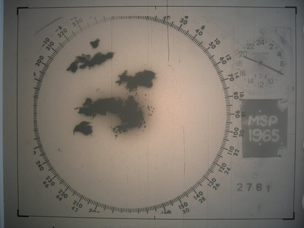
J. S. Marshall Radar Observatory
The J.S. Marshall Radar Observatory (or MRO) is a McGill University facility in Sainte-Anne-de-Bellevue, Quebec, Canada housing several weather radars and other meteorological sensors, many of them running around the clock. It is one of the components of the McGill Atmospheric and Oceanic Sciences department where students in remote sensing perform their research. The main radar was part of the Canadian weather radar network, on contract with the Meteorological Service of Canada, as well as a research device, up to October 3, 2018. Purpose The main focus of the MRO is teaching and research. The group upgrades and designs radars, develops new ways to process the radar signals and use the resulting data, and performs research on the physics of weather events and their prediction. Results of the research are published in scientific journals and transferred for use by the weather office. History In 1862, a first Weather Observatory was built by McGill University. The instruments wer ... [...More Info...] [...Related Items...] OR: [Wikipedia] [Google] [Baidu] |
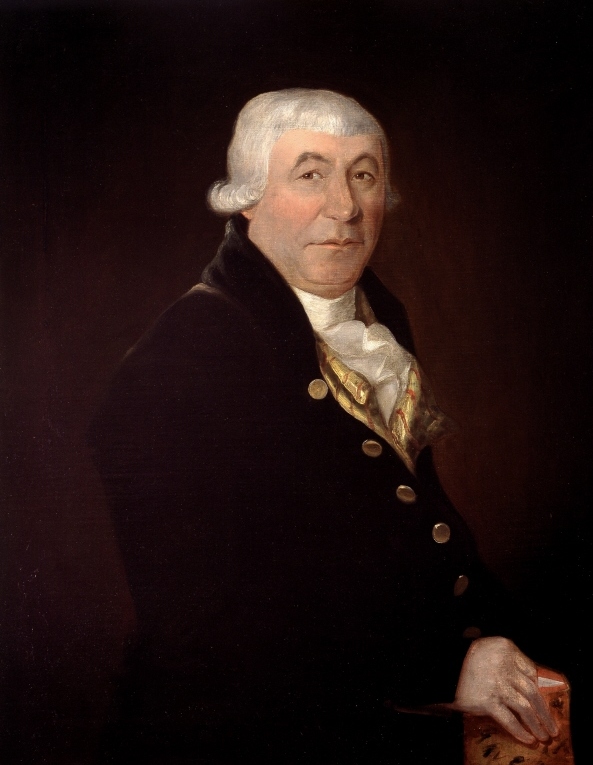
McGill University
McGill University (french: link=no, Université McGill) is an English-language public research university located in Montreal, Quebec, Canada. Founded in 1821 by royal charter granted by King George IV,Frost, Stanley Brice. ''McGill University, Vol. I. For the Advancement of Learning, 1801–1895.'' McGill-Queen's University Press, 1980. the university bears the name of James McGill, a Scottish merchant whose bequest in 1813 formed the university's precursor, University of McGill College (or simply, McGill College); the name was officially changed to McGill University in 1885. McGill's main campus is on the slope of Mount Royal in downtown Montreal in the borough of Ville-Marie, with a second campus situated in Sainte-Anne-de-Bellevue, west of the main campus on Montreal Island. The university is one of two members of the Association of American Universities located outside the United States, alongside the University of Toronto, and is the only Canadian member of the Glob ... [...More Info...] [...Related Items...] OR: [Wikipedia] [Google] [Baidu] |
Environment Canada
Environment and Climate Change Canada (ECCC; french: Environnement et Changement climatique Canada),Environment and Climate Change Canada is the applied title under the Federal Identity Program; the legal title is Department of the Environment (). is the department of the Government of Canada responsible for coordinating environmental policies and programs, as well as preserving and enhancing the natural environment and renewable resources. It is also colloquially known by its former name, Environment Canada (EC; french: Environnement Canada, links=no). The minister of environment and climate change has been Steven Guilbeault since October 26, 2021; Environment and Climate Change Canada supports the minister's mandate to: "preserve and enhance the quality of the natural environment, including water, air, soil, flora and fauna; conserve Canada's renewable resources; conserve and protect Canada's water resources; forecast daily weather conditions and warnings, and provide detaile ... [...More Info...] [...Related Items...] OR: [Wikipedia] [Google] [Baidu] |
Weather Radars
Weather radar, also called weather surveillance radar (WSR) and Doppler weather radar, is a type of radar used to locate precipitation (meteorology), precipitation, calculate its motion, and estimate its type (rain, snow, hail etc.). Modern weather radars are mostly pulse-Doppler radars, capable of detecting the motion of rain droplets in addition to the intensity of the precipitation. Both types of data can be analyzed to determine the structure of storms and their potential to cause severe weather. During Radar in World War II, World War II, radar operators discovered that weather was causing echoes on their screen, masking potential enemy targets. Techniques were developed to filter them, but scientists began to study the phenomenon. Soon after the war, military surplus, surplus radars were used to detect precipitation. Since then, weather radar has evolved on its own and is now used by national weather services, research departments in universities, and in television station ... [...More Info...] [...Related Items...] OR: [Wikipedia] [Google] [Baidu] |
Ceilometer
A ceilometer is a device that uses a laser or other light source to determine the height of a cloud ceiling or cloud base. Ceilometers can also be used to measure the aerosol concentration within the atmosphere. A ceilometer that uses laser light is a type of atmospheric lidar (light detection and ranging) instrument. Optical drum ceilometer An optical drum ceilometer uses triangulation to determine the height of a spot of light projected onto the base of the cloud. It consists essentially of a rotating projector, a detector, and a recorder. The projector emits an intense beam of light above into the sky at an angle that varies with the rotation. The detector, which is located at a fixed distance from the projector, uses a photodetector pointing vertically. When it detects the projected light return from the cloud base, the instrument notes the angle and the calculation gives the height of clouds. Laser ceilometer A laser ceilometer consists of a vertically pointing laser and a r ... [...More Info...] [...Related Items...] OR: [Wikipedia] [Google] [Baidu] |
Wind Profiler
A wind profiler is a type of weather observing equipment that uses radar or sound waves ( SODAR) to detect the wind speed and direction at various elevations above the ground. Readings are made at each kilometer above sea level, up to the extent of the troposphere (i.e., between 8 and 17 km above mean sea level). Above this level there is inadequate water vapor present to produce a radar "bounce." The data synthesized from wind direction and speed is very useful to meteorological forecasting and timely reporting for flight planning. A twelve-hour history of data is available through NOAA websites. Principle In a typical implementation, the radar or sodar can sample along each of five beams: one is aimed vertically to measure vertical velocity, and four are tilted off vertical and oriented orthogonal to one another to measure the horizontal components of the air's motion. A profiler's ability to measure winds is based on the assumption that the turbulent eddies that induce sca ... [...More Info...] [...Related Items...] OR: [Wikipedia] [Google] [Baidu] |
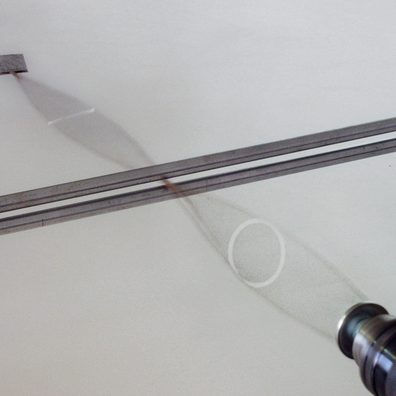
Polarization (waves)
Polarization (also polarisation) is a property applying to transverse waves that specifies the geometrical orientation of the oscillations. In a transverse wave, the direction of the oscillation is perpendicular to the direction of motion of the wave. A simple example of a polarized transverse wave is vibrations traveling along a taut string ''(see image)''; for example, in a musical instrument like a guitar string. Depending on how the string is plucked, the vibrations can be in a vertical direction, horizontal direction, or at any angle perpendicular to the string. In contrast, in longitudinal waves, such as sound waves in a liquid or gas, the displacement of the particles in the oscillation is always in the direction of propagation, so these waves do not exhibit polarization. Transverse waves that exhibit polarization include electromagnetic waves such as light and radio waves, gravitational waves, and transverse sound waves (shear waves) in solids. An electromagnetic wa ... [...More Info...] [...Related Items...] OR: [Wikipedia] [Google] [Baidu] |
Weather Radar
Weather radar, also called weather surveillance radar (WSR) and Doppler weather radar, is a type of radar used to locate precipitation, calculate its motion, and estimate its type (rain, snow, hail etc.). Modern weather radars are mostly pulse-Doppler radars, capable of detecting the motion of rain droplets in addition to the intensity of the precipitation. Both types of data can be analyzed to determine the structure of storms and their potential to cause severe weather. During World War II, radar operators discovered that weather was causing echoes on their screen, masking potential enemy targets. Techniques were developed to filter them, but scientists began to study the phenomenon. Soon after the war, surplus radars were used to detect precipitation. Since then, weather radar has evolved on its own and is now used by national weather services, research departments in universities, and in television stations' weather departments. Raw images are routinely used and speciali ... [...More Info...] [...Related Items...] OR: [Wikipedia] [Google] [Baidu] |
Precipitation (meteorology)
In meteorology, precipitation is any product of the condensation of atmospheric water vapor that falls under gravitational pull from clouds. The main forms of precipitation include drizzle, rain, sleet, snow, ice pellets, graupel and hail. Precipitation occurs when a portion of the atmosphere becomes saturated with water vapor (reaching 100% relative humidity), so that the water condenses and "precipitates" or falls. Thus, fog and mist are not precipitation but colloids, because the water vapor does not condense sufficiently to precipitate. Two processes, possibly acting together, can lead to air becoming saturated: cooling the air or adding water vapor to the air. Precipitation forms as smaller droplets coalesce via collision with other rain drops or ice crystals within a cloud. Short, intense periods of rain in scattered locations are called showers. Moisture that is lifted or otherwise forced to rise over a layer of sub-freezing air at the surface may be condense ... [...More Info...] [...Related Items...] OR: [Wikipedia] [Google] [Baidu] |
Klystron
A klystron is a specialized linear-beam vacuum tube, invented in 1937 by American electrical engineers Russell and Sigurd Varian,Pond, Norman H. "The Tube Guys". Russ Cochran, 2008 p.31-40 which is used as an amplifier for high radio frequencies, from UHF up into the microwave range. Low-power klystrons are used as oscillators in terrestrial microwave relay communications links, while high-power klystrons are used as output tubes in UHF television transmitters, satellite communication, radar transmitters, and to generate the drive power for modern particle accelerators. In a klystron, an electron beam interacts with radio waves as it passes through resonant cavities, metal boxes along the length of a tube. The electron beam first passes through a cavity to which the input signal is applied. The energy of the electron beam amplifies the signal, and the amplified signal is taken from a cavity at the other end of the tube. The output signal can be coupled back into the input cavi ... [...More Info...] [...Related Items...] OR: [Wikipedia] [Google] [Baidu] |
ICAO
The International Civil Aviation Organization (ICAO, ) is a specialized agency of the United Nations that coordinates the principles and techniques of international air navigation, and fosters the planning and development of international air transport to ensure safe and orderly growth. ICAO headquarters are located in the '' Quartier International'' of Montreal, Quebec, Canada. The ICAO Council adopts standards and recommended practices concerning air navigation, its infrastructure, flight inspection, prevention of unlawful interference, and facilitation of border-crossing procedures for international civil aviation. ICAO defines the protocols for air accident investigation that are followed by transport safety authorities in countries signatory to the Chicago Convention on International Civil Aviation. The Air Navigation Commission (ANC) is the technical body within ICAO. The commission is composed of 19 commissioners, nominated by the ICAO's contracting states and appo ... [...More Info...] [...Related Items...] OR: [Wikipedia] [Google] [Baidu] |
Blainville, Quebec
Blainville is a suburb of Montreal located on the North Shore in southwestern Quebec, Canada. Blainville forms part of the Thérèse-De Blainville Regional County Municipality within the Laurentides region of Quebec. The town sits at the foot of the Laurentian Mountains and is located northwest of downtown Montreal. History Louis de Buade de Frontenac granted a vast territory that includes present-day Blainville to elite members of society, lords ("seigneurs") or ''seigneurs'', to promote the development of New France in 1683. The ''Seigneurie des Mille Îles'' (Lordship of the Thousand Islands) encompassed over along the northern shores of the Mille Îles River. In 1792, a disagreement between Seigneur Hertel and Seigneuresse Lamarque resulted in a division of the seigneurial territory along what was then-called the Great Line (present-day Boulevard du Curé-Labelle or Quebec Route 117). Blainville is named for the third lord of the seigneurie, Jean-Baptiste Céloron de Bla ... [...More Info...] [...Related Items...] OR: [Wikipedia] [Google] [Baidu] |
Montreal
Montreal ( ; officially Montréal, ) is the List of the largest municipalities in Canada by population, second-most populous city in Canada and List of towns in Quebec, most populous city in the Provinces and territories of Canada, Canadian province of Quebec. Founded in 1642 as ''Fort Ville-Marie, Ville-Marie'', or "City of Mary", it is named after Mount Royal, the triple-peaked hill around which the early city of Ville-Marie is built. The city is centred on the Island of Montreal, which obtained its name from the same origin as the city, and a few much smaller peripheral islands, the largest of which is Île Bizard. The city is east of the national capital Ottawa, and southwest of the provincial capital, Quebec City. As of 2021, the city had a population of 1,762,949, and a Census Metropolitan Area#Census metropolitan areas, metropolitan population of 4,291,732, making it the List of the largest municipalities in Canada by population, second-largest city, and List of cen ... [...More Info...] [...Related Items...] OR: [Wikipedia] [Google] [Baidu] |


