|
Iran Gas Trunkline
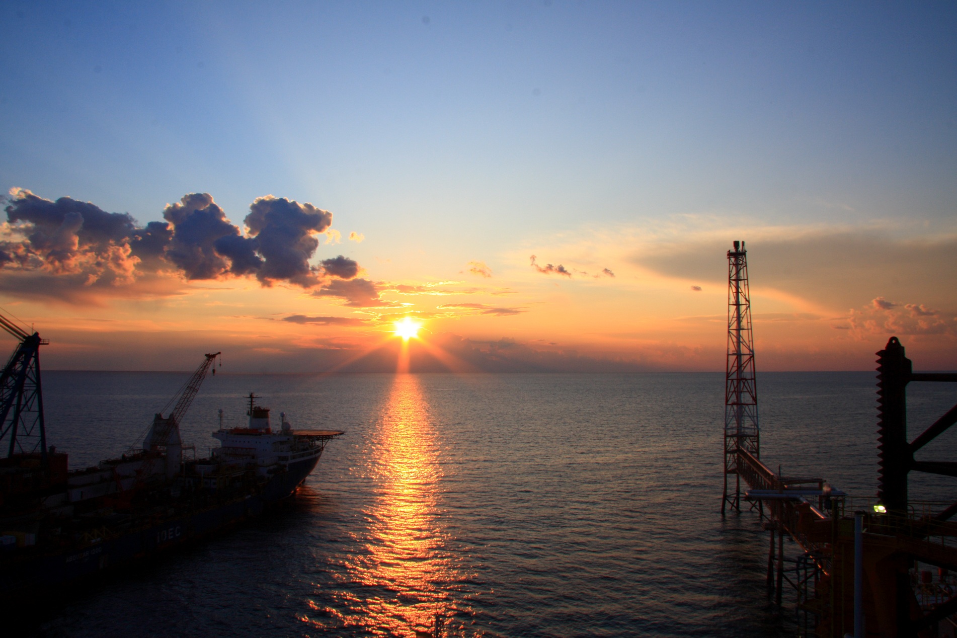
The Iran Gas Trunkline (IGAT) is a series of large diameter pipelines constructed from gas refineries in the south of Iran (Khuzestan and Bushehr provinces) in order to transfer natural gas to consumption centers across the country. As of 2008, there are five trunklines in operation, two under construction and two under planning. History IGAT1 was completed in October 1970, supplying gas to the Southern Caucasus republics of the Soviet Union. In 1975 the National Iranian Gas Company concluded agreements with Ruhrgas, Gaz de France, the Soviet Union, and Austria's OMV, to supply gas to Western Europe via a proposed IGAT2. Under the arrangement, Iran was to supply additional gas to the Soviet Union, while the Soviet Union was to supply gas to Czechoslovakia from its own gas fields in Siberia. Construction of IGAT2 was halted following the Iranian Revolution. Main transmission lines * IGAT1, in diameter, was constructed between Bid Boland Refinery in Khūzestān Province an ... [...More Info...] [...Related Items...] OR: [Wikipedia] [Google] [Baidu] |
South Pars / North Dome Gas-Condensate Field
The South Pars/North Dome field is a natural-gas condensate field located in the Persian Gulf. It is by far the world's largest natural gas field, IEA, World Energy Outlook 2008 - Chapter 12 - Natural gas resources and production prospects, p.298 with ownership of the field shared between Iran and Qatar. According to the International Energy Agency (IEA), the field holds an estimated of in-situ natural gas and some of natural gas condensates. On the list of natural gas fields it has almost as much recoverable reserves as all the other fields combined. It has significant geostrategic influence. This gas field covers an area of , of which (South Pars) is in Iranian territorial waters and (North Dome) is in Qatari territorial waters. Field geology The field is below the seabed at a water depth of , and consists of two independent gas-bearing formations: Kangan (Triassic) and Upper Dalan (Permian). Each formation is divided into two different reservoir layers, separated by imp ... [...More Info...] [...Related Items...] OR: [Wikipedia] [Google] [Baidu] |
Kish Gas Field
Kish gas Field is a giant gas field close to Kish Island in the Persian Gulf. It is one of the NIOC Recent Discoveries which was discovered in 2006 and holds of gas in place of which is recoverable. The field also holds at least of condensate of which at least are recoverable. The field gas is sweet, it contains 50-80 PPM hydrogen sulphide. The field has the potential of producing 4000 million cubic meters of natural gas per day. In February 2010, an Iranian consortium headed by Bank Mellat signed a $10-billion agreement with the National Iranian Oil Company (NIOC) to develop the Kish gas field. The gas field will produce 85 million cubic meters of natural gas per day See also *World Largest Gas Fields *NIOC Recent Discoveries *Iran Natural Gas Reserves *North Pars *South Pars Gas Field *Golshan Gas Field *Ferdowsi Gas Field The Ferdowsi Gas Field is one of the NIOC Recent Discoveries, located at approximately 190 kilometers southeast of Bushehr, 85 kilometers off the c ... [...More Info...] [...Related Items...] OR: [Wikipedia] [Google] [Baidu] |
North Pars
North Pars Gas Field ( fa, میدان گازی پارس شمالی) is one of the biggest independent gas fields of the world. This field which was discovered in 1967 is located some 120 kilometers south east of Bushehr province in water depths of 2 to 30 meters in the Persian Gulf. In 1963, exploration activities started in this field with carrying out seismic tests and the first exploration well was completed in 1967. The total volume of the gas in place of this field is about and the recoverable volume of sour gas is approximately . Filed gas is lean and sour, its Condensate Gas Ratio is per 1000 cu ft and it contains around 6,000 ppm H2S and 5% . The first design to operate this field was approved in 1977 and after drilling 17 wells and installation of 26 maritime platforms and due to commencement of Islamic revolution and the imposed war the project was stopped. At present, final studies for development of this field - 4 phases- equivalent to is under implementation. ... [...More Info...] [...Related Items...] OR: [Wikipedia] [Google] [Baidu] |
South Pars
The South Pars/North Dome field is a natural-gas condensate field located in the Persian Gulf. It is by far the world's largest natural gas field, IEA, World Energy Outlook 2008 - Chapter 12 - Natural gas resources and production prospects, p.298 with ownership of the field shared between Iran and Qatar. According to the International Energy Agency (IEA), the field holds an estimated of in-situ natural gas and some of natural gas condensates. On the list of natural gas fields it has almost as much recoverable reserves as all the other fields combined. It has significant geostrategic influence. This gas field covers an area of , of which (South Pars) is in Iranian territorial waters and (North Dome) is in Qatari territorial waters. Field geology The field is below the seabed at a water depth of , and consists of two independent gas-bearing formations: Kangan (Triassic) and Upper Dalan (Permian). Each formation is divided into two different reservoir layers, separated by impe ... [...More Info...] [...Related Items...] OR: [Wikipedia] [Google] [Baidu] |
Iran Natural Gas Reserves
According to the Iran Petroleum Ministry, the proved natural gas reserves of Iran are about or about 17.8% of world's total reserves, of which 33% are as associated gas and 67% is in non associated gas fields. It has the world's second largest reserves after Russia. As it takes approximately of gas to equal the energy content of of oil, Iran's gas reserves represent the equivalent of about of oil. The US Energy Information Administration estimated Iran's proved gas reserves as of 2016 to be , rendering it second in the world. Iran is one of the most hydrocarbon-rich areas in the world. Since the nation's first oil well in 1908, 145 hydrocarbon fields and 297 oil and gas reservoirs have been discovered in Iran, with many fields having multiple pay zones. A total of 102 fields are oil and the remaining 43 are gas, and there are 205 oil reservoirs and 92 natural gas reservoirs. According to Iran Energy Balance Sheet (2009, in Persian), 78 of these fields are currently acti ... [...More Info...] [...Related Items...] OR: [Wikipedia] [Google] [Baidu] |
NIOC Recent Discoveries
Proven oil reserves in Iran, according to its government, rank fourth largest in the world at approximately as of 2013, although it ranks third if Canadian reserves of unconventional oil are excluded. This is roughly 10% of the world's total proven petroleum reserves. At 2020 rates of production, Iran's oil reserves would last 145 years if no new oil was found. According to NIOC, Iran recoverable liquid hydrocarbon reserves at the end of 2006 was 138.4 billion barrels. Apart from these considerable reserves, from the outset of oil industry in Iran in 1908 to the end of 2007, Iran produced some 61 billion barrels of oil. Iran has more than a century of history in exploration and production; the first successful exploration well was Masjid Suleiman-1 on May 26, 1908. Since then, based on the latest oil and gas reports, 145 hydrocarbon fields and 297 oil and gas reservoirs have been discovered in Iran, with many fields having multiple pay zones. A total of 102 fields are oil and t ... [...More Info...] [...Related Items...] OR: [Wikipedia] [Google] [Baidu] |
Azerbaijan (Iran)
Azerbaijan or Azarbaijan ( fa, آذربایجان, ''Āzarbāijān'' ; az-Arab, آذربایجان, ''Āzerbāyjān'' ), also known as Iranian Azerbaijan, is a historical region in northwestern Iran that borders Iraq, Turkey, the Nakhchivan Autonomous Republic, Armenia, and the Republic of Azerbaijan. Iranian Azerbaijan includes three northwestern Iranian provinces: West Azerbaijan, East Azerbaijan and Ardabil. Some authors also include Zanjan in this list, some in a geographical sense, others only culturally (due to the predominance of the Azeri Turkic population there). The region is mostly populated by Azerbaijanis, with minority populations of Kurds, Armenians, Tats, Talysh, Assyrians and Persians. Iranian Azerbaijan is the land originally and historically called Azerbaijan; the Azerbaijani-populated Republic of Azerbaijan appropriated the name of the neighbouring Azerbaijani-populated region in Iran during the 20th century. Historic Azerbaijan was called ''Atropa ... [...More Info...] [...Related Items...] OR: [Wikipedia] [Google] [Baidu] |
Kurdistan
Kurdistan ( ku, کوردستان ,Kurdistan ; lit. "land of the Kurds") or Greater Kurdistan is a roughly defined geo-cultural territory in Western Asia wherein the Kurds form a prominent majority population and the Kurdish culture, Kurdish languages, languages, and national identity have historically been based. Geographically, Kurdistan roughly encompasses the northwestern Zagros Mountains, Zagros and the eastern Taurus Mountains, Taurus mountain ranges. Kurdistan generally comprises the following four regions: southeastern Turkey (Turkish Kurdistan, Northern Kurdistan), northern Iraq (Iraqi Kurdistan, Southern Kurdistan), northwestern Iran (Iranian Kurdistan, Eastern Kurdistan), and northern Syria (Syrian Kurdistan, Western Kurdistan). Some definitions also include parts of southern South Caucasus, Transcaucasia. Certain Kurdish nationalism, Kurdish nationalist organizations seek to create an independent nation state consisting of some or all of these areas with a Kurdish ma ... [...More Info...] [...Related Items...] OR: [Wikipedia] [Google] [Baidu] |


_Azerbaijan.png)
