|
Iowa Highway 17
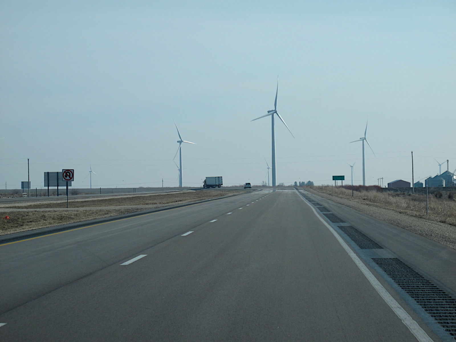
Iowa Highway 17 (Iowa 17) is a north–south state highway that traverses primarily rural areas in central and north-central Iowa. Iowa 17's southern end is near Granger in Dallas County at a freeway interchange with Iowa Highway 141, and its northern terminus is at an intersection with U.S. Highway 18 at the Kossuth- Hancock county line near Wesley. Route description Iowa Highway 17 begins at a trumpet interchange with Iowa Highway 141 near Granger. It goes north to Madrid, where it intersects Iowa Highway 210. It continues north through Luther and then intersects U.S. Highway 30 east of Boone. It proceeds north from U.S. 30 and has a one-mile (1.6 km) overlap with Iowa Highway 175 in Stanhope. It goes north, then turns northwest to go towards Webster City, and intersects U.S. Highway 20 there. They overlap going west from Webster City, then Iowa 17 turns north to go through Eagle Grove. It continues north to Goldfield, where it intersects Iowa Highway 3. Iowa 17 ... [...More Info...] [...Related Items...] OR: [Wikipedia] [Google] [Baidu] |
Granger, Iowa
Granger is a city in Dallas and Polk counties in the U.S. state of Iowa. The population was 1,654 at the time of the 2020 census, up 184% from 583 in 2000. It is part of the Des Moines–West Des Moines Metropolitan Statistical Area. Geography Granger is located at (41.761672, -93.823921). According to the United States Census Bureau, the city has a total area of , all land. Beaver Creek flows near the town site. Demographics 2010 census As of the census of 2010, there were 1,244 people, 461 households, and 330 families living in the city. The population density was . There were 490 housing units at an average density of . The racial makeup of the city was 98.5% White, 0.3% African American, 0.4% Asian, 0.2% from other races, and 0.6% from two or more races. Hispanic or Latino of any race were 1.5% of the population. There were 461 households, of which 44.3% had children under the age of 18 living with them, 55.7% were married couples living together, 11.5% had a fema ... [...More Info...] [...Related Items...] OR: [Wikipedia] [Google] [Baidu] |
Luther, Iowa
Luther is a city in Worth Township, Boone County, Iowa, United States. The population was 152 at the time of the 2020 census. It is part of the Boone, Iowa Micropolitan Statistical Area, which is a part of the larger Ames-Boone, Iowa Combined Statistical Area. History A post office has been in operation at Luther since 1883. Luther was laid out as a town in 1893. The community was named after Clark Luther, a local merchant. On September 11, 2014, the Luther City Council accepted a petition from 58 residents asking that the city be discontinued. There are several steps in the discontinuation process, including approval or disapproval of the petition by the City Development Board. If the Board approves, a public referendum on discontinuation could be held in 2015. The discontinuance failed and the city continues to exist today. Since 2015 several new businesses have sprung up as well as a major expansion by the local co-op. Geography Luther is located at (41.967125, -93.818 ... [...More Info...] [...Related Items...] OR: [Wikipedia] [Google] [Baidu] |
Knoxville, Iowa
Knoxville is a city in Marion County, Iowa, United States. The population was 7,595 at the time of the 2020 census, an increase from 7,313 in the 2010 census. It is the county seat of Marion County. Knoxville is home of the National Sprint Car Hall of Fame & Museum, located next to the famous Knoxville Raceway dirt track. History The site for the future county seat of Marion County was selected because it was within a mile of the geographic center of the county, reasonably level and near a good source of timber. Knoxville is located in south-central Iowa, some 35 miles southeast of Des Moines. The area was originally inhabited by Native Americans of the Sac and Fox tribes. At that time, prairie grass covered the countryside at heights of 8 to 10 feet. In 1835, Dragoons first explored the Des Moines River valley through this area. In 1842, the Sac and Fox Indians signed a treaty to sell lands in central Iowa to the new settlers known as the New Purchase of 1842. By 1843, settl ... [...More Info...] [...Related Items...] OR: [Wikipedia] [Google] [Baidu] |
US 18 (IA)
U.S. Highway 18 (US 18) is the northernmost east–west U.S. Highway in the state of Iowa. As with all state highways in Iowa, it is maintained by the Iowa Department of Transportation (Iowa DOT). It enters the state by crossing the Big Sioux River between Inwood and Canton, South Dakota. It travels and connects Spencer, Mason City and Charles City. The highway leaves the state via the Marquette–Joliet Bridge over the Mississippi River at Marquette. Prior to becoming a U.S. Highway, the route US 18 follows was known as Primary Road No. 19 and the National Parks Pike. Route description US 18 begins at the Big Sioux River approximately east of Canton, South Dakota. It runs easterly through rural Lyon County, in the northwestern corner of the state. At Inwood it meets Iowa 182, which provides access to Sioux Falls, South Dakota, via Iowa 9 and South Dakota Highway 42. US 18 turns south at Inwood and heads into Sioux County. The ... [...More Info...] [...Related Items...] OR: [Wikipedia] [Google] [Baidu] |
US 30 (IA)
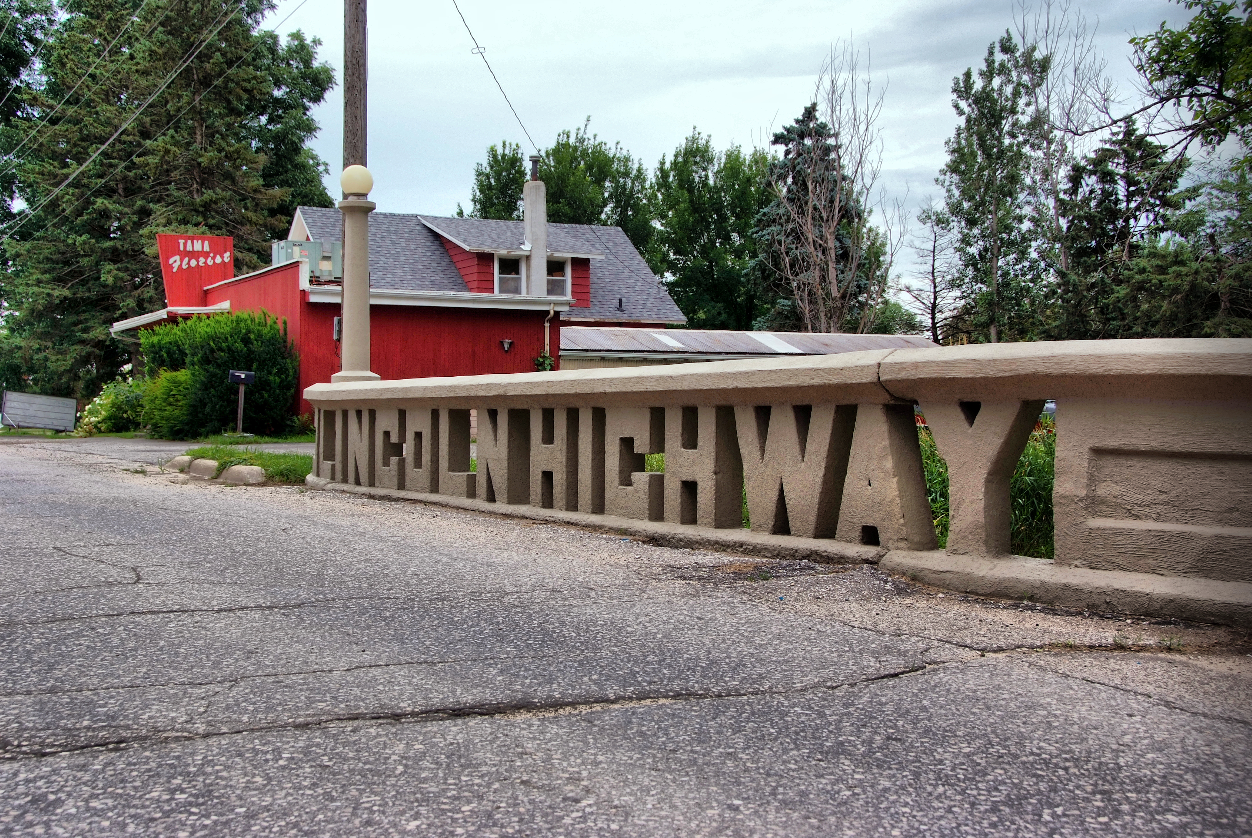
U.S. Highway 30 (US 30) is a major east–west U.S. Highway which spans across the state of Iowa. It is the longest primary highway in the state and is maintained by the Iowa Department of Transportation (Iowa DOT). The route in Iowa begins at the Missouri River crossing at Blair, Nebraska, and ends at the Mississippi River crossing at Clinton, Iowa. Along the way, it serves Denison and Carroll in western Iowa, Boone, Ames, and Marshalltown in central Iowa, and Tama, Cedar Rapids, and DeWitt in eastern Iowa. Cutting across the central portion of the state, US 30 runs within close proximity of the Union Pacific Railroad's Overland Route for its entire length. US 30 was conceived as a part of the Lincoln Highway, the first transcontinental highway in the United States. A route through Iowa was chosen because of the important link between Omaha, Nebraska, and Chicago, Illinois. As the U.S. Highway System came into being in the 1920s, and the Lincoln Highw ... [...More Info...] [...Related Items...] OR: [Wikipedia] [Google] [Baidu] |
Des Moines, Iowa
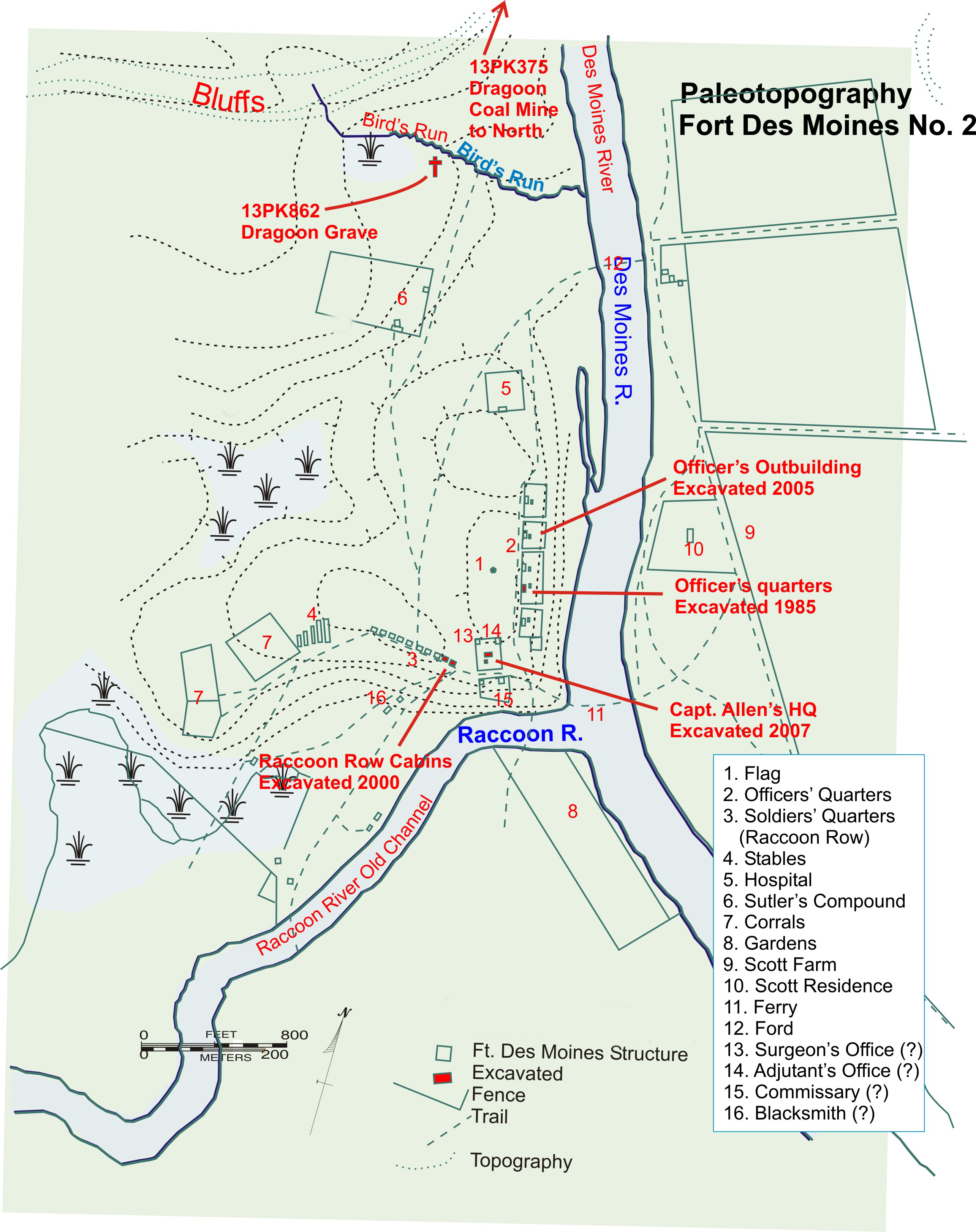
Des Moines () is the capital and the most populous city in the U.S. state of Iowa. It is also the county seat of Polk County. A small part of the city extends into Warren County. It was incorporated on September 22, 1851, as Fort Des Moines, which was shortened to "Des Moines" in 1857. It is located on, and named after, the Des Moines River, which likely was adapted from the early French name, ''Rivière des Moines,'' meaning "River of the Monks". The city's population was 214,133 as of the 2020 census. The six-county metropolitan area is ranked 83rd in terms of population in the United States with 699,292 residents according to the 2019 estimate by the United States Census Bureau, and is the largest metropolitan area fully located within the state. Des Moines is a major center of the US insurance industry and has a sizable financial services and publishing business base. The city was credited as the "number one spot for U.S. insurance companies" in a ''Business Wire'' articl ... [...More Info...] [...Related Items...] OR: [Wikipedia] [Google] [Baidu] |
Iowa Highway 4
Iowa Highway 4 (Iowa 4) is a state highway which runs from north to south across the state of Iowa. It is long, beginning at an intersection with Iowa Highway 44 in Panora and ending at the Minnesota state line north of Estherville. It continues north as Minnesota State Highway 4. The route was created on January 1, 1969, when several route designations were changed to match other states' route numbers. Before 1969, Iowa 4 was known as Iowa 17. Route description Iowa Highway 4 begins at Panora at Iowa 44. It goes north and is briefly overlapped with Iowa Highway 141 north of Yale. It continues north until Jefferson, where it intersects U.S. Highway 30 (US 30). It goes north, then turns west to enter Churdan, then turns north until meeting Iowa 175. At Iowa 175, the highway turns west, with Iowa 175, passing through Lohrville. It turns north west of Lohrville, and continues north through Rockwell City, where it intersects US 20. After cross ... [...More Info...] [...Related Items...] OR: [Wikipedia] [Google] [Baidu] |
Corwith, Iowa
Corwith is a city in Hancock County, Iowa, United States. The population was 266 at the time of the 2020 census. History Corwith got its start in the year 1880, following construction of the Minneapolis & St. Louis Railroad through that territory. It burned down in the 1800s. The first buildings to be built were a hotel and the train depot. Geography Corwith is located at (42.993334, -93.955931) on the Boone River. According to the United States Census Bureau, the city has a total area of , all land. Demographics 2010 census As of the census of 2010, there were 309 people, 141 households, and 78 families living in the city. The population density was . There were 167 housing units at an average density of . The racial makeup of the city was 97.7% White, 0.3% Asian, 1.3% from other races, and 0.6% from two or more races. Hispanic or Latino of any race were 4.2% of the population. There were 141 households, of which 22.0% had children under the age of 18 living with them, 4 ... [...More Info...] [...Related Items...] OR: [Wikipedia] [Google] [Baidu] |
Renwick, Iowa
Renwick is a city in Humboldt County, Iowa, United States. The population was 234 at the time of the 2020 census. History Renwick was platted in 1882. Geography Renwick is located at (42.828341, -93.978284). According to the United States Census Bureau, the city has a total area of , all land. Renwick's population density is estimated at 261 people per square mile, which is considered very low for urban areas. Demographics 2010 census As of the census of 2010, there were 242 people, 119 households, and 70 families residing in the city. The population density was . There were 141 housing units at an average density of . The racial makeup of the city was 97.9% White, 0.4% African American, 0.4% Asian, 0.4% from other races, and 0.8% from two or more races. Hispanic or Latino of any race were 1.2% of the population. There were 119 households, of which 23.5% had children under the age of 18 living with them, 49.6% were married couples living together, 3.4% had a female househ ... [...More Info...] [...Related Items...] OR: [Wikipedia] [Google] [Baidu] |
Humboldt County, Iowa
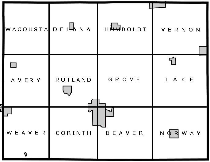
Humboldt County is a county in the U.S. state of Iowa. As of the 2020 census, the population was 9,597. The county seat is Dakota City. The county was created in 1857 and named in honor of Alexander von Humboldt. History Founding Iowa's entry to the union was approved by Congress on March 3, 1845, with statehood beginning on December 28, 1846, following approval of the state's constitution and boundaries. In order to establish county government across the state, the Iowa General Assembly passed an act on January 15, 1851, which created fifty counties in the half of the state where county government had not yet been established. Humboldt County was created by this act, containing its present area, as well as four townships in present-day Webster County: Jackson, Deer Creek, Badger, and Newark. It was named after Alexander von Humboldt. On January 21, 1855, an act merged the northern half of Humboldt County and Bancroft County into Kossuth County, with the southern half of Humb ... [...More Info...] [...Related Items...] OR: [Wikipedia] [Google] [Baidu] |
Iowa Highway 3
Iowa Highway 3 (Iowa 3) is a state highway that runs from east to west across the state of Iowa. It is the longest state highway in Iowa, at long. Iowa 3 begins at the South Dakota state line where it continues as South Dakota Highway 50 and ends at the Northwest Arterial at the Dubuque city limits. It is designated the American Veterans Memorial Highway for its entirety. It is located approximately halfway between Interstate 80 and Interstate 90. Route description Iowa 3 runs for across the northern third of the state, roughly midway between US 18 to the north and US 20 to the south. All of Iowa 3 east of Le Mars has been listed on the National Highway System, a network of roads important to the country's economy, defense, and mobility. Iowa 3 begins at the Big Sioux River where it continues west into South Dakota as South Dakota Highway 50. Shortly after entering Iowa, the highway intersects Iowa 12. Iowa 3 traffic turns ... [...More Info...] [...Related Items...] OR: [Wikipedia] [Google] [Baidu] |
Goldfield, Iowa
Goldfield is a city in Wright County, Iowa, United States. The population was 634 at the time of the 2020 census. History A post office called Goldfield has been in operation since 1856. Brassfield was the name of a pioneer settler, but it was decided that Goldfield sounded like a more suitable placename. Geography Goldfield's longitude and latitude coordinates in decimal form are 42.734708, -93.920163. The city is located along the Boone River. According to the United States Census Bureau, the city has a total area of , all land. Demographics 2010 census As of the census of 2010, there were 635 people, 290 households, and 187 families living in the city. The population density was . There were 313 housing units at an average density of . The racial makeup of the city was 95.4% White, 0.3% African American, 0.5% Native American, 0.9% from other races, and 2.8% from two or more races. Hispanic or Latino of any race were 3.0% of the population. There were 290 households, of ... [...More Info...] [...Related Items...] OR: [Wikipedia] [Google] [Baidu] |


