|
Interstate 80 In Ohio
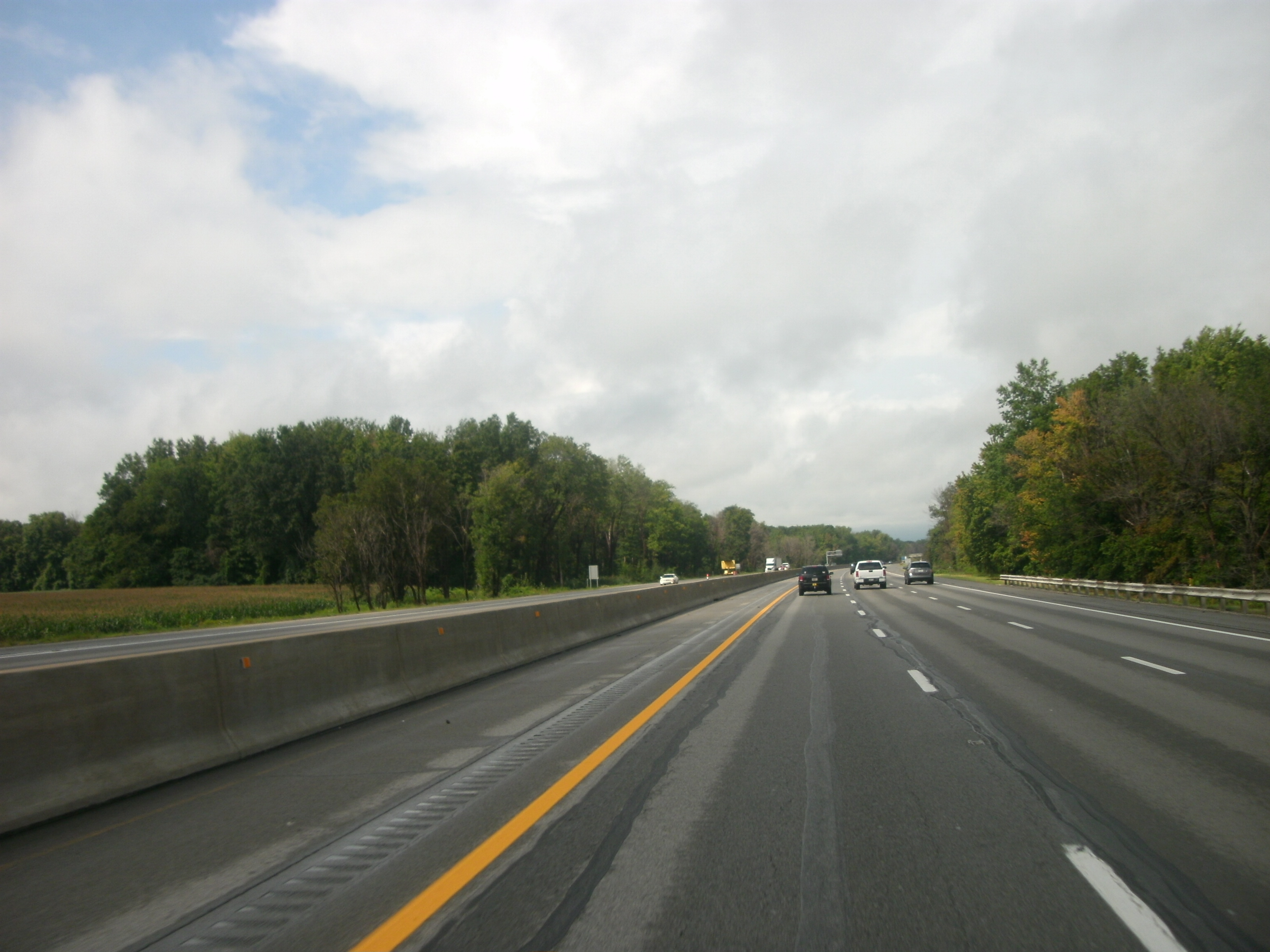
Interstate 80 (I-80) in the US state of Ohio runs across the northern part of the state. Most of the route is part of the Ohio Turnpike; only an stretch is not part of the toll road. That stretch of road is the feeder route to the Keystone Shortway, a shortcut through northern Pennsylvania that provides access to New York City. Route description In Ohio, I-80 enters with I-90 from the Indiana Toll Road and immediately becomes the "James W. Shocknessy Ohio Turnpike", more commonly referred to as simply the Ohio Turnpike. The two Interstates cross rural northwest Ohio and run just south of the Toledo metropolitan area. In Rossford, the turnpike intersects with I-75 in an area known as the Crossroads of America. In Elyria Township, Lorain County, just west of Cleveland, I-90 splits from I-80 (leaving the turnpike and running northeast as a freeway). I-80 runs east-southeast through the southern suburbs of Cleveland and retains the Ohio Turnpike designation. Just northwest ... [...More Info...] [...Related Items...] OR: [Wikipedia] [Google] [Baidu] |
Ohio Turnpike And Infrastructure Commission
Ohio () is a state in the Midwestern region of the United States. Of the fifty U.S. states, it is the 34th-largest by area, and with a population of nearly 11.8 million, is the seventh-most populous and tenth-most densely populated. The state's capital and largest city is Columbus, with the Columbus metro area, Greater Cincinnati, and Greater Cleveland being the largest metropolitan areas. Ohio is bordered by Lake Erie to the north, Pennsylvania to the east, West Virginia to the southeast, Kentucky to the southwest, Indiana to the west, and Michigan to the northwest. Ohio is historically known as the "Buckeye State" after its Ohio buckeye trees, and Ohioans are also known as "Buckeyes". Its state flag is the only non-rectangular flag of all the U.S. states. Ohio takes its name from the Ohio River, which in turn originated from the Seneca word ''ohiːyo'', meaning "good river", "great river", or "large creek". The state arose from the lands west of the Appalachian Mountai ... [...More Info...] [...Related Items...] OR: [Wikipedia] [Google] [Baidu] |
Sandusky County, Ohio
Sandusky County is a county located in the northwestern part of the U.S. state of Ohio. It is southeast of the Toledo Metropolitan Area. As of the 2020 census, the population was 58,896. Its county seat is Fremont. The county was formed on February 12, 1820, from portions of Huron County. The name is derived from the Wyandot word meaning "water" ( wyn, saandustee),which is also the name of the major river through the county. The Sandusky River runs diagonally northeast through the county to its mouth on Sandusky Bay. The bay opens into Lake Erie. The Fremont, OH Micropolitan Statistical Area includes all of Sandusky County. Geography According to the U.S. Census Bureau, the county has a total area of , of which is land and (2.2%) is water. Adjacent counties * Ottawa County (north) * Erie County (east) * Huron County (southeast) * Seneca County (south) * Wood County (west) Demographics 2000 census As of the census of 2000, there were 61,792 people, 23,717 househ ... [...More Info...] [...Related Items...] OR: [Wikipedia] [Google] [Baidu] |
Indiana Toll Road
The Indiana Toll Road, officially the Indiana East–West Toll Road, is a tolled freeway that runs for east–west across northern Indiana from the Illinois state line to the Ohio state line. It has been advertised as the "Main Street of the Midwestern United States, Midwest". The entire toll road is designated as part of Interstate 90 (I-90), and the segment from Lake Station, Indiana, Lake Station east to the Ohio state line (which comprises over 85 percent of the route) is a concurrency (road), concurrency with Interstate 80, I-80. The toll road is owned by the Indiana Finance Authority and operated by the Indiana Toll Road Concession Company (ITRCC), which is owned by IFM Investors. Route description The Indiana Toll Road is part of the Interstate Highway System which runs through Indiana connecting the Chicago Skyway to the Ohio Turnpike. The toll road is signed with Interstate 90, I-90 for its entire length, as well as Interstate 80, I-80 east of Lake Station, aft ... [...More Info...] [...Related Items...] OR: [Wikipedia] [Google] [Baidu] |
Ohio Turnpike Westbound
Ohio () is a state in the Midwestern region of the United States. Of the fifty U.S. states, it is the 34th-largest by area, and with a population of nearly 11.8 million, is the seventh-most populous and tenth-most densely populated. The state's capital and largest city is Columbus, with the Columbus metro area, Greater Cincinnati, and Greater Cleveland being the largest metropolitan areas. Ohio is bordered by Lake Erie to the north, Pennsylvania to the east, West Virginia to the southeast, Kentucky to the southwest, Indiana to the west, and Michigan to the northwest. Ohio is historically known as the "Buckeye State" after its Ohio buckeye trees, and Ohioans are also known as "Buckeyes". Its state flag is the only non-rectangular flag of all the U.S. states. Ohio takes its name from the Ohio River, which in turn originated from the Seneca word ''ohiːyo'', meaning "good river", "great river", or "large creek". The state arose from the lands west of the Appalachian Mountai ... [...More Info...] [...Related Items...] OR: [Wikipedia] [Google] [Baidu] |
New York City
New York, often called New York City or NYC, is the List of United States cities by population, most populous city in the United States. With a 2020 population of 8,804,190 distributed over , New York City is also the List of United States cities by population density, most densely populated major city in the United States, and is more than twice as populous as second-place Los Angeles. New York City lies at the southern tip of New York (state), New York State, and constitutes the geographical and demographic center of both the Northeast megalopolis and the New York metropolitan area, the largest metropolitan area in the world by urban area, urban landmass. With over 20.1 million people in its metropolitan statistical area and 23.5 million in its combined statistical area as of 2020, New York is one of the world's most populous Megacity, megacities, and over 58 million people live within of the city. New York City is a global city, global Culture of New ... [...More Info...] [...Related Items...] OR: [Wikipedia] [Google] [Baidu] |
Keystone Shortway
Keystone or key-stone or ''variation'', may refer to: * Keystone (architecture), a central stone or other piece at the apex of an arch or vault * Keystone (cask), a fitting used in ale casks Business * Keystone Law, a full-service law firm * Digital Keystone, a developer of digital entertainment software * Keystone Aircraft Corporation * Keystone Bridge Company, an American bridge building company * Keystone (beer brand) * Keystone Camera Company * Keystone (gasoline automobile) * Keystone (steam automobile) * Keystone Pipeline, a crude oil pipeline * Keystone-SDA/Keystone-ATS, a Swiss press agency * Keystone View Company, a US photo agency * Keystone (Berkeley, California), a defunct music club Entertainment * ''Keystone'' (video game), part of the Xbox Live Arcade title ''Fable 2 Pub Games'' * Keystone (band), led by jazz trumpeter Dave Douglas ** ''Keystone'' (album), a 2005 album by the band * Keystone Cops, a silent movie series * '' Keystone Kapers'', a classic Ata ... [...More Info...] [...Related Items...] OR: [Wikipedia] [Google] [Baidu] |
Ohio Turnpike
The Ohio Turnpike, officially the James W. Shocknessy Ohio Turnpike, is a limited-access toll highway in the U.S. state of Ohio, serving as a primary corridor between Chicago and Pittsburgh. The road runs east–west in the northern section of the state, with the western end at the Indiana–Ohio border near Edon where it meets the Indiana Toll Road, and the eastern end at the Ohio–Pennsylvania border near Petersburg, where it meets the Pennsylvania Turnpike. The road is owned and maintained by the Ohio Turnpike and Infrastructure Commission (OTIC), headquartered in Berea. Built from 1949 to 1955, construction for the roadway was completed a year prior to the Interstate Highway System. The modern Ohio Turnpike is signed as three Interstate numbers: I-76, I-80, and I-90. Route description The entire length of the Ohio Turnpike is , from the western terminus in Northwest Township near Edon, where it meets the Indiana Toll Road at the Ohio–Indiana border, to the easte ... [...More Info...] [...Related Items...] OR: [Wikipedia] [Google] [Baidu] |
Ohio
Ohio () is a state in the Midwestern region of the United States. Of the fifty U.S. states, it is the 34th-largest by area, and with a population of nearly 11.8 million, is the seventh-most populous and tenth-most densely populated. The state's capital and largest city is Columbus, with the Columbus metro area, Greater Cincinnati, and Greater Cleveland being the largest metropolitan areas. Ohio is bordered by Lake Erie to the north, Pennsylvania to the east, West Virginia to the southeast, Kentucky to the southwest, Indiana to the west, and Michigan to the northwest. Ohio is historically known as the "Buckeye State" after its Ohio buckeye trees, and Ohioans are also known as "Buckeyes". Its state flag is the only non-rectangular flag of all the U.S. states. Ohio takes its name from the Ohio River, which in turn originated from the Seneca word ''ohiːyo'', meaning "good river", "great river", or "large creek". The state arose from the lands west of the Appalachian Mountai ... [...More Info...] [...Related Items...] OR: [Wikipedia] [Google] [Baidu] |
Trumbull County, Ohio
Trumbull County is a county in the far northeast portion of U.S. state of Ohio. As of the 2020 census, the population was 201,977. Its county seat is Warren, which developed industry along the Mahoning River. Trumbull County is part of the Youngstown-Warren-Boardman, OH-PA Metropolitan Statistical Area. History In the early years of the European discovery and exploration of the New World, the land that became Trumbull County was originally claimed by French explorers as part of the French colony of Canada (New France). Their settlements had some fur traders who interacted with Native American tribes in this area. After losing the Seven Years' War to Great Britain, France was forced to cede its territories east of the Mississippi River in 1763. Great Britain renamed New France as the Province of Quebec. Following the United States' victory in its Revolutionary War, the British were forced to cede this land to the new nation. The federal government convinced Connecticut to give ... [...More Info...] [...Related Items...] OR: [Wikipedia] [Google] [Baidu] |
Mahoning County, Ohio
Mahoning County is a County (United States), county in the U.S. state of Ohio. As of the 2020 United States census, 2020 census, the population was 228,614. Its county seat and largest city is Youngstown, Ohio, Youngstown. The county is List of Ohio county name etymologies, named for a Lenape word meaning "at the licks" or "there is a lick", referring to the salt licks in the area. Mahoning County was formed on March 1, 1846; the 83rd county in Ohio. Until 1846, the area that is now Mahoning County was part of Trumbull and Columbiana counties, when the counties in the area were redefined and Mahoning County emerged as a new county.History of Mahoning County , Official county website. Mahoning County is part of the Mahoning Valley, Youngstown-Warren-Boardman, OH-PA Metro ... [...More Info...] [...Related Items...] OR: [Wikipedia] [Google] [Baidu] |
Portage County, Ohio
Portage County is a county in the U.S. state of Ohio. As of the 2020 census, the population was 161,791. Located in Northeast Ohio, Portage County is part of the Akron Metropolitan Statistical Area, which is also included in the Cleveland–Akron–Canton Combined Statistical Area. Its county seat is Ravenna and its largest city is Kent. The county, named for the portage between the Cuyahoga and Tuscarawas Rivers, was created in 1807 and formally organized in 1808. In addition to the cities of Kent and Ravenna, Portage County also includes the cities of Aurora and Streetsboro, along with five villages, 18 civil townships, and several unincorporated places within those townships. Additionally, the county includes parts of the city of Tallmadge, and part of the village of Mogadore, both of which are mostly in neighboring Summit County. History The name "Portage" comes from an old Indian path called "Portage Path", which ran between the Cuyahoga and Tuscarawas rivers, whe ... [...More Info...] [...Related Items...] OR: [Wikipedia] [Google] [Baidu] |
Summit County, Ohio
Summit County is an urban county in the U.S. state of Ohio. As of the 2020 census, the population was 540,428, making it the fourth-most populous county in Ohio. Its county seat and largest city is Akron. The county was formed on March 3, 1840, from portions of Medina, Portage and Stark Counties. It was named Summit County because the highest elevation on the Ohio and Erie Canal is located in the county. Summit County is part of the Akron, OH Metropolitan Statistical Area, which is also included in the Cleveland-Akron-Canton, OH Combined Statistical Area. Geography According to the United States Census Bureau, the county has a total area of , of which is land and (1.7%) is water. The largest portion of Cuyahoga Valley National Park is located in the northern part of the county. The southern border of the former Connecticut Western Reserve passes through the southern part of the county, leading to jogs in the east and west borders of the county. Major highways * * * * ... [...More Info...] [...Related Items...] OR: [Wikipedia] [Google] [Baidu] |


.jpg)


