|
Inkerman Centre, New Brunswick
Inkerman is a civil parish in Gloucester County, New Brunswick, Canada. For governance purposes it is divided between the Regional Municipality of Tracadie, the Pokemouche 13 Indian reserve, and the local service districts of Evangéline, Inkerman Centre, Landry Office, Maltempec, and Pokemouche, all of which except the Indian reserve are members of the Acadian Peninsula Regional Service Commission (APRSC). The local service district of the same name, which included only part of the parish, was incorporated into the Regional Municipality of Grand Tracadie–Sheila on July 1, 2014, causing some misunderstanding of its status. Origin of name The parish is named after the Battle of Inkerman in the Crimean War, fought in 1854. History Inkerman was erected in 1855 from Saumarez Parish. In 1870 the boundary with Saumarez Parish was adjusted. In 1881 the western part of Inkerman was included in the newly erected Saint-Isidore. Boundaries Inkerman Parish is bounded: Rema ... [...More Info...] [...Related Items...] OR: [Wikipedia] [Google] [Baidu] |
List Of Parishes In New Brunswick
The Canadian province of New Brunswick is divided by the ''Territorial Division Act'' into 152 parishes, units which had political significance as subdivisions of counties until the Municipalities Act of 1966. Parishes still exist in law and include any municipality, rural community, or regional municipality within their borders. They provided convenient boundaries for electoral districts and organising delivery of government services for some time after 1966 but were gradually supplanted for such purposes by local service districts (LSDs), which better represent communities of interest. Local governance reforms scheduled for 1 January 2023 will abolish the local service district as a unit of governance but this will not affect the existence of civil parishes. Parishes are still usedAs of July 2021, by more than a dozen Acts and more than fifty Regulations. to describe legal boundaries for health administration judicial matters, agricultural boards, and some other entities; highwa ... [...More Info...] [...Related Items...] OR: [Wikipedia] [Google] [Baidu] |
Battle Of Inkerman
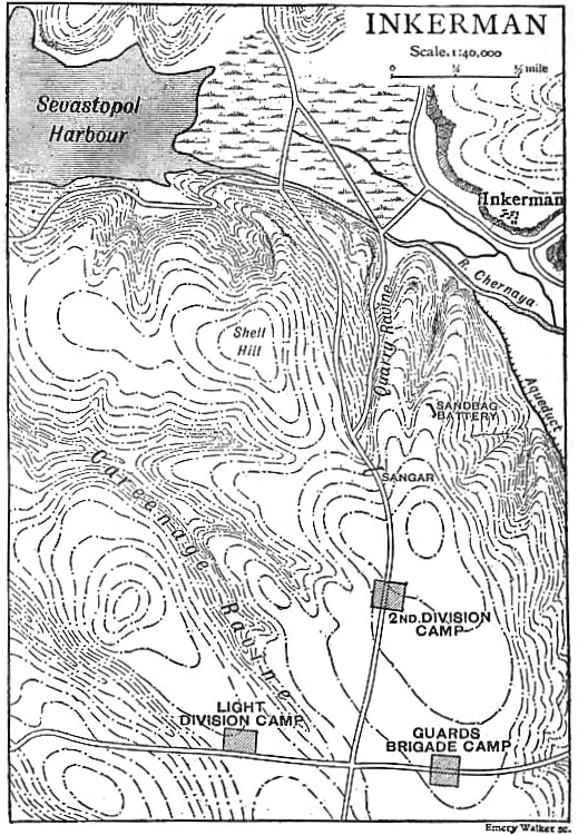
The Battle of Inkerman was fought during the Crimean War on 5 November 1854 between the allied armies of United Kingdom of Great Britain and Ireland, Britain and Second French Empire, France against the Imperial Russian Empire, Russian Army. The battle broke the will of the Russian Army to defeat the allies in the field, and was followed by the Siege of Sevastopol (1854–1855), siege of Sevastopol. The role of troops fighting mostly on their own initiative due to the foggy conditions during the battle has earned the engagement the name "The Soldier's Battle." Prelude to the battle The allied armies of Britain, France, Sardinia, and the Ottoman Empire had landed on the west coast of Crimea on 14 September 1854, intending to capture the Russian naval base at Sevastopol. The allied armies fought off and defeated the Russian Army at the Battle of Alma, forcing them to retreat in some confusion toward the River Kacha. While the allies could have taken this opportunity to attack Se ... [...More Info...] [...Related Items...] OR: [Wikipedia] [Google] [Baidu] |
Inkerman, New Brunswick
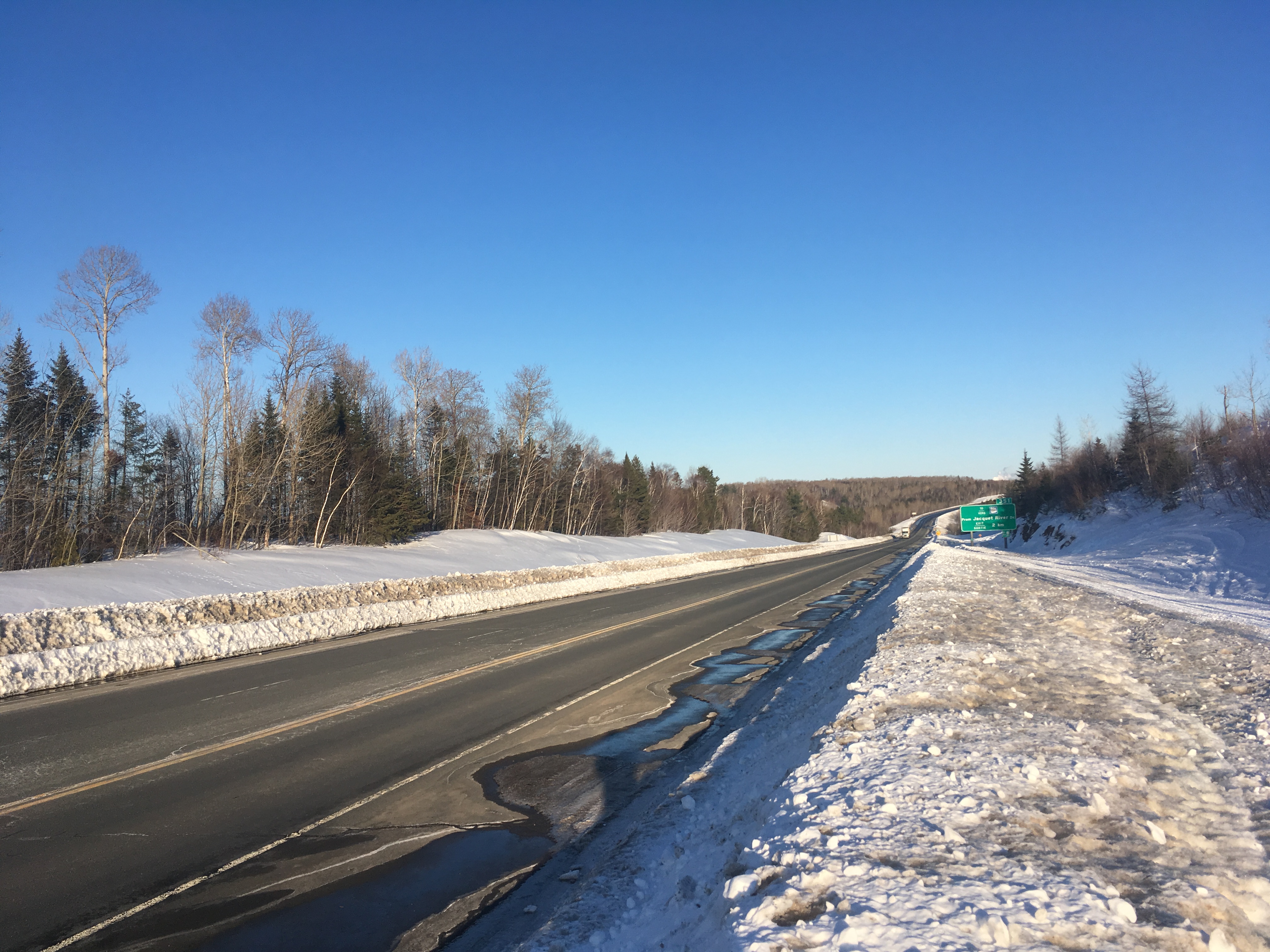
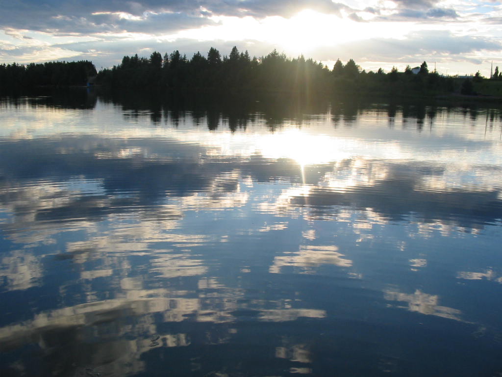
Inkerman is a community in the Canadian province of New Brunswick on Inkerman Lake. It is located mainly on Route 113. History The place is named after the Battle of Inkerman in the Crimean War. The area was once served by the Caraquet and Gulf Shore Railway, a section of which ran between Tracadie and Shippagan. In 2017, a 500 metre former railway bridge, then being used as part of the Sentier NB Trail The Sentier NB Trail is a network of hiking trails in New Brunswick, Canada built on abandoned railways. The trails are mostly closed to motorized vehicles. The network is operated by the New Brunswick Trails Council, a non-profit organization. So ..., was destroyed by fire. Notable people See also * Inkerman Parish * List of communities in New Brunswick References Designated places in New Brunswick Former municipalities in New Brunswick Neighbourhoods in Grand Tracadie-Sheila {{NewBrunswick-geo-stub ... [...More Info...] [...Related Items...] OR: [Wikipedia] [Google] [Baidu] |
Caraquet Parish, New Brunswick
Caraquet is a civil parish in Gloucester County, New Brunswick, Canada. For governance purposes, the parish is divided between the towns of Caraquet, Hautes-Terres, Rivière-du-Nord, and Shippagan. All municipalities are members of the Acadian Peninsula Regional Service Commission (APRSC). Origin of name Historian William F. Ganong described the origin of the name as uncertain, the Mi'kmaq ''Caluget'' possibly being their pronunciation of a French name for the area. History Caraquet was erected in 1831 from Saumarez Parish; it originally included Shippegan Parish and Paquetville Parish. In 1851 Shippegan was erected as its own parish. In 1897 Paquetville was erected as its own parish. Boundaries Caraquet Parish is bounded: Remainder of parish on map 19 at same site. Remainder of parish on mapbooks 036, 054–056, and 074–076 at same site. * on the north by the Caraquet River, Caraquet Bay, and Chaleur Bay; * on the east by Baie de Shippagan, Baie Brûlé, Saint- ... [...More Info...] [...Related Items...] OR: [Wikipedia] [Google] [Baidu] |
New Brunswick Route 345
Route 345 is a long east–west secondary riverfront highway in the north-east portion of New Brunswick, Canada. The route's eastern terminus is in the community of Upper Pokemouche. The road travels east, crossing the Pokemouche River, then Route 335, before entering the community of Evangeline ''Evangeline, A Tale of Acadie'' is an epic poem by the American poet Henry Wadsworth Longfellow, written in English and published in 1847. The poem follows an Acadian girl named Evangeline and her search for her lost love Gabriel, set during t .... From there, the road passes Patricks Cove then continues to Inkerman Ferry ending at the intersection of Route 113. Intersecting routes * Route 335 See also * * References 345 345 {{NewBrunswick-road-stub ... [...More Info...] [...Related Items...] OR: [Wikipedia] [Google] [Baidu] |
Six Roads, New Brunswick
Six-Roads is a settlement in New Brunswick, Canada. The Community is located mainly at the intersection of Route 355 and Route 11. Since 2014 it has been part of the Regional Municipality of Tracadie. History Notable people See also *List of communities in New Brunswick This is a list of communities in New Brunswick, a province in Canada. For the purposes of this list, a community is defined as either an incorporated municipality, an Indian reserve, or an unincorporated community inside or outside a municipalit ... References Neighbourhoods in Grand Tracadie-Sheila Former municipalities in New Brunswick {{NewBrunswick-geo-stub ... [...More Info...] [...Related Items...] OR: [Wikipedia] [Google] [Baidu] |
New Brunswick Route 160
Route 160 is a -long east–west secondary highway in the northeast New Brunswick, Canada. In Saint-Isidore, the route is known as ''Boulevard des Fondateurs''. Route 160 starts at an intersection with Route 8 and Route 360 near Allardville. From there, it runs east through Saint-Isidore to its terminus at Route 150 in Losier Settlement. History Route 160 was commissioned in 1984 from portions of Route 135 (east of Saint-Isidore) and Route 360 (to the west). Both still exist in shortened form. In 1989, when a new Route 8 alignment opened that bypassed Allardville to the west, Route 160 was extended 3 km further west along another former portion of Route 360 to meet up with the new highway. Intersecting routes * Route 135 in Saint-Isidore * Route 365 in Saint-Isidore River crossings * Gaspereau Brook * Pont-Landry Communities along the Route * Pont-Landry * Boishebert * Saint-Isidore * Haut Saint-Isidore * Bois-Gagnon * Pokemouche Landing * Saint-Sa ... [...More Info...] [...Related Items...] OR: [Wikipedia] [Google] [Baidu] |
New Brunswick Route 11
Route 11 is a provincial highway in northeastern New Brunswick, Canada. The road runs from Moncton to the Quebec border, near Campbellton, at the Matapédia Bridge, following the province's eastern and northern coastlines. Between Shediac Bridge and Miramichi, and between Bathurst and Campbellton, it is a two-lane road with some sections designed as a super two expressway. The highway is twinned for 7 kilometres in the Shediac region near the Route 15 interchange. Route description The southern terminus of Route 11 is at an interchange with Route 2 in Moncton, where it begins a concurrency with Route 15 for to Shediac. At Shediac, Route 11 departs Route 15 and turns northward, where its exit numbers are reset. It runs northward, parallel to Route 134 as a four-lane divided highway for , then becomes a super two controlled-access highway. The route passes through the communities of Shediac Cape, intersecting Route 134, and crosses the Shediac River. The highway the ... [...More Info...] [...Related Items...] OR: [Wikipedia] [Google] [Baidu] |
Gulf Of Saint Lawrence
, image = Baie de la Tour.jpg , alt = , caption = Gulf of St. Lawrence from Anticosti National Park, Quebec , image_bathymetry = Golfe Saint-Laurent Depths fr.svg , alt_bathymetry = Bathymetry of the Gulf of St. Lawrence , caption_bathymetry = Bathymetry of the Gulf of St. Lawrence , location = , group = , coordinates = , type = Gulf , etymology = , part_of = , inflow = , rivers = , outflow = , oceans = , catchment = , basin_countries = CanadaSaint Pierre and Miquelon (France) , agency = , designation = , date-built = , engineer = , date-flooded = , length = , width = , area = , depth = , max-depth = , volume = , residence_time = , salinity ... [...More Info...] [...Related Items...] OR: [Wikipedia] [Google] [Baidu] |
Pokemouche River
The Pokemouche River is in north eastern New Brunswick, Canada. The name is derived from the Algonquin language. Its headwaters are near the community of Paquetville, and it flows in an easterly direction approximately twenty kilometers where it empties into the Gulf of St. Lawrence at Inkerman Lake. Other communities along its watershed include Maltampec and Pokemouche. Its tributaries include South Branch Pokemouche River, Cowans Creek, and the Waugh River. See also *List of rivers of New Brunswick This is a List of bodies of water in the Canadian province of New Brunswick, including waterfalls. New Brunswick receives precipitation year-round, which feeds numerous streams and rivers. There are two main discharge basins: the Gulf of Saint La ... Rivers of New Brunswick {{NewBrunswick-river-stub ... [...More Info...] [...Related Items...] OR: [Wikipedia] [Google] [Baidu] |
Chain (unit)
The chain is a unit of length equal to 66 feet (22 yards). It is subdivided into 100 links (PDF) or 4 rods. There are 10 chains in a furlong, and 80 chains in one statute mile. In metric terms, it is 20.1168 m long. By extension, chainage (running distance) is the distance along a curved or straight survey line from a fixed commencing point, as given by an odometer. The chain has been used for several centuries in England and in some other countries influenced by English practice. In the United Kingdom, there were 80 chains to the mile, but until the early nineteenth century the Scottish and Irish customary miles were longer than the statute mile; consequently a Scots chain was about 74 (imperial) feet, an Irish chain 84 feet. These longer chains became obsolete following the adoption of the imperial system of units in 1824. Definition The UK statute chain is 22 yards, which is . This unit is a statute measure in the United Kingdom, defined in the Weights and Measures Act 19 ... [...More Info...] [...Related Items...] OR: [Wikipedia] [Google] [Baidu] |
Saint-Isidore Parish, New Brunswick
Saint-Isidore is a civil parish in Gloucester County, New Brunswick, Canada. For governance purposes it is divided between the Regional Municipality of Tracadie, the village of Saint-Isidore, and the local service district of the parish of Saint-Isidore (which further includes the special service area of Bois-Blanc - Hacheyville - Duguayville), all of which are members of the Acadian Peninsula Regional Service Commission (APRSC). Origin of name The parish's name may have come from Saint Isidore, Patron Saint of farmers. History Saint-Isidore was erected in 1881 from Inkerman and Saumarez Parishes. In 1947 part of Saint-Isidore was included in the newly erected Allardville Parish. Boundaries Saint-Isidore Parish is bounded: Remainder of parish on maps 30, 42, and 43 at same site. Remainder of parish on mapbooks 075, 093–095, and 114 at same site. * on the north by the southern line of Range 6 of Paquetville South Settlement, which is on the south side of the Val-Dou ... [...More Info...] [...Related Items...] OR: [Wikipedia] [Google] [Baidu] |


.jpg)
