|
Isthmus Of Ierapetra
The Isthmus of Ierapetra (Ισθμός της Ιεράπετρας) is a strip of land on the Greek island of Crete which connects the easternmost municipality, Siteia, to the rest of the island. Its name comes from the largest settlement, Ierapetra (Ιεράπετρα), which is situated on the south coast. Geography The isthmus is the narrowest part of Crete, with a distance of 12 kilometres from the Gulf of Mirabello in the north to the Libyan Sea in the south. It is flanked by mountain ranges on the east and west. The imposing Ha Gorge (Φαρράγι Χά), located on the Thrypti Mountains, overlooks the isthmus from the eastern side. Archaeology A number of archaeological sites are dotted around the isthmus. The bronze age site of Vasiliki(Βασιλική), in the middle of the isthmus, lends its name to an early form of Minoan pottery found primarily on the site. Other Minoan sites in the vicinity are Gournia, Priniatikos Pyrgos Priniatikos Pyrgos is an archaeolog ... [...More Info...] [...Related Items...] OR: [Wikipedia] [Google] [Baidu] |
Lassithi
Lasithi ( el, Λασίθι) is the easternmost regional unit on the island of Crete, to the east of Heraklion. Its capital is Agios Nikolaos, the other major towns being Ierapetra and Sitia. The mountains include the Dikti in the west and the Thrypti in the east. The Sea of Crete lies to the north and the Libyan Sea to the south. To the east of the village of Elounda lies the island of Spinalonga, formerly a Venetian fortress and a leper colony. On the foot of Mount Dikti lies the Lasithi Plateau, famous for its windmills. Vai is well known for its datepalm forest. Thanks to its beaches and its mild climate year-long, Lasithi attracts many tourists. Mass tourism is served by places like Vai, Agios Nikolaos and the island of Chrissi. More off-beat tourism can be found in villages on the south coast like Myrtos, Makrys Gialos or Makrigialos, Xerokambos and Koutsouras. Lasithi is home to a number of ancient remains. Vasiliki, Fournou Korifi, Pyrgos, Zakros and Gournia are ruin ... [...More Info...] [...Related Items...] OR: [Wikipedia] [Google] [Baidu] |
Crete
Crete ( el, Κρήτη, translit=, Modern: , Ancient: ) is the largest and most populous of the Greek islands, the 88th largest island in the world and the fifth largest island in the Mediterranean Sea, after Sicily, Sardinia, Cyprus, and Corsica. Crete rests about south of the Greek mainland, and about southwest of Anatolia. Crete has an area of and a coastline of 1,046 km (650 mi). It bounds the southern border of the Aegean Sea, with the Sea of Crete (or North Cretan Sea) to the north and the Libyan Sea (or South Cretan Sea) to the south. Crete and a number of islands and islets that surround it constitute the Region of Crete ( el, Περιφέρεια Κρήτης, links=no), which is the southernmost of the 13 top-level administrative units of Greece, and the fifth most populous of Greece's regions. Its capital and largest city is Heraklion, on the north shore of the island. , the region had a population of 636,504. The Dodecanese are located to the no ... [...More Info...] [...Related Items...] OR: [Wikipedia] [Google] [Baidu] |
Siteia
Sitia ( el, Σητεία) is a port town and a municipality in Lasithi, Crete, Greece. The town has 9,912 inhabitants (2011) and the municipality has 18,318 (2011). It lies east of Agios Nikolaos and northeast of Ierapetra. Sitia port is on the Sea of Crete, part of the Aegean Sea and is one of the economic centers of the Lasithi region. European route E75, which ends in Vardø, starts in Sitia. Sitia is served by the Sitia Public Airport. Sitia has not experienced the effects of mass tourism even though there is a long beach along the road leading to Vai and several places of historical interest. Geography Municipality The municipality Sitia was formed at the 2011 local government reform by the merger of the following 3 former municipalities which became municipal units: *Itanos *Lefki, Lasithi *Sitia The municipality has an area of , the municipal unit . Province The province of Siteia ( el, Επαρχία Σητείας) was one of the provinces of Lasithi. Its territory co ... [...More Info...] [...Related Items...] OR: [Wikipedia] [Google] [Baidu] |
Ierapetra
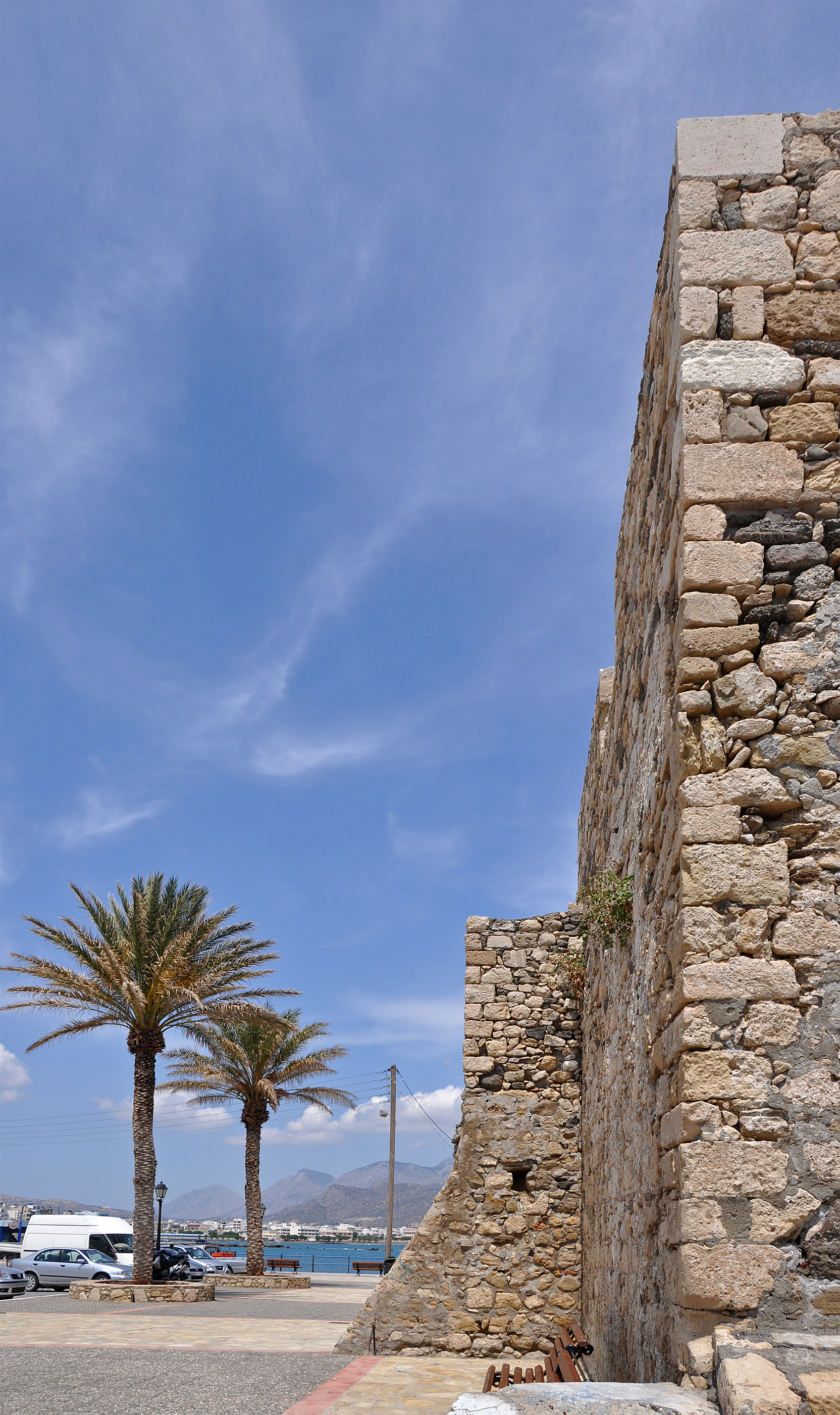
Ierapetra ( el, Ιεράπετρα, lit=sacred stone; ancient name: ) is a Greece, Greek town and municipality located on the southeast coast of Crete. History The town of Ierapetra (in the local dialect: Γεράπετρο ''Gerapetro'') is located on the southeast coast of Crete, situated on the beach of Ierapetra Bay. This town lies south of Agios Nikolaos, Crete, Agios Nikolaos and southwest of Sitia, and is an important regional center. With 16,139 inhabitants (in 2011), Ierapetra is the most populous town in the regional unit of Lasithi and the fourth most populous town in Crete. Ierapetra is nicknamed "the bride of the Libyan Sea" because of its position as the only town on Crete's southern coast. Antiquity Ierapetra has retained a prominent place in the history of Crete since the Minoan civilization, Minoan period. The Greek and later Ancient Rome, Roman town of Hierapytna was located on the same site as present-day Ierapetra. In the Classical antiquity, Classical Age, ... [...More Info...] [...Related Items...] OR: [Wikipedia] [Google] [Baidu] |
Gulf Of Mirabello
Mirabello Bay (also ''Bay/Gulf of Mirabello/Mirabella'') is an embayment of the Sea of Crete on the eastern part of Crete in present-day Greece. It is the largest bay of the Greek islands and the fifth largest in the Mediterranean Sea. The tourist town Agios Nikolaos overlooks the bay. This locale was important in prehistoric settlement of the island of Crete. In ancient times The coast of the Bay of Mirabello was noted for its role in copper metallurgy development in the period circa 3000 BC. In the Late Minoan period, cities on high ground overlooking the Bay of Mirabello were founded as cities of refuge, including Karphi. Later in the Dorian Invasion, settlement occurred of other hilltop cities overlooking the Bay of Mirabello; an example of this phase of settlement was the city of Lato.C. M. Hogan, 2008 Line notes References * Philip P. Betancourt (2007) ''The Chrysokamino Metallurgy Workshop and Its Territory'', ASCSA, 462 pages * Robert Drews Robert Drews (born ... [...More Info...] [...Related Items...] OR: [Wikipedia] [Google] [Baidu] |
Ha Gorge
Ha Gorge ( el, Φαράγγι Χά) is a narrow gorge, at the Monasteraki Dakos, on the eastern part of the island of Crete in Greece. It is located in the west slope of Thrypti mountain range, and exits east of Vasiliki village in the plain of Ierapetra. From this location scenic views overlook Pahia Amos and the bay. Being practically inaccessible to people, the gorge maintains a rich and diverse flora and fauna. Its depth is about and the fissure is said to be one of the largest in the world. Late Minoan IIIC sites are in the area. Etymology The name 'Ha Gorge' is derived from the Greek Cretan dialect ''hasko'' ( el, χάσκω) meaning "separate" or "to gape". Location The gorge is located on the north end of the Isthmus of Hierapetra. Access to the geological fault is very difficult. The road approach to the gorge is along the national highway from Iraklio to Agios Nikolaos and then the approach leads through Ierapetra and the village of Episkopi. From this village, ... [...More Info...] [...Related Items...] OR: [Wikipedia] [Google] [Baidu] |
Vasiliki, Lasithi
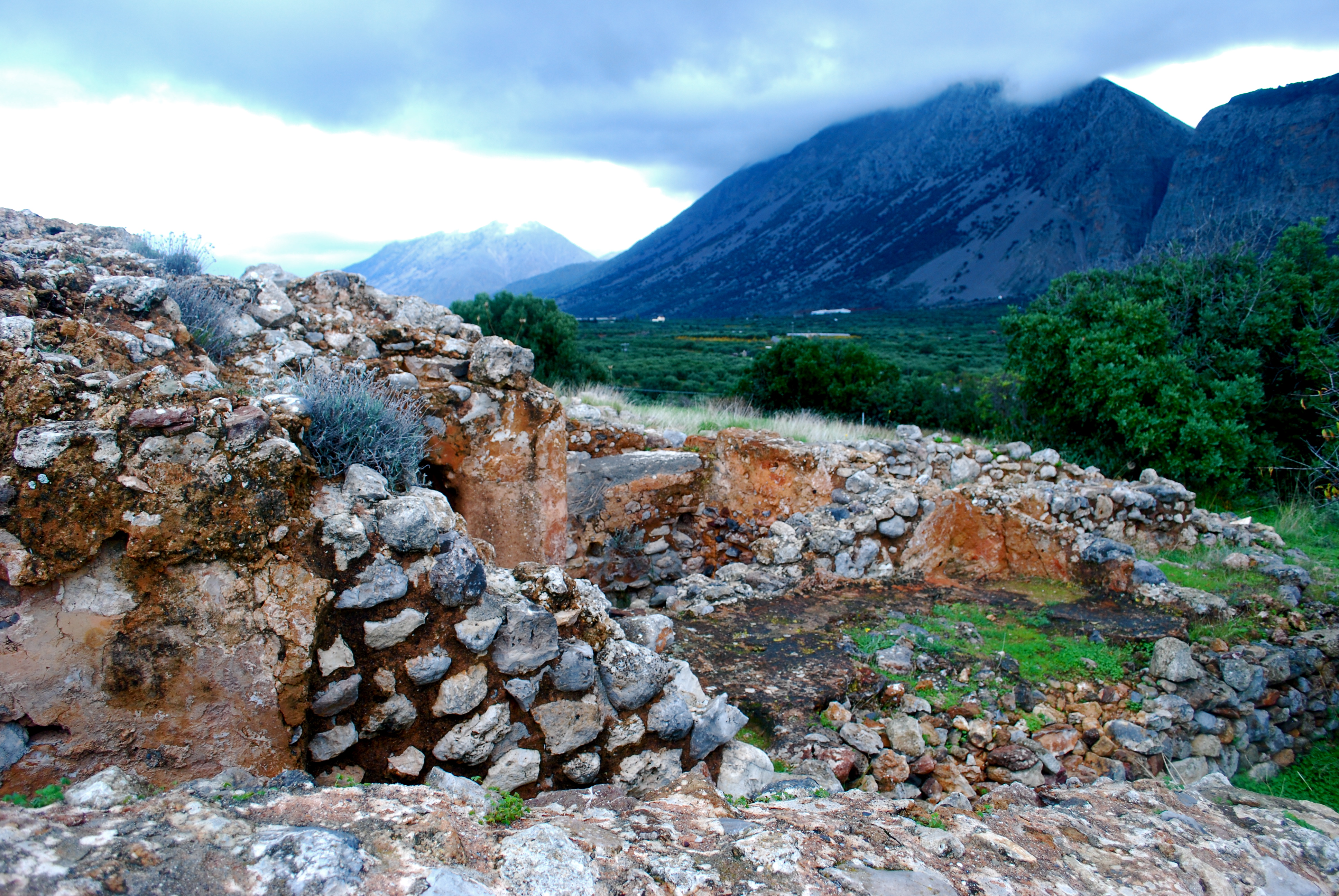
Vasiliki is the name of a village in the municipality of Ierapetra, in the prefecture of Lasithi, on Crete, and the name of the nearby Minoan archeological site. The site took its name from the village. Geography Vasiliki lies on a small hill in the north of the Ierapetra isthmus. It is located about 2 km inland from the north coast of Crete and the Mirabello Bay. The nearby archaeological site of Priniatikos Pyrgos is about 7 km to the north-west. The exit of the impressive Ha Gorge is located nearby. Archaeology Vasiliki was first excavated 1903-1906 by American archaeologist R. B. Seager. Nicolas Platon continued excavations in 1953. In 1970, A. A. Zois began meticulous work that lasted until 1982, and returned to the site again in 1990 to continue the work. The Minoan village was in use from EMIIA to LMIA. The first structures were constructed during EM IIA period. These buildings were destroyed and new buildings went up during EM IIB. From about 2500 BC onw ... [...More Info...] [...Related Items...] OR: [Wikipedia] [Google] [Baidu] |
Vasiliki Ware
Vasiliki wares are a distinctive type of Minoan pottery produced in Crete during the Minoan period, named for the finds around the town of Vasiliki, Lasithi Vasiliki is the name of a village in the municipality of Ierapetra, in the prefecture of Lasithi, on Crete, and the name of the nearby Minoan archeological site. The site took its name from the village. Geography Vasiliki lies on a small hill in ..., although it was produced at other sites too. The vases include a reddish-brown wash applied unevenly to mimic stone vessels. The mottling was produced by uneven firing of the slip-covered pot, with the hottest areas turning dark. Considering that the mottling was controlled into a pattern, touching with hot coals was probably used to produce it. There is also a style painted in a creamy white over the reddish-brown wash applied all over the body. The first examples of Vasiliki ware are to be found in East Crete during EM IIA period, but it is in the next period, EM IIB, that i ... [...More Info...] [...Related Items...] OR: [Wikipedia] [Google] [Baidu] |
Gournia
Gournia ( el, Γουρνιά) is the site of a Minoan palace complex on the island of Crete, Greece, excavated in the early 20th century by the American archaeologist, Harriet Boyd-Hawes. The original name for the site is unknown. The modern name comes from the abundant hollow vessels found all over the site. Gournia lies in the municipality of Ierapetra in the prefecture of Lasithi. Chronology The overarching term "Bronze Age" means something different depending on the culture and region of the world being studied. The Aegean Bronze Age is defined according to the place, which are mainland, Aegean islands, and Crete. These are referred to as Helladic, Cycladic, and Minoan respectively. Although Crete is an island in the Aegean, their culture is so distinctive from the ones considered to be Cycladic that it stands on its own. Archaeologists abbreviate the chronological periods using two prefixes. The first one always refers to the major Bronze Age period which are Early, Middl ... [...More Info...] [...Related Items...] OR: [Wikipedia] [Google] [Baidu] |
Priniatikos Pyrgos
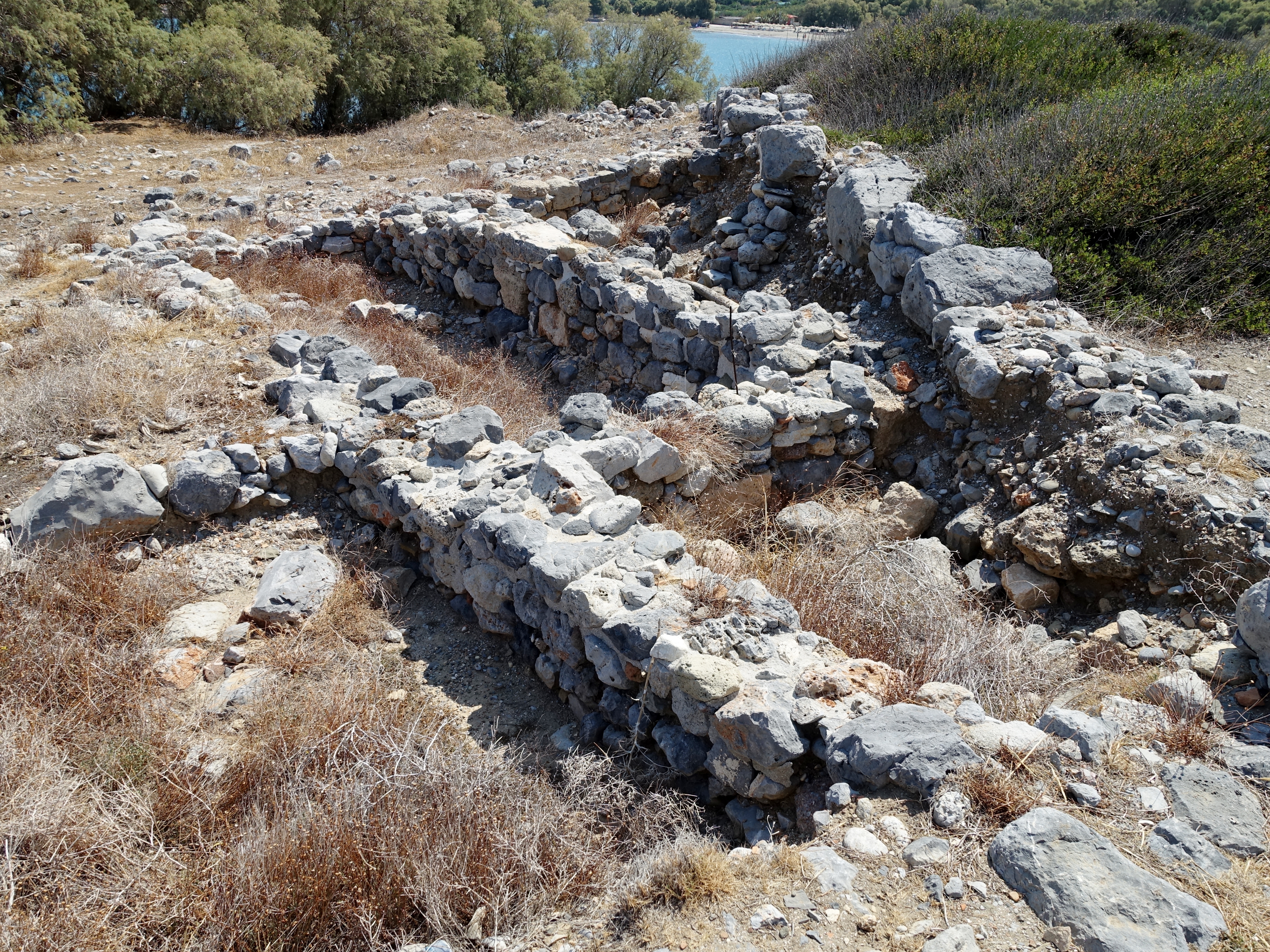
Priniatikos Pyrgos is an archaeological site near Istron River, in the eastern Cretan regional unit of Lasithi, (Greece). The nearest big town is Agios Nikolaos, Crete. The site is on a coastal promontory. It appears to have been first settled in the Final Neolithic, ''circa'' 3000 BC. Nearby, there's a small resort town of Kalo Chorio, Lasithi. It is not to be confused with Myrtos Pyrgos on the south coast. History Activity on the site continued throughout the Minoan Bronze Age and the Classical Greek (polis-town of Istron) and Roman periods to Byzantine and Venetian periods, spanning a total of up to 4,000 years. The site may have been a harbour settlement, an industrial area, a cult area or any combination of such functions, which may have changed throughout its long occupation. Since 2007, Priniatikos Pyrgos has been undergoing excavation by an international team under the auspices of the Irish Institute of Hellenic Studies at Athens. There's another important archaeol ... [...More Info...] [...Related Items...] OR: [Wikipedia] [Google] [Baidu] |
Landforms Of Crete
A landform is a natural or anthropogenic land feature on the solid surface of the Earth or other planetary body. Landforms together make up a given terrain, and their arrangement in the landscape is known as topography. Landforms include hills, mountains, canyons, and valleys, as well as shoreline features such as bays, peninsulas, and seas, including submerged features such as mid-ocean ridges, volcanoes, and the great ocean basins. Physical characteristics Landforms are categorized by characteristic physical attributes such as elevation, slope, orientation, stratification, rock exposure and soil type. Gross physical features or landforms include intuitive elements such as berms, mounds, hills, ridges, cliffs, valleys, rivers, peninsulas, volcanoes, and numerous other structural and size-scaled (e.g. ponds vs. lakes, hills vs. mountains) elements including various kinds of inland and oceanic waterbodies and sub-surface features. Mountains, hills, plateaux, and plains are t ... [...More Info...] [...Related Items...] OR: [Wikipedia] [Google] [Baidu] |


.jpg)