|
Iron County, Wisconsin
Iron County is a county located in the U.S. state of Wisconsin. As of the 2020 census, the population was 6,137, making it the third-least populous county in Wisconsin. Its county seat is Hurley. It was named for the valuable iron ore found within its borders. The county overlaps with small parts of the Bad River and Lac du Flambeau Indian reservations. Geography According to the U.S. Census Bureau, the county has a total area of , of which is land and (18%) is water. Adjacent counties * Vilas County - east, southeast * Price County - southwest * Ashland County - west * Gogebic County, Michigan - northeast Major highways County Highways * * * * * * * * * Railroads *Watco Buses *List of intercity bus stops in Wisconsin Airport * KIWD - Gogebic-Iron County Airport – Commercial air service is available. Demographics 2020 census As of the census of 2020, the population was 6,137. The population density was . There were 5,523 housing units at an avera ... [...More Info...] [...Related Items...] OR: [Wikipedia] [Google] [Baidu] |
Old Iron County Courthouse
The Old Iron County Courthouse, now the Iron County Historical Museum, at 303 Iron St. in Hurley in Iron County, Wisconsin, was built in 1892–1893. It was listed on the National Register of Historic Places in 1977. Building The Old Courthouse is a two-story red pressed brick building with brownstone ornamentation, in plan, in an eclectic style with Richardsonian Romanesque features and two towers, one a "castellated High Victorian" clock tower, the other capped by a dome. With Designed by L.H. Ruggles, it was an unusually large and elaborate public building for Wisconsin at that time. History The building was constructed in 1892–1893 as the town hall for the former town of Vaughn, which was then in Ashland County. Before its completion, the majority of the building was leased to the newly formed Iron County, and although under the lease terms the "court room" space was to be used primarily for meetings of the town council, it quickly became the county courthouse. The bui ... [...More Info...] [...Related Items...] OR: [Wikipedia] [Google] [Baidu] |
US 51
U.S. Route 51 or U.S. Highway 51 (US 51) is a major south-north United States highway that extends from the western suburbs of New Orleans, Louisiana, to within of the Wisconsin–Michigan state line. As most of the United States Numbered Highways ending with "1", it is a cross-country north-south route extending from the Gulf Coast region to the Great Lakes region. Much of the highway in northern Illinois and southern Wisconsin runs parallel to or is cosigned with Interstate 39 (I-39) and much of the route in several states also parallels the Illinois Central Railroad. From LaPlace, Louisiana, Mississippi, to Memphis, Tennessee, much of that portion of US 51 runs largely parallel or is concurrent with Interstate 55 (I-55). The highway's northern terminus is between Hurley, Wisconsin, and Ironwood, Michigan, where it ends with a Trumpet interchange at US 2. Its southern terminus is in Laplace, Louisiana, ending at US 61. US 51 is routed through the states of Louisia ... [...More Info...] [...Related Items...] OR: [Wikipedia] [Google] [Baidu] |
List Of Intercity Bus Stops In Wisconsin
The following is a list of presently operating intercity bus stops in Wisconsin with regular service. The list excludes charter buses, local transit buses, paratransit systems, and trolleybus systems. The following companies provide intercity bus service in Wisconsin as of September 2022: * Amtrak Thruway * Badger Bus * Flixbus * Greyhound Lines * Indian Trails * Jefferson Lines * Lamers Bus Lines Lamers () is a Dutch / Low Franconian patronymic surname, from the now rare given name ''Lamert'', a local form of Lambert. Among variant spellings are ''Laamers'' and ''Laemers''. [...More Info...] [...Related Items...] OR: [Wikipedia] [Google] [Baidu] |
Watco
Watco Companies, L.L.C. (Watco) is a transportation company based in Pittsburg, Kansas, formed in 1983 by Charles R. Webb. Watco was composed of four divisions: transportation, mechanical, terminal and port services, and compliance. Watco is the owner of Watco Transportation Services, L.L.C. (WTS), which operates 41 short line railroads in the U.S. and Australia. It is one of the largest short line railroad companies in the United States. As of December 2018, it operates on of leased and owned track. Also under transportation is the contract switching the company provides service for 30 customers. That was the service that Watco originally offered before it branched out into other areas. Watco's mechanical division has 19 car repair shops and is one of the largest mechanical services provider in the United States. They provide program, contract and emergency repairs. These services include maintenance of all types of cars including tank cars and coal fleets, and the preparatio ... [...More Info...] [...Related Items...] OR: [Wikipedia] [Google] [Baidu] |
Highway 182 (Wisconsin)
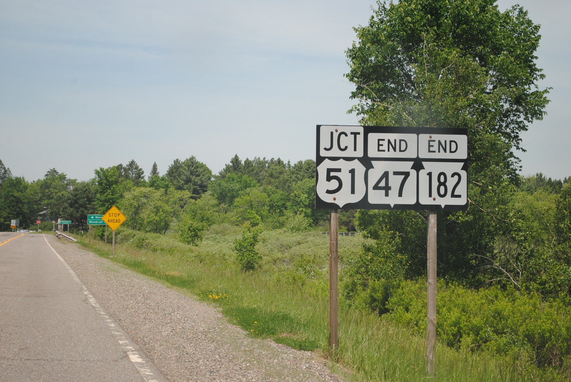
State Trunk Highway 182 (often called Highway 182, STH-182 or WIS 182) is a state highway in Price and Iron counties in northwestern Wisconsin, United States, that runs east–west from Park Falls to Manitowish. Route description WIS 182 begins at a signal–controlled intersection with Wisconsin Highway 13 (WIS 13/South 4th Avenue) in western downtown Park Falls. (From the intersection the city street continues west as 1st Street South for one block before ending at South 5th Avenue. WIS 13 heads north as South 4th Avenue, but quickly becomes North 4th Avenue, toward Butternut, Mellen, and Ashland. WIS 13 heads south as South 4th Avenue toward Fifield, Phillips, and Prentice.) For its entire length, WIS 182 is a two-lane road. From its western terminus, WIS 182 heads east as 1st Street South for about before crossing over the Flambeau River. East of the river the road is signed as Birch Street. Roughly after the ... [...More Info...] [...Related Items...] OR: [Wikipedia] [Google] [Baidu] |
Highway 169 (Wisconsin)
State Trunk Highway 169 (often called Highway 169, STH-169 or WIS 169) is a state highway in the US state of Wisconsin. It runs in north–south in northwest Wisconsin from Mellen to near Gurney. It helps accommodate traffic to the scenic Copper Falls State Park just northeast of its termination in Mellen. Route description The highway starts at its southern terminus on the northeast side of Mellen at WIS 13. It follows Copper Drive falls over the Bad River and turn northward along the eastern edge of Copper Falls State Park. The highway turns eastward to leave the vicinity of the park before alternating east and northward through rural Ashland County. WIS 169 crosses the Tyler Forks on one of these northbound sections before turning east to run along the border of the Bad River Reservation. The highway curves northeasterly and clips the southeastern corner of the reservation before crossing into Iron County. The highway continues northward across the Potato River and ... [...More Info...] [...Related Items...] OR: [Wikipedia] [Google] [Baidu] |
Highway 122 (Wisconsin)
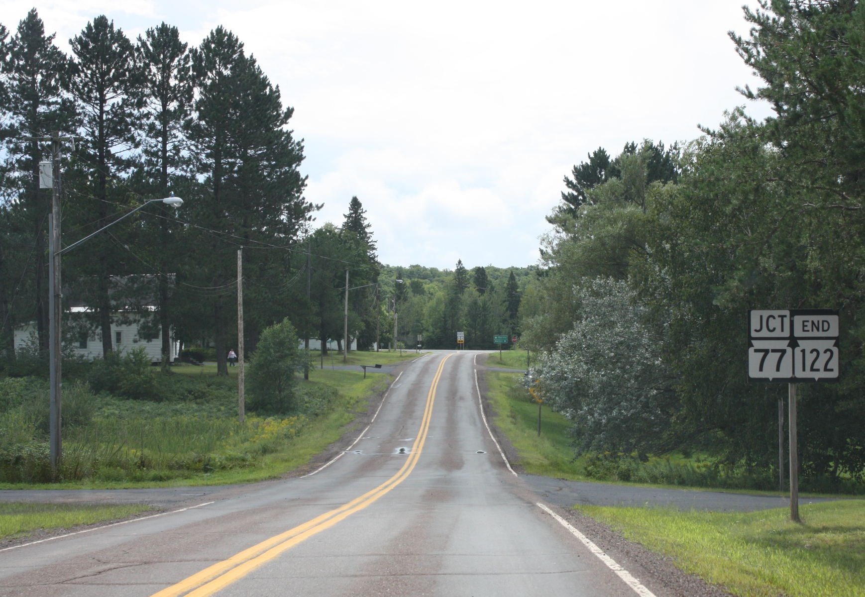
State Trunk Highway 122 (often called Highway 122, STH-122 or WIS 122) is a state highway in the US state of Wisconsin. It runs north–south from WIS 77 in Upson to the Michigan border near Saxon; the route is located entirely within Iron County. WIS 122 is maintained by the Wisconsin Department of Transportation (WisDOT). Route description WIS 122 begins at a junction with WIS 77 in the unincorporated community of Upson, Wisconsin. The highway heads northward through the town of Anderson. The route passes through a forested area and intersects County Trunk Highway E (CTH-E) before curving around Weber Lake. After passing the lake to the north, WIS 122 enters the Town of Saxon. It continues northward through the community of Saxon, meeting CTH-B and crossing a Canadian National railroad line within the community. The roadway intersects US Highway 2 (US 2) north of the community and continues northward to another intersection ... [...More Info...] [...Related Items...] OR: [Wikipedia] [Google] [Baidu] |
Highway 77 (Wisconsin)
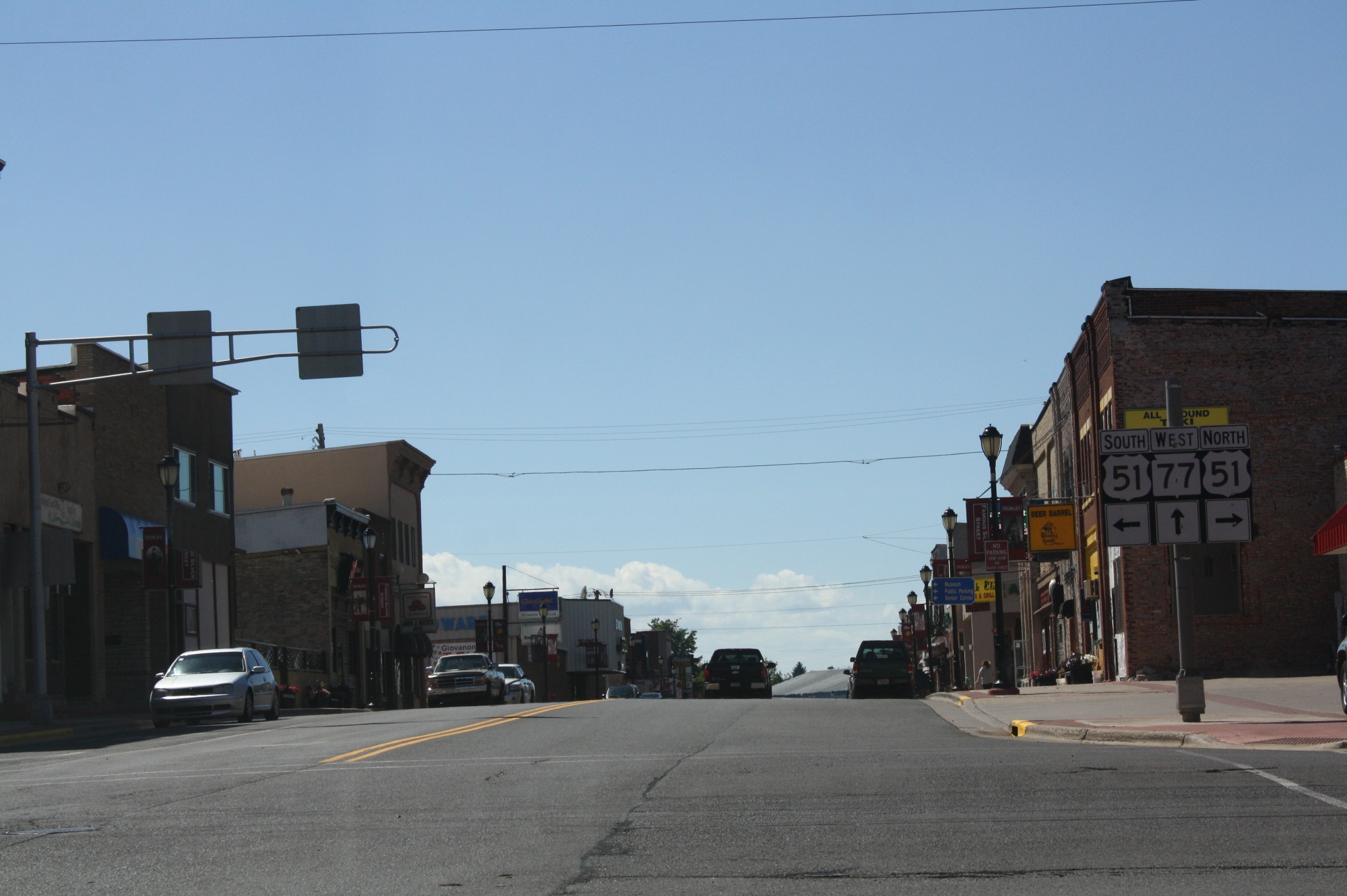
State Trunk Highway 77 (often called Highway 77, STH-77 or WIS 77) is a state highway in the U.S. state of Wisconsin. It runs east–west in northwest Wisconsin from the Minnesota border near Danbury to the Michigan border in Hurley. The highway was first designated in 1920 and was extended to the current routing sometime between 1948 and 1956. Route description The highway begins at the Minnesota state line along the St. Croix River as a continuation of MIN 48 and runs east from it. The highway passes by County Trunk Highway (CTH) F in Danbury and begins a concurrency with WIS 35 in the east of Danbury. The concurrency runs northeastward along the St. Croix River until the highway leaves the concurrency and runs eastward from it. The highway passes by a large amount of lakes and then curves to the north, meeting US 53 and its business route in Minong. It then runs east from it, intersecting with CTH-G. Between CTH-G and CTH-M, the highway runs southeast and crosses a rai ... [...More Info...] [...Related Items...] OR: [Wikipedia] [Google] [Baidu] |

.jpg)


