|
Irlbach Sandstone
The Dactyliocerassandstein Formation (also known as Epsilonkalksandstein Formation) is a Lower Jurassic (Lower Toarcian) geologic Geological formation, formation primarily located in Bavaria, Germany. The Formation appears on places like Bruck in der Oberpfalz, the north-east of the Banz Abbey, Wittelshofen, Regensburg and Bodenwöhr. In the astly foreland it extends from the Kulmbach area via Bayreuth, Creussen, Hirschau and Amberg to Schwandorf. Its southernmost known occurrences seems to be Schwandorf himself and Haselbach, Bavaria, Haselbach, although is also found at Bachhausen, far at the south. Is composed mostly by clusters of clay sandstone and sand-lime stone facies (shale, slightly bituminous in layers, and sandstone, lias sand, sand marl, marl, oolithic limestone and sand-lime banks) occurs only in the south-east of the northern Bavarian Jura region, for example at the edge of the granite Bavarian forest. On its northern edge, it is noticeably less tectonically disturbed ... [...More Info...] [...Related Items...] OR: [Wikipedia] [Google] [Baidu] |
Geological Formation
A geological formation, or simply formation, is a body of rock having a consistent set of physical characteristics ( lithology) that distinguishes it from adjacent bodies of rock, and which occupies a particular position in the layers of rock exposed in a geographical region (the stratigraphic column). It is the fundamental unit of lithostratigraphy, the study of strata or rock layers. A formation must be large enough that it can be mapped at the surface or traced in the subsurface. Formations are otherwise not defined by the thickness of their rock strata, which can vary widely. They are usually, but not universally, tabular in form. They may consist of a single lithology (rock type), or of alternating beds of two or more lithologies, or even a heterogeneous mixture of lithologies, so long as this distinguishes them from adjacent bodies of rock. The concept of a geologic formation goes back to the beginnings of modern scientific geology. The term was used by Abraham Gottlob Wer ... [...More Info...] [...Related Items...] OR: [Wikipedia] [Google] [Baidu] |
Bruck In Der Oberpfalz
Bruck in der Oberpfalz is a market town in the district of Schwandorf in the Upper Palatinate, Bavaria, Germany Germany,, officially the Federal Republic of Germany, is a country in Central Europe. It is the second most populous country in Europe after Russia, and the most populous member state of the European Union. Germany is situated betwe .... References Schwandorf (district) {{Schwandorfdistrict-geo-stub ... [...More Info...] [...Related Items...] OR: [Wikipedia] [Google] [Baidu] |
Haselbach, Bavaria
Haselbach is a municipality in the district of Straubing-Bogen in Bavaria, Germany. Geography Haselbach is located in the southern outskirts of the Bavarian Forest, approximately 11 kilometres (6,8 miles) north of the river Danube. The municipality comprises the village of Haselbach as well as 49 other named districts. History The village of Haselbach was first mentioned in 1130 and for centuries belonged to the estates of the Oberalteich monastery. At the end of the 17th century, the Danse-Macabre chapel, which today is the village's landmark and represented in the coat of arms, was built in the churchyard surrounding St. James' church. The municipality in its current form was established in 1818 in the course of administrative reforms in the kingdom of Bavaria Bavaria ( ; ), officially the Free State of Bavaria (german: Freistaat Bayern, link=no ), is a state in the south-east of Germany. With an area of , Bavaria is the largest German state by land area, comprising ... [...More Info...] [...Related Items...] OR: [Wikipedia] [Google] [Baidu] |
Schwandorf
Schwandorf is a town on the river Naab in the Upper Palatinate, Bavaria, Germany, which is the seat of the Schwandorf district. Sights * Catholic parish church of St. Jakob * Kreuzberg Church: Catholic parish, monastic and pilgrimage church of Mary Help of Christians on the Kreuzberg Politics Schwandorf (electoral district) Sports The towns association football club, 1. FC Schwandorf, experienced its greatest success in the late 1950s and 1960 when it spent thirteen seasons in the third division Bayernliga. Twin towns – sister cities Schwandorf is twinned with: * Libourne Libourne (; oc, label= Gascon, Liborna ) is a commune in the Gironde department in Nouvelle-Aquitaine in southwestern France. It is a sub-prefecture of the department. It is the wine-making capital of northern Gironde and lies near Saint-Émil ..., France * Sokolov, Czech Republic References Schwandorf (district) {{Schwandorfdistrict-geo-stub ... [...More Info...] [...Related Items...] OR: [Wikipedia] [Google] [Baidu] |
Amberg
Amberg () is a town in Bavaria, Germany. It is located in the Upper Palatinate, roughly halfway between Regensburg and Bayreuth. In 2020, over 42,000 people lived in the town. History The town was first mentioned in 1034, at that time under the name Ammenberg. It became an important trading centre in the Middle Ages, exporting mainly iron ore and iron products. In 1269, together with Bamberg, the town became subordinate to the Wittelsbach dynasty that ruled Bavaria. In 1329 the town and the entire region fell to the Palatinate branch of the Wittelsbach family. The region adopted the name Upper Palatinate. It was no longer part of the duchy of Bavaria politically, though in geographic terms it was regarded as Bavarian and the region was part of the Bavarian circle in the organization of the Imperial Circles. In the 16th century, the rulers of Upper Palatinate turned to Protestantism. The town turned to Lutheranism. Later attempts of the ruling family to introduce the more rad ... [...More Info...] [...Related Items...] OR: [Wikipedia] [Google] [Baidu] |
Hirschau
Hirschau () is a municipality in the Amberg-Sulzbach district, Upper Palatinate, Bavaria, Germany. Geography Hirschau lies directly on the Bundesstraße 14 (Nuremberg - Rozvadov), 13 km northeast of Amberg and about 65 km east of Nuremberg. Apart from the main village Hirschau, the municipality consists of the following villages: *Burgstall *Dienhof *Ehenfeld *Krickelsdorf *Kricklhof *Krondorf *Massenricht *Obersteinbach *Steiningloh *Untersteinbach *Weiher Economy Kaolin, used for the production of porcelain, has been mined at Hirschau since 1901. Interesting is the Monte Kaolino, a 120 meter high mound made from 32,000,000 tons of quartz sand from excess sand in years of operation. It is now used as a (sand) skiing/camping resort during the summer months. It is also the place where the yearly Sandboarding Sandboarding is a boardsport and extreme sport similar to snowboarding that involves riding across or down a sand dune while standing on a board, either wit ... [...More Info...] [...Related Items...] OR: [Wikipedia] [Google] [Baidu] |
Bayreuth
Bayreuth (, ; bar, Bareid) is a town in northern Bavaria, Germany, on the Red Main river in a valley between the Franconian Jura and the Fichtelgebirge Mountains. The town's roots date back to 1194. In the 21st century, it is the capital of Upper Franconia and has a population of 72,148 (2015). It hosts the annual Bayreuth Festival, at which performances of operas by the 19th-century German composer Richard Wagner are presented. History Middle Ages and Early Modern Period The town is believed to have been founded by the counts of Andechs probably around the mid-12th century,Mayer, Bernd and Rückel, Gert (2009). ''Bayreuth – Tours on Foot'', Heinrichs-Verlag, Bamberg, p.5, . but was first mentioned in 1194 as ''Baierrute'' in a document by Bishop Otto II of Bamberg. The syllable ''-rute'' may mean ''Rodung'' or "clearing", whilst ''Baier-'' indicates immigrants from the Bavarian region. Already documented earlier, were villages later merged into Bayreuth: Seulbitz (in 1 ... [...More Info...] [...Related Items...] OR: [Wikipedia] [Google] [Baidu] |
Kulmbach
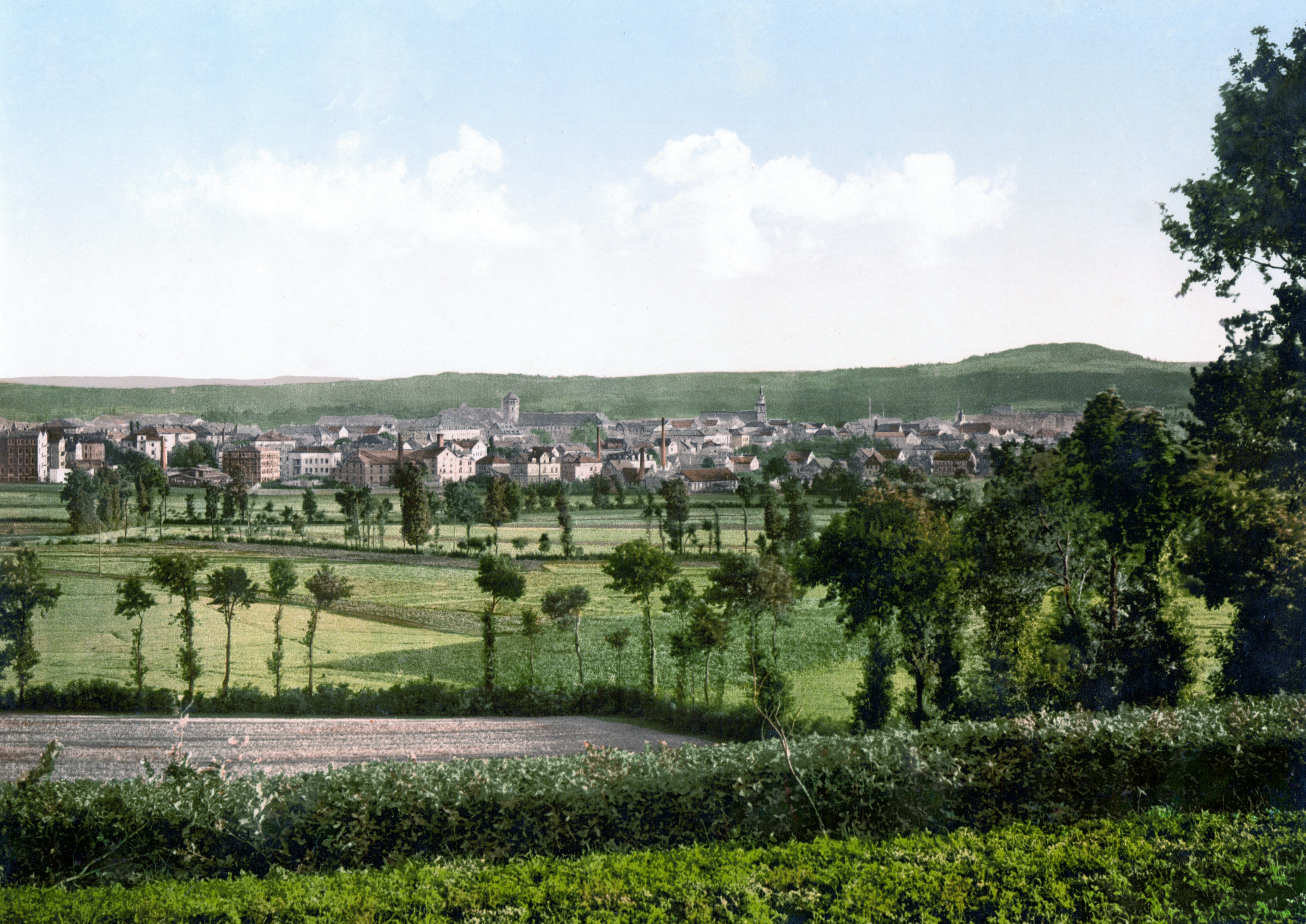
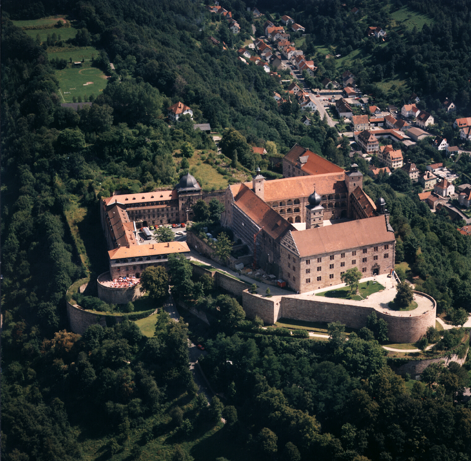
Kulmbach () is the capital of the district of Kulmbach in Bavaria in Germany. The town is famous for Plassenburg Castle, which houses the largest tin soldier museum in the world, and for its sausages, or ''Bratwürste''. Geography Location Kulmbach is located in the middle of the Bavarian province of Upper Franconia, about northwest of the city of Bayreuth. To the south of Kulmbach, the River Main begins at the confluence of its headstreams, the White Main and Red Main. Town districts Kulmbach is divided into the following districts (with population in brackets): History From about 900 AD there was a small settlement in what is now the district of Spiegel, which consisted of a forest lodge and a fortified tenant farm (''Fronhof'') to protect the river Main crossing at Grünwehr. The area later passed into the hands of the Count of Schweinfurt, whose power was usually exercised through the office of the . Kulmbach was first mentioned as ''Kulma'' in a deed of gift ... [...More Info...] [...Related Items...] OR: [Wikipedia] [Google] [Baidu] |
Bodenwöhr
Bodenwöhr is a municipality in the district of Schwandorf Schwandorf is a town on the river Naab in the Upper Palatinate, Bavaria, Germany, which is the seat of the Schwandorf district. Sights * Catholic parish church of St. Jakob * Kreuzberg Church: Catholic parish, monastic and pilgrimage church of ... in Bavaria, Germany. References Schwandorf (district) {{Schwandorfdistrict-geo-stub ... [...More Info...] [...Related Items...] OR: [Wikipedia] [Google] [Baidu] |


