|
Iowa Senate, District 9
The 9th District of the Iowa Senate is located in southwestern Iowa, and is currently composed of Adams County, Iowa, Adams, Cass County, Iowa, Cass, Montgomery County, Iowa, Montgomery, Page County, Iowa, Page, Ringgold County, Iowa, Ringgold, Taylor County, Iowa, Taylor, and part of Union County, Iowa, Union counties. Current elected officials Tom Shipley (politician) is the senator currently representing the 9th District. The area of the 9th District contains two Iowa House of Representatives districts: *The Iowa House of Representatives, District 17, 17th District (represented by Devon Wood) *The Iowa House of Representatives, District 18, 18th District (represented by Tom Moore (politician)) The district is also located in Iowa's 3rd congressional district, which is represented by U.S. Representative Zach Nunn. List of representatives Historical District Boundaries Source: See also *Iowa General Assembly *Iowa Senate References Iowa Senate districts, 09 ... [...More Info...] [...Related Items...] OR: [Wikipedia] [Google] [Baidu] |
Tom Shipley (politician)
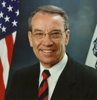
Tom Shipley (born 1953) is the Iowa State Senator from the 9th District. A Republican, he has served in the Iowa Senate since 2015. He currently resides in Corning, Iowa Corning is a city in Quincy Township, Adams County, Iowa, Quincy Township, Adams County, Iowa, Adams County, Iowa, United States. The population was 1,564 at the 2020 United States Census, 2020 census. It is the county seat of Adams County. Cornin .... As of February 2020, Shipley serves on the following committees: Natural Resources and Environment (Vice Chair)), Agriculture, Appropriations, Judiciary, and Transportation. He also serves on the Agriculture and Natural Resources Appropriations Subcommittee (Chair), as well as the Iowa Commission on Interstate Cooperation. Shipley was elected in 2014 with 17,681 votes, running unopposed. References External links Senator Tom Shipley''official Iowa Legislature site''Senator Tom Shipleyat Iowa Senate Republican Caucus Republican Party Iowa state ... [...More Info...] [...Related Items...] OR: [Wikipedia] [Google] [Baidu] |
Whig Party (United States)
The Whig Party was a political party in the United States during the middle of the 19th century. Alongside the slightly larger Democratic Party, it was one of the two major parties in the United States between the late 1830s and the early 1850s as part of the Second Party System. Four presidents were affiliated with the Whig Party for at least part of their terms. Other prominent members of the Whig Party include Henry Clay, Daniel Webster, Rufus Choate, William Seward, John J. Crittenden, and John Quincy Adams. The Whig base of support was centered among entrepreneurs, professionals, planters, social reformers, devout Protestants, and the emerging urban middle class. It had much less backing from poor farmers and unskilled workers. The party was critical of Manifest Destiny, territorial expansion into Texas and the Southwest, and the Mexican-American War. It disliked strong presidential power as exhibited by Jackson and Polk, and preferred Congressional dominance in lawma ... [...More Info...] [...Related Items...] OR: [Wikipedia] [Google] [Baidu] |
Des Moines County, Iowa
Des Moines County is located in the U.S. state of Iowa. As of the 2020 census, the population was 38,910. The county seat and largest city is Burlington. It is one of Iowa's two original counties along with Dubuque County; both were organized by the Michigan Territorial legislature in 1834. Des Moines County is part of the Burlington, IA– IL Micropolitan Statistical Area. Des Moines County should not be confused with the city of Des Moines, which is the capital of Iowa. Des Moines County sits on Iowa's eastern border alongside the Mississippi River. The city of Des Moines is in Polk County in central Iowa. Both places derive their name from the Des Moines River, which flows through the city of Des Moines and originally flowed through the county. When the county was divided early in Iowa's history, the river ended up further west, forming the border between Lee County, Iowa and the state of Missouri. History At an extra session of the Sixth Legislative Assembly of Mic ... [...More Info...] [...Related Items...] OR: [Wikipedia] [Google] [Baidu] |
Burlington, Iowa
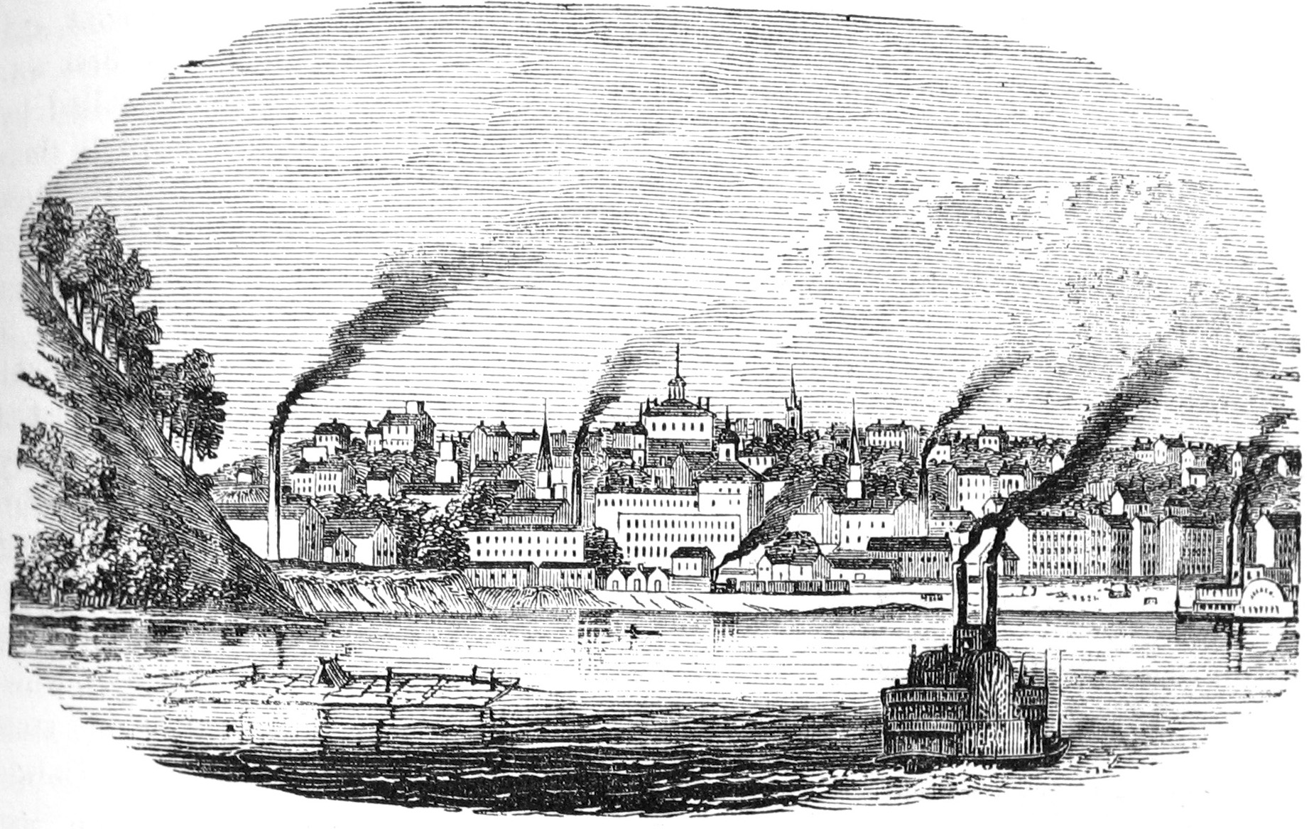
Burlington is a city in, and the county seat of, Des Moines County, Iowa, United States. The population was 23,982 in the 2020 census, a decline from the 26,839 population in 2000. Burlington is the center of a micropolitan area, which includes West Burlington and Middletown, Iowa, and Gulfport, Illinois. Burlington is the home of Snake Alley, the most crooked street. History Prior to European settlement, the area was neutral territory for the Sac and Fox Native American tribes, who called it Shoquoquon (''Shok-ko-kon''), meaning Flint Hills. In 1803, President Thomas Jefferson organized two parties of explorers to map the Louisiana Purchase. The Lewis and Clark Expedition followed the Missouri River, while Lt. Zebulon Pike followed the Mississippi River. In 1805, Pike landed at the bluffs below Burlington and raised the United States Flag for the first time on what would become Iowa soil and recommended construction of a fort. The recommendation went unheeded. The Am ... [...More Info...] [...Related Items...] OR: [Wikipedia] [Google] [Baidu] |
Henry County, Iowa
Henry County is a county located in the U.S. state of Iowa. As of the 2020 census, the population was 20,482. The county seat is Mount Pleasant. The county was named for General Henry Dodge, governor of Wisconsin Territory. History Henry County was formed on December 7, 1836, under the jurisdiction of Wisconsin Territory, and became a part of Iowa Territory when the Iowa Territory was formed on July 4, 1838. It was named for General Henry Dodge. The county's first courthouse was built in 1839–1840. A larger courthouse was built in 1871, and the present courthouse was raised in the twentieth century, being placed into service on August 4, 1914. Geography According to the U.S. Census Bureau, the county has a total area of , of which is land and (0.5%) is water. Major highways * U.S. Highway 34 * U.S. Highway 218/Iowa Highway 27 * Iowa Highway 16 * Iowa Highway 78 Transit * Mount Pleasant station * List of intercity bus stops in Iowa Adjacent counties * Washington Count ... [...More Info...] [...Related Items...] OR: [Wikipedia] [Google] [Baidu] |
Abraham Lincoln
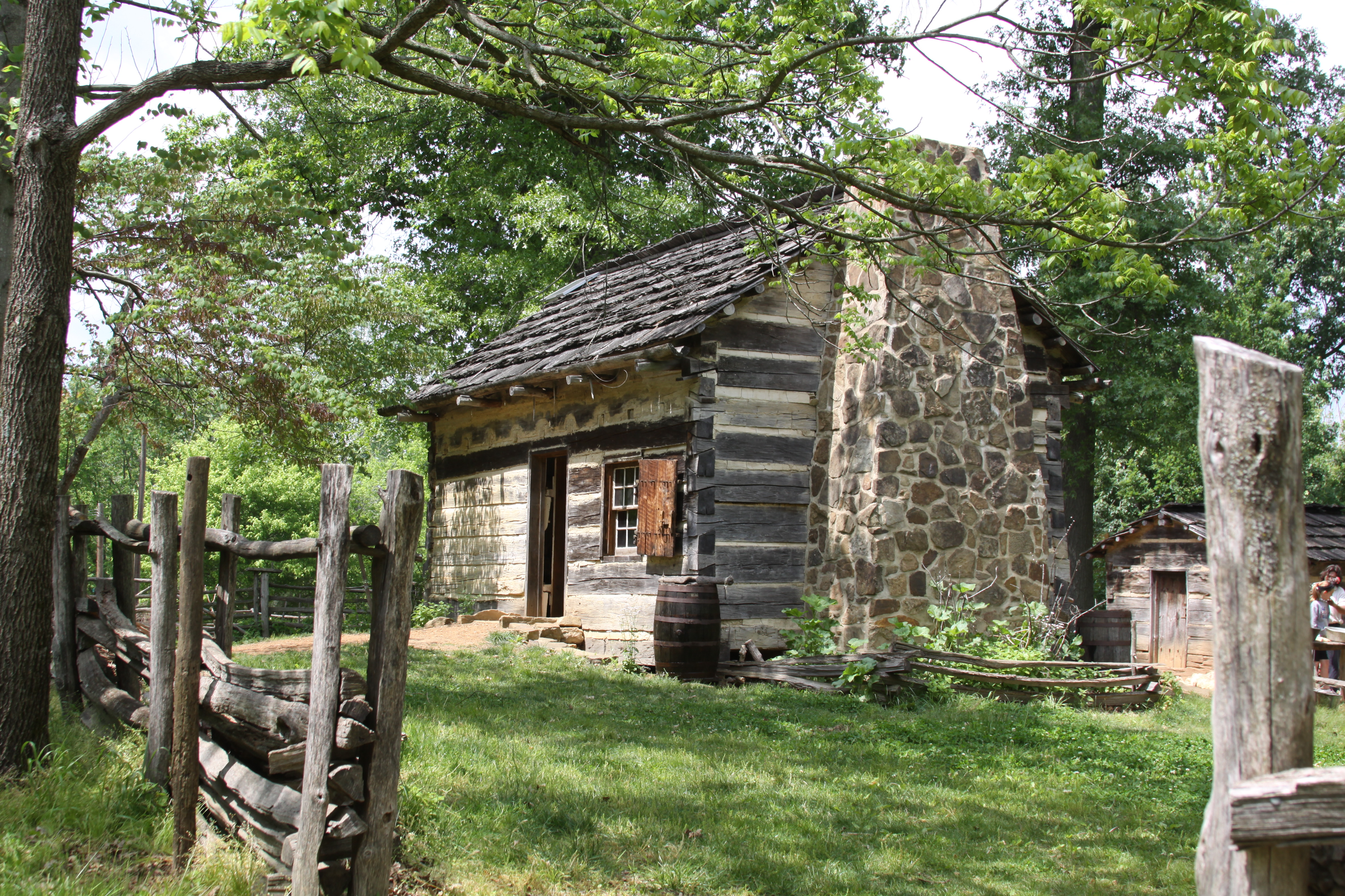
Abraham Lincoln ( ; February 12, 1809 – April 15, 1865) was an American lawyer, politician, and statesman who served as the 16th president of the United States from 1861 until his assassination in 1865. Lincoln led the nation through the American Civil War and succeeded in preserving the Union, abolishing slavery, bolstering the federal government, and modernizing the U.S. economy. Lincoln was born into poverty in a log cabin in Kentucky and was raised on the frontier, primarily in Indiana. He was self-educated and became a lawyer, Whig Party leader, Illinois state legislator, and U.S. Congressman from Illinois. In 1849, he returned to his successful law practice in central Illinois. In 1854, he was angered by the Kansas–Nebraska Act, which opened the territories to slavery, and he re-entered politics. He soon became a leader of the new Republican Party. He reached a national audience in the 1858 Senate campaign debates against Stephen A. Douglas. ... [...More Info...] [...Related Items...] OR: [Wikipedia] [Google] [Baidu] |
Nebraska Territory
The Territory of Nebraska was an organized incorporated territory of the United States that existed from May 30, 1854, until March 1, 1867, when the final extent of the territory was admitted to the Union as the State of Nebraska. The Nebraska Territory was created by the Kansas–Nebraska Act of 1854. The territorial capital was Omaha. The territory encompassed areas of what is today Nebraska, Wyoming, South Dakota, North Dakota, Colorado, and Montana. History An enabling act was passed by Congress in 1864. Delegates for a constitutional convention were elected; this convention did not produce a constitution. Two years later, in 1866, a constitution was drafted and voted upon. It was approved by 100 votes. However, a clause in this constitution that limited suffrage to "free white males" delayed Nebraska's entry into the Union for almost a year. The 1866 enabling act for the state was subject to a pocket veto by President Andrew Johnson. When Congress reconvened in 1867, it ... [...More Info...] [...Related Items...] OR: [Wikipedia] [Google] [Baidu] |
Mount Pleasant, Iowa
Mount Pleasant is a city in and the county seat of Henry County, Iowa. The population was 9,274 in the 2020 census, an increase from 8,668 in the 2010 census. It was founded in 1835 by pioneer Presley Saunders. History The first permanent settlement at Mount Pleasant was made in 1833. Mount Pleasant was incorporated as a town in 1842, and again in 1851. In 1869, Mount Pleasant was the site of a solar eclipse expedition, under the command of James Craig Watson and sponsored by ''National Almanac.'' The total solar eclipse occurred on August 7, 1869. In the Union Block building in 1869, Arabella A. Mansfield became the first woman in the United States to be awarded a license to practice law. She had passed the bar exam with high scores and won a court case for entry to the bar. The legislature changed its statute. The third floor of the Union Block housed the Opera House or Union Hall, a gathering place for the community. It attracted national speakers on tour, including ... [...More Info...] [...Related Items...] OR: [Wikipedia] [Google] [Baidu] |
Albia, Iowa
Albia is a city in and the county seat of Monroe County, in southern Iowa, United States. The population was 3,721 at the 2020 census. The city of Albia is known for its historic square and city-wide Victorian Architecture. Albia is also known for the annual "Restoration" days celebration which commemorates the refurbishment of the square and the town which began in the mid-1960s. History Albia was incorporated as a town in 1856. The town was named after Albia, New York, the former home of an early settler. On Feb. 14, 1893, there was a coal mine explosion in the Chicago and Iowa mine, about 2.5 miles west of Albia. This room and pillar mine had opened around 1877. By the time of the explosion, mining extended more than 1,000 yards from the hoisting shaft, and the mine employed 60 miners and 20 other men. One miner was killed outright and seven died later of their injuries, after a "shot" (gunpowder charge used to bring down the coal) ignited a dust explosion in the mine. Th ... [...More Info...] [...Related Items...] OR: [Wikipedia] [Google] [Baidu] |
Iowa Republican Party
The Republican Party of Iowa (RPI) is the affiliate of the United States Republican Party in Iowa. The State Central Committee is chaired by Jeff Kaufmann. The RPI operates the Republican side of the Iowa caucuses and previously sponsored the Iowa Straw Poll. Officeholders As of 2020, the Republican Party controls four of the seven statewide offices in Iowa and a majority in the Iowa House of Representatives. Republicans also hold both of the state's U.S. Senate seats and three of its four U.S. House seats. Members of Congress U.S. Senate * Chuck Grassley * Joni Ernst U.S. House of Representatives *Ashley Hinson, 1st District *Mariannette Miller-Meeks, 2nd District * Randy Feenstra, 4th District Statewide offices * Governor: Kim Reynolds * Lieutenant Governor: Adam Gregg * Secretary of State: Paul Pate * Secretary of Agriculture: Mike Naig State Central Committee The State Central Committee of the Republican Party of Iowa is composed of the National Committeeman and ... [...More Info...] [...Related Items...] OR: [Wikipedia] [Google] [Baidu] |
Appanoose County, Iowa
Appanoose County is a county in the U.S. state of Iowa. As of the 2020 census, the population was 12,317. Its county seat is Centerville. History Appanoose County was formed on February 17, 1843, from open territory. It was named for the Meskwaki Chief Appanoose, who did not engage in war against Black Hawk, advocating peace. The present county seat was formerly called Chaldea, and was later renamed to Senterville in honor of Congressman William Tandy Senter of Tennessee. In April 1848, the courthouse, constructed at the expense of $160, was put into use and served as such until 1857. The second courthouse was opened in 1864, and was burned down to the first floor during an explosive Fourth of July fireworks demonstration. The third courthouse was dedicated on May 21, 1903, and remains in use. In the summer of 1832 a company of cavalry set out from Davenport on a reconnaissance which extended as far west as Fort Leavenworth. They passed through what would become Appano ... [...More Info...] [...Related Items...] OR: [Wikipedia] [Google] [Baidu] |
Centerville, Iowa
Centerville is a city in and the county seat of Appanoose County, Iowa, Appanoose County, Iowa, United States. The population was 5,412 in the 2020 United States Census, 2020 census, a decline from 5,924 in 2000 United States Census, 2000. After the turn of the 20th century Centerville's coal mining industry attracted European immigrants from Sweden, Italy, Croatia, and Albania. Centerville is also home of the largest town square in the state of Iowa. History Founded in 1846 by Jonathon Stratton under the name of "Chaldea," the city was planned around a unique two-block long city square. The name was later changed to Senterville, named after William Tandy Senter, a prominent Tennessee politician. When municipal corporation, incorporation papers were filed in 1855, someone mistook the name for a misspelling and corrected it to Centerville. A mining town The first coal mine in Centerville was opened in 1868, with its shaft mining, mine shaft about one-half mile from the Chica ... [...More Info...] [...Related Items...] OR: [Wikipedia] [Google] [Baidu] |


