|
Innisfail Water Tower
Innisfail Water Tower is a heritage-listed water tower at Mourilyan Street, East Innisfail, Cassowary Coast Region, Queensland, Australia. It was built from 1933 to 1934 by Van Leeuwen Brothers. It was added to the Queensland Heritage Register on 6 August 2010. History The Innisfail Water Tower was built during 1933 and 1934 and was part of a significant infrastructure project in one of Queensland's most important sugar-growing regions. Designed by the Irrigation and Water Supply Sub-Department of the Queensland Lands Department, it is situated on Mellick's Hill at East Innisfail from where it is visible from all parts of the town of Innisfail making it an important landmark. In the early 1930s Innisfail was the principal town in the Johnstone Shire and an important regional service centre in one of its major sugar-producing districts. Thomas Henry Fitzgerald is credited with the town's establishment, attracted to the area because of its potential for growing sugar. With ... [...More Info...] [...Related Items...] OR: [Wikipedia] [Google] [Baidu] |
East Innisfail, Queensland
East Innisfail is a suburban locality in the Cassowary Coast Region, Queensland, Australia. In the East Innisfail had a population of 1,855 people. Geography The locality is bounded by the Johnstone River to the north, by its tributary the South Johnstone River to the west and by Marty Street to the south. East Innisfail is directly linked to the Innisfail CBD via the new Jubilee Bridge () over the South Johnstone River. History Historically the suburb was linked to the CBD by the original Jubilee Bridge, which was built in 1923. Land for a school was secured by the Department of Lands in 1935. Innisfail East State School opened on 6 March 1936. In 1930 the local Methodists relocated a church from Chillagoe to Mourilyan Road, East Innisfail. Radiant Life Christian College opened on 13 February 1982. At the 2006 census East Innisfail had a population of 1,608. [...More Info...] [...Related Items...] OR: [Wikipedia] [Google] [Baidu] |
Queensland Government
The Queensland Government is the democratic administrative authority of the Australian state of Queensland. The Government of Queensland, a parliamentary constitutional monarchy was formed in 1859 as prescribed in its Constitution, as amended from time to time. Since the Federation of Australia in 1901, Queensland has been a State of Australia, with the Constitution of Australia regulating the relationships between all state and territory governments and the Australian Government. Under the Australian Constitution, all states and territories (including Queensland) ceded powers relating to certain matters to the federal government. The government is influenced by the Westminster system and Australia's federal system of government. The Governor of Queensland, as the representative of Charles III, King of Australia, holds nominal executive power, although in practice only performs ceremonial duties. In practice executive power lies with the Premier and Cabinet. The Cabinet of ... [...More Info...] [...Related Items...] OR: [Wikipedia] [Google] [Baidu] |
Iron Railing
An iron railing is a fence made of iron. This may either be wrought iron, which is ductile and durable and may be hammered into elaborate shapes when hot, or the cheaper cast iron, which is of low ductility and quite brittle. Cast iron can also produce complicated shapes, but these are created through the use of moulds of compressed sand rather than hammering, which would be likely to damage the iron. Fleming, John & Hugh Honour. (1977) ''The Penguin Dictionary of Decorative Arts. '' London: Allen Lane, pp. 398–399. History One of the earliest uses of cast iron railings in England was in 1710–14 at St Paul's Cathedral, despite the objections of Christopher Wren, who did not want a fence around the Cathedral at all, and said that if there had to be one it should be of wrought rather than cast iron.Railings M.209 ... [...More Info...] [...Related Items...] OR: [Wikipedia] [Google] [Baidu] |
Capital (architecture)
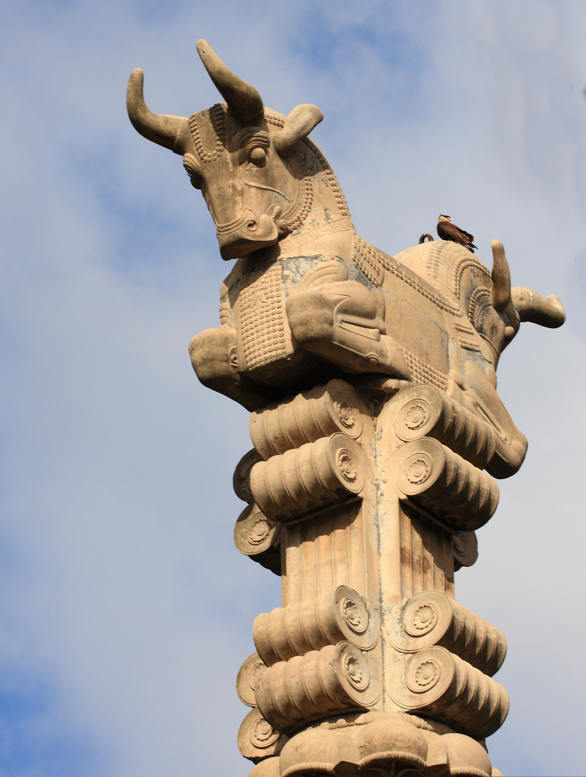
In architecture the capital (from the Latin ''caput'', or "head") or chapiter forms the topmost member of a column (or a pilaster). It mediates between the column and the load thrusting down upon it, broadening the area of the column's supporting surface. The capital, projecting on each side as it rises to support the abacus, joins the usually square abacus and the usually circular shaft of the column. The capital may be convex, as in the Doric order; concave, as in the inverted bell of the Corinthian order; or scrolling out, as in the Ionic order. These form the three principal types on which all capitals in the classical tradition are based. The Composite order established in the 16th century on a hint from the Arch of Titus, adds Ionic volutes to Corinthian acanthus leaves. From the highly visible position it occupies in all colonnaded monumental buildings, the capital is often selected for ornamentation; and is often the clearest indicator of the architectural orde ... [...More Info...] [...Related Items...] OR: [Wikipedia] [Google] [Baidu] |
Ingham, Queensland
Ingham is a rural town and locality in the Shire of Hinchinbrook, Queensland, Australia. In the , the locality of Ingham had a population of 4,426 people. It is named after William Bairstow Ingham and is the administrative centre for the Shire of Hinchinbrook. Geography Ingham is approximately north of Townsville and north of the state capital, Brisbane. The town is positioned about 17 km inland within the Herbert River floodplain where Palm Creek drains the low-lying lands. It is surrounded by sugar cane farms which are serviced by a number of private railways The North Coast railway line passes through the town, which is served by the Ingham railway station. The Bruce Highway also passes through the town. Tokalon is neighbourhood in the south-east of the locality (). It takes its name from the Tokalon railway station, which was named by the Queensland Railways Department on 24 December 1924, from the name of a local selection. ''Tokalan'' is an Aboriginal word meanin ... [...More Info...] [...Related Items...] OR: [Wikipedia] [Google] [Baidu] |
Longreach, Queensland
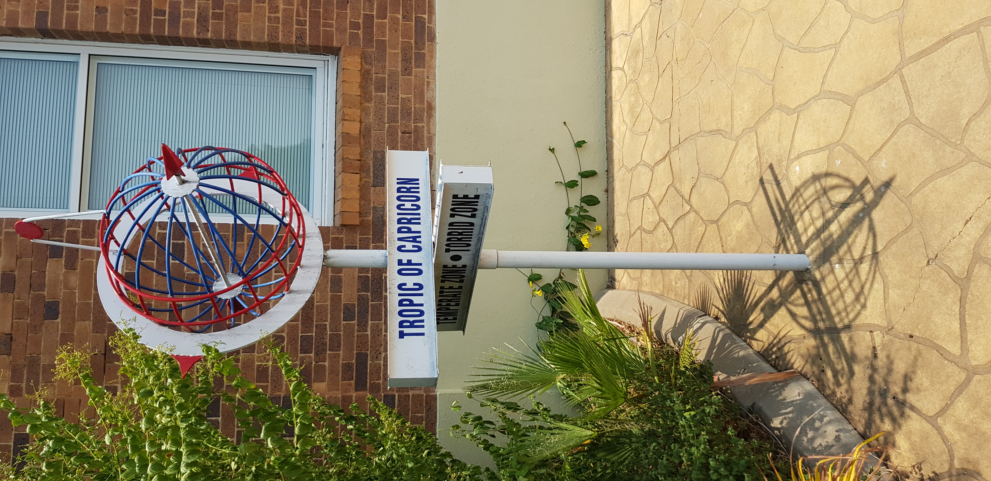
Longreach is a town and a locality in the Longreach Region, Queensland, Australia. It is the administrative centre of the Longreach Regional Council, which was established in 2008 as a merger of the former Longreach, Ilfracombe, and Isisford shires. Longreach is a well known tourist destination due to its aviation history and importance. In the , the locality of Longreach had a population of 3,124 people. Geography Longreach is in Central West Queensland, approximately from the coast, west of Rockhampton. The town is on the Tropic of Capricorn in the south-east of the locality. The town is named after the ‘long reach’ of the Thomson River on which it is situated. Lochern National Park is in the south-western part of the locality (formerly in Vergemont). The main industries of the area are cattle, sheep, and, more recently, tourism. The Landsborough Highway enters the locality from the south-east (Ilfracombe), passes through the town and then exits to the north-west ... [...More Info...] [...Related Items...] OR: [Wikipedia] [Google] [Baidu] |
Gatton, Queensland
Gatton is a rural town and locality in the Lockyer Valley Region, Queensland, Australia. In the , the locality of Gatton had a population of 7,101 people. It is the administrative centre of the Lockyer Valley situated in the Lockyer Valley of South East Queensland. Recently, the rural character of the Gatton area has started to be encroached on by the suburban sprawl of metropolitan Brisbane and Ipswich in the east and Toowoomba in the west. The Warrego Highway, which runs east–west through the Shire, has also experienced increasing strip development, with fuel outlets and commercial properties gradually spreading along the highway. History Prior to European settlement, the area was occupied by members of the Yuggera Aboriginal language group. Jagara is one of the Aboriginal languages of South-East Queensland. There is some uncertainty over the status of Jagara as a language, dialect, or a group or clan within the local government boundaries of Ipswich City Council, Locky ... [...More Info...] [...Related Items...] OR: [Wikipedia] [Google] [Baidu] |
Gordonvale, Queensland
Gordonvale is a rural sugar-growing town and locality situated on the southern side of Cairns in the Cairns Region, Queensland, Australia. In the , the locality of Gordonvale had a population of 6,944 people. Geography Gordonvale lies approximately south of the Cairns central business district and is just east of the Gillies Range which leads to the Atherton Tableland. The locality is bounded to the south-east by the Mulgrave River. The land is generally flat and low-lying (approx above sea level), but on the eastern, southern and western boundaries of the locality the land begins to rise sharply as the locality is surrounded by mountainous terrain formating part of a number of ranges: Islet Hills to the north-west, Lamb Range to the south-west, Bellenden Ker Range to the south, and Thompson Range to the east. The predominant land use in the locality is growing sugarcane. The town of Gordonvale is on the Mulgrave River and is on the south-eastern edge of the locality. The ... [...More Info...] [...Related Items...] OR: [Wikipedia] [Google] [Baidu] |
Emerald, Queensland
Emerald is a rural town and locality in the Central Highlands Region, Queensland, Australia. In the , Emerald had a population of 14,906 people. The town is the headquarters for the Central Highlands Regional Council. Geography Emerald lies on the Nogoa River, a tributary of the Fitzroy River. The town lies approximately from the Coral Sea coast and approximately 270 km west of the city of Rockhampton by road at the junction of the Capricorn and Gregory highways. Emerald sits approximately 10 km south of the Tropic of Capricorn. History The traditional owners include the Gayiri people who occupied the area for tens of thousands of years before European colonisation began in the nineteenth century. The Gayiri (Kairi, Khararya) language region takes in the landscape of the Central Highlands Region, including Emerald and the Nogoa River. The first European to explore the area was Ludwig Leichhardt between 1843 and 1845. The British Colony of Queensland was es ... [...More Info...] [...Related Items...] OR: [Wikipedia] [Google] [Baidu] |
Innisfail Water Tower, A Landmark In Innisfail, 2005
Innisfail may refer to: * Innisfail, Queensland, a town in the Cassowary Coast Region, Australia * Innisfail, Alberta, town in Canada * Inisfail, poetic name for Ireland See also * Innisfil, town in Ontario, Canada {{Disambiguation ... [...More Info...] [...Related Items...] OR: [Wikipedia] [Google] [Baidu] |
Parapet
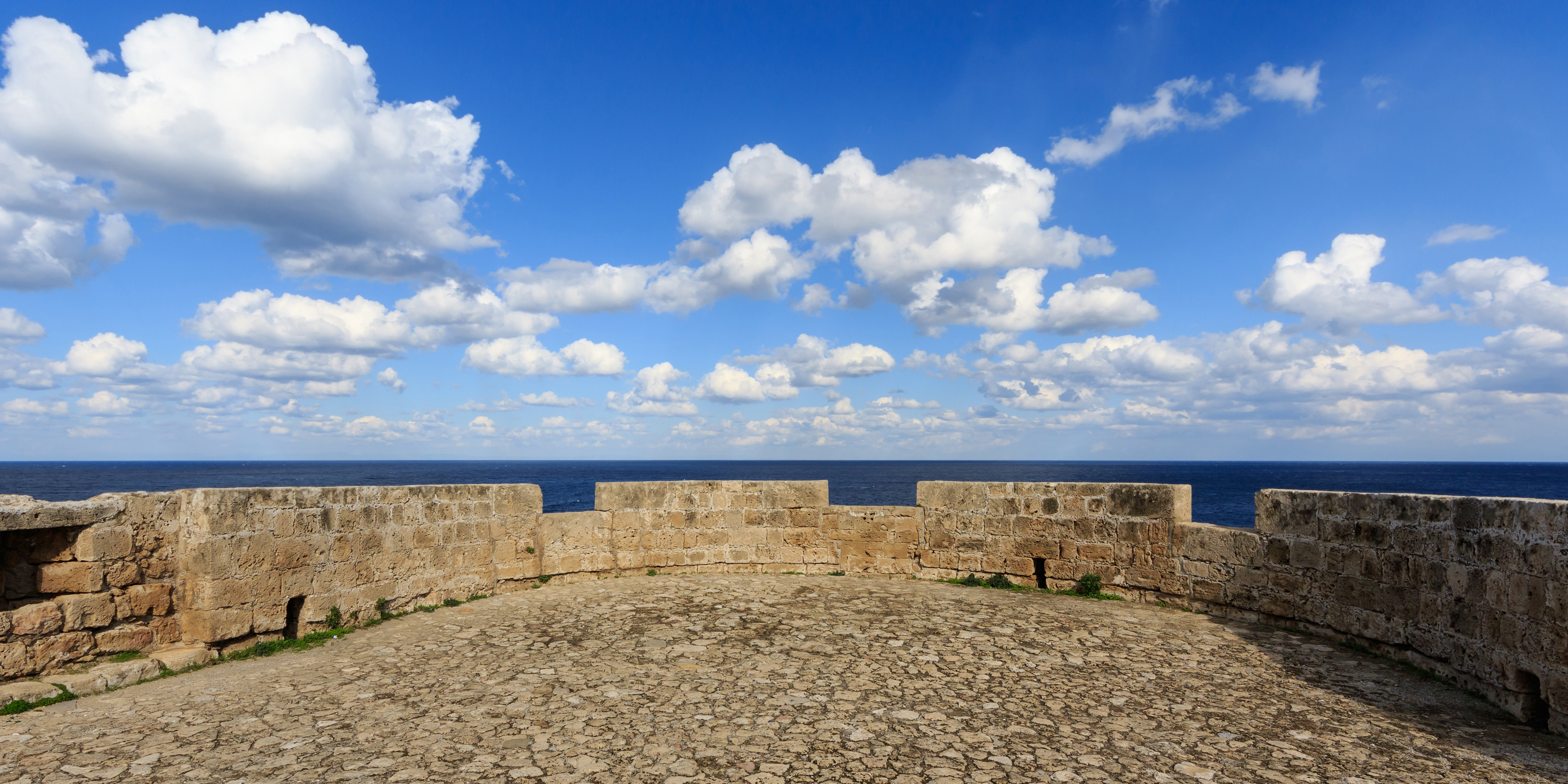
A parapet is a barrier that is an extension of the wall at the edge of a roof, terrace, balcony, walkway or other structure. The word comes ultimately from the Italian ''parapetto'' (''parare'' 'to cover/defend' and ''petto'' 'chest/breast'). Where extending above a roof, a parapet may simply be the portion of an exterior wall that continues above the edge line of the roof surface, or may be a continuation of a vertical feature beneath the roof such as a fire wall or party wall. Parapets were originally used to defend buildings from military attack, but today they are primarily used as guard rails, to conceal rooftop equipment, reduce wind loads on the roof, and to prevent the spread of fires. In the Bible the Hebrews are obligated to build a parapet on the roof of their houses to prevent people falling (Deuteronomy 22:8). Parapet types Parapets may be plain, embattled, perforated or panelled, which are not mutually exclusive terms. *Plain parapets are upward extensions of ... [...More Info...] [...Related Items...] OR: [Wikipedia] [Google] [Baidu] |
Johnstone Shire Hall
Johnstone Shire Hall is a heritage-listed town hall at 70 Rankin Street, Innisfail, Cassowary Coast Region, Queensland, Australia. It was designed by Hill & Taylor and built from 1935 to 1938 by Van Leeuwen Brothers. It was added to the Queensland Heritage Register on 13 January 1995. History The Johnstone Shire Hall was constructed for the Johnstone Shire Council in Innisfail from 1935-8, by the Van Leeuwen brothers to the design of Messrs Hill and Taylor at a cost of about . The Innisfail area was settled by cedar-cutters, with the first major planting of sugar cane occurring in 1880. The town was laid out at the junction of the South Johnstone and North Johnstone Rivers in 1881, and was known as Junction Point. The name of the town was changed to Geraldton in 1883, and to Innisfail in 1910. Innisfail was devastated first by a record flood in 1913, then by a cyclone in 1918, which destroyed many of the town's timber buildings. Despite these setbacks, the town prospered ... [...More Info...] [...Related Items...] OR: [Wikipedia] [Google] [Baidu] |


