|
Indigenous People Of The Philippines
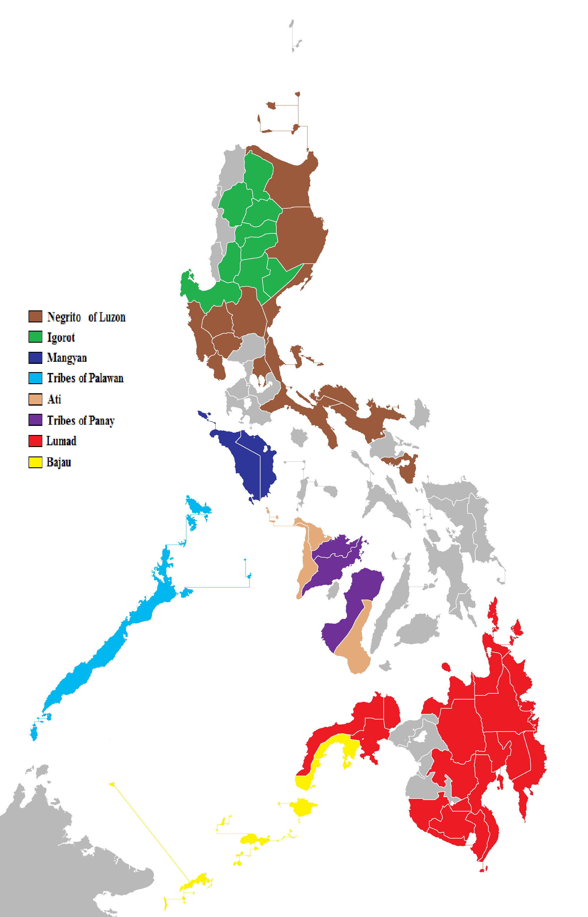
The Philippines consist of numerous upland and lowland indigenous ethnolinguistic groups living in the country, with Austronesians making up the overwhelming majority, while full or partial Negritos scattered throughout the archipelago. The highland Austronesians and Negrito have co-existed with their lowland Austronesian kin and neighbor groups for thousands of years in the Philippine archipelago. The primary difference is that they were not absorbed by centuries of Spanish and United States colonization of the Philippines, and in the process have retained their customs and traditions. This is mainly due to the rugged inaccessibility of the mountains and established headhunting and warrior cultures, which discouraged Spanish and American colonizers from coming into contact with the highlanders. In the interest of clarity, the term ''indigenous'' as used in the Philippines refers to ethnolinguistic groups or subgroups that maintain lt of partial isolation, or independence, throug ... [...More Info...] [...Related Items...] OR: [Wikipedia] [Google] [Baidu] |
Ibaloi People
The Ibaloi (also spelled Ibaloy; Ibaloi: ''ivadoy'', ) are an indigenous ethnic group found in Benguet Province of the northern Philippines. ''Ibaloi'' is derived from ''i-'', a prefix signifying "pertaining to" and ''badoy'' or house, together then meaning "people who live in houses". The Ibaloi are one of the indigenous peoples collectively known as Igorot (''igudut'', "hill-dwellers"), who live in the '' cordillera central'' of Luzón. Distribution The Ibaloi inhabit the southeastern part of Benguet Province. The area is rich in mineral resources like copper, gold, pyrite, and limestone. Plants and animals are also abundant in the forests and mountain areas, and there is an extensive water system that includes the Bued River, Agno River, and Amburayan River. Mount Pulag, the third highest mountain of the Philippines, is found in their territory and is a culturally important area as well, considered the place where spirits join their ancestors. The Ibaloi are distributed i ... [...More Info...] [...Related Items...] OR: [Wikipedia] [Google] [Baidu] |
Caraballo Mountains
The Caraballo Mountains is a mountain range in the central part of Luzon island in the Philippines, situated between the Cordillera Central and Sierra Madre mountain ranges. The mountains serve as the location of the headwaters of the Cagayan River, the longest in the country. Several portions of the mountain range are protected under the National Integrated Protected Areas System, including the Casecnan Protected Landscape and the Pantabangan–Carranglan Watershed Forest Reserve. Gallery File:FvfDupaxdelSur9632 18.JPG, A section of the range at Dupax del Sur File:DaltonPassjf6256 35.JPG, Dalton Pass Dalton Pass, also called Balete Pass, is a zigzag road and mountain pass that joins the provinces of Nueva Ecija and Nueva Vizcaya, in central Luzon island of the Philippines. It is part of Cagayan Valley Road segment of Pan-Philippine Highway ( ... in Santa Fe File:Uminganjf5391 05.JPG, Another view from the fields of eastern Pangasinan File:DaltonPassjf625 ... [...More Info...] [...Related Items...] OR: [Wikipedia] [Google] [Baidu] |
Nueva Vizcaya Province
Nueva Vizcaya, officially the Province of Nueva Vizcaya ( ilo, Probinsia ti Nueva Vizcaya; gad, Probinsia na Nueva Vizcaya; Pangasinan: ''Luyag/Probinsia na Nueva Vizcaya''; tl, Lalawigan ng Nueva Vizcaya ), is a landlocked province in the Philippines located in the Cagayan Valley region in Luzon. Its capital is Bayombong. It is bordered by Benguet to the west, Ifugao to the north, Isabela to the northeast, Quirino to the east, Aurora to the southeast, Nueva Ecija to the south, and Pangasinan to the southwest. Quirino province was created from Nueva Vizcaya in 1966. Etymology The name ''Nueva Vizcaya'' is derived from the name of the province of Biscay (called ''Vizcaya'' in Spanish, Bizkaia in Basque) during the Spanish colonial period. This can be seen in the right part of the seal, a representation of the heraldic of Vizcaya in Spain. History Spanish period The areas of present-day Nueva Vizcaya used to be part of the vast Provincia de Cagayan. Organized religion ... [...More Info...] [...Related Items...] OR: [Wikipedia] [Google] [Baidu] |
Ilongot People
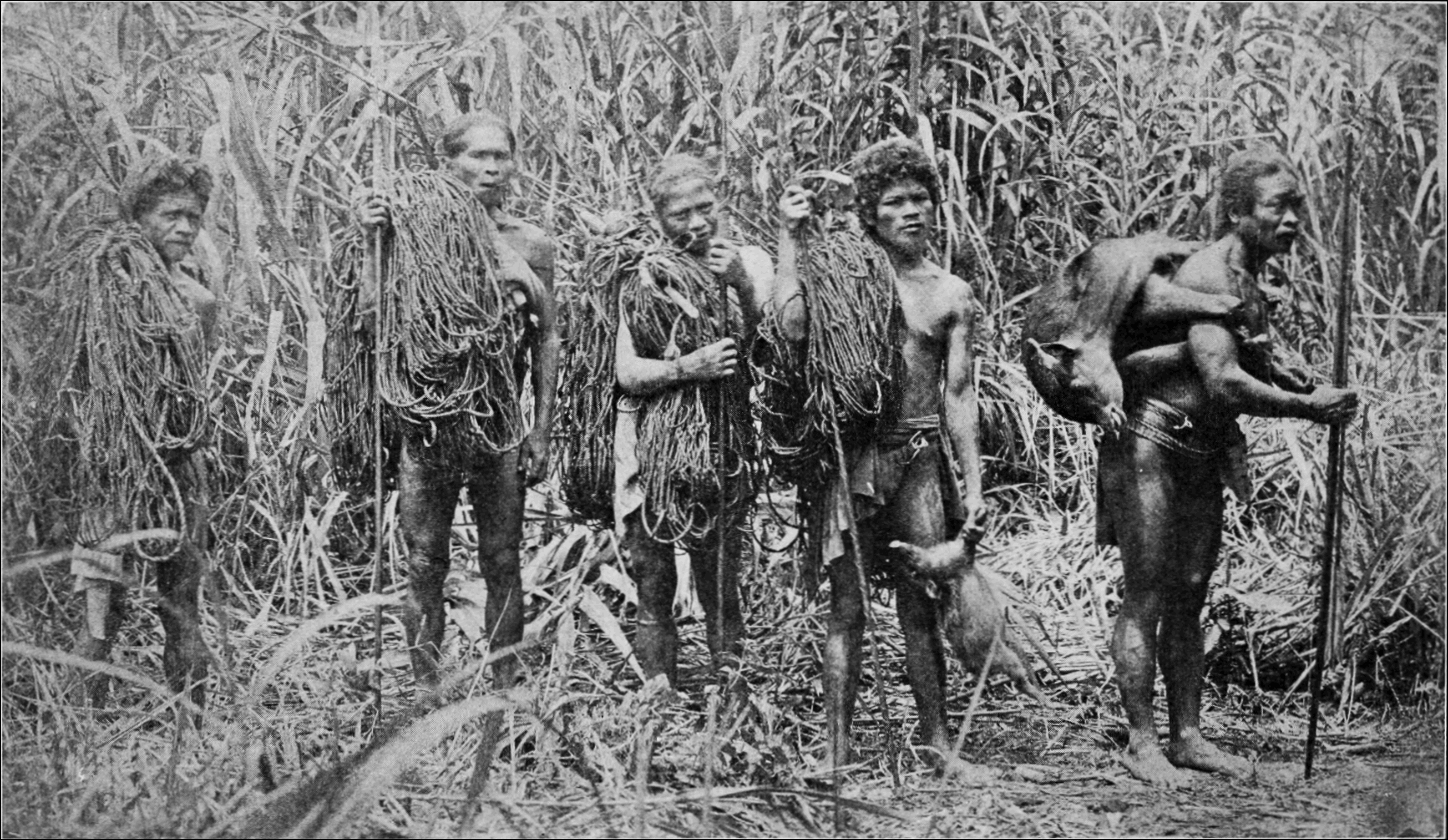
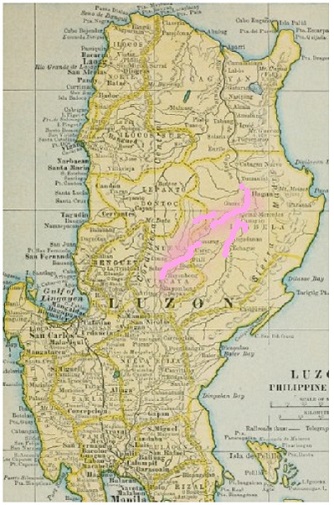
The Bugkalot (also Ilongot or Ibilao) are a tribe inhabiting the southern Sierra Madre and Caraballo Mountains, on the east side of Luzon in the Philippines, primarily in the provinces of Nueva Vizcaya and Nueva Ecija and along the mountain border between the provinces of Quirino and Aurora. They are also commonly referred to as "Ilongot", especially in older studies, but nowadays, the endonym Bugkalot is preferred in modern ethnic research. They were formerly headhunters. Presently, there are about 87,000 Bugkalots. The Bugkalots tend to inhabit areas close to rivers, as they provide a food source and a means for transportation. Their native language is the Bugkalot language, currently spoken by about 50,000 people. They also speak the Ilocano & Tagalog languages. Culture In Ivan Salva's study in 1980 of the Bugkalots, she described "gender differences related to the positive cultural value placed on adventure, travel, and knowledge of the external world." Bugkalot men, m ... [...More Info...] [...Related Items...] OR: [Wikipedia] [Google] [Baidu] |
Isabela Province
; gad, Probinsia na Isabela; tl, Lalawigan ng Isabela) , settlement_type = , image_skyline = , image_caption = (from top: left to right) Pacific coast in Dinapigue, Sierra Madre Mountains, Magat Dam, Cagayan River in Jones, Aerial view of Divilacan and Cabigan Church Ruins in San Pablo. , image_flag = Flag of Isabela (province).svg , flag_size = 120x80px , image_seal = Official Seal of Isabela.svg , seal_size = 100x80px , nickname = , motto = , image_map = , map_alt = , map_caption = Location in the Philippines , coordinates = , subdivision_type = Country , subdivision_name = , subdivision_type1 = Region , subdivision_name1 = , established_title = Founded , established_date = May 01, 1856 , seat_type = Capita ... [...More Info...] [...Related Items...] OR: [Wikipedia] [Google] [Baidu] |
Gaddang People
The Gaddang (an indigenous Filipino people) are a linguistically-identified ethnic group resident in the watershed of the Cagayan River in Northern Luzon, Philippines. Gaddang speakers were recently reported to number as many as 30,000. This number may not include another 6,000 related Ga'dang speakers and other isolated linguistic-groups whose vocabulary is more than 75% identical. The members of several proximate groups speaking mutually-intelligible dialects (including Gaddang, Ga'dang, Baliwon, Cauayeno, Yogad, as well as now-lost historically-documented tongues such as that once spoken by the ''Irray'' of Tuguegarao) today are depicted as a single people in history and cultural literature, and in government documents. The language is very similar to that of the Itawes and Malaueg settled at the mouths of the Matalag and Chico rivers. Distinctions are asserted between (a) the Christianized "lowlanders" of Isabela and Nueva Vizcaya, and (b) the formerly non-Christian r ... [...More Info...] [...Related Items...] OR: [Wikipedia] [Google] [Baidu] |
Isnag People
The Isnag people (also referred to as the Isneg and Apayao) are an Austronesian ethnic group native to Apayao Province in the Philippines' Cordillera Administrative Region. Their native language is Isneg language, Isneg (also called Isnag), although most Isnag also speak Ilokano. Two major sub-groups among the Isnag are known: the Ymandaya, mostly concentrated in the municipality of Calanasan; and the Imallod, with populations distributed among the other towns of the province. Isnag populations can also be found in the eastern part of the adjacent Provinces of Ilocos Norte and Cagayan. Name Various names have been used to differentiate the Isnag. The Spaniards referred to them as los Apayaos (referring to the river along which they live) and los Mandayas (taken from the Isnag term meaning “upstream”). In 1923, they were the last ethnic group to be conquered by the American colonialists. Before, they had no collective name. Instead, they referred to themselves based o ... [...More Info...] [...Related Items...] OR: [Wikipedia] [Google] [Baidu] |
Ifugao Province
Ifugao, officially the Province of Ifugao ( ilo, Probinsia ti Ifugao; tl, Lalawigan ng Ifugao), is a landlocked province of the Philippines in the Cordillera Administrative Region in Luzon. Its capital is Lagawe and it borders Benguet to the west, Mountain Province to the north, Isabela to the east, and Nueva Vizcaya to the south. The Rice Terraces of the Philippine Cordilleras and Banaue Rice Terraces are the main tourist attractions in the province. These terraces are believed to have been hand-carved into the mountains 2,000 years ago to plant rice. However, recent research by carbon dating suggests that they were built much later. In 1995, the Rice Terraces of the Philippine Cordilleras were declared as a UNESCO World Heritage Site. In 2008 and 2015, the ''Hudhud chants of the Ifugao'' and the ''Punnuk (Tugging rituals and games)'' were inscribed in the UNESCO Intangible Cultural Heritage Lists. Etymology Ifugao is named after the term ''i-pugo'' (''"i"'' rom/peopleand ... [...More Info...] [...Related Items...] OR: [Wikipedia] [Google] [Baidu] |
Mindanao
Mindanao ( ) ( Jawi: مينداناو) is the second-largest island in the Philippines, after Luzon, and seventh-most populous island in the world. Located in the southern region of the archipelago, the island is part of an island group of the same name that also includes its adjacent islands, notably the Sulu Archipelago. According to the 2020 census, Mindanao has a population of 26,252,442 people, while the entire island group has an estimated population of 27,021,036 according to the 2021 census. Mindanao is divided into six administrative regions: the Zamboanga Peninsula, Northern Mindanao, the Caraga region, the Davao region, Soccsksargen, and the autonomous region of Bangsamoro. According to the 2020 census, Davao City is the most populous city on the island, with 1,776,949 people, followed by Zamboanga City (pop. 977,234), Cagayan de Oro (pop. 728,402), General Santos (pop. 697,315), Butuan (pop. 372,910), Iligan (pop. 363,115) and Cotabato City (pop. 325,079). ... [...More Info...] [...Related Items...] OR: [Wikipedia] [Google] [Baidu] |
Rice Terraces
In agriculture, a terrace is a piece of sloped plane that has been cut into a series of successively receding flat surfaces or platforms, which resemble steps, for the purposes of more effective farming. This type of landscaping is therefore called terracing. Graduated terrace steps are commonly used to farm on hilly or mountainous terrain. Terraced fields decrease both erosion and surface runoff, and may be used to support growing crops that require irrigation, such as rice. The Rice Terraces of the Philippine Cordilleras have been designated as a UNESCO World Heritage Site because of the significance of this technique. Uses Terraced paddy fields are used widely in rice, wheat and barley farming in east, south, southwest, and southeast Asia, as well as the Mediterranean Basin, Africa, and South America. Drier-climate terrace farming is common throughout the Mediterranean Basin, where they are used for vineyards, olive trees, cork oak, and other crops. Ancient history Te ... [...More Info...] [...Related Items...] OR: [Wikipedia] [Google] [Baidu] |

_(14761627334).jpg)


