|
Illinois Route 154
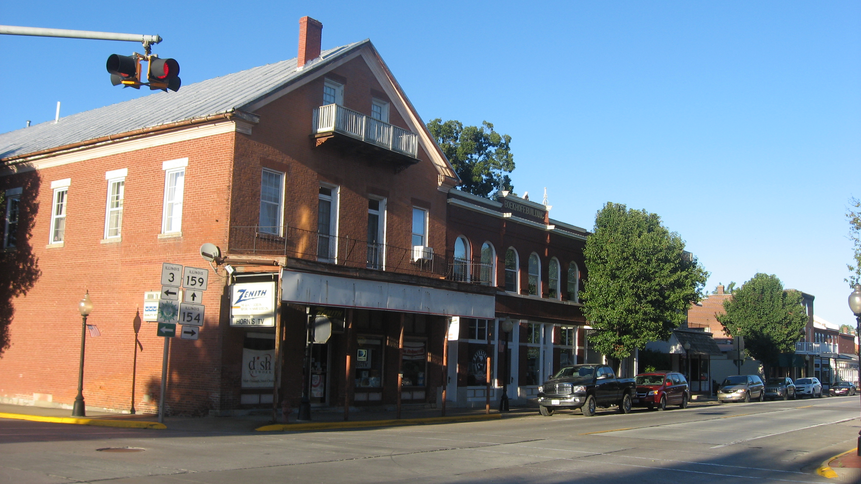
Illinois Route 154 is an east–west state road in southern Illinois. It runs from Illinois Route 3 in Red Bud to Illinois Route 37 in Whittington. This is a distance of . Route description Illinois 154 is the main east–west road through Pinckneyville. Just before intersecting Interstate 57 on the eastern end, it bridges Rend Lake. Illinois 154 has overlaps Illinois Route 13 and Illinois Route 148. History SBI Route 154 originally ran from Pinckneyville to U.S. Route 51 north of Sunfield. In 1937 it was extended west to Red Bud, replacing Illinois Route 170 and Illinois Route 13 Illinois Route 13 (IL 13) is a major east–west state route in southern Illinois. Illinois 13 has its western terminus at Centreville at Illinois Route 157 and its eastern terminus at the Kentucky state line and the Ohio River, at Kentuck ... in the process. In 1984, Illinois 154 was extended east on a new road over Rend Lake, replacing IL 183. The original 1926 routing o ... [...More Info...] [...Related Items...] OR: [Wikipedia] [Google] [Baidu] |
Illinois Department Of Transportation
The Illinois Department of Transportation (IDOT) is a state agency in charge of state-maintained public roadways of the U.S. state of Illinois. In addition, IDOT provides funding for rail, public transit and airport projects and administers fuel tax and federal funding to local jurisdictions in the state. The Secretary of Transportation reports to the Governor of Illinois. IDOT is headquartered in unincorporated Sangamon County, located near the state capital, Springfield. In addition, the IDOT Division of Highways has offices in nine locations throughout the state. The mission of IDOT is to provide safe, cost-effective transportation for Illinois in ways that enhance quality of life, promote economic prosperity and demonstrate respect for the environment. Organization As of February 2009, the Illinois Department of Transportation was divided into the following offices and divisions: Offices *The Office of Business and Workforce Diversity oversees the implementation of direct ... [...More Info...] [...Related Items...] OR: [Wikipedia] [Google] [Baidu] |
Interstate 57
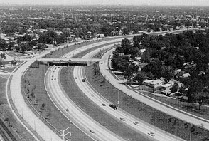
Interstate 57 (I-57) is a north–south Interstate Highway in Missouri and Illinois that parallels the old Illinois Central Railroad for much of its route. It runs from Sikeston, Missouri, at I-55 to Chicago, Illinois, at I-94. I-57 essentially serves as a shortcut route for travelers headed between the South (Memphis, New Orleans, etc.) and Chicago, bypassing St. Louis, Missouri and Springfield, Illinois. Between the junction of I-55 and I-57 in Sikeston and the junction of I-55 and I-90/I-94 in Chicago, I-55 travels for , while the combination of I-57 and I-94 is only long between the same two points. In fact, both the control cities on the overhead signs and the destination mileage signs reference Memphis along southbound I-57, even as far north as its northern origin at I-94 in Chicago. Likewise, at its southern end, Chicago is the control city listed for I-57 on signs on northbound I-55 south of Sikeston, even though I-55 also goes to Chicago. , I-57 has no spur rout ... [...More Info...] [...Related Items...] OR: [Wikipedia] [Google] [Baidu] |
Transportation In Perry County, Illinois
Transport (in British English), or transportation (in American English), is the intentional movement of humans, animals, and goods from one location to another. Modes of transport include air, land (rail and road), water, cable, pipeline, and space. The field can be divided into infrastructure, vehicles, and operations. Transport enables human trade, which is essential for the development of civilizations. Transport infrastructure consists of both fixed installations, including roads, railways, airways, waterways, canals, and pipelines, and terminals such as airports, railway stations, bus stations, warehouses, trucking terminals, refueling depots (including fueling docks and fuel stations), and seaports. Terminals may be used both for interchange of passengers and cargo and for maintenance. Means of transport are any of the different kinds of transport facilities used to carry people or cargo. They may include vehicles, riding animals, and pack animals. Vehicles may inclu ... [...More Info...] [...Related Items...] OR: [Wikipedia] [Google] [Baidu] |
1926 Establishments In Illinois
Nineteen or 19 may refer to: * 19 (number), the natural number following 18 and preceding 20 * one of the years 19 BC, AD 19, 1919, 2019 Films * ''19'' (film), a 2001 Japanese film * ''Nineteen'' (film), a 1987 science fiction film Music * 19 (band), a Japanese pop music duo Albums * ''19'' (Adele album), 2008 * ''19'', a 2003 album by Alsou * ''19'', a 2006 album by Evan Yo * ''19'', a 2018 album by MHD * ''19'', one half of the double album ''63/19'' by Kool A.D. * ''Number Nineteen'', a 1971 album by American jazz pianist Mal Waldron * ''XIX'' (EP), a 2019 EP by 1the9 Songs * "19" (song), a 1985 song by British musician Paul Hardcastle. * "Nineteen", a song by Bad4Good from the 1992 album '' Refugee'' * "Nineteen", a song by Karma to Burn from the 2001 album ''Almost Heathen''. * "Nineteen" (song), a 2007 song by American singer Billy Ray Cyrus. * "Nineteen", a song by Tegan and Sara from the 2007 album '' The Con''. * "XIX" (song), a 2014 song by Slipknot. ... [...More Info...] [...Related Items...] OR: [Wikipedia] [Google] [Baidu] |
State Highways In Illinois
State may refer to: Arts, entertainment, and media Literature * ''State Magazine'', a monthly magazine published by the U.S. Department of State * ''The State'' (newspaper), a daily newspaper in Columbia, South Carolina, United States * ''Our State ''Our State'' (full title: ''Our State: Down Home in North Carolina'') is a monthly magazine based in Greensboro, North Carolina, featuring travel and history articles and photographs about North Carolina people, places and events. First publishe ...'', a monthly magazine published in North Carolina and formerly called ''The State'' * The State (Larry Niven), a fictional future government in three novels by Larry Niven Music Groups and labels * States Records, an American record label * The State (band), Australian band previously known as the Cutters Albums * State (album), ''State'' (album), a 2013 album by Todd Rundgren * States (album), ''States'' (album), a 2013 album by the Paper Kites * ''States'', a 1991 album by Klinik * T ... [...More Info...] [...Related Items...] OR: [Wikipedia] [Google] [Baidu] |
The Chicago Tribune
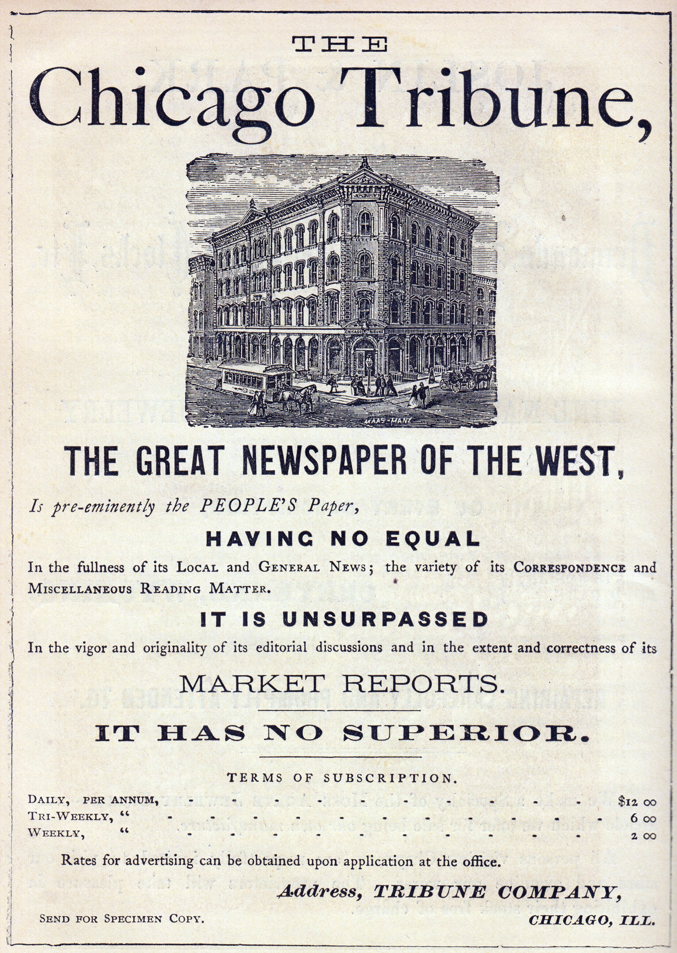
The ''Chicago Tribune'' is a daily newspaper based in Chicago, Illinois, United States, owned by Tribune Publishing. Founded in 1847, and formerly self-styled as the "World's Greatest Newspaper" (a slogan for which WGN radio and television are named), it remains the most-read daily newspaper in the Chicago metropolitan area and the Great Lakes region. It had the sixth-highest circulation for American newspapers in 2017. In the 1850s, under Joseph Medill, the ''Chicago Tribune'' became closely associated with the Illinois politician Abraham Lincoln, and the Republican Party's progressive wing. In the 20th century under Medill's grandson, Robert R. McCormick, it achieved a reputation as a crusading paper with a decidedly more American-conservative anti-New Deal outlook, and its writing reached other markets through family and corporate relationships at the ''New York Daily News'' and the ''Washington Times-Herald.'' The 1960s saw its corporate parent owner, Tribune Company, rea ... [...More Info...] [...Related Items...] OR: [Wikipedia] [Google] [Baidu] |
Illinois Route 170
Illinois Route 170 is a north–south state road in north-central Illinois. It runs from Illinois Route 23 well north of Pontiac to U.S. Route 6 in Seneca. This is a distance of . Route description Illinois 170 is a rural, two-lane surface road for its entire length. The road crosses Illinois River via a four-span truss bridge. As of May 5, 2006, the Illinois Department of Transportation is looking to replace the 74-year-old bridge. The old bridge was imploded on November 18, 2010. History SBI Route 160 originally ran from Red Bud to Sparta; this became Illinois Route 154 in 1937. In 1946, it replaced Illinois Route 186 (previously Illinois Route 70A) from Seneca south to Illinois Route 17 Illinois Route 17 (IL 17) is a rural, arterial east–west state highway that runs east from a former ferry crossing in New Boston along the banks of the Mississippi RiverIllinois Highway EndsIllinois 17. Retrieved April 21, 2006. to State R ... near Budd. In 1995 Illinois 17 ... [...More Info...] [...Related Items...] OR: [Wikipedia] [Google] [Baidu] |
Illinois Route 148
Illinois Route 148 is a north–south state road in southern Illinois. It runs from Illinois Route 37 at Pulleys Mill (near the intersection of Interstate 24 and Interstate 57) north to the western terminus of Illinois Route 142 and Illinois 37 south of downtown Mount Vernon. This is a distance of . Route description Illinois 148 is a western parallel of Illinois 37 from Pulleys Mill to Mount Vernon. It passes through the city of Herrin, a medium-sized city in Williamson County. It is a two-laned surface road for its entire length. History SBI Route 148 ran from Marion to Mount Vernon. In 1964 it was extended south to Pulleys Mill. There have been no changes to Illinois 148 since. Major Intersections References External links *{{ccat-inline 148 148 may refer to: *148 (number), a natural number *AD 148, a year in the 2nd century AD *148 BC, a year in the 2nd century BC *148 (album), an album by C418 *148 (Meiktila) Battery Royal Artillery *148 (New Je ... [...More Info...] [...Related Items...] OR: [Wikipedia] [Google] [Baidu] |
Illinois Route 13
Illinois Route 13 (IL 13) is a major east–west state route in southern Illinois. Illinois 13 has its western terminus at Centreville at Illinois Route 157 and its eastern terminus at the Kentucky state line and the Ohio River, at Kentucky Route 56. This is a distance of . Route description Centreville to Carbondale Illinois 13 runs southeast from the St. Louis, Missouri area to Carbondale. It is the main highway between these two cities. Starting in Centreville, IL 13 begins at the IL 157/IL 163 junction. Immediately, IL 13 travels southeast along IL 157. At the next junction, IL 157 branches off northeast. At this point, IL 13 largely parallels the IL 15 expressway. In Belleville, IL 13 meets IL 15 at an incomplete parclo. Continuing southeast, IL 13 largely serves Belleville's business district, unlike the expressway. It then meets IL 15 again and IL 158 at a dumbbell interchange. After that, IL 13 runs conc ... [...More Info...] [...Related Items...] OR: [Wikipedia] [Google] [Baidu] |
Overlap (road)
A concurrency in a road network is an instance of one physical roadway bearing two or more different route numbers. When two roadways share the same right-of-way, it is sometimes called a common section or commons. Other terminology for a concurrency includes overlap, coincidence, duplex (two concurrent routes), triplex (three concurrent routes), multiplex (any number of concurrent routes), dual routing or triple routing. Concurrent numbering can become very common in jurisdictions that allow it. Where multiple routes must pass between a single mountain crossing or over a bridge, or through a major city, it is often economically and practically advantageous for them all to be accommodated on a single physical roadway. In some jurisdictions, however, concurrent numbering is avoided by posting only one route number on highway signs; these routes disappear at the start of the concurrency and reappear when it ends. However, any route that becomes unsigned in the middle of the concurren ... [...More Info...] [...Related Items...] OR: [Wikipedia] [Google] [Baidu] |
Rend Lake
Rend Lake is a long, wide reservoir located in Southern Illinois in Franklin and Jefferson Counties near the town of Benton. It contains 18,900 acres (76 km2) of water, stores of water, and supplies over 15 million gallons of water per day to 300,000 persons in over 60 communities. The reservoir is up to deep, but its average depth is closer to . Its elevation is above sea level. Rend Lake was created when the United States Army Corps of Engineers dammed the Big Muddy River. The dam and lake were authorized in 1962, but the lake was not completely filled until March 197 The shoreline of Rend Lake extends 162 miles (261 km), part of which is preserved as Wayne Fitzgerrell State Recreation Area. Swimming beaches at North Marcum and South Sandusky are managed and maintained by the US Army Corps of Engineers. An adjacent Illinois Artisans Shop & Visitors Center is part of the Illinois State Museum system and is operated by the Illinois Department of Natural Resource ... [...More Info...] [...Related Items...] OR: [Wikipedia] [Google] [Baidu] |
Pinckneyville, Illinois
Pinckneyville is a city in and the county seat of Perry County, Illinois, United States. The population was 5,066 at the 2020 census. It is named for Charles Cotesworth Pinckney, an early American diplomat and presidential candidate. Pinckneyville is the location of the Pinckneyville Power Plant, a combustion turbine generator (CTG)-type power plant run by Ameren. Geography Pinckneyville is located on Illinois Route 13 about southeast of St. Louis. According to the 2010 census, Pinckneyville has a total area of , of which (or 93.63%) is land and (or 6.37%) is water. Demographics As of the census of 2000, there were 5,464 people, 1,504 households, and 920 families residing in the city. The population density was . There were 1,662 housing units at an average density of . The racial makeup of the city was 71.25% White, 24.36% African American, 0.16% Native American, 0.20% Asian, 0.05% Pacific Islander, 3.77% from other races, and 0.20% from two or more races. Hispanic ... [...More Info...] [...Related Items...] OR: [Wikipedia] [Google] [Baidu] |


