|
House Rock, Arizona
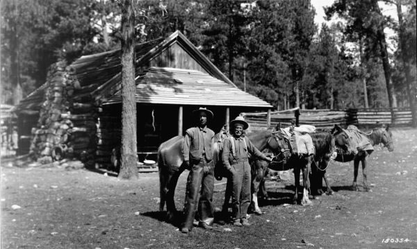
House Rock is a ghost town near the northwest end of the House Rock Valley in northern Coconino County, Arizona, Coconino County, Arizona, United States. The community was named after the House Rock Valley, which was named by the John Wesley Powell Expedition in 1871. (However, the site where the expedition spent the night and the community are on the opposite ends of the valley.) Description The mostly abandoned locale is just east of the Kaibab National Forest and the mouth of House Rock Canyon (Coconino County, Arizona), House Rock Canyon at the southwest corner of, but just outside of, the Vermilion Cliffs National Monument (which was established in 2000). House Rock is located along what was, prior to 1960, U.S. Route 89 in Arizona, U.S. Route 89 (US 89), but is now U.S. Route 89A in Arizona, U.S. Route 89A (US 89A). Little remains of the community, other than a few houses and a small cemetery, but the site is an important road junction for access to the nearby na ... [...More Info...] [...Related Items...] OR: [Wikipedia] [Google] [Baidu] |
Ghost Town
Ghost Town(s) or Ghosttown may refer to: * Ghost town, a town that has been abandoned Film and television * Ghost Town (1936 film), ''Ghost Town'' (1936 film), an American Western film by Harry L. Fraser * Ghost Town (1956 film), ''Ghost Town'' (1956 film), an American Western film by Allen H. Miner * Ghost Town (1988 film), ''Ghost Town'' (1988 film), an American horror film by Richard McCarthy (as Richard Governor) * Ghost Town (2008 film), ''Ghost Town'' (2008 film), an American fantasy comedy film by David Koepp * ''Ghost Town'', a 2008 TV film featuring Billy Drago * ''Derek Acorah's Ghost Towns'', a 2005–2006 British paranormal reality television series * Ghost Town (CSI: Crime Scene Investigation), "Ghost Town" (''CSI: Crime Scene Investigation''), a 2009 TV episode Literature * Ghost Town (Lucky Luke), ''Ghost Town'' (''Lucky Luke'') or ''La Ville fantôme'', a 1965 ''Lucky Luke'' comic *''Ghost Town'', a Beacon Street Girls novel by Annie Bryant *''Ghost Town'', a 199 ... [...More Info...] [...Related Items...] OR: [Wikipedia] [Google] [Baidu] |
Vermilion Cliffs National Monument
Vermilion Cliffs National Monument is located in northern Coconino County, Arizona, United States, immediately south of the Utah state line. This national monument, in area, protects the Paria Plateau, Vermilion Cliffs, Coyote Buttes, and Paria Canyon. Elevations in the monument range from 3,100 feet to 6,500 feet above sea level (944 to 1,981 meters). Creation and designation Established on November 9, 2000 by a presidential proclamation by President Bill Clinton, Vermilion Cliffs National Monument was carved from existing lands already under the management of the U.S. Government in extreme northern Coconino County, Arizona, immediately south of the border with the state of Utah. The monument is administered by the U.S. Bureau of Land Management, an agency within the U.S. Department of the Interior. The Vermilion Cliffs themselves run along the southern and eastern edges of the monument. Much of the monument's land consists of the Paria Plateau, a flat area extending northwar ... [...More Info...] [...Related Items...] OR: [Wikipedia] [Google] [Baidu] |
Cliff Dwellers Lodge, Arizona
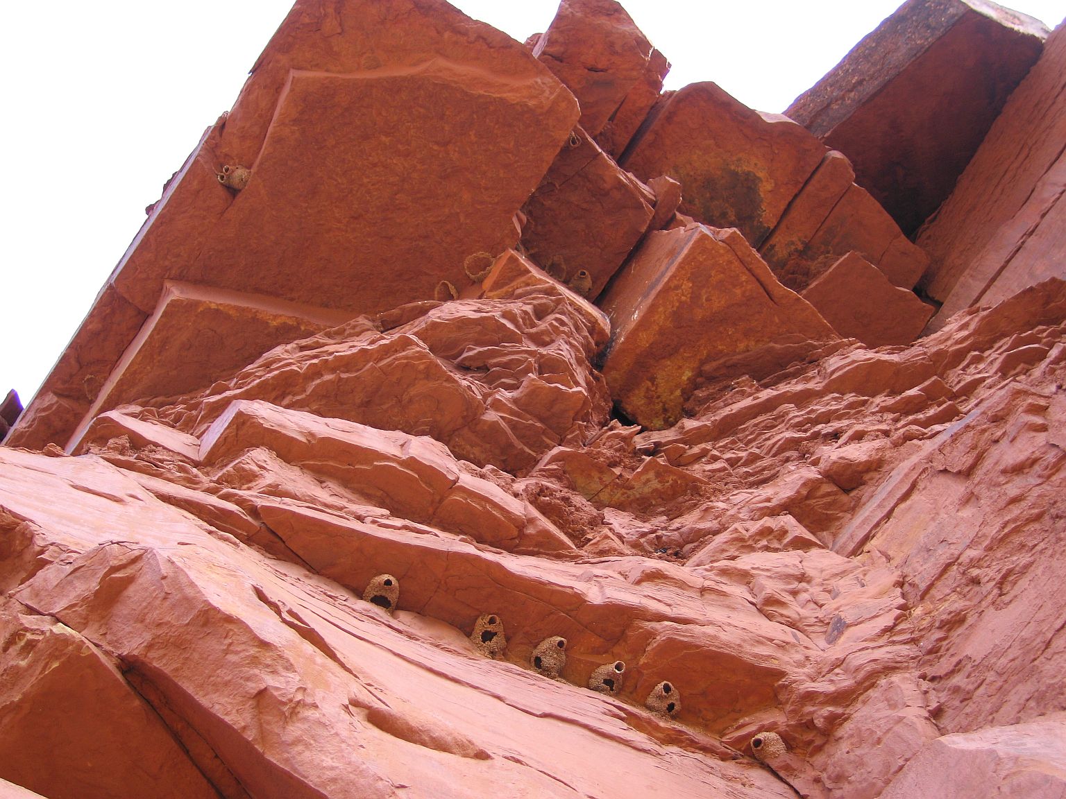
In geography and geology, a cliff is an area of Rock (geology), rock which has a general angle defined by the vertical, or nearly vertical. Cliffs are formed by the processes of weathering and erosion, with the effect of gravity. Cliffs are common on coasts, in mountainous areas, escarpments and along rivers. Cliffs are usually composed of rock that is resistant to weathering and erosion. The sedimentary rocks that are most likely to form cliffs include sandstone, limestone, chalk, and Dolomite (rock), dolomite. Igneous rocks such as granite and basalt also often form cliffs. An escarpment (or scarp) is a type of cliff formed by the movement of a geologic fault, a landslide, or sometimes by rock slides or falling rocks which change the differential erosion of the rock layers. Most cliffs have some form of scree slope at their base. In arid areas or under high cliffs, they are generally exposed jumbles of fallen rock. In areas of higher moisture, a soil slope may obscure t ... [...More Info...] [...Related Items...] OR: [Wikipedia] [Google] [Baidu] |
Jacob Lake, Arizona
Jacob Lake is a small unincorporated community on the Kaibab Plateau in Coconino County, Arizona, United States, at the junction of U.S. Route 89A and State Route 67. Named after the Mormon explorer Jacob Hamblin, the town is known as the "Gateway to the Grand Canyon" because it is the starting point of Route 67, the only paved road leading to the North Rim of the Grand Canyon some to the south. The town itself consists of the Jacob Lake Inn which maintains motel rooms and cabins, a restaurant, lunch counter, gift shop, bakery, and general store; a gas station/garage; campground; and a visitors center run by the U.S. Forest Service. In the summer months, there is also a nearby center for horse rides. History Jacob Lake Inn was founded in 1923 by Harold I. Bowman and his wife Nina Nixon Bowman to facilitate tourists attempting to reach the Grand Canyon. Their ancestors had been early converts to the Church of Jesus Christ of Latter-day Saints and had taken important roles ... [...More Info...] [...Related Items...] OR: [Wikipedia] [Google] [Baidu] |
JPEG
JPEG ( ) is a commonly used method of lossy compression for digital images, particularly for those images produced by digital photography. The degree of compression can be adjusted, allowing a selectable tradeoff between storage size and image quality. JPEG typically achieves 10:1 compression with little perceptible loss in image quality. Since its introduction in 1992, JPEG has been the most widely used image compression standard in the world, and the most widely used digital image format, with several billion JPEG images produced every day as of 2015. The term "JPEG" is an acronym for the Joint Photographic Experts Group, which created the standard in 1992. JPEG was largely responsible for the proliferation of digital images and digital photos across the Internet, and later social media. JPEG compression is used in a number of image file formats. JPEG/Exif is the most common image format used by digital cameras and other photographic image capture devices; along with JPEG ... [...More Info...] [...Related Items...] OR: [Wikipedia] [Google] [Baidu] |
United States Geological Survey
The United States Geological Survey (USGS), formerly simply known as the Geological Survey, is a scientific agency of the United States government. The scientists of the USGS study the landscape of the United States, its natural resources, and the natural hazards that threaten it. The organization's work spans the disciplines of biology, geography, geology, and hydrology. The USGS is a fact-finding research organization with no regulatory responsibility. The agency was founded on March 3, 1879. The USGS is a bureau of the United States Department of the Interior; it is that department's sole scientific agency. The USGS employs approximately 8,670 people and is headquartered in Reston, Virginia. The USGS also has major offices near Lakewood, Colorado, at the Denver Federal Center, and Menlo Park, California. The current motto of the USGS, in use since August 1997, is "science for a changing world". The agency's previous slogan, adopted on the occasion of its hundredt ... [...More Info...] [...Related Items...] OR: [Wikipedia] [Google] [Baidu] |
Arizona Department Of Transportation
The Arizona Department of Transportation (ADOT, pronounced "A-Dot") is an Arizona state government agency charged with facilitating mobility within the state. In addition to managing the state's state highways, highway system, the agency is also involved with public transportation and airport, municipal airports. The department was created in 1974 when the state merged the Arizona Highway Department with the Arizona Department of Aeronautics. ADOT was a pioneer in the use of rubberized asphalt as a method to increase durability and reduce road noise on state highways while providing an opportunity to tire recycling, recycle scrap tires. Its "Quiet Pavement" project started in 2003 surfaced about of Phoenix-area freeways with rubberized asphalt. Former U.S. Secretary of Transportation Mary Peters (politician), Mary Peters had previously been a Director of ADOT. The current Federal Highway Administrator, Victor Mendez, was also previously a Director of ADOT. ADOT's publications di ... [...More Info...] [...Related Items...] OR: [Wikipedia] [Google] [Baidu] |
Utah
Utah ( , ) is a state in the Mountain West subregion of the Western United States. Utah is a landlocked U.S. state bordered to its east by Colorado, to its northeast by Wyoming, to its north by Idaho, to its south by Arizona, and to its west by Nevada. Utah also touches a corner of New Mexico in the southeast. Of the fifty U.S. states, Utah is the 13th-largest by area; with a population over three million, it is the 30th-most-populous and 11th-least-densely populated. Urban development is mostly concentrated in two areas: the Wasatch Front in the north-central part of the state, which is home to roughly two-thirds of the population and includes the capital city, Salt Lake City; and Washington County in the southwest, with more than 180,000 residents. Most of the western half of Utah lies in the Great Basin. Utah has been inhabited for thousands of years by various indigenous groups such as the ancient Puebloans, Navajo and Ute. The Spanish were the first Europe ... [...More Info...] [...Related Items...] OR: [Wikipedia] [Google] [Baidu] |
Kane County, Utah
Kane County is a county in the U.S. state of Utah. As of the 2010 United States Census, the population was 7,125. Its county seat and largest city is Kanab. History The county was created on January 16, 1864, by the Utah Territory legislature, with areas partitioned from Washington County. It was named for Col. Thomas L. Kane, a friend of the Latter Day Saint settlers in the 1840s and 1850s. The county boundary was adjusted in 1869, when a portion was returned to Washington County; in 1880, when San Juan County was created; and in 1883, when portions were partitioned from Kane and added to Iron and Washington counties. Geography Kane County lies on the south line of the state of Utah. Its south border abuts the northern border of the state of Arizona. The Colorado River, reformed as Lake Powell, forms its eastern border. Grand Staircase–Escalante National Monument covers much of the county. A rugged and inhospitable country of deserts, mountains, and cliffs make up the ter ... [...More Info...] [...Related Items...] OR: [Wikipedia] [Google] [Baidu] |
Five Mile Valley
5 is a number, numeral, and glyph. 5, five or number 5 may also refer to: * AD 5, the fifth year of the AD era * 5 BC, the fifth year before the AD era Literature * ''5'' (visual novel), a 2008 visual novel by Ram * ''5'' (comics), an award-winning comics anthology * ''No. 5'' (manga), a Japanese manga by Taiyō Matsumoto * The Famous Five (novel series), a series of children's adventure novels written by English author Enid Blyton Films * ''Five'' (1951 film), a post-apocalyptic film * ''Five'' (2003 film), an Iranian documentary by Abbas Kiarostami * ''Five'' (2011 film), a comedy-drama television film * ''Five'' (2016 film), a French comedy film * Number 5, the protagonist in the film ''Short Circuit'' (1986 film) Television and radio * 5 (TV channel), a television network in the Philippines (currently known as TV5 from 2008 to 2018 and again since 2020), owned by TV5 Network, Inc. * Channel 5 (British TV channel), British free-to-air television network someti ... [...More Info...] [...Related Items...] OR: [Wikipedia] [Google] [Baidu] |
Coyote Valley (Arizona-Utah) )
{{geodis ...
Coyote Valley may refer to: * Coyote Valley, California * Coyote Valley, Colorado (Kawuneeche Valley Kawuneeche Valley, also known as Kawuneeche or Coyote Valley, is a marshy valley of the Colorado River near its beginning. It is located on the west side of Rocky Mountain National Park in Colorado. The axis of the valley runs almost directly no ... [...More Info...] [...Related Items...] OR: [Wikipedia] [Google] [Baidu] |
Paria Canyon-Vermilion Cliffs Wilderness
The Paria Canyon-Vermilion Cliffs Wilderness is a wilderness area located in northern Arizona and southern Utah, United States, within the arid Colorado Plateau region. The wilderness is composed of broad plateaus, tall escarpments, and deep canyons. The Paria River flows through the wilderness before joining the Colorado River at Lee's Ferry, Arizona. The U.S. Congress designated the wilderness area in 1984 and it was largely incorporated into the new Vermilion Cliffs National Monument proclaimed in 2000 by executive order of President Bill Clinton. Both the wilderness area and the National Monument are administered by the federal Bureau of Land Management. The Colorado Plateau and its river basins are of immense value in the Earth sciences, specifically chronostratigraphy, as the region contains multiple terrain features exposing miles-thick contiguous rock columns that geologists and paleobiologists use as reference strata of the geologic record.Caputo, M. V. (2003) ''Ge ... [...More Info...] [...Related Items...] OR: [Wikipedia] [Google] [Baidu] |


