|
Horseshoe Bay No.2, Isle Of Wight
Horseshoe Bay is a bay on the south-east coast of the Isle of Wight, England. It lies to the south-east of the village of Bonchurch. It faces south-east towards the English Channel and its shoreline is approximately in length. It should not be confused with a similarly named bay about along the shoreline to the north near Culver Down. Seawall The coast of the bay is lined by a concrete seawall, built in 1988 to protect a promenade and the weak chalky cliff-face from erosion. The seawall comprises a set of steps at the base of the wall, a reinforced concrete berm and stepped apron and finally a curved wave return wall. The wall contains approximately of concrete and cost £1.4 million to build. The Isle of Wight Coastal Path The Isle of Wight Coastal Path (or Coastal Footpath) is a circular long-distance footpath of 70 miles (113 km) around the Isle of Wight, UK. It follows public footpaths and minor lanes, with some sections along roads. Route The pa ... ... [...More Info...] [...Related Items...] OR: [Wikipedia] [Google] [Baidu] |
Culver Down
Culver Down is a chalk down to the north of Sandown, Isle of Wight. It is believed that its name derives from "Culfre", which is Old English for dove. The down has a typical chalk downland wildlife on the uncultivated areas (generally the southern and eastern slopes). This includes plants such as Small Scabious, Harebell, Cowslip and Lady's Bedstraw. The chalk cliffs to the north and east are important nesting places for seabirds. Historically, Culver has been the source of commercial bird's egg collecting from ropes over the cliff. It was also known for breeding peregrine falcons, as well as breeding Common Woodpigeons (Culvers), the source of the cliff's name. The northern side is intensively grazed by cattle, so fertilization and poaching of the soil, not to mention a spell as an artillery training ground, have all but eliminated the natural chalk ecosystem. On Culver Down a number of unusual ant species live, including the semi-myrmecophilous '' Solenopsis fugax'' (Latr.), ... [...More Info...] [...Related Items...] OR: [Wikipedia] [Google] [Baidu] |
Ventnor
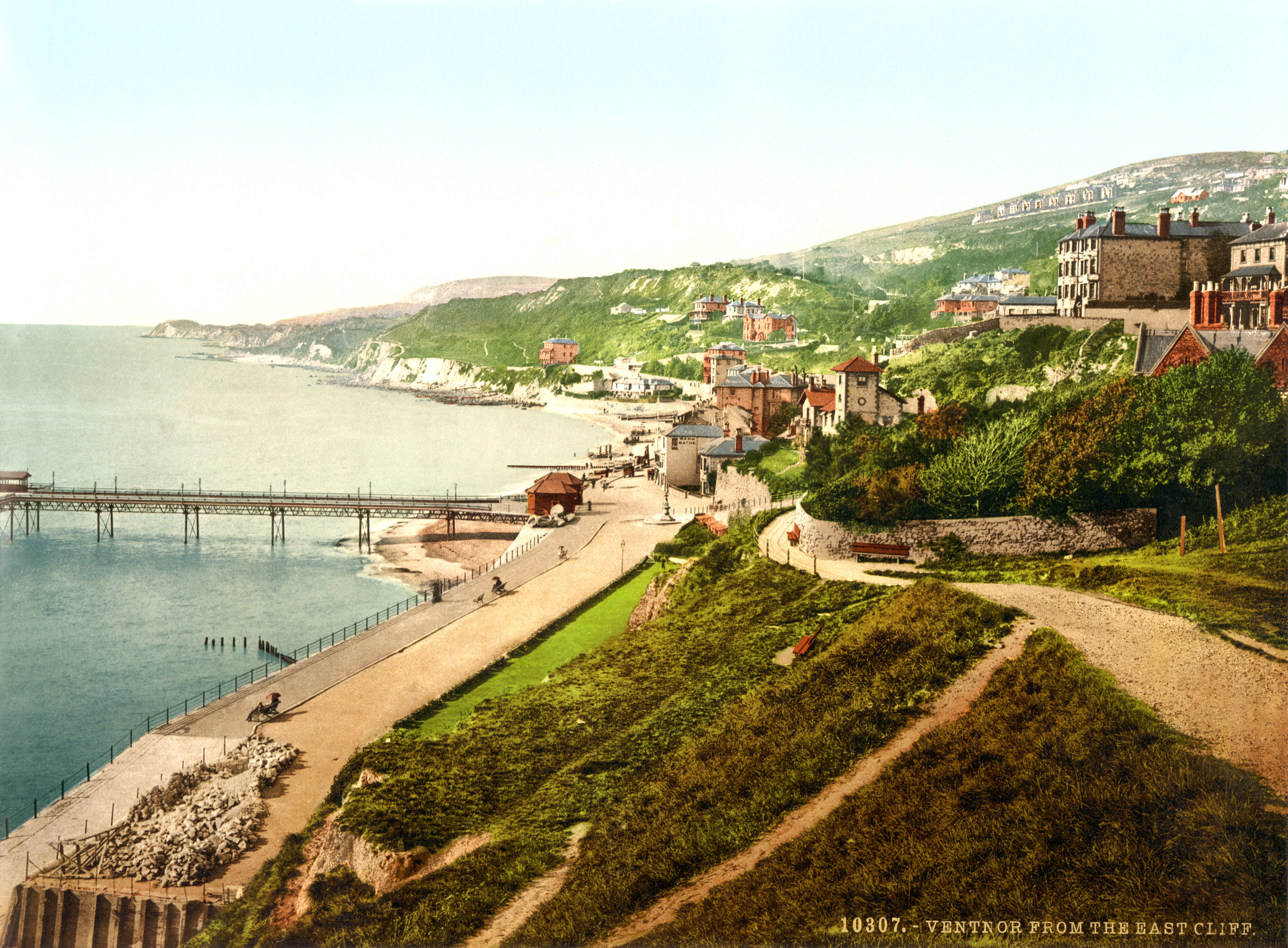
Ventnor () is a seaside resort and civil parish established in the Victorian era on the southeast coast of the Isle of Wight, England, from Newport. It is situated south of St Boniface Down, and built on steep slopes leading down to the sea. The higher part is referred to as Upper Ventnor (officially Lowtherville); the lower part, where most amenities are located, is known as Ventnor. Ventnor is sometimes taken to include the nearby and older settlements of St Lawrence and Bonchurch, which are covered by its town council. The population of the parish in 2016 was about 5,800. Ventnor became extremely fashionable as both a health and holiday resort in the late 19th century, described as the 'English Mediterranean' and 'Mayfair by the Sea'. Medical advances during the early twentieth century reduced its role as a health resort and, like other British seaside resorts, its summer holiday trade suffered from the changing nature of travel during the latter part of the century. Its ... [...More Info...] [...Related Items...] OR: [Wikipedia] [Google] [Baidu] |
Isle Of Wight (UK Parliament Constituency)
Isle of Wight ( ) is a constituency represented in the House of Commons of the UK Parliament since 2017 by Bob Seely, a Conservative. Created by the Great Reform Act for the 1832 general election, it covers the whole of the Isle of Wight. It had the largest electorate of any constituency at the 2019 general election. Boundaries The Isle of Wight has been a single seat of the House of Commons since 1832. It covers the same land as the ceremonial county of the Isle of Wight and the area administered by the unitary authority, Isle of Wight Council: a diamond-shaped island with rounded oblique corners, measuring by , the Needles and similar small uninhabitable rocks of very small square surface area. The island is linked by ferry crossings from four points (five points if counting Cowes and East Cowes separately) to three points in Hampshire: Lymington, Southampton and Portsmouth. Its electorate of 113,021 at the 2019 general election is the largest in the UK, more than 50 ... [...More Info...] [...Related Items...] OR: [Wikipedia] [Google] [Baidu] |
Isle Of Wight
The Isle of Wight ( ) is a county in the English Channel, off the coast of Hampshire, from which it is separated by the Solent. It is the largest and second-most populous island of England. Referred to as 'The Island' by residents, the Isle of Wight has resorts that have been popular holiday destinations since Victorian times. It is known for its mild climate, coastal scenery, and verdant landscape of fields, downland and chines. The island is historically part of Hampshire, and is designated a UNESCO Biosphere Reserve. The island has been home to the poets Algernon Charles Swinburne and Alfred, Lord Tennyson. Queen Victoria built her summer residence and final home, Osborne House at East Cowes, on the Isle. It has a maritime and industrial tradition of boat-building, sail-making, the manufacture of flying boats, hovercraft, and Britain's space rockets. The island hosts annual music festivals, including the Isle of Wight Festival, which in 1970 was the largest rock music ... [...More Info...] [...Related Items...] OR: [Wikipedia] [Google] [Baidu] |
England
England is a country that is part of the United Kingdom. It shares land borders with Wales to its west and Scotland to its north. The Irish Sea lies northwest and the Celtic Sea to the southwest. It is separated from continental Europe by the North Sea to the east and the English Channel to the south. The country covers five-eighths of the island of Great Britain, which lies in the North Atlantic, and includes over 100 smaller islands, such as the Isles of Scilly and the Isle of Wight. The area now called England was first inhabited by modern humans during the Upper Paleolithic period, but takes its name from the Angles, a Germanic tribe deriving its name from the Anglia peninsula, who settled during the 5th and 6th centuries. England became a unified state in the 10th century and has had a significant cultural and legal impact on the wider world since the Age of Discovery, which began during the 15th century. The English language, the Anglican Church, and Engli ... [...More Info...] [...Related Items...] OR: [Wikipedia] [Google] [Baidu] |
Bonchurch
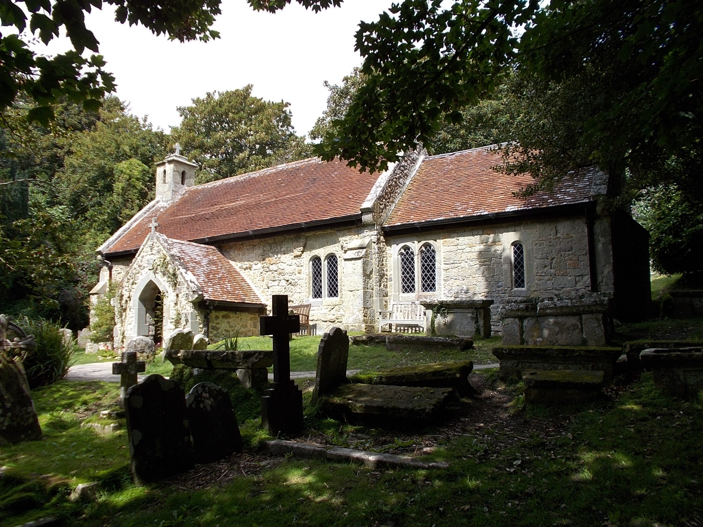
Bonchurch is a small village to the east of Ventnor, now largely connected to the latter by suburban development, on the southern part of the Isle of Wight, England. One of the oldest settlements on the Isle of Wight, it is situated on Undercliff (Isle of Wight), The Undercliff adjacent to the Bonchurch Landslips (or "The Landslip") Site of Special Scientific Interest. The main village is backed by a cliff to the north, with the Upper Bonchurch section on the clifftop halfway up St Boniface Down on the main A3055 road. Geography Bonchurch is situated on a stable section of former landslip, its main street (Bonchurch Village Road) running east–west in a valley sheltered to the north by cliffs, and to the south by The Mount, a ridge of slipped rock. Bonchurch Village Road has an adjacent landscaped pond, fed by a Spring (hydrology), spring, on the site of former withy beds. The Shanklin-Ventnor route originally passed through Bonchurch, descending the cliff by the steep Bonchurch ... [...More Info...] [...Related Items...] OR: [Wikipedia] [Google] [Baidu] |
English Channel
The English Channel, "The Sleeve"; nrf, la Maunche, "The Sleeve" (Cotentinais) or ( Jèrriais), (Guernésiais), "The Channel"; br, Mor Breizh, "Sea of Brittany"; cy, Môr Udd, "Lord's Sea"; kw, Mor Bretannek, "British Sea"; nl, Het Kanaal, "The Channel"; german: Ärmelkanal, "Sleeve Channel" ( French: ''la Manche;'' also called the British Channel or simply the Channel) is an arm of the Atlantic Ocean that separates Southern England from northern France. It links to the southern part of the North Sea by the Strait of Dover at its northeastern end. It is the busiest shipping area in the world. It is about long and varies in width from at its widest to at its narrowest in the Strait of Dover."English Channel". ''The Columbia Encyclopedia'', 2004. It is the smallest of the shallow seas around the continental shelf of Europe, covering an area of some . The Channel was a key factor in Britain becoming a naval superpower and has been utilised by Britain as a natural def ... [...More Info...] [...Related Items...] OR: [Wikipedia] [Google] [Baidu] |
Horseshoe Bay, Isle Of Wight
Horseshoe Bay is a small bay on the south-east coast of the Isle of Wight, England. It lies at the east end of the headland of Culver Down. It faces south-east towards the English Channel and its shoreline is approximately in length. It should not be confused with a similarly named Horseshoe Bay about southwest at Bonchurch. The seabed is rocky and the beach comprises a steep bank of flint pebbles. The cliffs are sheer, concave and are made of chalk, which is unstable and persons on the beach are at risk of being injured by falling rocks dislodged by the many seabirds that use the cliff as a breeding ground. Horseshoe Bay lies north-north-east and adjacent to, two caves known as The Nostrils. These can be reached by scrambling over a small rocky outcrop and are partly submerged at high tide. The beach can only be reached at high tide by boat; but in low tide it can be reached at beach level from the headland from Whitecliff Bay. At a certain time of the year, on very low ... [...More Info...] [...Related Items...] OR: [Wikipedia] [Google] [Baidu] |
Seawall
A seawall (or sea wall) is a form of coastal defense constructed where the sea, and associated coastal processes, impact directly upon the landforms of the coast. The purpose of a seawall is to protect areas of human habitation, conservation and leisure activities from the action of tides, waves, or tsunamis. As seawall is a static feature it will conflict with the dynamic nature of the coast and impede the exchange of sediment between land and sea. Seawall designs factor in local climate, coastal position, wave regime (determined by wave characteristics and effectors), and value (morphological characteristics) of landform. Seawalls are hard engineering shore-based structures which protect the coast from erosion. Various environmental issues may arise from the construction of a seawall, including the disruption of sediment movement and transport patterns. Combined with a high construction cost, this has led to an increasing use of other soft engineering coastal management o ... [...More Info...] [...Related Items...] OR: [Wikipedia] [Google] [Baidu] |
Berm
A berm is a level space, shelf, or raised barrier (usually made of compacted soil) separating areas in a vertical way, especially partway up a long slope. It can serve as a terrace road, track, path, a fortification line, a border/ separation barrier for navigation, good drainage, industry, or other purposes. Etymology The word is one of Middle Dutch and came into usage in English via French. Military use History In medieval military engineering, a berm (or berme) was a level space between a parapet or defensive wall and an adjacent steep-walled ditch or moat. It was intended to reduce soil pressure on the walls of the excavated part to prevent its collapse. It also meant that debris dislodged from fortifications would not fall into (and fill) a ditch or moat. In the trench warfare of World War I, the name was applied to a similar feature at the lip of a trench, which served mainly as an elbow-rest for riflemen. Modern usage In modern military engineering, a berm is ... [...More Info...] [...Related Items...] OR: [Wikipedia] [Google] [Baidu] |
Isle Of Wight Coastal Path
The Isle of Wight Coastal Path (or Coastal Footpath) is a circular long-distance footpath of 70 miles (113 km) around the Isle of Wight, UK. It follows public footpaths and minor lanes, with some sections along roads. Route The path is waymarked in both directions and can be started at any point, but is described here clockwise from the pier at Ryde (). Ryde to Sandown Ryde to Bembridge (7.5 miles) From the bus station by Ryde Pier, the path follows the Esplanade close to the beach. It passes Appley Tower and Puckpool Point before rejoining the coast road to Seaview. It then climbs inland on footpaths, skirting Priory Woods, before returning to sea level at The Duver near St Helen's Old Church. Then the path crosses the edge of Bembridge Harbour on the old mill wall, using Embankment Road to pass the houseboats in the harbour. The path then continues into Bembridge and to the Lifeboat Station. Bembridge to Sandown (5.5 miles) The path follows the coa ... [...More Info...] [...Related Items...] OR: [Wikipedia] [Google] [Baidu] |


