|
Heart West Country
Heart West Country was a regional radio station owned and operated by Global Radio as part of the Heart network, broadcasting to Bristol and Somerset. It launched on 16 July 2010 as a result of a merger between Heart Bristol (formerly GWR FM), Heart Bath (formerly GWR FM Bath) and Heart Somerset (formerly Orchard FM). History The regional station originally broadcast as three separate stations – GWR FM began broadcasting to Bristol in October 1985, following a merger between Radio West and Swindon's Wiltshire Radio. Two years later, GWR launched a separate service for the Bath area (although some local programming was simulcast with GWR Bristol). Meanwhile, Orchard FM began broadcasting to Somerset in November 1989 – the station was bought out by GWR Group as part of its acquisition of the Orchard Media Group ten years later. In 2005, the GWR Group merged with Capital Radio to form GCap Media – shortly afterwards, Orchard FM and ten other stations (outside of the comp ... [...More Info...] [...Related Items...] OR: [Wikipedia] [Google] [Baidu] |
Bristol
Bristol () is a city, ceremonial county and unitary authority in England. Situated on the River Avon, it is bordered by the ceremonial counties of Gloucestershire to the north and Somerset to the south. Bristol is the most populous city in South West England. The wider Bristol Built-up Area is the eleventh most populous urban area in the United Kingdom. Iron Age hillforts and Roman villas were built near the confluence of the rivers Frome and Avon. Around the beginning of the 11th century, the settlement was known as (Old English: 'the place at the bridge'). Bristol received a royal charter in 1155 and was historically divided between Gloucestershire and Somerset until 1373 when it became a county corporate. From the 13th to the 18th century, Bristol was among the top three English cities, after London, in tax receipts. A major port, Bristol was a starting place for early voyages of exploration to the New World. On a ship out of Bristol in 1497, John Cabot, a ... [...More Info...] [...Related Items...] OR: [Wikipedia] [Google] [Baidu] |
Shepton Mallet
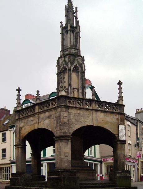
Shepton Mallet is a market town and civil parish in the Mendip District of Somerset, England, some south-west of Bath, south of Bristol and east of Wells. It had an estimated population of 10,810 in 2019. Mendip District Council is based there. The Mendip Hills lie to the north and the River Sheppey runs through the town, as does the route of the Fosse Way, the main Roman road between north-east and south-west England. There is evidence of Roman settlement. Its listed buildings include a medieval parish church. Shepton Mallet Prison was England's oldest, but closed in March 2013. The medieval wool trade gave way to trades such as brewing in the 18th century. It remains noted for cider production. It is the closest town to the Glastonbury Festival and nearby the Royal Bath and West of England Society showground. History Etymology The name Shepton derives from the Old English ''scoep'' and ''tun'', meaning "sheep farm"; the ''Domesday Book'' of 1086 records a settlement k ... [...More Info...] [...Related Items...] OR: [Wikipedia] [Google] [Baidu] |
North Somerset
North Somerset is a unitary district in Somerset, South West England. Whilst its area covers part of the ceremonial county of Somerset, it is administered independently of the non-metropolitan county. Its administrative headquarters is in the town hall in Weston-super-Mare. North Somerset, which was renamed from the Woodspring district in 1996, borders the city and county of Bristol and the local government areas of Bath and North East Somerset, Mendip and Sedgemoor. The area comprises the parliamentary constituencies of Weston-super-Mare and North Somerset. History Between 1 April 1974 and 31 March 1996, this area was the Woodspring district of the county of Avon (named after Woodspring Priory, an isolated medieval church near the coast just north east of Weston-super-Mare). The district of Woodspring was formed from the municipal boroughs of Weston-super-Mare, Clevedon and Portishead urban districts, Long Ashton Rural District, and part of Axbridge Rural District. ... [...More Info...] [...Related Items...] OR: [Wikipedia] [Google] [Baidu] |
MuxCo
MuxCo is an operator of digital radio in the United Kingdom. It is, in joint ventures, the licensee for local DAB ensembles in various parts of England and Wales. The company is owned by Arqiva, Bauer Radio and Folder Media. (owners of Fun Kids).Despite having had several licences since 2008, it did not launch any services until 2013. "MuxCo Suffolk Ltd" is a joint venture between MuxCo, Nation Broadcasting Nation Broadcasting is a British media company headquartered in the Vale of Glamorgan, Wales. It currently owns and operates twelve Independent Local Radio stations across the United Kingdom. History Originally known as Town and Country Broa ... and launched on 30 September 2016. The first launch, of the multiplex based in Wrexham and Cheshire, was planned for November 2012 but was pushed back to the beginning of 2013. Test transmissions from Moel-y-Parc began on Monday 11 March 2013 and from Wrexham Rhos on Tuesday 12 March 2013, with full transmissions from the ... [...More Info...] [...Related Items...] OR: [Wikipedia] [Google] [Baidu] |
Arqiva
Arqiva () is a British telecommunications company which provides infrastructure, broadcast transmission and smart meter facilities in the United Kingdom. The company is headquartered at the former Independent Broadcasting Authority headquarters at Crawley Court in the village of Crawley, Hampshire, just outside Winchester. Its main customers are broadcasters and utility companies, and its main asset is a network of circa. 1,500 radio and television transmission sites. It is owned by a consortium of investors led by CPP (Canada Pension Plan) and the Australian investment house Macquarie Bank. Arqiva is a patron of the Radio Academy. Through its Now Digital subsidiary, it operates various local digital radio ensembles. History The company, which has a history that dates back to the beginning of regular public broadcasting in the United Kingdom, was actually only formed in 2005. Below is a potted history of the various organisations that are now part of Arqiva: BBC Respon ... [...More Info...] [...Related Items...] OR: [Wikipedia] [Google] [Baidu] |
Calne
Calne () is a town and civil parish in Wiltshire, southwestern England,OS Explorer Map 156, Chippenham and Bradford-on-Avon Scale: 1:25 000.Publisher: Ordnance Survey A2 edition (2007). at the northwestern extremity of the North Wessex Downs hill range, a designated Area of Outstanding Natural Beauty. Calne is on a small river, the Marden, that rises away in the Wessex Downs, and is the only town on that river. It is on the A4 road national route east of Bath, east of Chippenham, west of Marlborough and southwest of Swindon. Wiltshire's county town of Trowbridge is to the southwest, with London due east as the crow flies. At the 2011 Census, Calne had 17,274 inhabitants. History In 978, Anglo-Saxon Calne was the site of a large two-storey building with a hall on the first floor. It was here that St Dunstan, Archbishop of Canterbury met the Witenagemot to justify his controversial organisation of the national church, which involved the secular priests being r ... [...More Info...] [...Related Items...] OR: [Wikipedia] [Google] [Baidu] |
Trowbridge
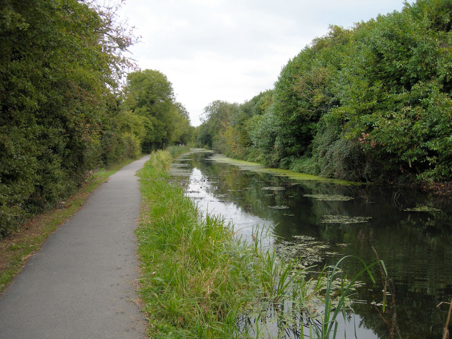
Trowbridge ( ) is the county town of Wiltshire, England, on the River Biss in the west of the county. It is near the border with Somerset and lies southeast of Bath, 31 miles (49 km) southwest of Swindon and 20 miles (32 km) southeast of Bristol. The town had a population of 37,169 in 2021. Long a market town, the Kennet and Avon canal to the north of Trowbridge played an instrumental part in the town's development as it allowed coal to be transported from the Somerset Coalfield and so marked the advent of steam-powered manufacturing in woollen cloth mills. The town was the foremost producer of this mainstay of contemporary clothing and blankets in south west England in the late 18th and early 19th centuries, by which time it held the nickname "The Manchester of the West". The civil parish of Trowbridge had a population of 33,108 at the 2011 census. The parish encompasses the settlements of Longfield, Lower Studley, Upper Studley, Studley Green and Trowle Common. ... [...More Info...] [...Related Items...] OR: [Wikipedia] [Google] [Baidu] |
Melksham
Melksham () is a town on the River Avon in Wiltshire, England, about northeast of Trowbridge and south of Chippenham. At the 2011 census, the Melksham built-up area had a population of 19,357, making it Wiltshire's fifth-largest settlement after Swindon, Salisbury, Chippenham and Trowbridge. History Early history Excavations in 2021 in the grounds of Melksham House found fragments of locally made pottery from the early Iron Age (7th to 4th centuries BC). There is evidence of settlement continuing into the later Iron Age and Roman periods, including Roman clay roof tiles. Melksham developed at a ford across the River Avon. The name is presumed to derive from "''meolc''", the Old English for milk, and ''"ham"'', a village. On John Speed's map of Wiltshire (1611), the name is spelt both ''Melkesam'' (for the hundred) and ''Milsham'' (for the town itself). Melksham is also the name of the Royal forest that occupied the surrounding of the area in the Middle Ages. Land ... [...More Info...] [...Related Items...] OR: [Wikipedia] [Google] [Baidu] |
Corsham
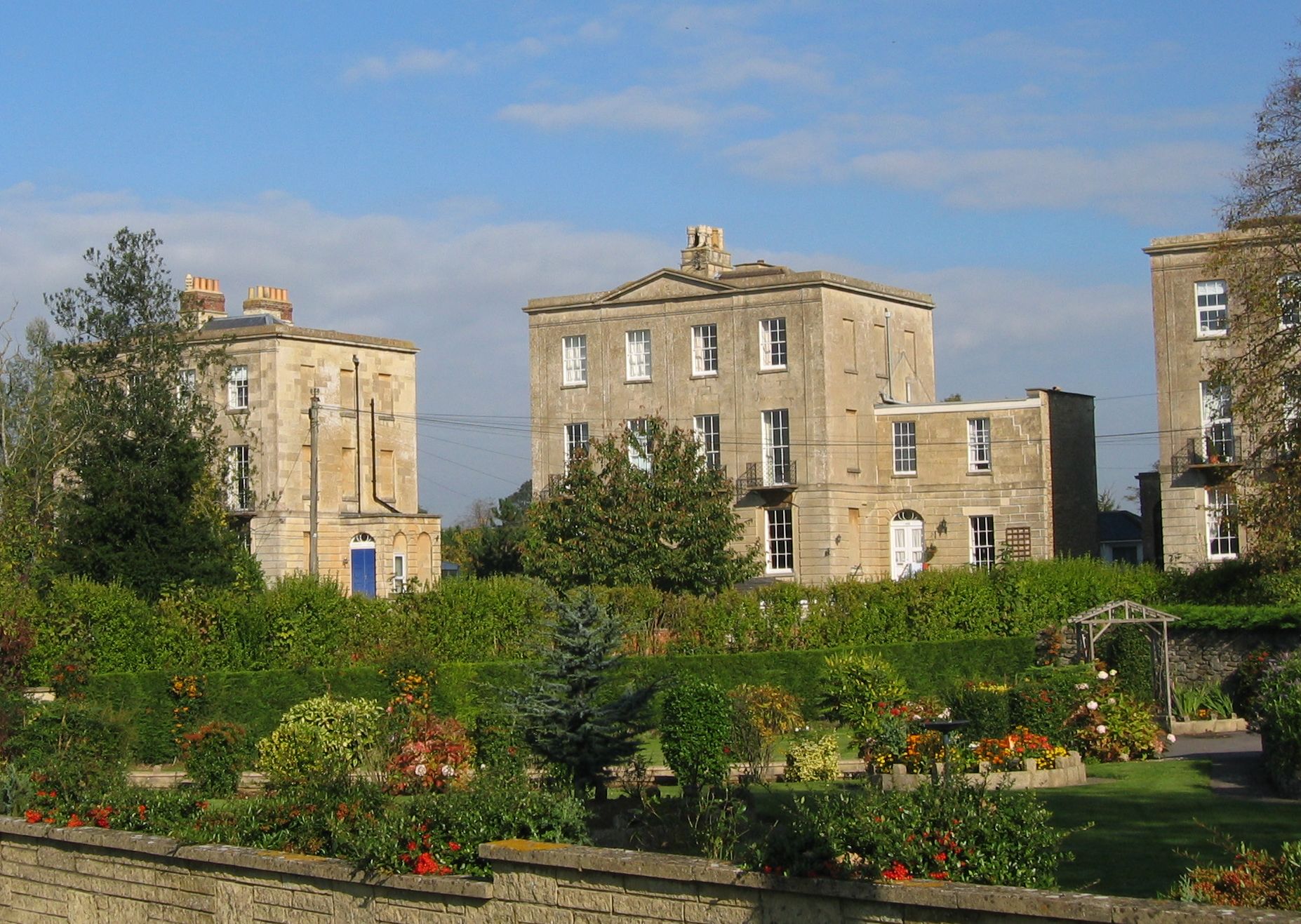
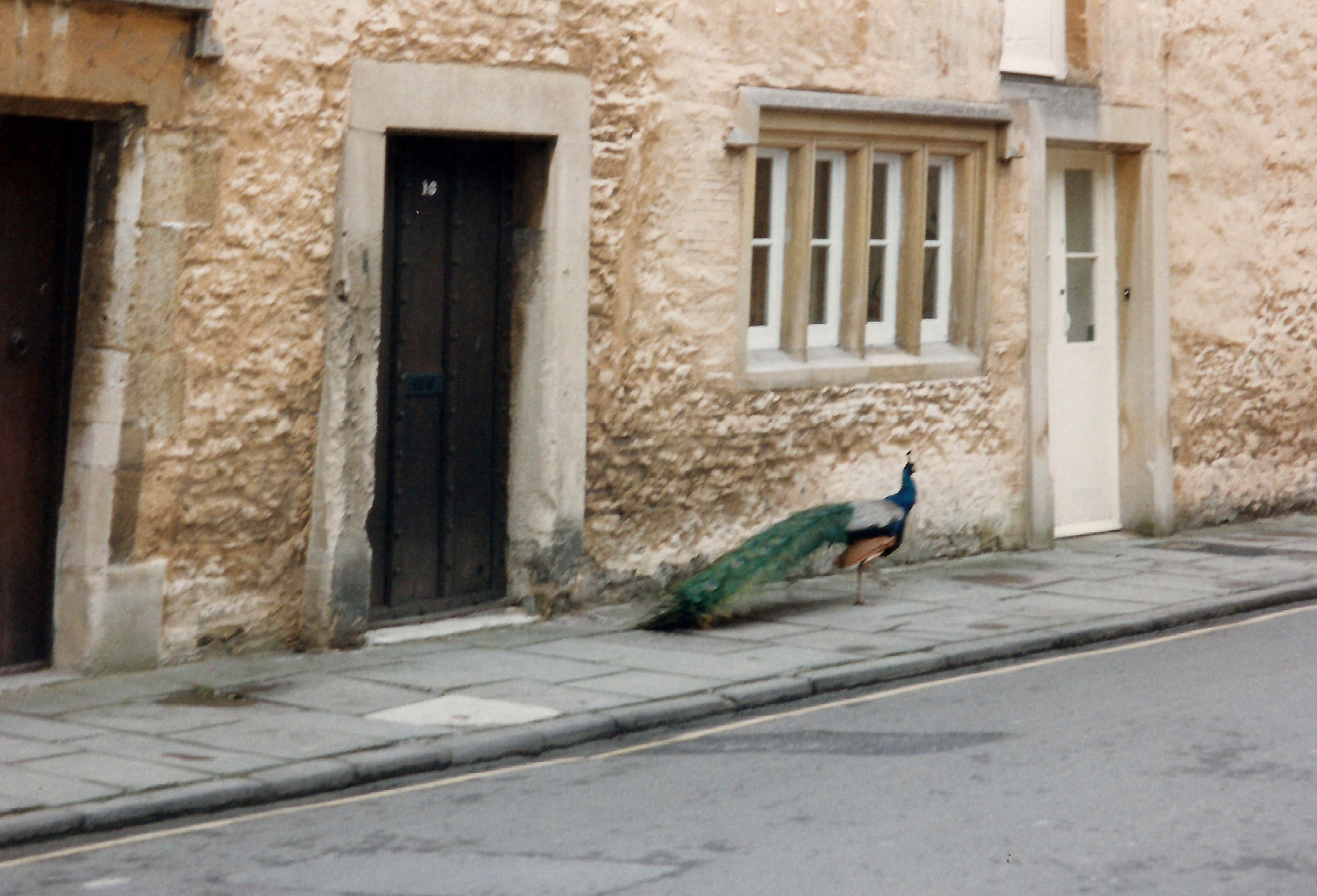
Corsham is a historic market town and civil parish in west Wiltshire, England. It is at the south-eastern edge of the Cotswolds, just off the A4 national route, southwest of Swindon, southeast of Bristol, northeast of Bath and southwest of Chippenham. Historically, Corsham was a centre for agriculture and later, the wool industry, and remains a focus for quarrying Bath Stone. It has several notable historic buildings; among them the stately home of Corsham Court. During the Second World War and the Cold War it became a major administrative and manufacturing centre for the Ministry of Defence, with numerous establishments both above ground and in disused quarry tunnels. The parish includes the villages of Gastard and Neston, which is at the gates of the Neston Park estate. History Corsham appears to derive its name from ''Cosa's hām'', "ham" being Old English for homestead, or village. The town is referred in the Domesday book as ''Cosseham''; the letter 'R' appea ... [...More Info...] [...Related Items...] OR: [Wikipedia] [Google] [Baidu] |
Chippenham
Chippenham is a market town in northwest Wiltshire, England. It lies northeast of Bath, west of London, and is near the Cotswolds Area of Natural Beauty. The town was established on a crossing of the River Avon and some form of settlement is believed to have existed there since before Roman times. It was a royal vill, and probably a royal hunting lodge, under Alfred the Great. The town continued to grow when the Great Western Railway arrived in 1841. The town had a population of 36,548 in 2021. Geography Location Chippenham is in western Wiltshire, at a prominent crossing of the River Avon, between the Marlborough Downs to the east, the southern Cotswolds to the north and west and Salisbury Plain to the southeast. The town is surrounded by sparsely populated countryside and there are several woodlands in or very near the town, such as Bird's Marsh, Vincients Wood and Briars Wood. Suburbs Suburbs include Cepen Park (North & South), Hardenhuish, Monkton, Lowden, Pewsh ... [...More Info...] [...Related Items...] OR: [Wikipedia] [Google] [Baidu] |
Swindon
Swindon () is a town and unitary authority with borough status in Wiltshire, England. As of the 2021 Census, the population of Swindon was 201,669, making it the largest town in the county. The Swindon unitary authority area had a population of 233,410 as of 2021. Located in South West England, the town lies between Bristol, 35 miles (56 kilometres) to its west, and Reading, equidistant to its east. Recorded in the 1086 Domesday Book as ''Suindune'', it was a small market town until the mid-19th century, when it was selected as the principal site for the Great Western Railway's repair and maintenance works, leading to a marked increase in its population. The new town constructed for the railway workers produced forward-looking amenities such as the UK’s first lending library and a ‘cradle-to-grave' health care centre that was later used as a blueprint for the NHS. After the Second World War, the town expanded dramatically again, as industry and people moved out f ... [...More Info...] [...Related Items...] OR: [Wikipedia] [Google] [Baidu] |
Marlborough, Wiltshire
Marlborough ( , ) is a market town and civil parish in the English county of Wiltshire on the Old Bath Road, the old main road from London to Bath. The town is on the River Kennet, 24 miles (39 km) north of Salisbury and 10 miles (16 km) southeast of Swindon. History The earliest sign of human habitation is the Marlborough Mound, a prehistoric tumulus in the grounds of Marlborough College. Recent radiocarbon dating has found it to date from about 2400 BC. It is of similar age to the larger Silbury Hill about west of the town. Legend has it that the Mound is the burial site of Merlin and that the name of the town comes from Merlin's Barrow. More plausibly, the town's name possibly derives from the medieval term for chalky ground "marl"—thus, "town on chalk". However more recent research, from geographer John Everett-Heath, identifies the original Anglo-Saxon place name as ''Merleberge'', with a derivation from either the personal name of ''Mærle'' combined wi ... [...More Info...] [...Related Items...] OR: [Wikipedia] [Google] [Baidu] |


.jpg)