|
Hammerschmiede Clay Pit
The Hammerschmiede clay pit (German: Tongrube Hammerschmiede) is a fossil bearing locality in Pforzen, Bavaria, Germany most well known for the discovery of '' Danuvius guggenmosi'', the potentially earliest known bipedal ape. With an age of 11.66-11.42 Ma the site dates to the transition between the Middle and Late Miocene epoch, providing an important window into the faunal changes taking place during this time. This correlates to the time just after the Serravallian-Tortonian boundary, and the MN zones 7/8. It is one of the most well-known Miocene sites, with over 15,000 individual fossils and 117 species having been discovered as of 2020. It has been called "the most important German paleontological discovery of the last decades". History Hammerschmiede's first fossils were first discovered by the hobby archaeologist Siegulf Guggenmos in 1972. The site became known in academic circles following publications on its rich fauna of micromammals in 1975.Helmut Mayr, Volker Fahl ... [...More Info...] [...Related Items...] OR: [Wikipedia] [Google] [Baidu] |
Fossil Site
This list of fossil sites is a worldwide list of localities known well for the presence of fossils. Some entries in this list are notable for a single, unique find, while others are notable for the large number of fossils found there. Many of the entries in this list are considered Lagerstätten (sedimentary deposits that exhibits extraordinary fossils with exceptional preservation—sometimes including preserved soft tissues). Lagerstätten are indicated by a note () in the noteworthiness column. Fossils may be found either associated with a geological formation or at a single geographic site. Geological formations consist of rock that was deposited during a specific period of time. They usually extend for large areas, and sometimes there are different important sites in which the same formation is exposed. Such sites may have separate entries if they are considered to be more notable than the formation as a whole. In contrast, extensive formations associated with large areas m ... [...More Info...] [...Related Items...] OR: [Wikipedia] [Google] [Baidu] |
Naturmuseum Senckenberg
The Naturmuseum Senckenberg is a museum of natural history, located in Frankfurt am Main. It is the second-largest of its type in Germany. The museum contains a large and diverse collection of birds with 90,000 bird skins, 5,050 egg sets, 17,000 skeletons, and 3,375 spirit specimens (a specimen preserved in fluid). In 2010, almost 517,000 people visited the museum. The building housing the Senckenberg Museum was erected between 1904 and 1907 outside of the center of Frankfurt in the same area as the Johann Wolfgang Goethe University, which was founded in 1914. The museum is owned and operated by the Senckenberg Nature Research Society, which began with an endowment by Johann Christian Senckenberg. Attractions include a ''Diplodocus'' (donated by the American Museum of Natural History on the occasion of the present museum building's inauguration in 1907), the crested Hadrosaur ''Parasaurolophus'', a fossilized ''Psittacosaurus'' with clear bristles around its tail and visible f ... [...More Info...] [...Related Items...] OR: [Wikipedia] [Google] [Baidu] |
Mica
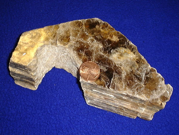
Micas ( ) are a group of silicate minerals whose outstanding physical characteristic is that individual mica crystals can easily be split into extremely thin elastic plates. This characteristic is described as perfect basal cleavage. Mica is common in igneous and metamorphic rock and is occasionally found as small flakes in sedimentary rock. It is particularly prominent in many granites, pegmatites, and schists, and "books" (large individual crystals) of mica several feet across have been found in some pegmatites. Micas are used in products such as drywalls, paints, fillers, especially in parts for automobiles, roofing and shingles, as well as in electronics. The mineral is used in cosmetics and food to add "shimmer" or "frost." Properties and structure The mica group is composed of 37 phyllosilicate minerals. All crystallize in the monoclinic system, with a tendency towards pseudohexagonal crystals, and are similar in structure but vary in chemical composition. Micas are ... [...More Info...] [...Related Items...] OR: [Wikipedia] [Google] [Baidu] |
Paleosol
In the geosciences, paleosol (''palaeosol'' in Great Britain and Australia) is an ancient soil that formed in the past. The precise definition of the term in geology and paleontology is slightly different from its use in soil science. In geology and paleontology, a paleosol is a former soil preserved by burial underneath either sediments (alluvium or loess) or volcanic deposits (volcanic ash), which in the case of older deposits have lithified into rock. In Quaternary geology, sedimentology, paleoclimatology, and geology in general, it is the typical and accepted practice to use the term "paleosol" to designate such "''fossil soils''" found buried within sedimentary and volcanic deposits exposed in all continents. In soil science the definition differs only slightly: ''paleosols'' are soils formed long ago that have no relationship in their chemical and physical characteristics to the present-day climate or vegetation. Such soils are found within extremely old continental cra ... [...More Info...] [...Related Items...] OR: [Wikipedia] [Google] [Baidu] |
Soil Formation
Soil formation, also known as pedogenesis, is the process of soil genesis as regulated by the effects of place, environment, and history. Biogeochemical processes act to both create and destroy order (anisotropy) within soils. These alterations lead to the development of layers, termed soil horizon, distinguished by differences in color, structure, texture, and chemistry. These features occur in patterns of soil type distribution, forming in response to differences in soil forming factors. Pedogenesis is studied as a branch of pedology, the study of soil in its natural environment. Other branches of pedology are the study of soil morphology, and soil classification. The study of pedogenesis is important to understanding soil distribution patterns in current ( soil geography) and past (paleopedology) geologic periods. Overview Soil develops through a series of changes. The starting point is weathering of freshly accumulated parent material. A variety of soil microbes (bacteria, ar ... [...More Info...] [...Related Items...] OR: [Wikipedia] [Google] [Baidu] |
Gastropoda
The gastropods (), commonly known as snails and slugs, belong to a large taxonomic class of invertebrates within the phylum Mollusca called Gastropoda (). This class comprises snails and slugs from saltwater, from freshwater, and from land. There are many thousands of species of sea snails and slugs, as well as freshwater snails, freshwater limpets, and land snails and slugs. The class Gastropoda contains a vast total of named species, second only to the insects in overall number. The fossil history of this class goes back to the Late Cambrian. , 721 families of gastropods are known, of which 245 are extinct and appear only in the fossil record, while 476 are currently extant with or without a fossil record. Gastropoda (previously known as univalves and sometimes spelled "Gasteropoda") are a major part of the phylum Mollusca, and are the most highly diversified class in the phylum, with 65,000 to 80,000 living snail and slug species. The anatomy, behavior, feeding, a ... [...More Info...] [...Related Items...] OR: [Wikipedia] [Google] [Baidu] |
Marl
Marl is an earthy material rich in carbonate minerals, clays, and silt. When hardened into rock, this becomes marlstone. It is formed in marine or freshwater environments, often through the activities of algae. Marl makes up the lower part of the cliffs of Dover, and the Channel Tunnel follows these marl layers between France and the United Kingdom. Marl is also a common sediment in post-glacial lakes, such as the marl ponds of the northeastern United States. Marl has been used as a soil conditioner and neutralizing agent for acid soil and in the manufacture of cement. Description Marl or marlstone is a carbonate-rich mud or mudstone which contains variable amounts of clays and silt. The term was originally loosely applied to a variety of materials, most of which occur as loose, earthy deposits consisting chiefly of an intimate mixture of clay and calcium carbonate, formed under freshwater conditions. These typically contain 35–65% clay and 65–35% carbonate. The te ... [...More Info...] [...Related Items...] OR: [Wikipedia] [Google] [Baidu] |
Lignite
Lignite, often referred to as brown coal, is a soft, brown, combustible, sedimentary rock formed from naturally compressed peat. It has a carbon content around 25–35%, and is considered the lowest rank of coal due to its relatively low heat content. When removed from the ground, it contains a very high amount of moisture which partially explains its low carbon content. Lignite is mined all around the world and is used almost exclusively as a fuel for steam-electric power generation. The combustion of lignite produces less heat for the amount of carbon dioxide and sulfur released than other ranks of coal. As a result, environmental advocates have characterized lignite as the most harmful coal to human health. Depending on the source, various toxic heavy metals, including naturally occurring radioactive materials may be present in lignite which are left over in the coal fly ash produced from its combustion, further increasing health risks. Characteristics Lignite is brow ... [...More Info...] [...Related Items...] OR: [Wikipedia] [Google] [Baidu] |
Molasse Basin
The Molasse basin (or North Alpine foreland basin) is a foreland basin north of the Alps which formed during the Oligocene and Miocene epochs. The basin formed as a result of the flexure of the European plate under the weight of the orogenic wedge of the Alps that was forming to the south. In geology, the name "molasse basin" is sometimes also used in a general sense for a synorogenic (formed contemporaneously with the orogen) foreland basin of the type north of the Alps. The basin is the type locality of molasse, a sedimentary sequence of conglomerates and sandstones, material that was removed from the developing mountain chain by erosion and denudation, that is typical for foreland basins. Geographic location The Molasse basin stretches over 1000 kilometers along the long axis of the Alps, in France, Switzerland, Germany and Austria. The west end is at Lake Geneva, where the basin's outcrop is just 20 km wide. Further to the northeast the basin becomes wider. It ... [...More Info...] [...Related Items...] OR: [Wikipedia] [Google] [Baidu] |
Kaufbeuren
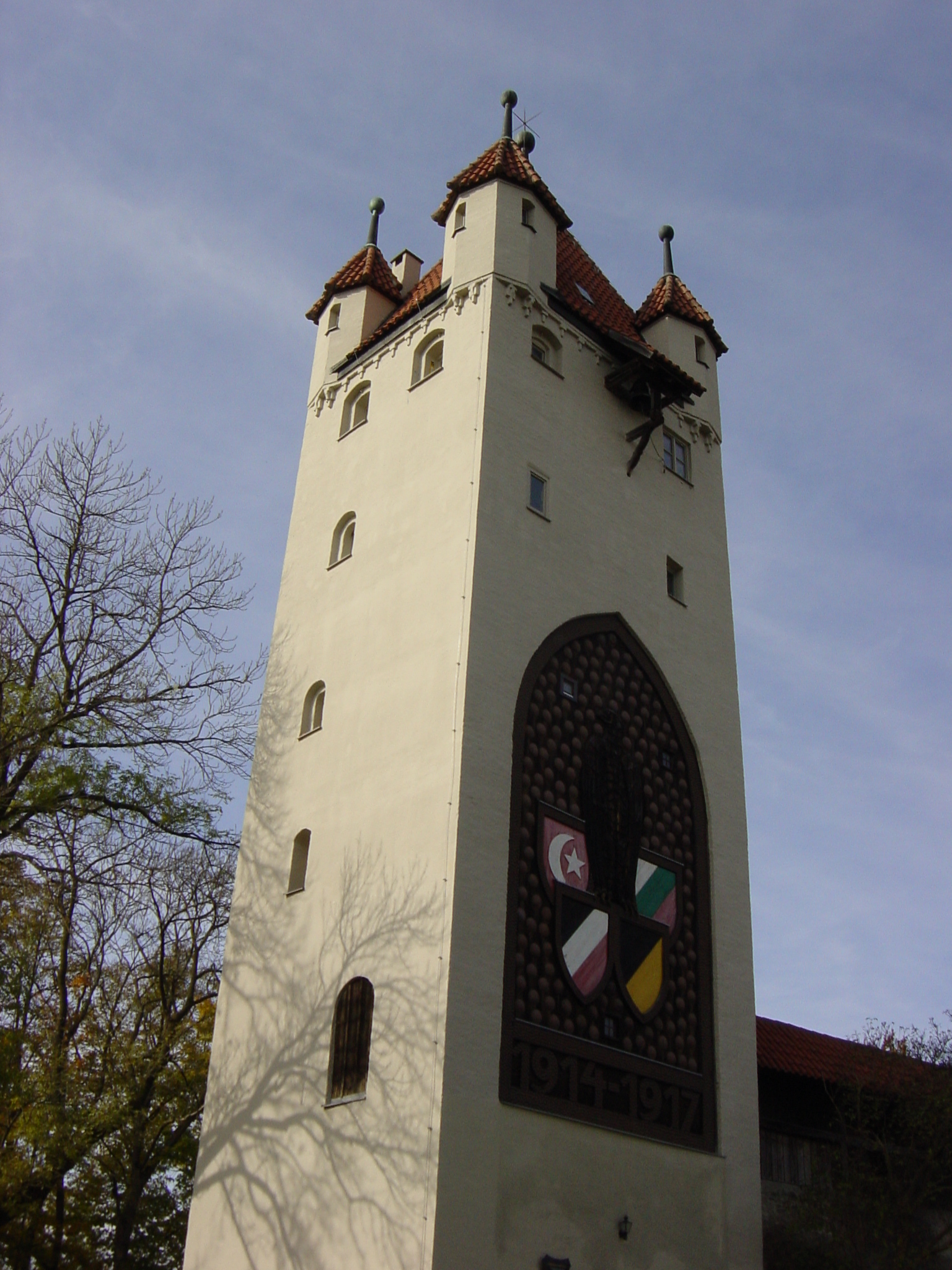
Kaufbeuren (; Bavarian: ''Kaufbeiren'') is an independent town in the ''Regierungsbezirk'' of Swabia, Bavaria. The town is an enclave within the district of Ostallgäu. Districts Kaufbeuren consists of nine districts: * Kaufbeuren (town core incl. historical town) * Kaufbeuren-Neugablonz * Oberbeuren * Hirschzell * Kleinkemnat * Großkemnat * Märzisried * Ölmühlhang * Sankt Cosmas MayorsStefan Bosse (CSU) is the Lord Mayor of Kaufbeuren since November 2004. He was reelected in March 2014 with 57.48% of the votes and again in March 2020 with 54.5% of the votes. Landmarks * Town hall (built 1879–1881)Crescentiakloster (founded 1150) * Historical town with partia ... [...More Info...] [...Related Items...] OR: [Wikipedia] [Google] [Baidu] |
Wertach (river)
The Wertach is a river in Bavaria, southern Germany, a left tributary of the Lech (river), Lech. Its total length is . The Wertach originates in the Northern Limestone Alps in Bad Hindelang, east of Sonthofen (Oberallgäu, district Oberallgäu). It flows north along the towns Wertach, Nesselwang, Marktoberdorf, Kaufbeuren, Schwabmünchen and Bobingen. The Wertach flows into the Lech (itself a tributary of the Danube) in Augsburg. See also * List of rivers of Bavaria Sources * Nowotny, Peter (2001). ''An den Ufern der Wertach''. Immenstadt 2001, . References Rivers of Bavaria Augsburg Augsburg (district) Ostallgäu Unterallgäu Rivers of Germany {{Bavaria-river-stub ... [...More Info...] [...Related Items...] OR: [Wikipedia] [Google] [Baidu] |
Allgäu
The Allgäu (Standard German: , also Allgovia) is a region in Swabia in southern Germany. It covers the south of Bavarian Swabia, southeastern Baden-Württemberg, and parts of Austria. The region stretches from the pre-alpine lands up to the Alps. The main rivers flowing through the Allgäu are the Lech and Iller. Allgäu is not an administrative unit. The alpine regions of the Allgäu rise over 2,000 metres in elevation and are popular for winter skiing. The Allgovian area is notable for its beautiful landscapes and is popular for vacations and therapeutic stays.Its scenic countryside can be seen in Asmus, C. and Bufe, S. "Dampflokomotiven im Allgau" (1977, Hermann Merker). It is well known in Germany for its farm produce, especially dairy products including ''Hirtenkäse'' ("herdsman's cheese") and Bergkäse ("mountain cheese"). Besides tourism and dairy products, another important economic sector is the building of industrial equipment and machines. Fendt tractors, develop ... [...More Info...] [...Related Items...] OR: [Wikipedia] [Google] [Baidu] |


