|
Hösseringen
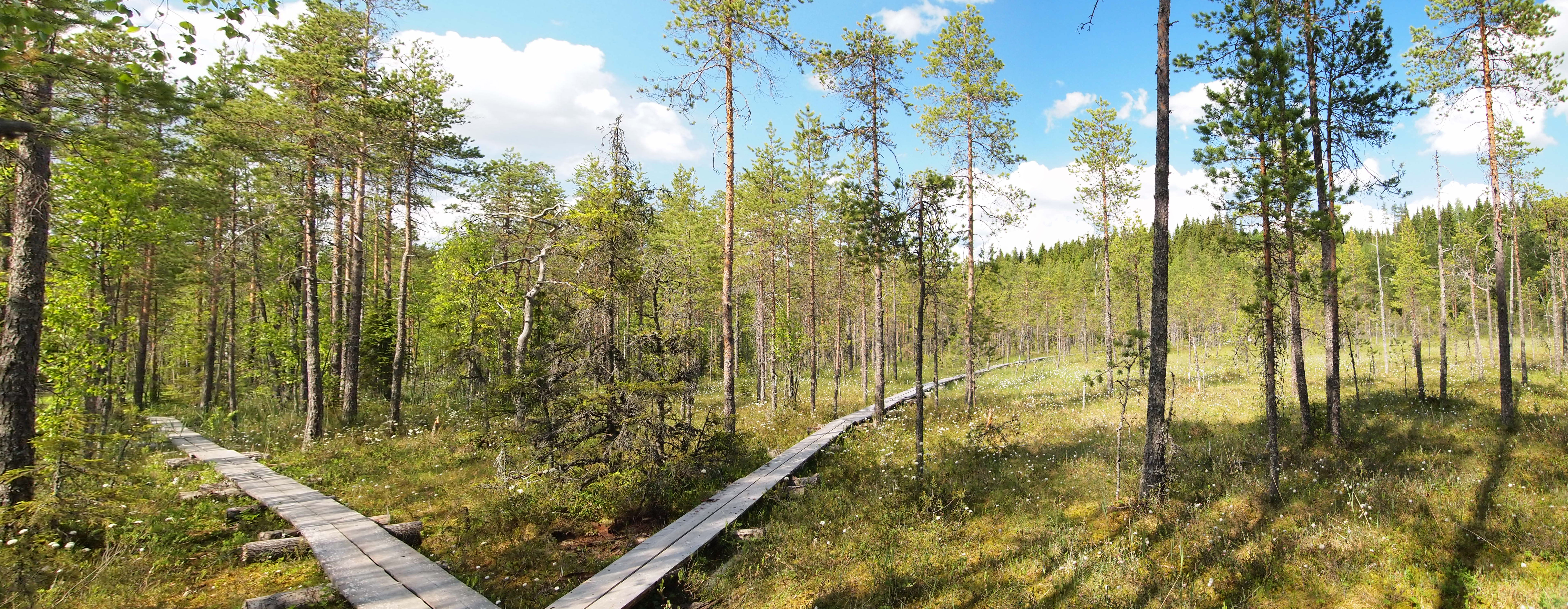
Hösseringen is a village in the Samtgemeinde Suderburg, collective municipality of Suderburg and lies southwest of Uelzen in the German state of Lower Saxony. Geography Hösseringen lies between Hamburg and Hanover in the middle of the Lüneburg Heath. The village is dominated by the landscape of the High Heath (''Hohe Heide'') and extensive forests that surround it and that stretch as far as Eschede to the southwest. Geology Terminal moraines from the penultimate ice age run through the parish forming several hillocks and low ridges. The Hardau stream rises about 2 km southeast of the village centre, running through the Hardau valley between Holxen and Holdenstedt before emptying into the Gerdau. History The village was first recorded in 1247. Culture and sights Tourism Aside from agriculture, tourism is an important source of income for the village. The village is known nationally for the Hösseringen Museum Village which covers an area of about 10 ha. ... [...More Info...] [...Related Items...] OR: [Wikipedia] [Google] [Baidu] |
Hösseringen Museum Village
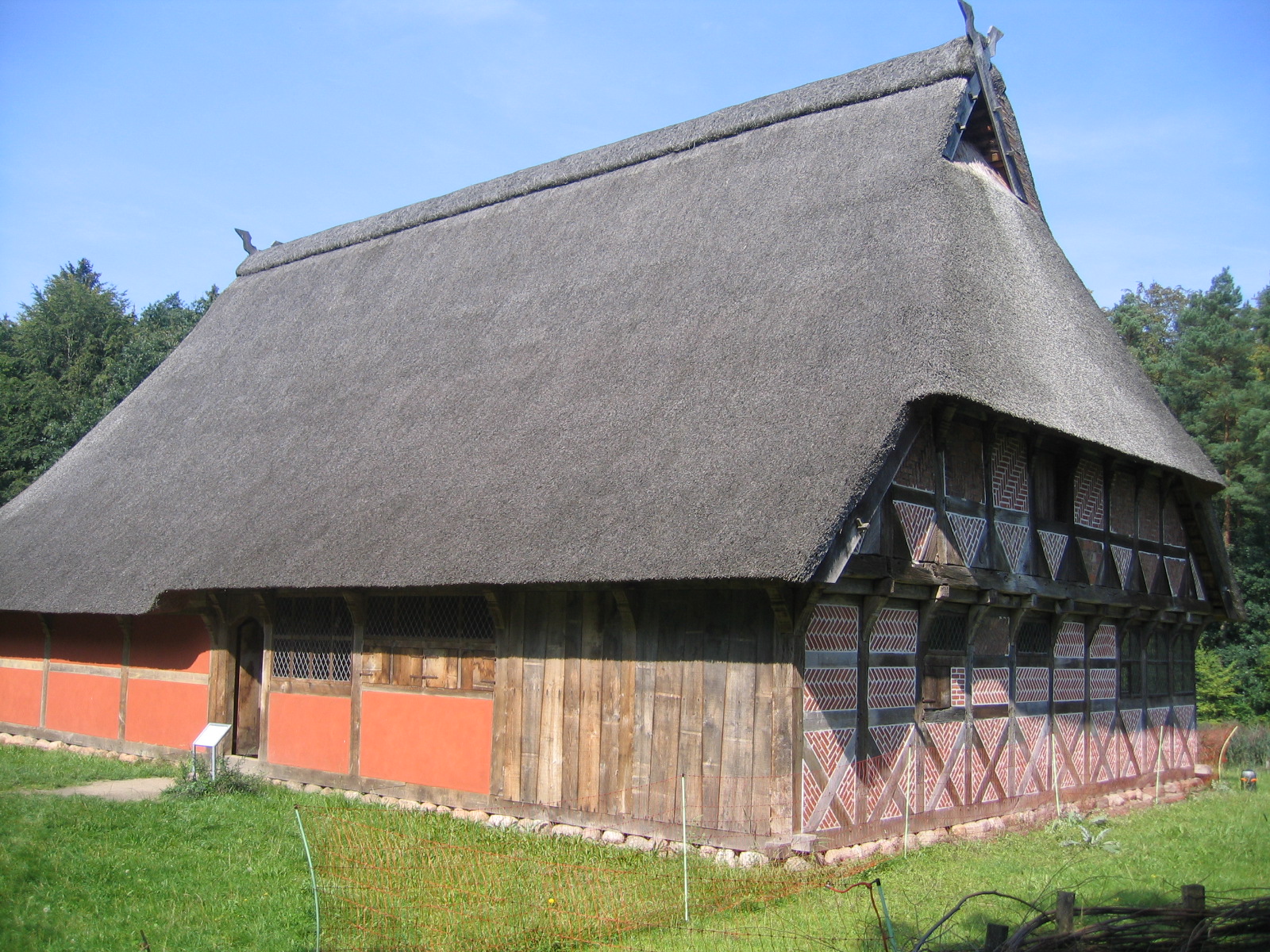
The Hösseringen Museum Village (German: ''Museumsdorf Hösseringen'') is located at Hösseringen in the German state of Lower Saxony. Covering an area of , it displays important examples of the North Germany, Lower German, timber-framed, hall house, open-hall house, the so-called Low German house or ''Fachhallenhaus''. These buildings are all faithful reconstructions, the majority stemming from Uelzen district, that have been dismantled, moved and rebuilt on the site. To date, 26 buildings from the 16th to 19th centuries have been reconstructed. The centrepiece of the museum village is the Brümmerhof hall house (''Hallenhaus''), a single-building farmhouse (''Einzelhof'') from the early 17th century. Permanent exhibitions give insights into the working methods and implements used for beekeeping, sheep farming, Spinning (textiles), spinning, weaving, forging, and many other rural activities. In addition to the exhibitions, great emphasis is placed on demonstrating the sequence o ... [...More Info...] [...Related Items...] OR: [Wikipedia] [Google] [Baidu] |
Samtgemeinde Suderburg
Suderburg is a ''Samtgemeinde'' ("collective municipality") in the district of Uelzen, in Lower Saxony, Germany Germany,, officially the Federal Republic of Germany, is a country in Central Europe. It is the second most populous country in Europe after Russia, and the most populous member state of the European Union. Germany is situated betwe .... Its seat is in the village Suderburg. Samtgemeinde divisions The ''Samtgemeinde'' of Suderburg consists of 3 parishes with the following villages Samtgemeinden in Lower Saxony Uelzen (district) {{Uelzen-geo-stub ... [...More Info...] [...Related Items...] OR: [Wikipedia] [Google] [Baidu] |
Lower Saxon Mill Road
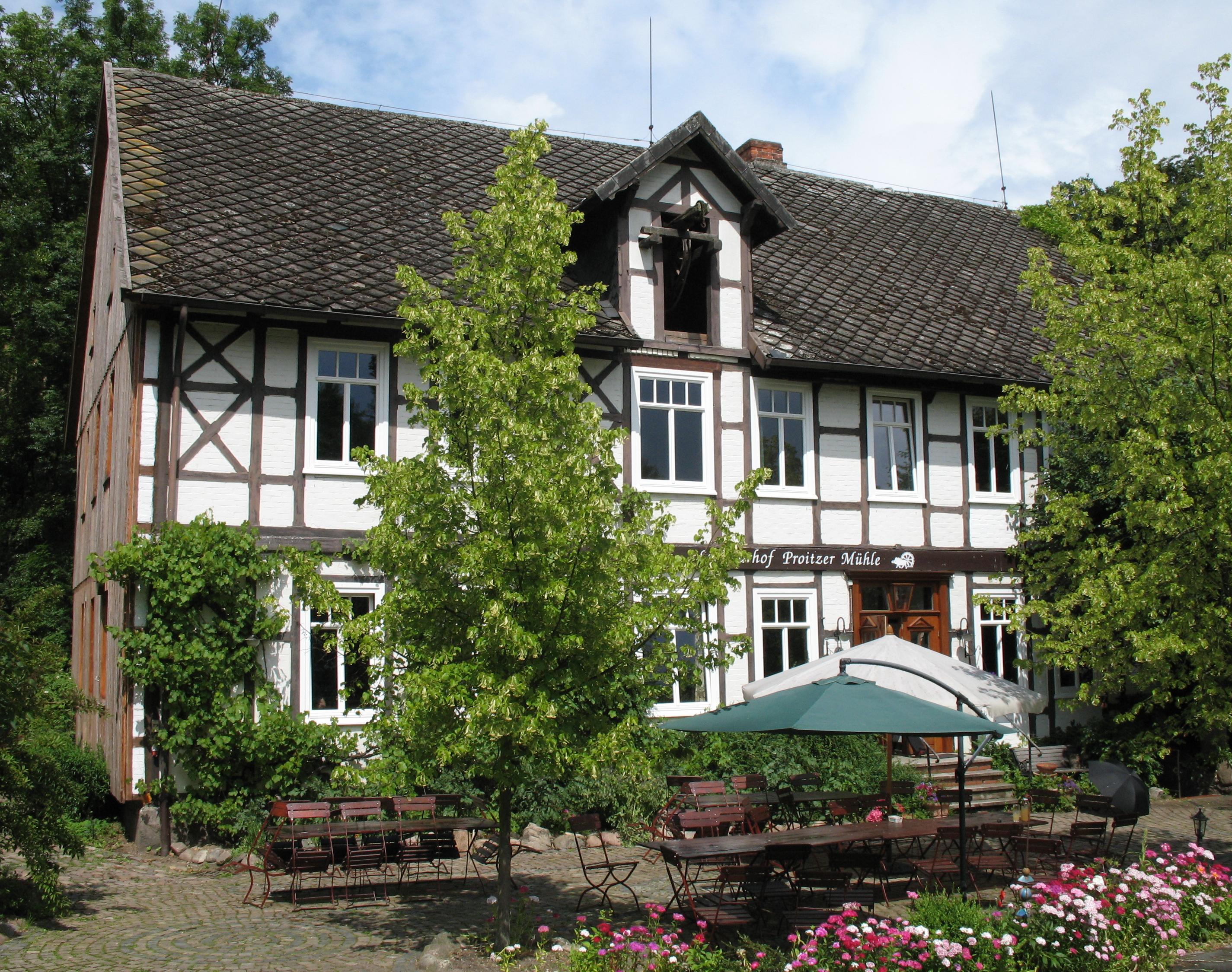
The Lower Saxon Mill Road (german: Niedersächsische Mühlenstrasse) is a holiday route that guides visitors to watermills and windmills in the north German state of Lower Saxony and thus links the interests of historic monument conservation with those of the tourist industry. Emblem The mills of the Lower Saxon Mill Road are marked with the emblem (a sketch of the Hüven Mill in the Emsland) of the Lower Saxony and Bremen Mill Association (''Mühlenvereinigung Niedersachsen-Bremen'') and are furnished with an information board that describes both the history and the features of the individual mill. Range The mills on the Lower Saxon Mill Road are of various types: Most of them are watermills and windmills. Some have been converted into homes, others are used as museums or are still in service. Several of the mills can only be viewed externally. In the International Wind- and Watermill Museum at Gifhorn a ship mill may also be visited. There are horse mills in the Cloppenburg an ... [...More Info...] [...Related Items...] OR: [Wikipedia] [Google] [Baidu] |
Hamburg
(male), (female) en, Hamburger(s), Hamburgian(s) , timezone1 = Central (CET) , utc_offset1 = +1 , timezone1_DST = Central (CEST) , utc_offset1_DST = +2 , postal_code_type = Postal code(s) , postal_code = 20001–21149, 22001–22769 , area_code_type = Area code(s) , area_code = 040 , registration_plate = , blank_name_sec1 = GRP (nominal) , blank_info_sec1 = €123 billion (2019) , blank1_name_sec1 = GRP per capita , blank1_info_sec1 = €67,000 (2019) , blank1_name_sec2 = HDI (2018) , blank1_info_sec2 = 0.976 · 1st of 16 , iso_code = DE-HH , blank_name_sec2 = NUTS Region , blank_info_sec2 = DE6 , website = , footnotes ... [...More Info...] [...Related Items...] OR: [Wikipedia] [Google] [Baidu] |
Lower Saxony
Lower Saxony (german: Niedersachsen ; nds, Neddersassen; stq, Läichsaksen) is a German state (') in northwestern Germany. It is the second-largest state by land area, with , and fourth-largest in population (8 million in 2021) among the 16 ' federated as the Federal Republic of Germany. In rural areas, Northern Low Saxon and Saterland Frisian are still spoken, albeit in declining numbers. Lower Saxony borders on (from north and clockwise) the North Sea, the states of Schleswig-Holstein, Hamburg, , Brandenburg, Saxony-Anhalt, Thuringia, Hesse and North Rhine-Westphalia, and the Netherlands. Furthermore, the state of Bremen forms two enclaves within Lower Saxony, one being the city of Bremen, the other its seaport, Bremerhaven (which is a semi-enclave, as it has a coastline). Lower Saxony thus borders more neighbours than any other single '. The state's largest cities are state capital Hanover, Braunschweig (Brunswick), Lüneburg, Osnabrück, Oldenburg, Hildesheim, Salzgitt ... [...More Info...] [...Related Items...] OR: [Wikipedia] [Google] [Baidu] |
Watermill
A watermill or water mill is a mill that uses hydropower. It is a structure that uses a water wheel or water turbine to drive a mechanical process such as milling (grinding), rolling, or hammering. Such processes are needed in the production of many material goods, including flour, lumber, paper, textiles, and many metal products. These watermills may comprise gristmills, sawmills, paper mills, textile mills, hammermills, trip hammering mills, rolling mills, wire drawing mills. One major way to classify watermills is by wheel orientation (vertical or horizontal), one powered by a vertical waterwheel through a gear mechanism, and the other equipped with a horizontal waterwheel without such a mechanism. The former type can be further divided, depending on where the water hits the wheel paddles, into undershot, overshot, breastshot and pitchback (backshot or reverse shot) waterwheel mills. Another way to classify water mills is by an essential trait about their location: tide mills ... [...More Info...] [...Related Items...] OR: [Wikipedia] [Google] [Baidu] |
Glacial Erratic
A glacial erratic is glacially deposited rock differing from the type of rock native to the area in which it rests. Erratics, which take their name from the Latin word ' ("to wander"), are carried by glacial ice, often over distances of hundreds of kilometres. Erratics can range in size from pebbles to large boulders such as Big Rock () in Alberta. Geologists identify erratics by studying the rocks surrounding the position of the erratic and the composition of the erratic itself. Erratics are significant because: *They can be transported by glaciers, and they are thereby one of a series of indicators which mark the path of prehistoric glacier movement. Their lithographic origin can be traced to the parent bedrock, allowing for confirmation of the ice flow route. *They can be transported by ice rafting. This allows quantification of the extent of glacial flooding resulting from ice dam failure which release the waters stored in proglacial lakes such as Lake Missoula. Erratics ... [...More Info...] [...Related Items...] OR: [Wikipedia] [Google] [Baidu] |
Landtag (historic)
A Landtag (State Diet) is generally the legislative assembly or parliament of a federated state or other subnational self-governing entity in German-speaking nations. It is usually a unicameral assembly exercising legislative competence in non-federal matters. The States of Germany and Austria are governed by ''landtage''. In addition, the legislature of the Italian autonomous province of South Tyrol is known in German as a ''landtag''. Historically, states of the German Confederation also established ''landtage''. The Landtag of Liechtenstein is the small nation's unicameral assembly. Name The German word Landtag is composed of the words ''Land'' (state, country or territory) and ''Tag'' (day). The German word ''Tagung'' (meeting) is derived from the German word ''Tag'', as such meetings were held at daylight and sometimes spanned several days. Historic Landtag assemblies States of the Holy Roman Empire In feudal society, the formal class system was reflected in the ... [...More Info...] [...Related Items...] OR: [Wikipedia] [Google] [Baidu] |
Middle Ages
In the history of Europe, the Middle Ages or medieval period lasted approximately from the late 5th to the late 15th centuries, similar to the post-classical period of global history. It began with the fall of the Western Roman Empire and transitioned into the Renaissance and the Age of Discovery. The Middle Ages is the middle period of the three traditional divisions of Western history: classical antiquity, the medieval period, and the modern period. The medieval period is itself subdivided into the Early, High, and Late Middle Ages. Population decline, counterurbanisation, the collapse of centralized authority, invasions, and mass migrations of tribes, which had begun in late antiquity, continued into the Early Middle Ages. The large-scale movements of the Migration Period, including various Germanic peoples, formed new kingdoms in what remained of the Western Roman Empire. In the 7th century, North Africa and the Middle East—most recently part of the Eastern Ro ... [...More Info...] [...Related Items...] OR: [Wikipedia] [Google] [Baidu] |
Educational Trail
An educational trail (or sometimes educational path), nature trail or nature walk is a specially developed hiking trail or footpath that runs through the countryside, along which there are marked stations or stops next to points of natural, technological or cultural interest. These may convey information about, for example, flora and fauna, soil science, geology, mining, ecology or cultural history. Longer trails, that link more widely spaced natural phenomena or structures together, may be referred to as themed trails or paths. In order to give a clearer explanation of the objects located at each station, display boards or other exhibits are usually erected, in keeping with the purpose of the trail. These may include: information boards, photographs and pictures, maps or plans, display cases and models, slides, sound or multimedia devices, facilities to enable experimentation and so on. The routes are regularly maintained. Educational trails with a strong thematic content may a ... [...More Info...] [...Related Items...] OR: [Wikipedia] [Google] [Baidu] |


