|
Hutton Mountains
The Hutton Mountains are a group of mountains in southeastern Palmer Land, Antarctica, bounded on the southwest by Johnston Glacier, on the northwest by Squires Glacier, on the north by Swann Glacier, and on the east by Keller Inlet. The mountains were observed and photographed from the air by the Ronne Antarctic Research Expedition, 1947–48, they were mapped by the United States Geological Survey from surveys and U.S. Navy The United States Navy (USN) is the maritime service branch of the United States Armed Forces and one of the eight uniformed services of the United States. It is the largest and most powerful navy in the world, with the estimated tonnage o ... air photos, 1961–67, and were named by the Advisory Committee on Antarctic Names after James Hutton, a Scottish geologist. References Mountain ranges of Palmer Land {{PalmerLand-geo-stub ... [...More Info...] [...Related Items...] OR: [Wikipedia] [Google] [Baidu] |
Palmer Land
Palmer Land () is the portion of the Antarctic Peninsula, Antarctica that lies south of a line joining Cape Jeremy and Cape Agassiz. This application of Palmer Land is consistent with the 1964 agreement between the Advisory Committee on Antarctic Names and the UK Antarctic Place-Names Committee, in which the name Antarctic Peninsula was approved for the major peninsula of Antarctica, and the names Graham Land and Palmer Land for the northern and southern portions, respectively. The line dividing them is roughly 69° S. Boundaries In its southern extreme, the Antarctic Peninsula stretches west, with Palmer Land eventually bordering Ellsworth Land along the 80° W line of longitude. Palmer Land is bounded in the south by the ice-covered Carlson Inlet, an arm of the Filchner-Ronne Ice Shelf, which crosses the 80° W line. This is the base of Cetus Hill. This feature is named after Nathaniel Palmer, an American sealer who explored the Antarctic Peninsula area southward of Deceptio ... [...More Info...] [...Related Items...] OR: [Wikipedia] [Google] [Baidu] |
Johnston Glacier
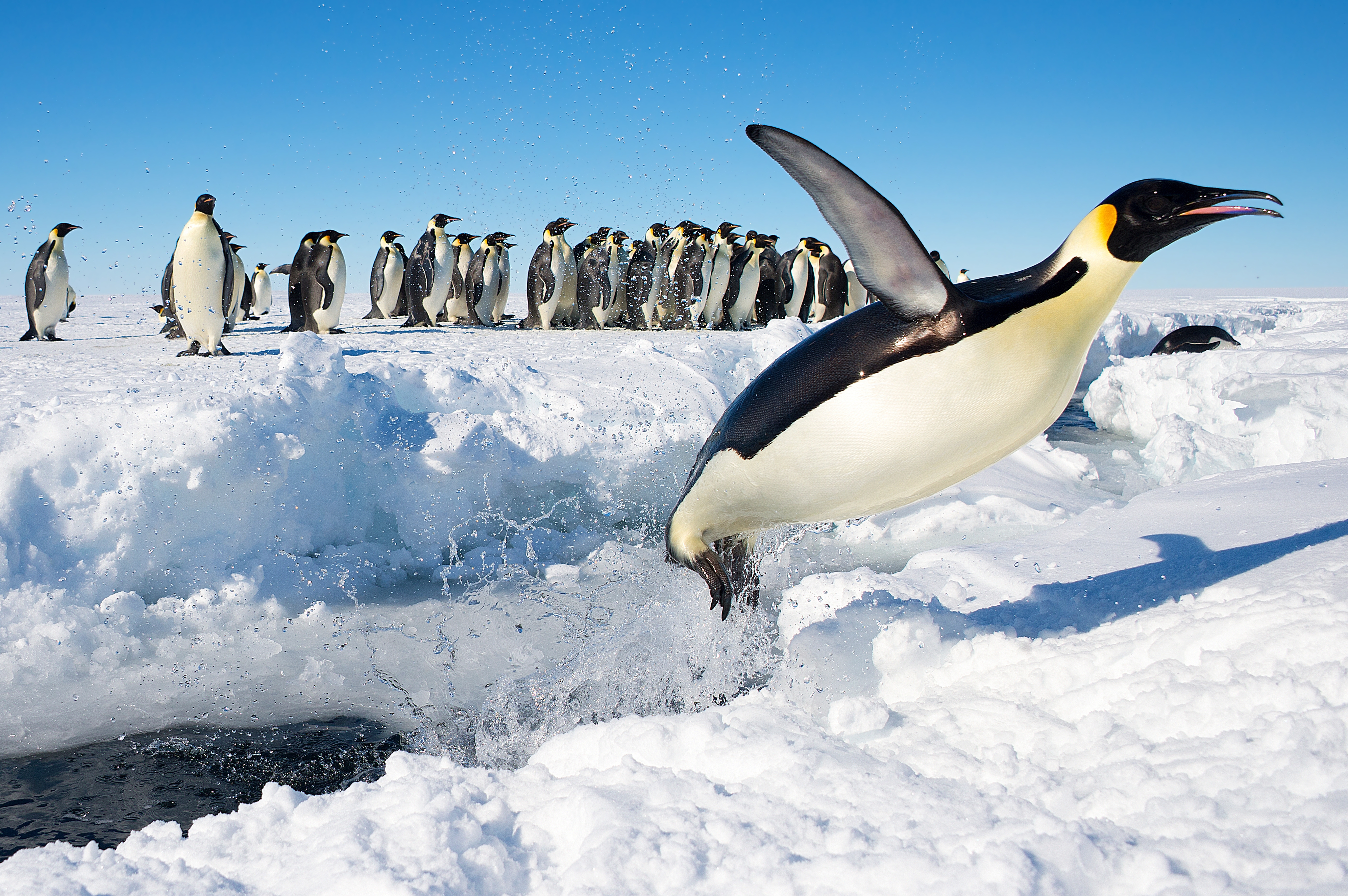
The Smith Peninsula is an ice-covered, "dog-legged" peninsula long and wide, extending in an easterly direction between Keller and Nantucket Inlets from the east coast of Palmer Land, Antarctica, into the south-western Weddell Sea. Discovery and naming The peninsula was photographed from the air in December 1940 by members of the United States Antarctic Service Expedition (USAS), and in 1947 by members of the Ronne Antarctic Research Expedition (RARE) under Finn Ronne, who in conjunction with the Falkland Islands Dependencies Survey (FIDS) charted it from the ground. It was named by Ronne for Walter Smith, ship's mate, navigator, and trail man with Ronne's expedition. Important Bird Area A 292 ha site on fast ice in the northern part of Clarke Bay has been designated an Important Bird Area (IBA) by BirdLife International because it supports a breeding colony of about 4,000 emperor penguin The emperor penguin (''Aptenodytes forsteri'') is the tallest and heaviest of ... [...More Info...] [...Related Items...] OR: [Wikipedia] [Google] [Baidu] |
Squires Glacier
Wright Inlet () is an ice-filled inlet receding westward between Cape Little and Cape Wheeler along the east coast of Palmer Land. The inlet was photographed from the air in 1940 by the United States Antarctic Service (USAS) and in 1947 by the Ronne Antarctic Research Expedition (RARE) under Ronne. Named by Ronne for John K. Wright, Director of the American Geographical Society, which lent its auspices to Ronne's expedition. See also *Piggott Peninsula Piggott Peninsula is a broad snow-covered peninsula between New Bedford Inlet and Wright Inlet on Lassiter Coast, Palmer Land, bounded to the west by Bryan Glacier and Swann Glacier. The feature was first seen from the air and photographed by ... References Inlets of Palmer Land {{PalmerLand-geo-stub ... [...More Info...] [...Related Items...] OR: [Wikipedia] [Google] [Baidu] |
Swann Glacier
Swann Glacier () is a broad glacier of undetermined length flowing east into Wright Inlet to the north of Mount Tricorn, on the east coast of Palmer Land. The glacier was discovered and photographed from the air in December 1940 by members of East Base of the United States Antarctic Service (USAS). During 1947 it was photographed from the air by members of the Ronne Antarctic Research Expedition (RARE), under Ronne, who in conjunction with the Falkland Islands Dependencies Survey (FIDS) charted it from the ground. Named by Ronne for Physicist W.F.G. Swann, Director of the Bartol Research Foundation of Franklin Institute The Franklin Institute is a science museum and the center of science education and research in Philadelphia, Pennsylvania. It is named after the American scientist and statesman Benjamin Franklin. It houses the Benjamin Franklin National Memori ... at Swarthmore, PA, a contributor to the expedition. Glaciers of Palmer Land {{PalmerLand-geo-stub ... [...More Info...] [...Related Items...] OR: [Wikipedia] [Google] [Baidu] |
Keller Inlet
Keller Inlet () is an ice-filled inlet long, in a northeast–southwest direction, and wide, between Cape Little and Cape Fiske, along the east coast of Palmer Land, Antarctica. This inlet was photographed from the air by members of the United States Antarctic Service in December 1940, and in 1947 by members of the Ronne Antarctic Research Expedition under Finn Ronne, who in conjunction with the Falkland Islands Dependencies Survey charted it from the ground. It was amed by Ronne for Louis Keller of Beaumont, Texas Beaumont is a coastal city in the U.S. state of Texas. It is the county seat, seat of government of Jefferson County, Texas, Jefferson County, within the Beaumont–Port Arthur, Texas, Port Arthur Beaumont–Port Arthur metropolitan area, metropo ..., who contributed supplies to Ronne's expedition. References Inlets of Palmer Land {{PalmerLand-geo-stub ... [...More Info...] [...Related Items...] OR: [Wikipedia] [Google] [Baidu] |
Ronne Antarctic Research Expedition
The Ronne Antarctic Research Expedition (RARE) was an expedition from 1947–1948 which researched the area surrounding the head of the Weddell Sea in Antarctica. Background Finn Ronne led the RARE which was the final privately sponsored expedition from the United States and explored and mapped the last unknown coastline on earth and determined that the Weddell Sea and the Ross Sea were not connected. The expedition included Isaac Schlossbach, as second in command, who was to have Cape Schlossbach named after him. The expedition, based out of Stonington Island was the first to take women to over-winter. Ronne's wife, Edith Ronne was correspondent for the North American Newspaper Alliance for expedition and the chief pilot Darlington took his wife. Partial Listing of Discoveries * Mount Abrams - Named for Talbert Abrams, noted photogrammetric engineer * Mount Becker - Named for Ralph A. Becker, legal counsel who assisted in the formation of RARE * Mount Brundage - Named ... [...More Info...] [...Related Items...] OR: [Wikipedia] [Google] [Baidu] |
United States Geological Survey
The United States Geological Survey (USGS), formerly simply known as the Geological Survey, is a scientific agency of the United States government. The scientists of the USGS study the landscape of the United States, its natural resources, and the natural hazards that threaten it. The organization's work spans the disciplines of biology, geography, geology, and hydrology. The USGS is a fact-finding research organization with no regulatory responsibility. The agency was founded on March 3, 1879. The USGS is a bureau of the United States Department of the Interior; it is that department's sole scientific agency. The USGS employs approximately 8,670 people and is headquartered in Reston, Virginia. The USGS also has major offices near Lakewood, Colorado, at the Denver Federal Center, and Menlo Park, California. The current motto of the USGS, in use since August 1997, is "science for a changing world". The agency's previous slogan, adopted on the occasion of its hundredt ... [...More Info...] [...Related Items...] OR: [Wikipedia] [Google] [Baidu] |
Advisory Committee On Antarctic Names
The Advisory Committee on Antarctic Names (ACAN or US-ACAN) is an advisory committee of the United States Board on Geographic Names responsible for recommending commemorative names for features in Antarctica. History The committee was established in 1943 as the Special Committee on Antarctic Names (SCAN). It became the Advisory Committee on Antarctic Names in 1947. Fred G. Alberts was Secretary of the Committee from 1949 to 1980. By 1959, a structured nomenclature was reached, allowing for further exploration, structured mapping of the region and a unique naming system. A 1990 ACAN gazeeter of Antarctica listed 16,000 names. Description The United States does not recognise territorial boundaries within Antarctica, so ACAN assigns names to features anywhere within the continent, in consultation with other national nomenclature bodies where appropriate, as defined by the Antarctic Treaty System. The research and staff support for the ACAN is provided by the United States Geologi ... [...More Info...] [...Related Items...] OR: [Wikipedia] [Google] [Baidu] |
James Hutton
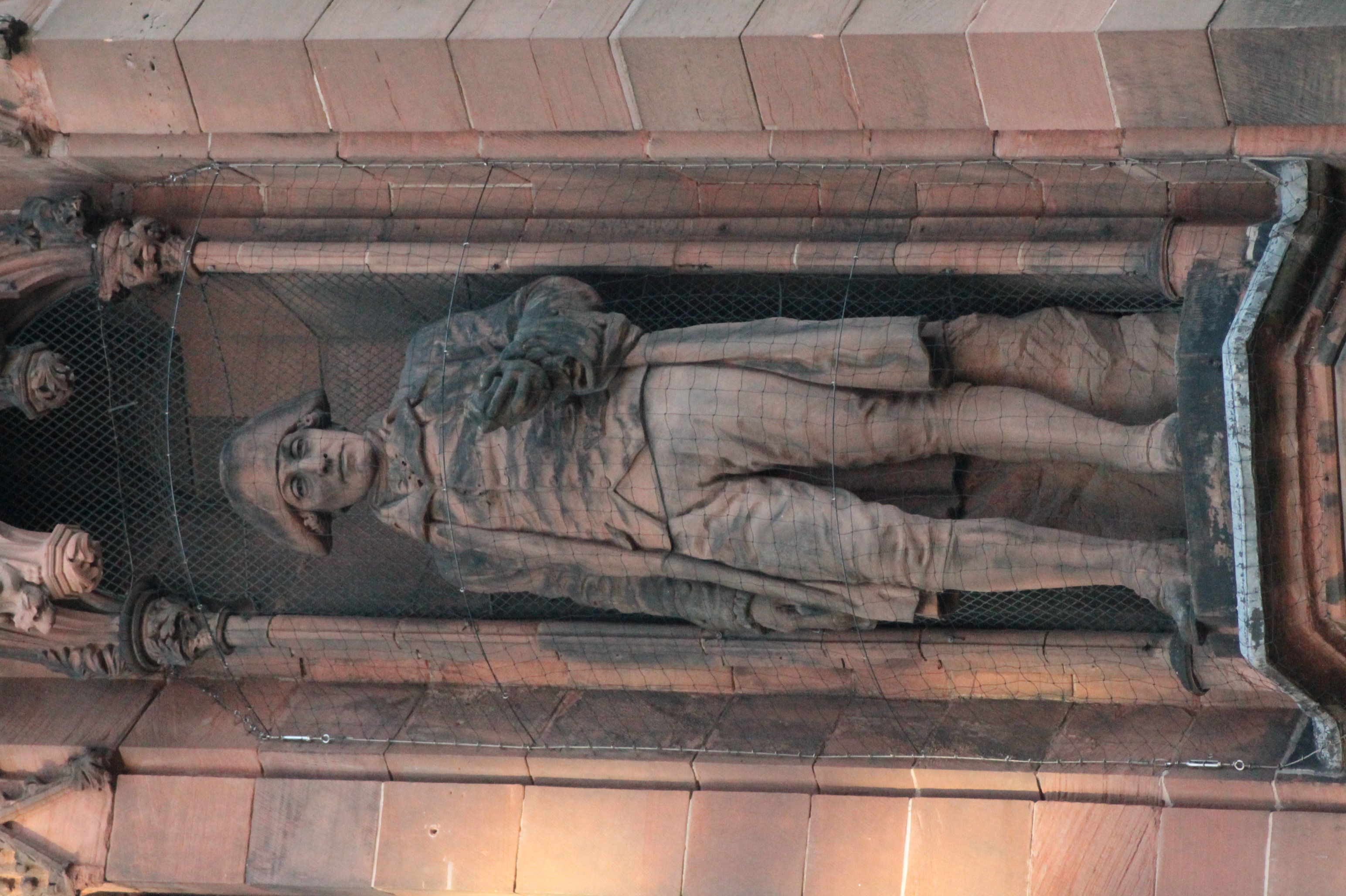
James Hutton (; 3 June O.S.172614 June 1726 New Style. – 26 March 1797) was a Scottish geologist, agriculturalist, chemical manufacturer, naturalist and physician. Often referred to as the father of modern geology, he played a key role in establishing geology as a modern science. Hutton advanced the idea that the physical world's remote history can be inferred from evidence in present-day rocks. Through his study of features in the landscape and coastlines of his native Scottish lowlands, such as Salisbury Crags or Siccar Point, he developed the theory that geological features could not be static but underwent continuing transformation over indefinitely long periods of time. From this he argued, in agreement with many other early geologists, that the Earth could not be young. He was one of the earliest proponents of what in the 1830s became known as uniformitarianism, the science which explains features of the Earth's crust as the outcome of continuing natural processes ... [...More Info...] [...Related Items...] OR: [Wikipedia] [Google] [Baidu] |


