|
Huscote, Banbury
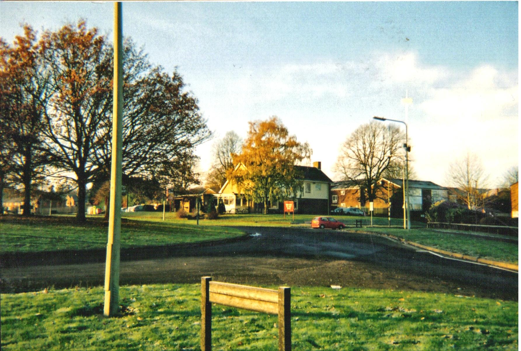
Huscote was a tiny hamlet on the edge of north Oxfordshire, a rural area bordering with West Northamptonshire. The hamlet sits East of J11 of the M40. Predominantly agricultural land used for grazing. Census returns from the 1800s show houses at Huscote, but today only Huscote Farm remains There are 42 tree preservation orders on Huscote Farm today See also *History of Banbury *Banbury Cheese *Nethercote, Banbury Nethercote is a hamlet on the edge of north Oxfordshire, a semi-rural area bordering with West Northamptonshire. The hamlet sits South East of J11 of M40, lying South of the A422 and East of the M40. Predominantly agricultural land used for gr ... References {{reflist Hamlets in Oxfordshire Banbury ... [...More Info...] [...Related Items...] OR: [Wikipedia] [Google] [Baidu] |
Banbury
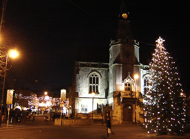
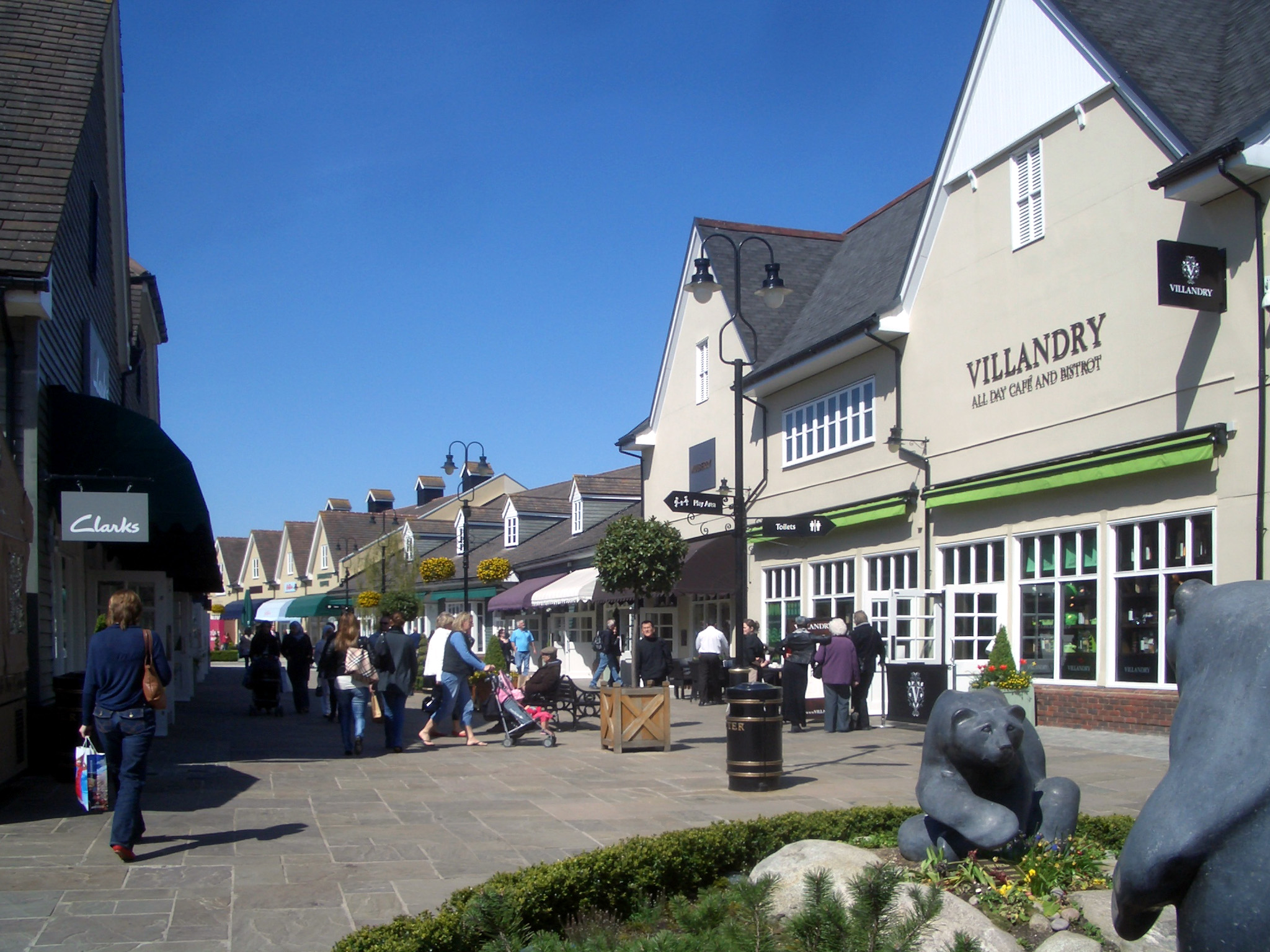
Banbury is a historic market town on the River Cherwell in Oxfordshire, South East England. It had a population of 54,335 at the 2021 Census. Banbury is a significant commercial and retail centre for the surrounding area of north Oxfordshire and southern parts of Warwickshire and Northamptonshire which are predominantly rural. Banbury's main industries are motorsport, car components, electrical goods, plastics, food processing and printing. Banbury is home to the world's largest coffee-processing facility (Jacobs Douwe Egberts), built in 1964. The town is famed for Banbury cakes, a spiced sweet pastry dish. Banbury is located north-west of London, south-east of Birmingham, south-east of Coventry and north-west of Oxford. History Toponymy The name Banbury may derive from "Banna", a Saxon chieftain said to have built a stockade there in the 6th century (or possibly a byname from ang, bana meaning ''felon'', ''murderer''), and / meaning ''settlement''. In Anglo Saxon i ... [...More Info...] [...Related Items...] OR: [Wikipedia] [Google] [Baidu] |
Cherwell District
Cherwell ( ) is a local government district in northern Oxfordshire, England. The district takes its name from the River Cherwell, which drains south through the region to flow into the River Thames at Oxford. Towns in Cherwell include Banbury and Bicester. Kidlington is a contender for largest village in England. The district was formed on 1 April 1974, under the Local Government Act 1972, by a merger of the municipal borough of Banbury, Bicester urban district, Banbury Rural District and Ploughley Rural District. Geography The Northern half of the Cherwell district consists mainly of soft rolling hills going down towards the River Cherwell, but the southern half of the district around Bicester is much flatter. Much of the district is soft rolling hills with the northwest of the district lying at the northern extremity of the Cotswolds. Transport Much of the district is within easy reach of the M40, with junctions 9, 10 and 11 in the district. It also has good rail link ... [...More Info...] [...Related Items...] OR: [Wikipedia] [Google] [Baidu] |
Oxfordshire
Oxfordshire is a ceremonial and non-metropolitan county in the north west of South East England. It is a mainly rural county, with its largest settlement being the city of Oxford. The county is a centre of research and development, primarily due to the work of the University of Oxford and several notable science parks. These include the Harwell Science and Innovation Campus and Milton Park, both situated around the towns of Didcot and Abingdon-on-Thames. It is a landlocked county, bordered by six counties: Berkshire to the south, Buckinghamshire to the east, Wiltshire to the south west, Gloucestershire to the west, Warwickshire to the north west, and Northamptonshire to the north east. Oxfordshire is locally governed by Oxfordshire County Council, together with local councils of its five non-metropolitan districts: City of Oxford, Cherwell, South Oxfordshire, Vale of White Horse, and West Oxfordshire. Present-day Oxfordshire spanning the area south of the Thames was h ... [...More Info...] [...Related Items...] OR: [Wikipedia] [Google] [Baidu] |
Banbury (UK Parliament Constituency)
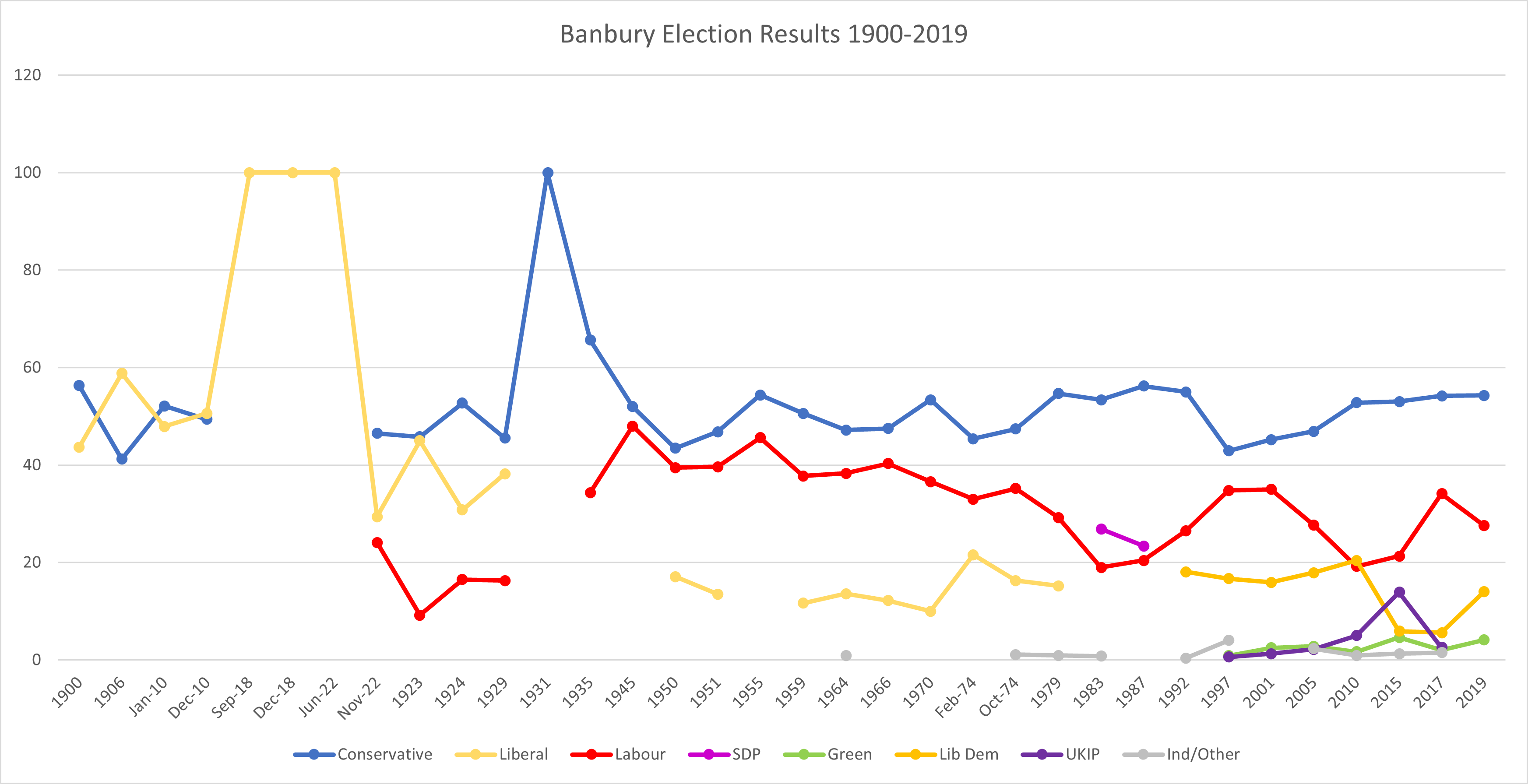
Banbury, also informally known as Banbury and North Oxfordshire, is a constituency in Oxfordshire created in 1553 and represented in the House of Commons of the UK Parliament since 2015 by Victoria Prentis of the Conservative Party. She currently serves as Attorney General for England and Wales. In terms of electorate, Banbury was the 16th largest constituency in the United Kingdom at the time of the 2015 general election. Constituency profile The constituency has relatively high economic dependence on agriculture, as well as modern industry (particularly motorsport), research and development, public services and, to a lesser extent, defence. It contains two large market towns, Banbury and Bicester, where the majority of the electorate live. It is a partly rural seat, with the northwest of the constituency on the edge of the Cotswolds. The area has experienced significant urban growth and is popular with commuters who favour its fast transport links to Birmingham, Oxford a ... [...More Info...] [...Related Items...] OR: [Wikipedia] [Google] [Baidu] |
Hamlet (place)
A hamlet is a human settlement that is smaller than a town or village. Its size relative to a Parish (administrative division), parish can depend on the administration and region. A hamlet may be considered to be a smaller settlement or subdivision or satellite entity to a larger settlement. The word and concept of a hamlet has roots in the Anglo-Norman settlement of England, where the old French ' came to apply to small human settlements. Etymology The word comes from Anglo-Norman language, Anglo-Norman ', corresponding to Old French ', the diminutive of Old French ' meaning a little village. This, in turn, is a diminutive of Old French ', possibly borrowed from (West Germanic languages, West Germanic) Franconian languages. Compare with modern French ', Dutch language, Dutch ', Frisian languages, Frisian ', German ', Old English ' and Modern English ''home''. By country Afghanistan In Afghanistan, the counterpart of the hamlet is the Qila, qala (Dari language, Dari: ... [...More Info...] [...Related Items...] OR: [Wikipedia] [Google] [Baidu] |
West Northamptonshire
West Northamptonshire is a unitary authority area covering part of the ceremonial county of Northamptonshire, England, created in 2021. By far the largest settlement in West Northamptonshire is the county town of Northampton. Its other significant towns are Daventry, Brackley and Towcester; the rest of the area is predominantly agricultural villages though it has many lakes and small woodlands and is passed through by the West Coast Main Line and the M1 and M40 motorways, thus hosting a relatively high number of hospitality attractions as well as distribution centres as these are key English transport routes. Close to these is the leisure-use Grand Union Canal. The district has remains of a Roman town Bannaventa, with relics and finds in the main town museums, and its most notable landscape and the mansion is Althorp. History West Northamptonshire was formed on 1 April 2021 through the merger of the three non-metropolitan districts of Daventry, Northampton, and South North ... [...More Info...] [...Related Items...] OR: [Wikipedia] [Google] [Baidu] |
M40 Motorway
The M40 motorway links London, Oxford and Birmingham in England, a distance of approximately . The motorway is dual three lanes except for junction 1A to junction 3 (which is dual four lanes) a short section in-between the exit and entry slip-roads at junction 4 (which is two lanes in both directions) and also between the slip-roads at junction 9 (in the southbound direction only). An Active Traffic Management system operates on the short section northbound from junction 16 ( A3400) to the M42. History London to Great Milton The motorway between London and Oxford was constructed in stages between 1967 and 1974. The first section opened in June 1967, from Handy Cross roundabout, High Wycombe to Stokenchurch (junctions 4–5). In 1969, extending in a southerly direction to Holtspur, Beaconsfield, a temporary junction 2 was opened,. The section bypassing Beaconsfield was built in 1971 and the section past Gerrards Cross to junction 1 was completed in 1973. In 1974, the motor ... [...More Info...] [...Related Items...] OR: [Wikipedia] [Google] [Baidu] |
A Vision Of Britain Through Time
The Great Britain Historical GIS (or GBHGIS) is a spatially enabled database that documents and visualises the changing human geography of the British Isles, although is primarily focussed on the subdivisions of the United Kingdom mainly over the 200 years since the first census in 1801. The project is currently based at the University of Portsmouth, and is the provider of the website ''A Vision of Britain through Time''. NB: A "GIS" is a geographic information system, which combines map information with statistical data to produce a visual picture of the iterations or popularity of a particular set of statistics, overlaid on a map of the geographic area of interest. Original GB Historical GIS (1994–99) The first version of the GB Historical GIS was developed at Queen Mary, University of London between 1994 and 1999, although it was originally conceived simply as a mapping extension to the existing Labour Markets Database (LMDB). The system included digital boundaries for r ... [...More Info...] [...Related Items...] OR: [Wikipedia] [Google] [Baidu] |
Tree Preservation Order
A tree preservation order (TPO) is a part of town and country planning in the United Kingdom. A TPO is made by a local planning authority (usually a local council) to protect specific trees or a particular area, group or woodland from deliberate damage and destruction if those trees are important for the amenity of the area. In Scotland TPOs can also be used to protect trees of historic or cultural significance. TPOs make the felling, lopping, topping, uprooting or otherwise willful damaging of trees without the permission of the local planning authority a legal offence, although different TPOs have different degrees of protection. They can be made very quickly and in practice it is normal for a council to make an emergency TPO in less than a day in cases of immediate danger to trees. Legal basis TPOs were originally introduced in the Town and Country Planning Act 1947 and the Town and Country Planning (Scotland) Act 1947. Some TPOs therefore may be over 70 years old, and still ... [...More Info...] [...Related Items...] OR: [Wikipedia] [Google] [Baidu] |
History Of Banbury
Banbury is a circa 1,500-year-old market town and civil parish on the River Cherwell in the Cherwell District of Oxfordshire, England. It is northwest of London, southeast of Birmingham, south of Coventry and north northwest of the county town of Oxford. General history Origin of the toponym The toponym "Banbury" derives from "Banna", a Saxon chieftain said to have built a stockade there in the 6th century, and "burgh" meaning settlement. One Saxon spelling was ''Banesbyrig''. The name appears as ''Banesberie'' in the Domesday Book of 1086. Another known Medieval spelling was 'Banesebury' The derivation of the name of the Grimsbury, now part of Banbury, is of early Saxon type, and is the corruption of word for a defended enclosure (burh) belonging to a personage called 'Grim', thought to be a reference to a masked persona of the god Woden. Roman and Anglo-Saxon history Banbury stands at the junction of two ancient roads: Salt Way (used as a bridle path to the west ... [...More Info...] [...Related Items...] OR: [Wikipedia] [Google] [Baidu] |
Banbury Cheese
Banbury cheese was an English cheese produced in Banbury, Oxfordshire. Once one of the town's most prestigious exports, and nationally famous, the production of the cheese went into decline by the 18th century, and was eventually forgotten. The cheese is best known today through an insult in Shakespeare's ''Merry Wives of Windsor'' (1597). History Banbury cheeses first appear in the historical record in 1430, when fourteen were sent to John of Lancaster, 1st Duke of Bedford, among supplies for France. In 1586, William Camden spoke of the cheese as a source of fame for the town. The earliest printed cookbook to make reference to the cheese was Thomas Dawson's ''The Good Huswifes Handmaide for the Kitchin'' (1594), used in a recipe for the "tarte of Cheese". The cheese was renowned in its day. It was given as a gift to several significant figures, including Thomas Cromwell (1533 and 1538), Sir Joseph Williamson (1677), and Horace Walpole (1768). Barnaby Googe, in his 1614 ... [...More Info...] [...Related Items...] OR: [Wikipedia] [Google] [Baidu] |
Nethercote, Banbury
Nethercote is a hamlet on the edge of north Oxfordshire, a semi-rural area bordering with West Northamptonshire. The hamlet sits South East of J11 of M40, lying South of the A422 and East of the M40. Predominantly agricultural land used for grazing, a single-track road runs right through the hamlet, known as Banbury Lane, which has around a dozen residential properties along the lane. Banbury Lane is still often referred to as Blacklocks Hill and this refers to the history of the area and a time when this area saw a main route into Banbury, before the M40 and A422. In 1870-72 it had a population of 97. History The name Nethercote is thought to have derived from the proximity to Warkworth. The word Nethercote is derived from the Middle English words “nether(e)” meaning “lower” and “cot” meaning cottage. Until 1889, Nethercote, along with the nearby then hamlet of Grimsbury were considered to be part of Warkworth in Northamptonshire, although they were both part o ... [...More Info...] [...Related Items...] OR: [Wikipedia] [Google] [Baidu] |


