|
Highway M18 (Ukraine)
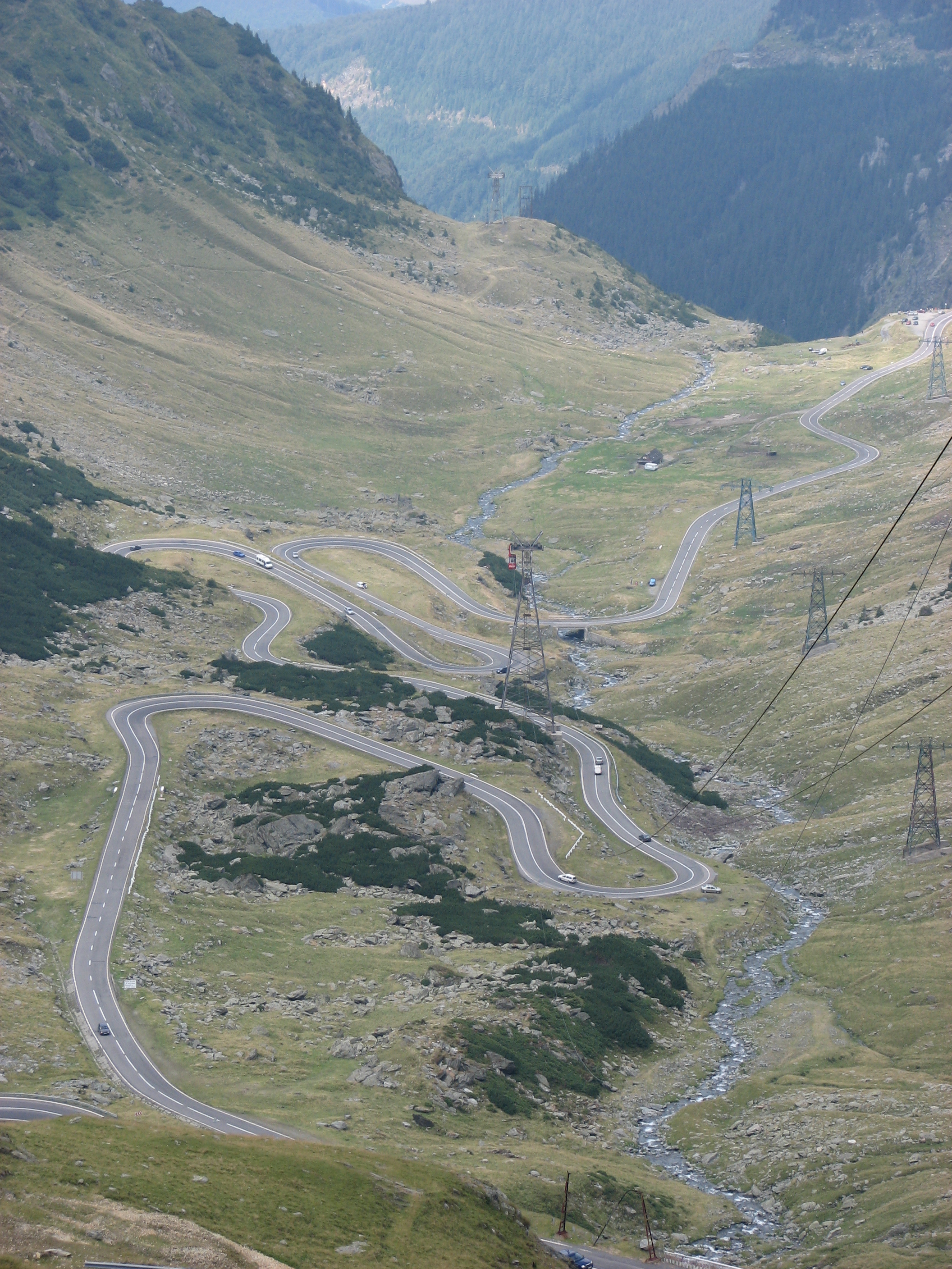
Highway M18 is a Ukrainian international highway ( M-highway) connecting Kharkiv to the southern coast of Crimea in Yalta. The highway is also has an alternative route ( M29) which runs parallel and designed as an expressway between Kharkiv and Novomoskovsk. The section from Novomoskovsk to Yalta is part of European route E105. The section from Kharkiv to Krasnohrad was previously P51. The section between Yalta and the border of Crimea belongs to Crimea which has been annexed by Russia in 2014. Russia refers to the section in Crimea as 35A-002. Main route Main route and connections to/intersections with other highways in Ukraine. See also * Roads in Ukraine * Ukraine Highways * International E-road network The international E-road network is a numbering system for roads in Europe developed by the United Nations Economic Commission for Europe (UNECE). The network is numbered from E1 up and its roads cross national borders. It also reaches Centr ... * Pan-Europea ... [...More Info...] [...Related Items...] OR: [Wikipedia] [Google] [Baidu] |
Kharkiv
Kharkiv ( uk, wikt:Харків, Ха́рків, ), also known as Kharkov (russian: Харькoв, ), is the second-largest List of cities in Ukraine, city and List of hromadas of Ukraine, municipality in Ukraine.Kharkiv "never had eastern-western conflicts" ''Euronews'' (23 October 2014) Located in the northeast of the country, it is the largest city of the historic Sloboda Ukraine, Slobozhanshchyna region. Kharkiv is the administrative centre of Kharkiv Oblast and of the surrounding Kharkiv Raion. The latest population is Kharkiv was founded in 1654 as Kharkiv fortress, and after these humble beginnings, it grew to be a major centre of industry, trade and Ukrainian culture in the Russian Empire. At the beginning of the 20th century, ... [...More Info...] [...Related Items...] OR: [Wikipedia] [Google] [Baidu] |
Roads In Kharkiv Oblast
A road is a linear way for the conveyance of traffic that mostly has an improved surface for use by vehicles (motorized and non-motorized) and pedestrians. Unlike streets, the main function of roads is transportation. There are many types of roads, including parkways, avenues, controlled-access highways (freeways, motorways, and expressways), tollways, interstates, highways, thoroughfares, and local roads. The primary features of roads include lanes, sidewalks (pavement), roadways (carriageways), medians, shoulders, verges, bike paths (cycle paths), and shared-use paths. Definitions Historically many roads were simply recognizable routes without any formal construction or some maintenance. The Organization for Economic Co-operation and Development (OECD) defines a road as "a line of communication (travelled way) using a stabilized base other than rails or air strips open to public traffic, primarily for the use of road motor vehicles running on their own wheels", which in ... [...More Info...] [...Related Items...] OR: [Wikipedia] [Google] [Baidu] |
Roads In Dnipropetrovsk Oblast
A road is a linear way for the conveyance of traffic that mostly has an improved surface for use by vehicles (motorized and non-motorized) and pedestrians. Unlike streets, the main function of roads is transportation. There are many types of roads, including parkways, avenues, controlled-access highways (freeways, motorways, and expressways), tollways, interstates, highways, thoroughfares, and local roads. The primary features of roads include lanes, sidewalks (pavement), roadways (carriageways), medians, shoulders, verges, bike paths (cycle paths), and shared-use paths. Definitions Historically many roads were simply recognizable routes without any formal construction or some maintenance. The Organization for Economic Co-operation and Development (OECD) defines a road as "a line of communication (travelled way) using a stabilized base other than rails or air strips open to public traffic, primarily for the use of road motor vehicles running on their own wheels", whi ... [...More Info...] [...Related Items...] OR: [Wikipedia] [Google] [Baidu] |
Transport In Yalta
Transport (in British English), or transportation (in American English), is the intentional movement of humans, animals, and goods from one location to another. Modes of transport include air, land (rail and road), water, cable, pipeline, and space. The field can be divided into infrastructure, vehicles, and operations. Transport enables human trade, which is essential for the development of civilizations. Transport infrastructure consists of both fixed installations, including roads, railways, airways, waterways, canals, and pipelines, and terminals such as airports, railway stations, bus stations, warehouses, trucking terminals, refueling depots (including fueling docks and fuel stations), and seaports. Terminals may be used both for interchange of passengers and cargo and for maintenance. Means of transport are any of the different kinds of transport facilities used to carry people or cargo. They may include vehicles, riding animals, and pack animals. Vehicles may inclu ... [...More Info...] [...Related Items...] OR: [Wikipedia] [Google] [Baidu] |
Roads In Dnipro
A road is a linear way for the conveyance of traffic that mostly has an road surface, improved surface for use by vehicles (motorized and non-motorized) and pedestrians. Unlike streets, the main function of roads is transportation. There are road hierarchy, many types of roads, including parkways, avenue (landscape), avenues, controlled-access highways (freeways, motorways, and expressways), tollways, interstates, highways, thoroughfares, and local roads. The primary features of roads include lanes, sidewalks (pavement), roadways (carriageways), median strip, medians, shoulder (road), shoulders, road verge, verges, bike paths (cycle paths), and shared-use paths. Definitions Historically many roads were simply recognizable routes without any formal construction or some maintenance. The Organisation for Economic Co-operation and Development, Organization for Economic Co-operation and Development (OECD) defines a road as "a line of communication (travelled way) using a stabiliz ... [...More Info...] [...Related Items...] OR: [Wikipedia] [Google] [Baidu] |
Roads In Crimea
A road is a linear way for the conveyance of traffic that mostly has an improved surface for use by vehicles (motorized and non-motorized) and pedestrians. Unlike streets, the main function of roads is transportation. There are many types of roads, including parkways, avenues, controlled-access highways (freeways, motorways, and expressways), tollways, interstates, highways, thoroughfares, and local roads. The primary features of roads include lanes, sidewalks (pavement), roadways (carriageways), medians, shoulders, verges, bike paths (cycle paths), and shared-use paths. Definitions Historically many roads were simply recognizable routes without any formal construction or some maintenance. The Organization for Economic Co-operation and Development (OECD) defines a road as "a line of communication (travelled way) using a stabilized base other than rails or air strips open to public traffic, primarily for the use of road motor vehicles running on their own wheels", which in ... [...More Info...] [...Related Items...] OR: [Wikipedia] [Google] [Baidu] |
International E-road Network
The international E-road network is a numbering system for roads in Europe developed by the United Nations Economic Commission for Europe (UNECE). The network is numbered from E1 up and its roads cross national borders. It also reaches Central Asian countries like Kyrgyzstan, since they are members of the UNECE. Main international traffic arteries in Europe are defined by ECE/TRANS/SC.1/2016/3/Rev.1 which consider three types of roads: motorways, limited access roads, and ordinary roads. In most countries, the roads carry the European route designation alongside national designations. Belgium, Norway and Sweden have roads which only have the European route designations (examples: E18 and E6). The United Kingdom, Iceland and Albania only use national road designations and do not show the European designations at all. Ukraine does not number its routes at all except in internal circumstances. Denmark only uses the European designations on signage, but also has formal names ... [...More Info...] [...Related Items...] OR: [Wikipedia] [Google] [Baidu] |
Roads In Ukraine
A road is a linear way for the conveyance of traffic that mostly has an improved surface for use by vehicles (motorized and non-motorized) and pedestrians. Unlike streets, the main function of roads is transportation. There are many types of roads, including parkways, avenues, controlled-access highways (freeways, motorways, and expressways), tollways, interstates, highways, thoroughfares, and local roads. The primary features of roads include lanes, sidewalks (pavement), roadways (carriageways), medians, shoulders, verges, bike paths (cycle paths), and shared-use paths. Definitions Historically many roads were simply recognizable routes without any formal construction or some maintenance. The Organization for Economic Co-operation and Development (OECD) defines a road as "a line of communication (travelled way) using a stabilized base other than rails or air strips open to public traffic, primarily for the use of road motor vehicles running on their own wheels", which i ... [...More Info...] [...Related Items...] OR: [Wikipedia] [Google] [Baidu] |
Simferopol
Simferopol () is the second-largest city in the Crimea, Crimean Peninsula. The city, along with the rest of Crimea, is internationally recognised as part of Ukraine, and is considered the capital of the Autonomous Republic of Crimea. However, it is under the ''de facto'' control of Russia, which Annexation of Crimea by the Russian Federation, annexed Crimea in 2014 and regards Simferopol as the capital of the Republic of Crimea. Simferopol is an important political, economic and transport hub of the peninsula, and serves as the administrative centre of both Simferopol Municipality and the surrounding Simferopol District. After the 1784 Annexation of Crimea by the Russian Empire, annexation of the Crimean Khanate by the Russian Empire, the Russian empress decreed the foundation of the city with the name Simferopol on the location of the Crimean Tatars, Crimean Tatar town of Aqmescit ("White Mosque"). The population was Etymologies The name Simferopol ( uk, Сімферо́ ... [...More Info...] [...Related Items...] OR: [Wikipedia] [Google] [Baidu] |
Dzhankoi
Dzhankoi or Jankoy is a town of regional significance in the northern part of Crimea, an internationally recognized ''de jure'' part of Ukraine, but since 2014 a ''de facto'' federal subject of the Russian Federation. It also serves as administrative centre of Dzhankoi Raion although it is not a part of the raion (district). Population: The name ''Dzhankoi'' (Ukrainian and russian: Джанкой; german: Dshankoj; crh, Canköy; yi, דזשאנקאיע) means 'new village': ''canköy'' < ''cañı köy'' (''cañı'' is 'new' in the northern dialect of Crimean Tatar). But it is often explained as meaning 'spirit-village' (< ''can'' 'spirit' + ''köy'' 'village'). The city has various industries, which produce automobiles, , ... [...More Info...] [...Related Items...] OR: [Wikipedia] [Google] [Baidu] |
_Ukraine.jpg)


