|
Highway 72 (Arkansas)
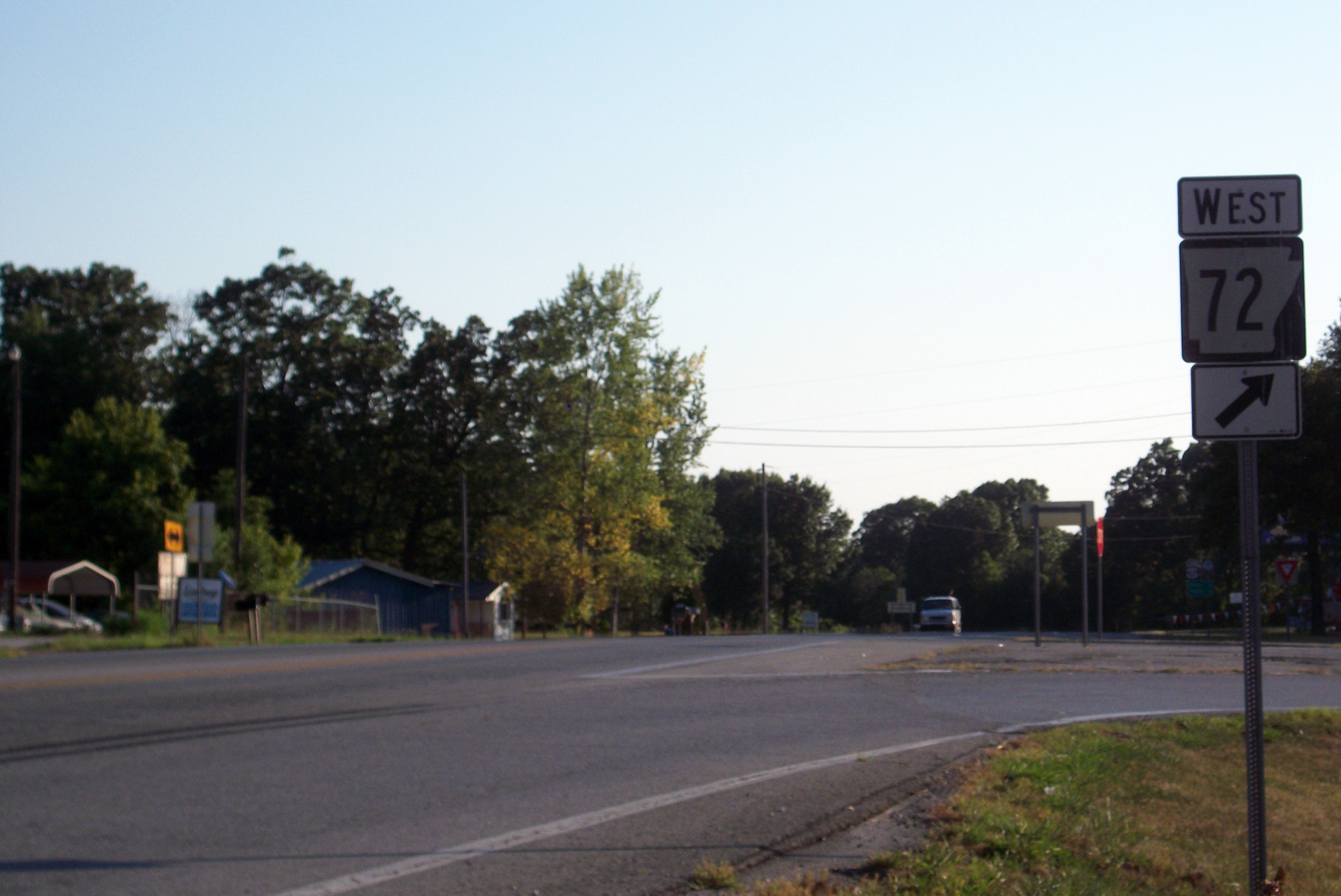
Highway 72 (AR 72, Ark. 72, and Hwy. 72) is a designation for two east–west state highways in Benton County, Arkansas. A western route of runs east from Highway 43 at Maysville to U.S. Route 71B (US 71B) in Bentonville. A second route of begins at Interstate 49/ US Route 71 (I-49/US 71) in Bentonville and runs northeast to US 62 near Avoca. The route is one of the original Arkansas state highways. Route description Maysville to Bentonville The route begins at Highway 43 in Maysville and runs east to Gravette. Highway 72 intersects Highway 59 in Gravette near the Kansas City Southern Railway Caboose No. 383 on the National Register of Historic Places. The highway continues east past the Banks House to the community of Hiwasse within Gravette, having an interchange with I-49 just west of the community, where the highway passes the Hiwasse Bank Building. Upon reaching Hiwasse, Highway 72 has an officially desi ... [...More Info...] [...Related Items...] OR: [Wikipedia] [Google] [Baidu] |
Maysville, Arkansas
Maysville is an unincorporated area, unincorporated community and census-designated place (CDP) in Benton County, Arkansas, Benton County, Arkansas, United States. It is the westernmost settlement in the state of Arkansas. Per the 2020 United States Census, 2020 census, the population was 117. It is located in the Northwest Arkansas region. History A post office has been in operation at Maysville since 1850. Maysville once rivaled Bentonville in size, according to local history. Maysville is the location of (or is the nearest community to) Coats School, which is located on Spavinaw Creek Rd. and Sellers Farm, which is located on Old Hwy. on State Line. Both are listed on the National Register of Historic Places. Demographics 2020 census ''Note: the US Census treats Hispanic/Latino as an ethnic category. This table excludes Latinos from the racial categories and assigns them to a separate category. Hispanics/Latinos can be of any race.'' Education It is in the Gravette School ... [...More Info...] [...Related Items...] OR: [Wikipedia] [Google] [Baidu] |
Hiwasse Bank Building
The Hiwasse Bank Building is a historic commercial building in the rural community of Hiwasse, Arkansas. It is located on Arkansas Highway 279, a short way south of its junction with Arkansas Highway 72, abutting a similar but slightly newer commercial building. The building is a single-story brick building, with its front facade divided into three sections by iron stanchions. The left two bays have wood-frame windows in them, that on the right, the entrance flanked by sidelight windows and topped by a transom. Above these is a brick panel defined by a frame of corbelled brick. The interior has retained elements of its original pressed metal ceiling. Built c. 1890, it represents (despite deteriorating condition) the best of commercial architecture of that period in the small community. The building was listed on the National Register of Historic Places in 1988. File:HIWASSE BANK BUILDING, BENTON COUNTY, AR.jpg, The bank may have been destroyed or extensively remodeled after ... [...More Info...] [...Related Items...] OR: [Wikipedia] [Google] [Baidu] |
State Highways In Arkansas
State may refer to: Arts, entertainment, and media Literature * ''State Magazine'', a monthly magazine published by the U.S. Department of State * ''The State'' (newspaper), a daily newspaper in Columbia, South Carolina, United States * ''Our State'', a monthly magazine published in North Carolina and formerly called ''The State'' * The State (Larry Niven), a fictional future government in three novels by Larry Niven Music Groups and labels * States Records, an American record label * The State (band), Australian band previously known as the Cutters Albums * ''State'' (album), a 2013 album by Todd Rundgren * ''States'' (album), a 2013 album by the Paper Kites * ''States'', a 1991 album by Klinik * ''The State'' (album), a 1999 album by Nickelback Television * ''The State'' (American TV series), 1993 * ''The State'' (British TV series), 2017 Other * The State (comedy troupe), an American comedy troupe Law and politics * State (polity), a centralized political organizatio ... [...More Info...] [...Related Items...] OR: [Wikipedia] [Google] [Baidu] |
Spur Route
A spur route is a short road forming a branch from a longer, more important road such as a freeway, Interstate Highway, or motorway. A bypass or beltway should not be considered a true spur route as it typically reconnects with another or the same major road. Canada In the province of Ontario, most spur routes are designated as A or B, such as Highway 17A, or 7B. A stands for "Alternate Route", and usually links a highway to a town's central core or main attraction, while B stands for "Business Route" or "Bypass", but are used when a main highway is routed around a town and away from its former alignment. The designation of "C" was used twice (Highway 3C and 40C), and is assumed to mean "Connector". Both highways have long since been retired and are now county roads. There was also one road with the D designation (Highway 8D, later the original Highway 102), and this may have stood for "Diversion", as it was along the first completed divided highway in Canada at the time (Coo ... [...More Info...] [...Related Items...] OR: [Wikipedia] [Google] [Baidu] |
US 71 (AR)
U.S. Highway 71 (US 71) is a United States highway, U.S. highway that runs from Krotz Springs, Louisiana, Krotz Springs, LA to the Fort Frances–International Falls International Bridge at the Canada–United States border, Canadian border. In Arkansas, the highway runs from the Louisiana state line near Doddridge, Arkansas, Doddridge to the Missouri state line near Bella Vista, Arkansas, Bella Vista. In Texarkana, the highway runs along State Line Avenue with U.S. Route 59, US 59 and partially runs in Texas (northbound traffic is in Arkansas and southbound in Texas). Other areas served by the highway include Fort Smith metropolitan area, Fort Smith and Northwest Arkansas. Route description The route enters Arkansas near the Red River of the South, Red River, and runs north through the communities of Doddridge, Arkansas, Doddridge and Fouke, Arkansas, Fouke. Most motorists can now bypass US 71 from the Louisiana border to Texarkana via Interstate 49 in Arkansas, Intersta ... [...More Info...] [...Related Items...] OR: [Wikipedia] [Google] [Baidu] |
Joplin, MO
Joplin is a city in Jasper and Newton counties in the southwestern corner of the U.S. state of Missouri. The bulk of the city is in Jasper County, while the southern portion is in Newton County. Joplin is the largest city located within both Jasper and Newton Counties - even though it is not the county seat of either county (Carthage is the seat of Jasper County while Neosho is the seat of Newton County). With a population of 51,762 as of the 2020 census, Joplin is the 13th most-populous city in the state. The city covers an area of 35.69 square miles (92.41 km2) on the outer edge of the Ozark Mountains. Joplin is the main hub of the three-county Joplin-Miami, Missouri-Oklahoma Metro area, which is home to 210,077 people making it the 5th largest metropolitan area in Missouri. In May 2011, the city was hit by a violent EF5 tornado which destroyed one-third of the city. History 19th century Lead was discovered in the Joplin Creek Valley before the Civil War, but only a ... [...More Info...] [...Related Items...] OR: [Wikipedia] [Google] [Baidu] |
Pea Ridge National Military Park
Pea Ridge National Military Park is a United States National Military Park located in northwest Arkansas near the Missouri border. The park protects the site of the Battle of Pea Ridge, fought March 7 and 8, 1862. The battle was a victory for the Union, and helped it gain control of the crucial border state of Missouri. Administrative history The Pea Ridge National Military Park was created by an act of Congress in 1956 to preserve the battlefield of the 1862 Battle of Pea Ridge. It was dedicated as a national park during the nation's Civil War Centennial in 1963.Warren, Steven L. Pea Ridge National Military Park, The Encyclopedia of Arkansas History and Culture. In 1956, the Arkansas congressional delegation proposed legislation to make Pea Ridge a national military park. This was a major breakthrough in American Civil War battlefield preservation. At that time, under the National Park Service classification system, only should have been preserved, along with a monument. On ... [...More Info...] [...Related Items...] OR: [Wikipedia] [Google] [Baidu] |
Arkansas Highway 94
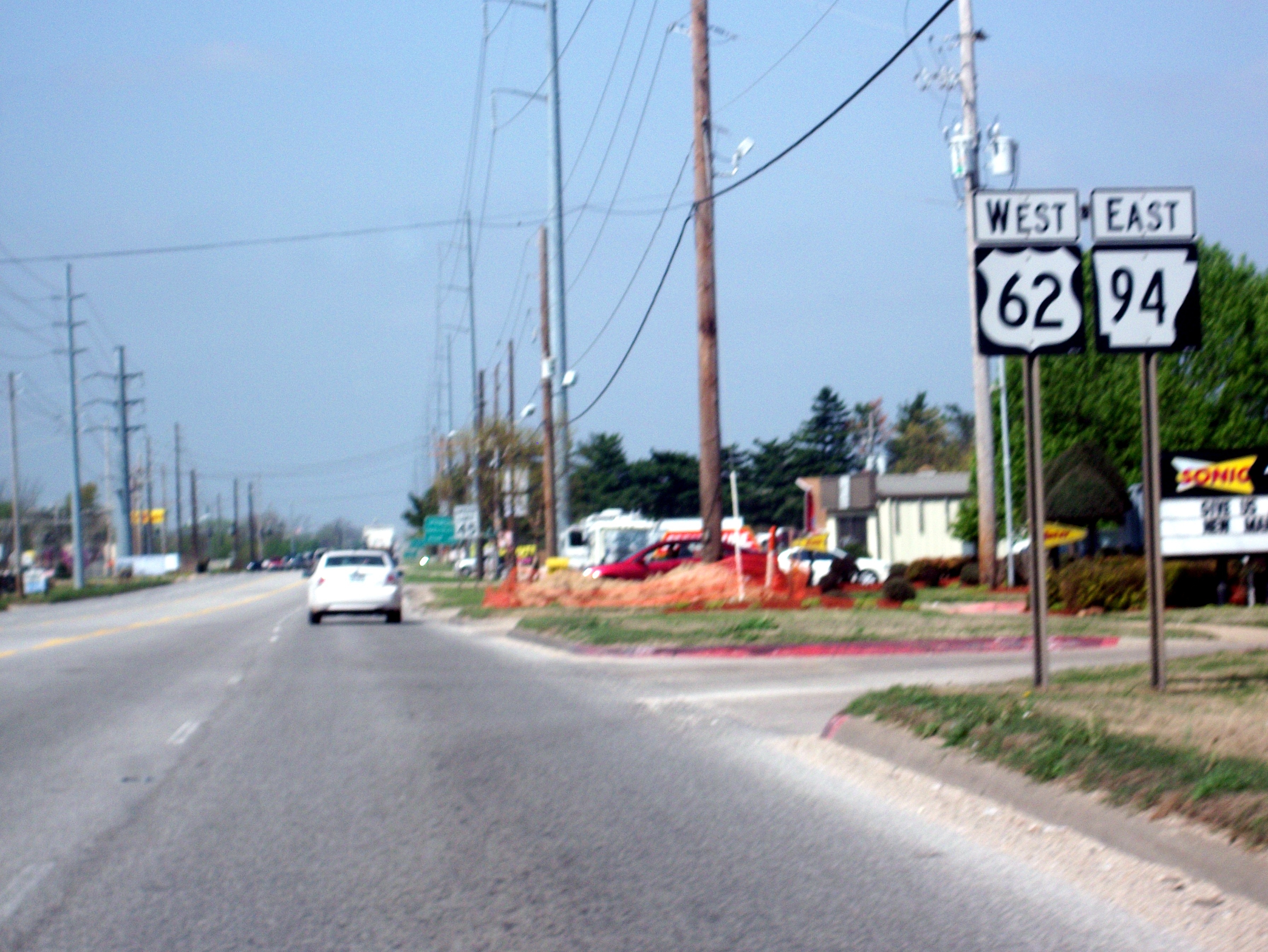
Highway 94 (AR 94, Ark. 94, and Hwy. 94) is an east–west state highway in Benton County, Arkansas. The route of runs from Horseshoe Bend Park near Beaver Lake west across US Route 71 Business (US 71B) and US 62 to Missouri Supplemental Route E at the Missouri state line. The route is maintained by the Arkansas State Highway and Transportation Department (AHTD). Route description The route begins at Horseshoe Bend Park on Beaver Lake and runs northwest. The route meets a spur route that runs to Monte Ne before meeting U.S. Route 71B (US 71B) in Rogers. The route runs north concurrently with US 71B until New Hope Road. US 71B turns left and Highway 94 continues north as 8th Street until a junction with US 62/ Highway 12 in north Rogers. Highway 94 continues along an officially designated exception of with US 62/AR 12. The overlap ends at a junction where Highway 12 turns right, Highway 94 t ... [...More Info...] [...Related Items...] OR: [Wikipedia] [Google] [Baidu] |
Pea Ridge, Arkansas
Pea Ridge is a city in Benton County, Arkansas, Benton County, Arkansas, United States. The name Pea Ridge is derived from a combination of the physical location of the original settlement of the town, across the crest of an Ozark Mountains ridge, and for the hog peanuts or turkey peas that had been originally cultivated by Native Americans in the United States, Native American tribes centuries before European settlement, which later helped to provide basic subsistence once those American pioneer, pioneer settlers arrived. The rural town is best known as the location of the pivotal American Civil War engagement the Battle of Pea Ridge, or, as it is locally known, the Battle of Elkhorn Tavern, which took place approximately east of the town. The site of the battle is preserved as the Pea Ridge National Military Park. The town's downtown business district is on the National Register of Historic Places and largely comprises commercial structures from the late 19th and early 20th c ... [...More Info...] [...Related Items...] OR: [Wikipedia] [Google] [Baidu] |
Bentonville Town Square
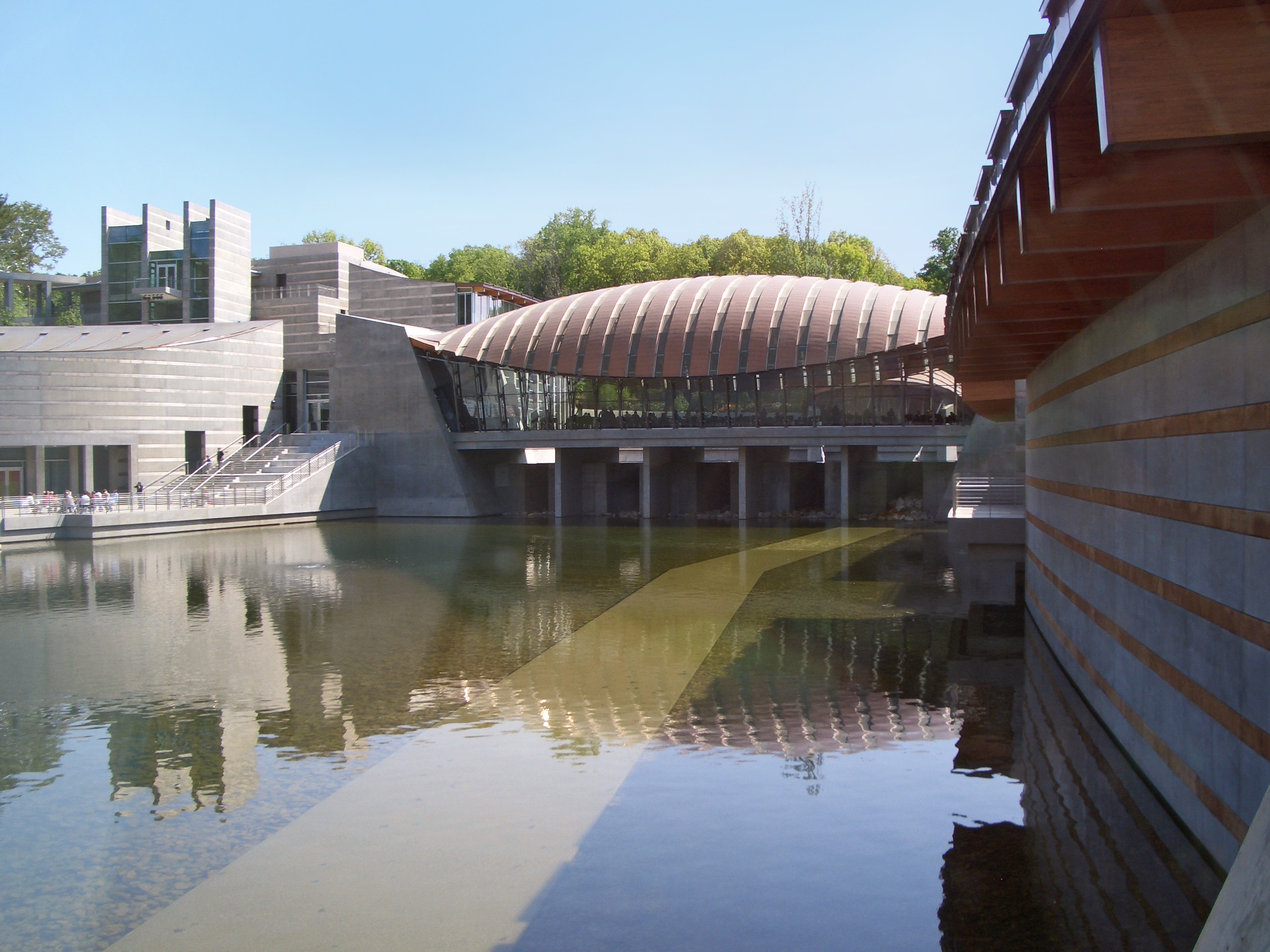
Downtown Bentonville is the historic business district of Bentonville, Arkansas. The region is the location of Walmart Home Office; city and county government facilities; and most of Bentonville's tourist attractions for the city and contains many historically and architecturally significant properties. Downtown measures approximately and is defined as the region between Tiger Boulevard to the north, Highway 102 (AR 102) to the south, Walton Boulevard ( U.S. Route 71B) to the west and J Street to the east. Similar to other central business districts in the US, Downtown has recently undergone a transformation that included the construction of new condos and lofts, renovation of historic buildings, and arrival of new residents and businesses. Upon opening of Crystal Bridges Museum of American Art the increased tourist traffic related to the museum has made Downtown Bentonville one of the state's most popular tourism destinations. Master plan In the early 2000s, Bentonvi ... [...More Info...] [...Related Items...] OR: [Wikipedia] [Google] [Baidu] |
Arkansas Highway 102B (Centerton)
Highway 102 (AR 102, Ark. 102, Hwy. 102) is an east–west state highway in Benton County, Arkansas. The highway connects two of western Benton County's population centers to Bentonville and Interstate 49 (I-49), the main north-south route in the Northwest Arkansas region. Created as an original state highway in 1926, the route has been extended or truncated around once per decade until 2004. A single spur route runs north-south as Main Street in Centerton. Both highways are maintained by the Arkansas Department of Transportation (ArDOT). Route description ArDOT maintains AR 102 as part of the state highway system. Including concurrencies, the highest traffic segment in 2021 was between Walton Boulevard and Greenhouse Road in Bentonville, with 36,000 vehicles per day on average. It remains over 30,000 VPD heading east from this segment, but drops as it travels west, with 14,000 VPD west of AR 102B, 3,900 west of Centerton, and 1,800 west of D ... [...More Info...] [...Related Items...] OR: [Wikipedia] [Google] [Baidu] |
Centerton, Arkansas
Centerton is a city in Benton County, Arkansas, United States. Located west of Bentonville on Highway 102, Centerton has grown from a railroad stop and fruit orchard community in the early 20th century into a suburban bedroom community within the rapidly growing Northwest Arkansas (NWA) region. The city's population has grown from 491 in 1990 to 16,244 in 2019. Centerton is considered to be one of the fastest growing cities in Arkansas and consistently ranks amongst the most safest cities in the state. History Native American hunters and early settlers were drawn to present-day Centerton by natural springs, including what is now known as McKissick Spring. In the Antebellum South era, an early church and school built along the spring were named Center Point, for the community's central location in Benton County. Though the area did not see any formal action during the Civil War, Union troops camped at McKissick Spring on March 5, 1862, shortly before the Battle of Pea Ridge. Af ... [...More Info...] [...Related Items...] OR: [Wikipedia] [Google] [Baidu] |


