|
Highway 2A (Ontario)
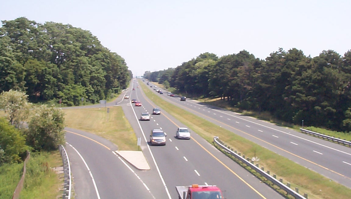
King's Highway 2A, commonly referred to as Highway 2A, was the designation of five separate provincially maintained highways in the Canadian province of Ontario. Highway 2A was an alternate route to Highway 2 in Chatham, London and Cornwall; these routes were all eventually redesignated. Highway 2A was also a highway that extended from Windsor to Tilbury, which was redesignated as Highway 98 in 1938. The final and most familiar section of highway to be designated Highway 2A was the bypass of Highway 2 between Toronto and Newcastle, most of which became part of Highway 401 in July 1952. The short stub of dual carriageway feeding into a new alignment of Kingston Road with Highway 401 was renumbered 2A in 1956 with the completion of the ''Toronto Bypass''. Despite losing its provincial highway status in 1998, Highway 2A was never renamed and is now part of Toronto's municipal expressway system. The speed limit is , and it is patrolled by the Toronto Police Service. Windsor–Tilb ... [...More Info...] [...Related Items...] OR: [Wikipedia] [Google] [Baidu] |
Toronto Transportation
Toronto Transportation Services is the division of the Municipal government of Toronto, City of Toronto which manages transport infrastructure within public Right of way, rights of way in Toronto. With an operating budget of approximately $436.4 million in 2022 and 1,400 staff, the division maintains the city's Roads in Toronto, surface streets and sidewalks, Cycling in Toronto, cycling infrastructure, the Gardiner Expressway and the Don Valley Parkway. History The department was created in the 1998 amalgamation of Toronto from the merger of: * Metropolitan Toronto Transportation Department (Metro Toronto Roads and Transportation) * North York Transportation Department * Scarborough, Toronto, Scarborough Works Department * Etobicoke Transportation Department * York, Toronto, City of York Transportation Department * East York Transportation Department * Toronto (former), City of Toronto Department of Public Works and the Environment Before amalgamation, Metro Toronto Transportation ... [...More Info...] [...Related Items...] OR: [Wikipedia] [Google] [Baidu] |
Ontario Highway 114
King's Highway 114, commonly referred to as Highway 114, was a provincially maintained highway in the Canadian province of Ontario. It was one of the shortest highways ever assigned in the province, at just in length. The route followed Malden Road for its entire length between Highway 3 and Highway 98. Part of the original provincial highway network created in 1920, Highway 114 was created in 1953 out of a route renumbering. Prior to 1953, it had been numbered Highway 2A from 1929 until 1931, Highway 3A from 1931 until 1938, and Highway 98A from 1938 until 1953. Today, Malden Road is an unnumbered local road. Route description The former route of Highway 114, now known as Malden Road, is no longer maintained by the province nor by Essex County; it is a local road maintained by the Town of Tecumseh and the Town of Lakeshore. It is a narrow semi-rural township road, though fully paved and with houses along much of its path. Between Mannin ... [...More Info...] [...Related Items...] OR: [Wikipedia] [Google] [Baidu] |
The Queensway
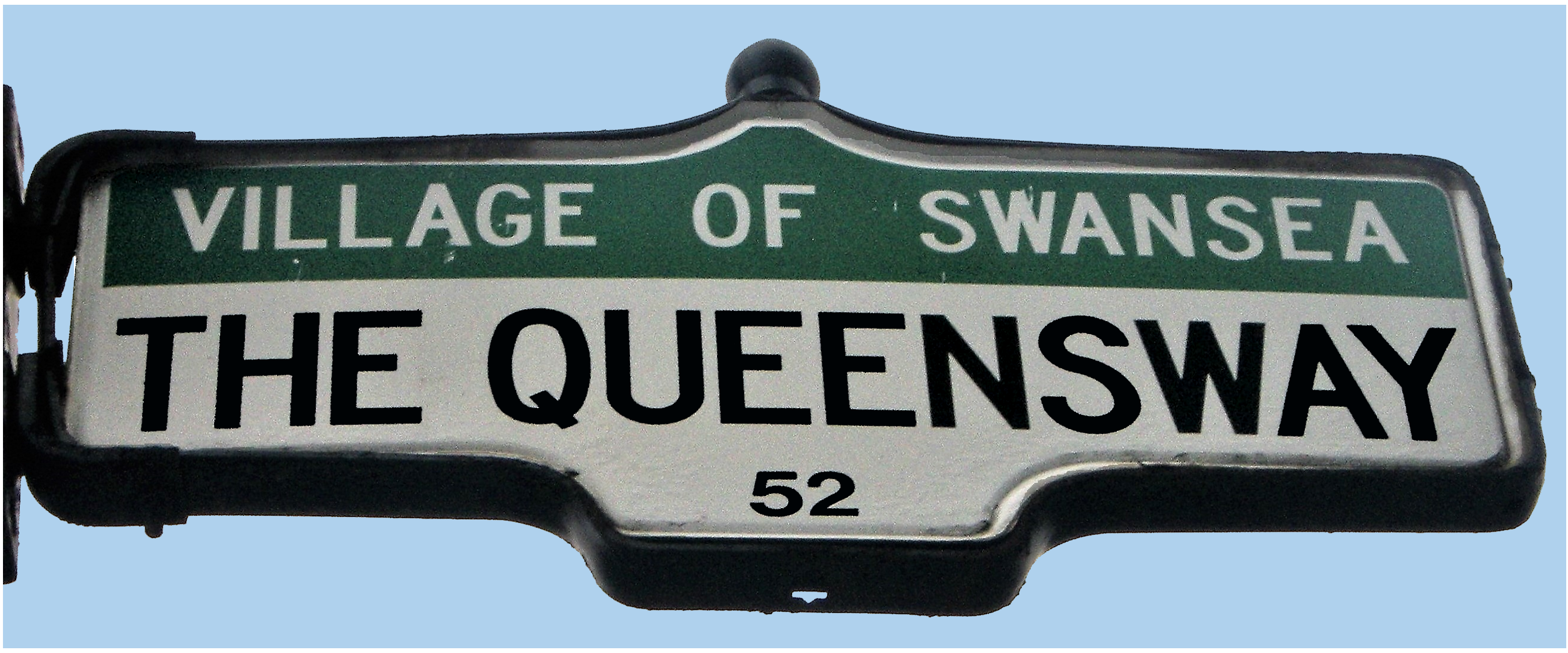
The Queensway (or Queensway) is a major street in the municipalities of Toronto and Mississauga, Ontario, Canada. It is a western continuation of Queen Street, after it crosses Roncesvalles Avenue and King Street in Toronto. The Queensway is a divided roadway from Roncevalles westerly until 600 metres of the South Kingsway (accessed by ramps) with its centre median dedicated to streetcar service. The road continues undivided west from there to Etobicoke Creek as a four- or six-lane thoroughfare. After crossing the creek, it enters Mississauga under Peel Region jurisdiction as Peel Regional Road 20, as far west as Mavis Road, with the westernmost portion to Glengarry Road being maintained by the city. There is a road allowance with hydro lines, cutting into the Mississaugua Golf & Country Club on the shores of the Credit River. In the 1990s, the name Queensway was eliminated on the roads on this allowance west of the river. The street gives its name to Etobicoke's the Queen ... [...More Info...] [...Related Items...] OR: [Wikipedia] [Google] [Baidu] |
Humber River (Ontario)
The Humber River ( oj, Gabekanaang-ziibi, p=Gabekanaang-ziibi, ''meaning: "little thundering waters"'') is a river in Southern Ontario, Canada. It is in the Great Lakes Basin, is a tributary of Lake Ontario and is one of two major rivers on either side of the city of Toronto, the other being the Don River to the east. It was designated a Canadian Heritage River on September 24, 1999. The Humber collects from about 750 creeks and tributaries in a fan-shaped area north of Toronto that encompasses portions of Dufferin County, the Regional Municipality of Peel, Simcoe County, and the Regional Municipality of York. The main branch runs for about from the Niagara Escarpment in the northwest, while another major branch, known as the East Humber River, starts at Lake St. George in the Oak Ridges Moraine near Aurora to the northeast. They join north of Toronto and then flow in a generally southeasterly direction into Lake Ontario at what was once the far western portions of the city. Show ... [...More Info...] [...Related Items...] OR: [Wikipedia] [Google] [Baidu] |
Lakeshore Road
Lakeshore Road (originally Lake Shore Road) is a historic roadway in the Canadian province of Ontario, running through the city of Burlington and the town of Oakville in Halton Region, as well as the city of Mississauga in Peel Region. As its name implies, the road closely follows the shoreline of Lake Ontario, although the lake itself is not visible from the road in most areas. Lakeshore Road was once a key section of the historic Highway 2 (as well as a short section of Highway 20), which traversed the province, but has since been downloaded to local municipalities. Despite this historical role as a major route, however, most of the road is a lower-capacity picturesque residential and historic commercial street with only two through lanes until it becomes a four-lane, higher-volume artery after it enters Mississauga and jogs to the north. Lakeshore Road historically continued east into Toronto, as far east as the Parkdale neighbourhood, where it tied into Queen Street, but t ... [...More Info...] [...Related Items...] OR: [Wikipedia] [Google] [Baidu] |
Lake Shore Boulevard
Lake Shore Boulevard (often incorrectly compounded as Lakeshore Boulevard) is a major arterial road running along more than half of the Lake Ontario waterfront in the city of Toronto, Ontario, Canada. Prior to 1998, two segments of Lake Shore Boulevard (from the Etobicoke– Mississauga boundary to the Humber River and from Leslie Street to Woodbine Avenue) were designated as part of Highway 2, with the highway following the Gardiner Expressway between these two sections. Lake Shore Boulevard's western terminus is Etobicoke Creek, the western boundary of Toronto. Its western section is a redesignation of the old Lakeshore Road, which still runs from Burlington to Mississauga. From here its route follows closely, though not always within sight of, the shoreline of Lake Ontario eastward through the city to Ashbridges Bay, where it curves north and becomes Woodbine Avenue at Woodbine Beach. The former route of Highway 2 briefly follows Woodbine then turns right onto Kingst ... [...More Info...] [...Related Items...] OR: [Wikipedia] [Google] [Baidu] |
Macadamized
Macadam is a type of road construction, pioneered by Scottish engineer John Loudon McAdam around 1820, in which crushed stone is placed in shallow, convex layers and compacted thoroughly. A binding layer of stone dust (crushed stone from the original material) may form; it may also, after rolling, be covered with a cement or bituminous binder to keep dust and stones together. The method simplified what had been considered state-of-the-art at that point. Predecessors Pierre-Marie-Jérôme Trésaguet Pierre-Marie-Jérôme Trésaguet is sometimes considered the first person to bring post-Roman science to road building. A Frenchman from an engineering family, he worked paving roads in Paris from 1757 to 1764. As chief engineer of road construction of Limoges, he had opportunity to develop a better and cheaper method of road construction. In 1775, Tresaguet became engineer-general and presented his answer for road improvement in France, which soon became standard practice there. ... [...More Info...] [...Related Items...] OR: [Wikipedia] [Google] [Baidu] |
Ontario Highway 4
King's Highway 4, also known as Highway 4, is a provincially maintained highway in the Canadian province of Ontario. Originally much longer than its present length, more than half of Highway 4 was transferred to the responsibility of local governments in 1998. It travels between Highway 3 in Talbotville Royal, north-west of St. Thomas, and Highway 8 in Clinton, passing through the city of London inbetween. Highway 4 was first designated in 1920, when a route between Talbotville Royal and Elginfield was assumed by the Department of Highways. It was extended in the early 1930s both south to Port Stanley as well as north to Flesherton. Route description Highway4 starts at an intersection with Highway3 in Talbotville Royal and continues north as a two-lane undivided highway. For most of its length, the highway bisects agricultural land. It travels along a short concurrency with Highway 401 from the community of Tempo to Wonderland Road. It encounters an interchange wi ... [...More Info...] [...Related Items...] OR: [Wikipedia] [Google] [Baidu] |
Concurrency (road)
A concurrency in a road network is an instance of one physical roadway bearing two or more different route numbers. When two roadways share the same right-of-way, it is sometimes called a common section or commons. Other terminology for a concurrency includes overlap, coincidence, duplex (two concurrent routes), triplex (three concurrent routes), multiplex (any number of concurrent routes), dual routing or triple routing. Concurrent numbering can become very common in jurisdictions that allow it. Where multiple routes must pass between a single mountain crossing or over a bridge, or through a major city, it is often economically and practically advantageous for them all to be accommodated on a single physical roadway. In some jurisdictions, however, concurrent numbering is avoided by posting only one route number on highway signs; these routes disappear at the start of the concurrency and reappear when it ends. However, any route that becomes unsigned in the middle of the concurren ... [...More Info...] [...Related Items...] OR: [Wikipedia] [Google] [Baidu] |
Seaway International Bridge
The Seaway International Bridge is an international crossing connecting New York State, in the United States, Akwesasne Mohawk Territory, and the province of Ontario in Canada. It consists of the South and North Channel Bridges. The South Channel Bridge was opened in 1958, and spans the St. Lawrence Seaway. The North Channel Bridge, opened in 2014, connects the City of Cornwall in Ontario to Cornwall Island in Akwesasne Mohawk Territory. The bridge is among the busiest on the Canada–United States border in the state of New York, with about two million crossings a year. It is jointly owned by the Federal Bridge Corporation (a Crown corporation of the Canadian federal government) and the Saint Lawrence Seaway Development Corporation (an agency of the United States Department of Transportation), and is operated by the Seaway International Bridge Corporation, which came under the control of the Federal Bridge Corporation from the Saint Lawrence Seaway Authority in 1998. Previ ... [...More Info...] [...Related Items...] OR: [Wikipedia] [Google] [Baidu] |
Thames River (Ontario)
The Thames River is located in southwestern Ontario, Canada. The Thames flows southwestly through southwestern Ontario, from the Town of Tavistock through the cities of Woodstock, London and Chatham to Lighthouse Cove on Lake St. Clair. Its drainage basin is . The river is also known as Deshkaan-ziibi / Eshkani-ziibi ("Antler River") in the Ojibwe language, spoken by Anishnaabe peoples who, along with the Neutrals prior to the disappearance in the 17th century, have lived in the area since before Europeans arrived. This name was anglisized as "Escunnisepe" as the first English name of the river. In 1793, Lieutenant Governor John Graves Simcoe named the river after the River Thames in England. Early French Canadians referred to it as La Tranche, due to the wide and muddy waters of its lower section. Much of the Thames was formerly surrounded by deciduous Carolinian forests, but much of this forest has been removed to permit agriculture and other forms of development. Two c ... [...More Info...] [...Related Items...] OR: [Wikipedia] [Google] [Baidu] |
Ontario Highway 2B
King's Highway 2A, commonly referred to as Highway 2A, was the designation of five separate provincially maintained highways in the Canadian province of Ontario. Highway 2A was an alternate route to Highway 2 in Chatham, London and Cornwall; these routes were all eventually redesignated. Highway 2A was also a highway that extended from Windsor to Tilbury, which was redesignated as Highway 98 in 1938. The final and most familiar section of highway to be designated Highway 2A was the bypass of Highway 2 between Toronto and Newcastle, most of which became part of Highway 401 in July 1952. The short stub of dual carriageway feeding into a new alignment of Kingston Road with Highway 401 was renumbered 2A in 1956 with the completion of the ''Toronto Bypass''. Despite losing its provincial highway status in 1998, Highway 2A was never renamed and is now part of Toronto's municipal expressway system. The speed limit is , and it is patrolled by the Toronto Police Service. Windsor–Ti ... [...More Info...] [...Related Items...] OR: [Wikipedia] [Google] [Baidu] |


