|
Highway 180 (Wisconsin)
State Trunk Highway 180 (often called Highway 180, STH-180 or WIS 180) is a , north–south state highway in southeastern Marinette County, Wisconsin, United States, that runs from Wisconsin Highway 64 (WIS 64) in Marinette to U.S. Route 141 (US 141) in Wausaukee. Route description WIS 180 begins at a roundabout on WIS 64 (Hall Avenue) on the northwestern city limits of Marinette. The road continues south as County Trunk Highway T (CTH-T/Roosevelt Road) to connect with U.S. Route 41 (US 41) and then on to end at CTH-B. WIS 64 heads east to end at US 41 in central Marinette and heads west to connect with US 141 and then on to Pound and Antigo. For its entire length, the WIS 180 roughly follows the western bank of the Menominee River as a two-lane road. The river in the area of WIS 180 flows along the stateline between Wisconsin and Michigan. From is southern terminus WIS 180 heads north along the western city l ... [...More Info...] [...Related Items...] OR: [Wikipedia] [Google] [Baidu] |
Marinette, Wisconsin
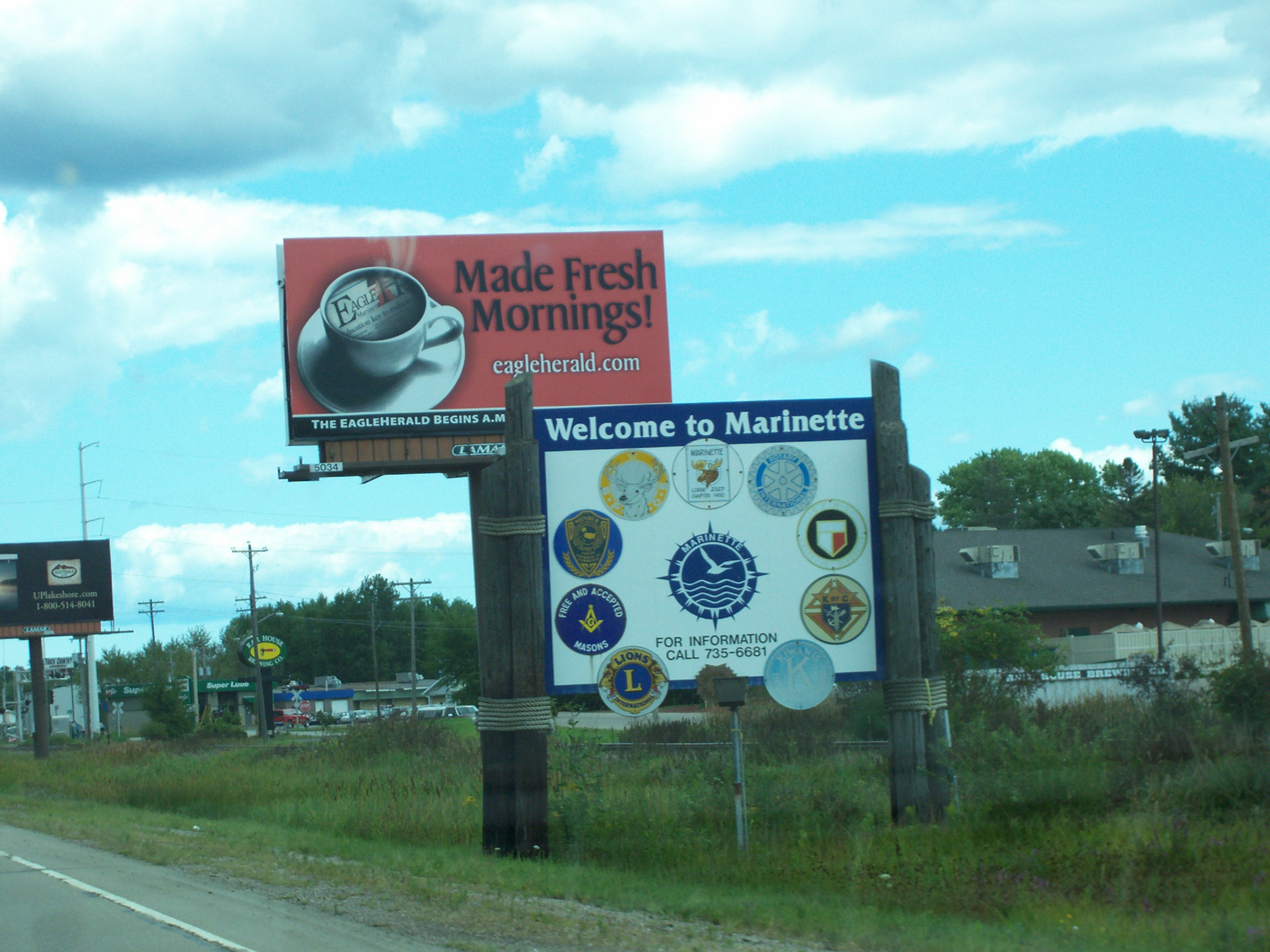
Marinette is a city in and the county seat of Marinette County, Wisconsin, United States. It is located on the south bank of the Menominee River, at its mouth at Green Bay, part of Lake Michigan; to the north is Stephenson Island, part of the city preserved as park. During the lumbering boom of the late 19th century, Marinette became the tenth-largest city in Wisconsin in 1900, reaching a peak population of 16,195. Marinette is the principal city of the Marinette, Wisconsin–Michigan Micropolitan Statistical Area, which includes all of Marinette County, Wisconsin and Menominee County, Michigan. The population was 10,968 at the 2010 census. Menominee, Michigan is across the river to the north, and the cities are connected by three bridges. Menominee and Marinette are sometimes described as the "twin cities" of the Menominee River. Name The town and county were named ''Marinette'' after Marie Antoinette Chevalier (1793, Langlade County, Wisconsin – 1865, Green Bay, Wisco ... [...More Info...] [...Related Items...] OR: [Wikipedia] [Google] [Baidu] |
Niagara, Wisconsin
Niagara is a city in Marinette County, Wisconsin, United States. The population was 1,624 at the 2010 census. The city lies to the north of and adjacent to the Town of Niagara. It is part of the Marinette, WI– MI Micropolitan Statistical Area. History The city of Niagara was founded in 1900 on the banks of the Menominee River. Niagara is an Iroquois word that means "thundering waters", which is also used in the famous Niagara Falls, between New York and the Canadian province of Ontario. Geography Niagara is located at (45.778244, -88.003867). According to the United States Census Bureau, the city has a total area of , of which, is land and is water. Demographics 2010 census As of the census of 2010, there were 1,624 people, 695 households, and 440 families living in the city. The population density was . There were 797 housing units at an average density of . The racial makeup of the city was 97.7% White, 0.1% African American, 0.6% Native American, 0.4% Asian ... [...More Info...] [...Related Items...] OR: [Wikipedia] [Google] [Baidu] |
Pembine, Wisconsin
Pembine is a town in Marinette County, Wisconsin, Marinette County, Wisconsin, United States. The population was 1,036 at the 2000 census. The unincorporated community of Kremlin, Wisconsin, Kremlin is located in the town, The census-designated place of Pembine (CDP), Wisconsin, Pembine is also located in the town. Geography According to the United States Census Bureau, the town has a total area of 67.3 square miles (174.4 km2), of which, 66.3 square miles (171.8 km2) of it is land and 1.0 square miles (2.6 km2) of it (1.47%) is water. The Pemebonwon River, with Long Slide Falls, is in the immediate vicinity. Another notable waterfall, Twelve Foot Falls, is located in the town of Dunbar on the nearby Pike River (Menominee River), Pike River. History The name ''Pembine'' comes from the Native American name ''Pemene Won Bon'', also the source of the name of the Pemebonwon River. The Soo Line connected the town by rail in 1887. Pembine was part of the tow ... [...More Info...] [...Related Items...] OR: [Wikipedia] [Google] [Baidu] |
Amberg, Wisconsin
Amberg is a town in Marinette County, Wisconsin, United States. The population was 854 at the 2000 census. The unincorporated community of Cedarville is located partially in the town. The census-designated place of Amberg is located within the town. Geology The Amberg and Athelstane Granites Amberg is located in Northeastern Wisconsin about north of Green Bay in Marinette County. The Amberg-Athelstane Granite is part of the Wisconsin Magmatic Terrane. The Wisconsin Magmatic Terrane is an area formed by a tectonic plate collision at about 1850 Ma. marked by the Niagara Fault Zone. The Amberg Granite is one of the most extensive in Wisconsin. It is well known for its great variety of color and texture. The two most common types are a fine-grained gray granite and a course-grained red granite known as "Amberg red." These granites were a valuable commodity in the late 19th century and early 20th century, causing quarries to be started in the area. Dave's Falls is located about ... [...More Info...] [...Related Items...] OR: [Wikipedia] [Google] [Baidu] |
Track (rail Transport)
A railway track (British English and UIC terminology) or railroad track (American English), also known as permanent way or simply track, is the structure on a railway or railroad consisting of the rails, fasteners, railroad ties (sleepers, British English) and ballast (or slab track), plus the underlying subgrade. It enables trains to move by providing a dependable surface for their wheels to roll upon. Early tracks were constructed with wooden or cast iron rails, and wooden or stone sleepers; since the 1870s, rails have almost universally been made from steel. Historical development The first railway in Britain was the Wollaton Wagonway, built in 1603 between Wollaton and Strelley in Nottinghamshire. It used wooden rails and was the first of around 50 wooden-railed tramways built over the next 164 years. These early wooden tramways typically used rails of oak or beech, attached to wooden sleepers with iron or wooden nails. Gravel or small stones were packed around the s ... [...More Info...] [...Related Items...] OR: [Wikipedia] [Google] [Baidu] |
Koss, Michigan
Koss is an unincorporated community in Menominee County, Michigan, United States. Koss is located in Lake Township, west-southwest of Stephenson. Geography Koss is located at the junction of S-1 Road and S-4 Road on the left bank of the Menominee River at an elevation of . Koss Creek, a tributary of the Menominee, flows west and south of Koss.''Swanson Quadrangle Michigan – Wisconsin, 7.5 Minute Series (Topographic)''. 1982. Map, 1:24,000. Reston, VA: U. S. Geological Survey. Koss is connected by road to Longrie to the northwest, Kells to the north (via County Road 577), Ingalls to the east (via County Roads 577 and 348), and Packard and McAllister, Wisconsin to the south (via Country Trunk Highway JJ). Name Koss was originally named Fischer, after the Chicago clothing company Kuh, Nathan, and Fischer, which turned the local logging line into a railroad that extended north to Miscauno Island. After it was determined that there was already another Fischer post office in ... [...More Info...] [...Related Items...] OR: [Wikipedia] [Google] [Baidu] |
Packard, Wisconsin
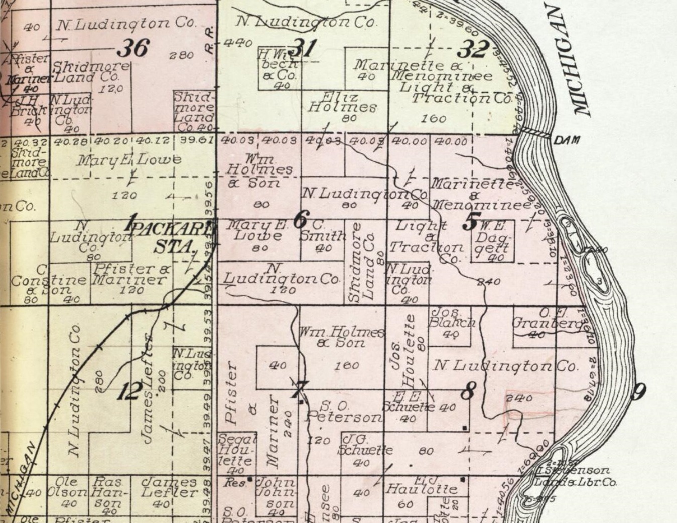
Packard is an Unincorporated area, unincorporated community located in the town of Wagner, Wisconsin, Wagner, Marinette County, Wisconsin, United States. Geography Packard is located at the intersection of Country Trunk Highway RR and Chapin Road,''Stephenson Quadrangle Wisconsin–Michigan, 15 Minute Series (Topographic)''. 1963. Map, 1:62,500. Washington, DC: U. S. Geological Survey. at an elevation of . It is connected by road to McAllister, Wisconsin, McAllister to the south and Koss, Michigan to the north. History Packard was a stop between McAllister and Koss on the Wisconsin & Michigan (W. & M.) Railway line from Bagley Junction, Wisconsin, Bagley Junction to Iron Mountain, Michigan, Iron Mountain. The rail line through Packard was discontinued in 1938, when the tracks were torn out and the rolling stock sold off. The entire town was destroyed by a forest fire in October, 1908. References External links * Unincorporated communities in Marinette County, Wiscons ... [...More Info...] [...Related Items...] OR: [Wikipedia] [Google] [Baidu] |
Three-way Junction
A three-way junction (or three-way intersection) is a type of road intersection with three arms. A Y junction (or Y intersection) generally has three arms of equal size coming at an acute or obtuse angle to each other; while a T junction (or T intersection) also has three arms, but one of the arms is generally a smaller road joining a larger road at right angle. Right-of-way Some three-way junctions are controlled by traffic lights, while others rely upon drivers to obey right-of-way rules, which vary from place to place: *In some jurisdictions, chiefly in European countries except the U.K. and Ireland, a driver is always obliged to yield right-of-way for every vehicle oncoming from the right at a junction without traffic signals and priority signs (including T junctions). *In other jurisdictions (mainly in the U.K., USA, Australia and Taiwan), a driver turning in a three-way junction must yield for every vehicle approaching the junction (on the way straight ahead) and, if the dr ... [...More Info...] [...Related Items...] OR: [Wikipedia] [Google] [Baidu] |
Middle Inlet, Wisconsin
The Town of Middle Inlet is located in Marinette County, Wisconsin, United States. The population was 831 at the 2000 census. The unincorporated communities of Sweetheart City and Middle Inlet are located in the town. Geography According to the United States Census Bureau, the town has a total area of 51.5 square miles (133.4 km2), of which, 50.7 square miles (131.4 km2) of it is land and 0.8 square miles (2.0 km2) of it (1.50%) is water. Demographics As of the census of 2000, there were 831 people, 366 households, and 245 families residing in the town. The population density was 16.4 people per square mile (6.3/km2). There were 643 housing units at an average density of 12.7 per square mile (4.9/km2). The racial makeup of the town was 98.32% White, 0.24% African American, 0.72% Native American, 0.24% Asian, and 0.48% from two or more races. Hispanic or Latino of any race were 0.12% of the population. There were 366 households, out of which 21.9% h ... [...More Info...] [...Related Items...] OR: [Wikipedia] [Google] [Baidu] |
Miles, Wisconsin
Miles is an Unincorporated area, unincorporated community located in the town of Porterfield, Wisconsin, Porterfield, Marinette County, Wisconsin, Marinette County, Wisconsin, United States. Geography Miles is located at the intersection of Miles Road and Winesville Road, at an elevation of .''Porterfield Quadrangle, Wisconsin—Marinette Co., 7.5-Minute Series (Topographic)''. 1982. Map, 1:24,000. Reston, VA: United States Department of the Interior Geological Survey. It is connected by road to Goll, Wisconsin, Goll and Wagner (community), Wisconsin, Wagner (via Old Rail Road, formerly Right of Way Road) to the north, Walsh, Wisconsin, Walsh (via County Highway G) and Porterfield (community), Wisconsin, Porterfield to the south, and Wisconsin Highway 180 to the east. History Miles was a stop between Twin Creek and Goll on the Wisconsin & Michigan (W. & M.) Railway line from Bagley Junction, Wisconsin, Bagley Junction to Iron Mountain, Michigan, Iron Mountain. The rail line th ... [...More Info...] [...Related Items...] OR: [Wikipedia] [Google] [Baidu] |


