|
Heapey
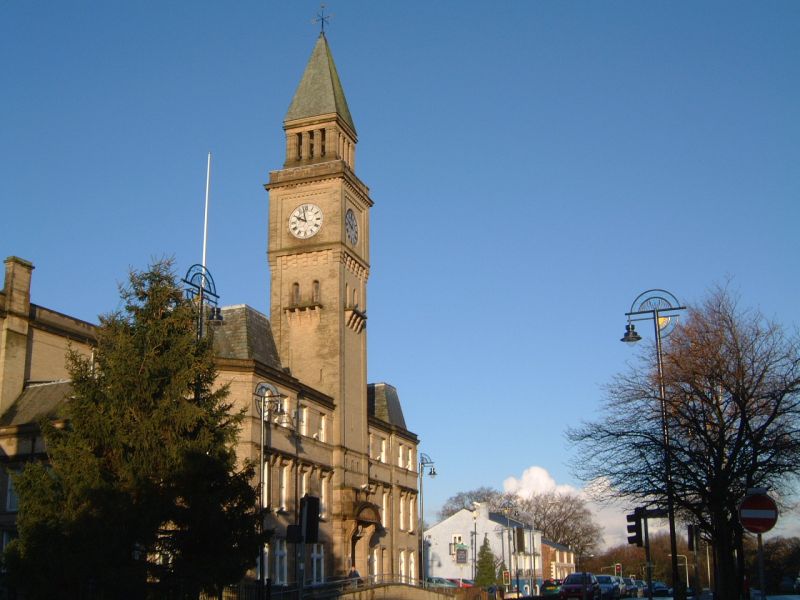
Heapey is a village and civil parish of the Borough of Chorley, in Lancashire, England. The village is two miles from Chorley and on the western fringe of the West Pennine Moors. In 2001 the population was 955, increasing to 1,001 at the 2011 census. History Heapey derives from the Old English ''heope'' a rose, or ''heap'' a hill and ''hege'' a hedge meaning a rose hedge or hedge on the hill. It was recorded as Hepeie in 1219. There are ancient earthworks near Heapey and Roman coins were discovered in 1835. Heapey was part of ''Gunolfsmoors'' an area between Leyland and Blackburn claimed by a Viking, Gunnolf, in the 10th century. It emerged in the Middle Ages as Hepay in 1260. The lordship was held by the De Ollertons including Ranulph who assumed the Hepay name. Robert de Hepay sold the lordship to the Standishes, and the manor or lordship remained with them. In 1924, the principal landowners were the trustees of Mrs. Paulet and Mrs. Sumner Mayhew. There were 34 hearths liab ... [...More Info...] [...Related Items...] OR: [Wikipedia] [Google] [Baidu] |
Lancashire Union Railway
The Lancashire Union Railway ran between Blackburn and St Helens in Lancashire, England. It was built primarily to carry goods between Blackburn and Garston Dock on the River Mersey, and also to serve collieries in the Wigan area. Most of the line has now closed, except for the St Helens-to-Wigan section that forms part of the main line between Liverpool and the North. History The Lancashire Union Railway (LUR) was authorised by Parliamentary Act of 25 July 1864 to build a line from the Blackbrook branch of the St Helens Railway to Adlington on the Bolton-to-Preston line of the Lancashire and Yorkshire Railway (LYR) near Chorley. This connected with existing lines between and St Helens. A further act of 13 July 1868 authorised an extension from to , and vested the section between (on the North Union Railway (NUR) north of Wigan) and (on the LYR near Blackburn) jointly with the LYR.Awdry, p.86 The whole line between St Helens and Blackburn opened to passengers on 1 Dec ... [...More Info...] [...Related Items...] OR: [Wikipedia] [Google] [Baidu] |
Chorley
Chorley is a town and the administrative centre of the wider Borough of Chorley in Lancashire, England, north of Wigan, south west of Blackburn, north west of Bolton, south of Preston and north west of Manchester. The town's wealth came principally from the cotton industry. In the 1970s, the skyline was dominated by factory chimneys, but most have now been demolished: remnants of the industrial past include Morrisons chimney and other mill buildings, and the streets of terraced houses for mill workers. Chorley is the home of the Chorley cake. History Toponymy The name ''Chorley'' comes from two Anglo-Saxon words, and , probably meaning "the peasants' clearing". (also or ) is a common element of place-name, meaning a clearing in a woodland; refers to a person of status similar to a freeman or a yeoman. Prehistory There was no known occupation in Chorley until the Middle Ages, though archaeological evidence has shown that the area around the town has been inhabit ... [...More Info...] [...Related Items...] OR: [Wikipedia] [Google] [Baidu] |
Heapey Railway Station
Heapey railway station served the village of Heapey, in Lancashire, England. History The station was opened by the Lancashire and Yorkshire Railway on the Blackburn to Chorley Line The Lancashire Union Railway ran between Blackburn and St Helens in Lancashire, England. It was built primarily to carry goods between Blackburn and Garston Dock on the River Mersey, and also to serve collieries in the Wigan area. Most of .... In 1960 the station was closed to passengers, although goods traffic survived until 1966. Services External linksRailway Images, BBC A Day out by Train to the Hills, BBC References Disused railway stations in Chorley[...More Info...] [...Related Items...] OR: [Wikipedia] [Google] [Baidu] |
Anglezarke Reservoir
Anglezarke Reservoir is the largest reservoir in the Rivington chain to the west of Anglezarke in Lancashire, England. Anglezarke Reservoir has three embankments: the Charnock Embankment, the longest, is long and high, the Knowsley Embankment is long and high and the Heapey Embankment is long and high. It is fed by the River Yarrow, which has been diverted from its original course which is now covered by the Knowsley Embankment. It served the city of Liverpool before its current status as a supply mainly for Wigan. The original `Rivington Pike Scheme' was undertaken by Thomas Hawksley between 1850 and 1857 for the Liverpool Corporation Waterworks. The scheme was to construct five reservoirs and a water treatment works at the south end of Lower Rivington with a pipeline to storage reservoirs at Prescot. Water from two higher level reservoirs, Rake Brook and Lower Roddlesworth, was carried south in `The Goit', a channel connecting them to the reservoirs. In November 199 ... [...More Info...] [...Related Items...] OR: [Wikipedia] [Google] [Baidu] |
Chorley (borough)
The Borough of Chorley is a local government district with borough status in Lancashire, England. The population of the Borough at the 2011 census was 107,155. It is named after its largest settlement, the town of Chorley. History The non-metropolitan district of Chorley was formed on 1 April 1974, covering the area of four former districts, which were abolished at the same time: * Adlington Urban District * Chorley Municipal Borough * Chorley Rural District *Withnell Urban District The new district was named Chorley, and the borough status previously held by the town was passed to the new district on the day that it came into being, allowing the chairman of the council to take the title of mayor. Council Elections are generally held three years out of every four, with a third of the council elected each time. In the fourth year where there are no borough council elections, elections for Lancashire County Council as the higher tier authority for the area are held instead ... [...More Info...] [...Related Items...] OR: [Wikipedia] [Google] [Baidu] |
River Yarrow (Lancashire)
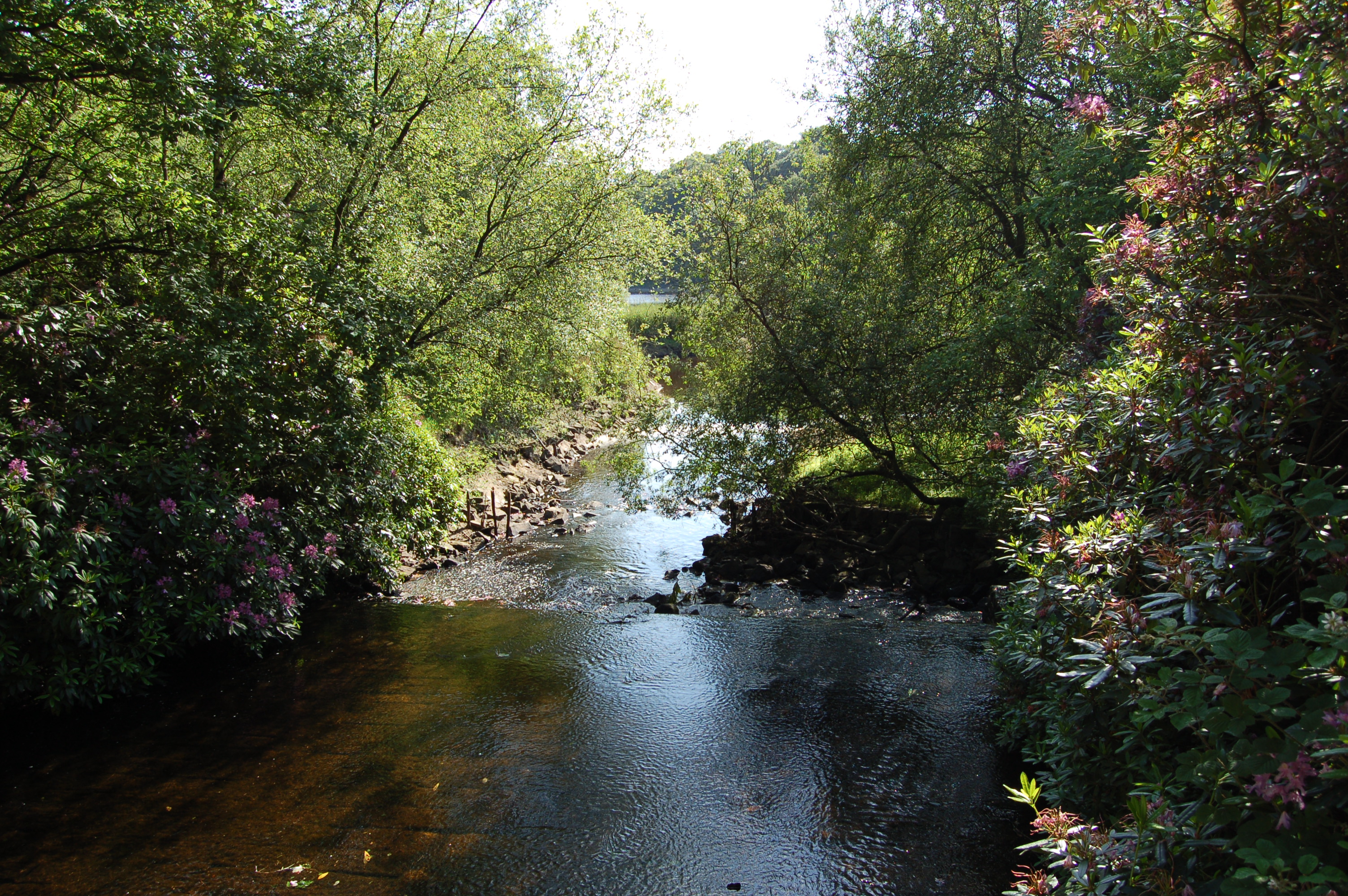
The River Yarrow is in Lancashire, with its source at an area called ''Will Narr'' at ''Hordern Stoops'', along Spitlers Edge - the Chorley/Blackburn boundary - on the West Pennine Moors. The river feeds the Yarrow Reservoir, which in turn feeds the Anglezarke and Upper and Lower Rivington Reservoirs. Upon leaving the reservoirs via a pumping station, the river passes through an area that was formerly known as ''Abyssinia''. Currently, this area is within the boundaries of Heath Charnock and Limbrick, but the original name was given because it was a route frequented by coal miners, and the workers were said to look like natives of Abyssinia (modern day Ethiopia): until the mid 20th century it was usual for miners to return from work covered in coal dust. From here, the river flows underneath the Leeds and Liverpool Canal, joining Black Brook at Yarrow Bridge, then continuing through the ancient woodland of Duxbury into Yarrow Valley Park forming a boundary of Euxton and on t ... [...More Info...] [...Related Items...] OR: [Wikipedia] [Google] [Baidu] |
West Pennine Moors
The West Pennine Moors is an area of the Pennines covering approximately of moorland and reservoirs in Lancashire and Greater Manchester, England. It is a Site of Special Scientific Interest. The West Pennine Moors are separated from the main Pennine range by the Irwell Valley to the east. The moorland includes Withnell, Anglezarke and Rivington Moors in the extreme west, Darwen and Turton Moors, Oswaldtwistle Moors and Holcombe Moors. These moors are lower in height than the main spine of the South Pennines. At , the highest point is at Winter Hill. The area is of historical importance with archaeological evidence of human activity from Neolithic times. The area is close to urban areas, the dramatic backdrop to Bolton, Blackburn and Bury and neighbouring towns affording panoramic views across the Lancashire Plain and the Greater Manchester conurbation. The moorland is surrounded by the towns of Bolton, Chorley, Darwen, Horwich, Ramsbottom, Haslingden and Oswaldtwistle. Notable ... [...More Info...] [...Related Items...] OR: [Wikipedia] [Google] [Baidu] |
United Kingdom Census 2011
A Census in the United Kingdom, census of the population of the United Kingdom is taken every ten years. The 2011 census was held in all countries of the UK on 27 March 2011. It was the first UK census which could be completed online via the Internet. The Office for National Statistics (ONS) is responsible for the census in England and Wales, the General Register Office for Scotland (GROS) is responsible for the census in Scotland, and the Northern Ireland Statistics and Research Agency (NISRA) is responsible for the census in Northern Ireland. The Office for National Statistics is the executive office of the UK Statistics Authority, a non-ministerial department formed in 2008 and which reports directly to Parliament. ONS is the UK Government's single largest statistical producer of independent statistics on the UK's economy and society, used to assist the planning and allocation of resources, policy-making and decision-making. ONS designs, manages and runs the census in England an ... [...More Info...] [...Related Items...] OR: [Wikipedia] [Google] [Baidu] |
Lindsay Hoyle
Sir Lindsay Harvey Hoyle (born 10 June 1957)'HOYLE, Hon. Lindsay (Harvey)', Who's Who 2013, A & C Black, an imprint of Bloomsbury Publishing plc, 2013; online edn, Oxford University Press, Dec 2012 ; online edn, Nov 201 Retrieved 31 December 2012. is a British politician who has served as Speaker of the House of Commons (United Kingdom), Speaker of the House of Commons since 2019 and as Member of Parliament (MP) for Chorley since 1997. Before his election as Speaker, he was a member of the Labour Party. As a Labour MP, Hoyle served as Chairman of Ways and Means and Deputy Speaker to John Bercow from 2010 to 2019, before being elected as Speaker on 4 November 2019.Deputy Speakers: Hoyle, Primarolo and Evans elected BBC News, 8 June 2010 Hoyle was unanimously re-elected as Speaker five days af ... [...More Info...] [...Related Items...] OR: [Wikipedia] [Google] [Baidu] |
Labour Party (UK)
The Labour Party is a List of political parties in the United Kingdom, political party in the United Kingdom that has been described as an alliance of Social democracy, social democrats, Democratic socialism, democratic socialists and trade unionists. The Labour Party sits on the Centre-left politics, centre-left of the political spectrum. In all general elections since 1922 United Kingdom general election, 1922, Labour has been either the governing party or the Her Majesty's Most Loyal Opposition (United Kingdom), Official Opposition. There have been six Labour List of prime ministers of the United Kingdom, prime ministers and thirteen Labour Cabinet of the United Kingdom, ministries. The party holds the annual Labour Party Conference, at which party policy is formulated. The party was founded in 1900, having grown out of the Labour movement, trade union movement and History of the socialist movement in the United Kingdom, socialist List of political parties in the United Kin ... [...More Info...] [...Related Items...] OR: [Wikipedia] [Google] [Baidu] |
2010 United Kingdom General Election
The 2010 United Kingdom general election was held on Thursday 6 May 2010, with 45,597,461 registered voters entitled to vote to elect members to the House of Commons. The election took place in 650 constituencies across the United Kingdom under the first-past-the-post system. The election resulted in a large swing to the Conservative Party similar to that seen in 1979, the last time a Conservative opposition had ousted a Labour government. The Labour Party lost the 66-seat majority it had previously enjoyed, but no party achieved the 326 seats needed for a majority. The Conservatives, led by David Cameron, won the most votes and seats, but still fell 20 seats short. This resulted in a hung parliament where no party was able to command a majority in the House of Commons. This was only the second general election since the Second World War to return a hung parliament, the first being the February 1974 election. For the leaders of all three major political parties, this wa ... [...More Info...] [...Related Items...] OR: [Wikipedia] [Google] [Baidu] |
Leeds And Liverpool Canal
The Leeds and Liverpool Canal is a canal in Northern England, linking the cities of Leeds and Liverpool. Over a distance of , crossing the Pennines, and including 91 locks on the main line. The Leeds and Liverpool Canal has several small branches, and in the early 21st century a new link was constructed into the Liverpool docks system. History Background In the mid-18th century the growing towns of Yorkshire, including Leeds, Wakefield and Bradford, were trading increasingly. While the Aire and Calder Navigation improved links to the east for Leeds, links to the west were limited. Bradford merchants wanted to increase the supply of limestone to make lime for mortar and agriculture using coal from Bradford's collieries and to transport textiles to the Port of Liverpool. On the west coast, traders in the busy port of Liverpool wanted a cheap supply of coal for their shipping and manufacturing businesses and to tap the output from the industrial regions of Lancashire. Inspired b ... [...More Info...] [...Related Items...] OR: [Wikipedia] [Google] [Baidu] |


