|
Hawkesworth Bridge
Hawkesworth Bridge is a one lane suspension bridge in San Ignacio, Belize. Built in 1949 and imported from Middlesbrough, England,Hawksworth Bridge at You Better Belize It! it crosses the linking San Ignacio to its sister-town Santa Elena. It is currently the only drivable suspension bridge in Belize. Work began in October 2012 on a new, larger bridge that will link Santa Elena and San Ignacio that will span 154 meters across the . Another wooden bridge downstream is only a few feet above the river and is normally used for westbound traffic from the Western Highway int ... [...More Info...] [...Related Items...] OR: [Wikipedia] [Google] [Baidu] |
Hawkesworth Bridge 2015 04
Hawkesworth is a surname. Notable people with the surname include: * Bob Hawkesworth (born 1951), Canadian politician * John Hawkesworth (book editor) (c. 1715–1773), English writer and book editor * John Hawkesworth (Army general) (1893–1945), British Army Lieutenant-General * John Hawkesworth (producer) (1920–2003), English television producer and script writer * M. Maurice Hawkesworth (born 1960), American songwriter and producer * William de Hawkesworth (died 1349), English medieval college head and university chancellor See also * Hawksworth (other) {{surname, Hawkesworth ... [...More Info...] [...Related Items...] OR: [Wikipedia] [Google] [Baidu] |
San Ignacio, Belize
San Ignacio and Santa Elena are towns in western Belize. San Ignacio serves as the cultural-economic hub of Cayo District. It got its start from mahogany and chicle production during British colonisation. Over time it attracted people from the surrounding areas, which led to the diverse population of the town today. San Ignacio is the largest settlement in Cayo District and the second largest in the country, after Belize City. History The town was originally named El Cayo by the Spanish. On 19 October 1904, El Cayo was officially declared a town by the government of British Honduras. In the past a creek ran between the Macal and the Mopan rivers one mile outside of San Ignacio going toward Benque Viejo. This creek then fulfilled the definition of an area of land completely surrounded by water and thus the name Cayo, "island". There was a large wooden bridge across this creek in the late 1940s, but since the creek eventually dried up, the area was filled with limestone gravel and ... [...More Info...] [...Related Items...] OR: [Wikipedia] [Google] [Baidu] |
Belize
Belize (; bzj, Bileez) is a Caribbean and Central American country on the northeastern coast of Central America. It is bordered by Mexico to the north, the Caribbean Sea to the east, and Guatemala to the west and south. It also shares a water boundary with Honduras to the southeast. It has an area of and a population of 441,471 (2022). Its mainland is about long and wide. It is the least populated and least densely populated country in Central America. Its population growth rate of 1.87% per year (2018 estimate) is the second-highest in the region and one of the highest in the Western Hemisphere. Its capital is Belmopan, and its largest city is the namesake city of Belize City. Belize is often thought of as a Caribbean country in Central America because it has a history similar to that of English-speaking Caribbean nations. Indeed, Belize’s institutions and official language reflect its history as a British colony. The Maya civilization spread into the area of Beli ... [...More Info...] [...Related Items...] OR: [Wikipedia] [Google] [Baidu] |
Macal River
The Macal River is a river running through Cayo District in western Belize. Sites along the river include the ancient Maya civilization, Mayan town of Cahal Pech and the Belize Botanic Gardens. The Macal River discharges to the Belize River. There are several tributaries to the Macal River including the following streams: Privassion, Rio On, Rio Frio, Mollejon and Cacao Camp. The size of the Macal River catchment basin is approximately 1492 square kilometers. The Macal River rises in a rugged portion of the Maya Mountains and flows in a northerly direction where it joins with the Mopan River to form the Belize River. Lying to the east of the Macal River Basin is the Cockscomb Basin Wildlife Sanctuary, the premier sanctuary established specifically for conservation biology, conservation of the jaguar. Due to the steep terrain of the headwaters region and the high rainfall of the upper Macal Basin, the Macal River is subject to rapid stage height rise, contributing significantly ... [...More Info...] [...Related Items...] OR: [Wikipedia] [Google] [Baidu] |
Hurricane Earl (2016)
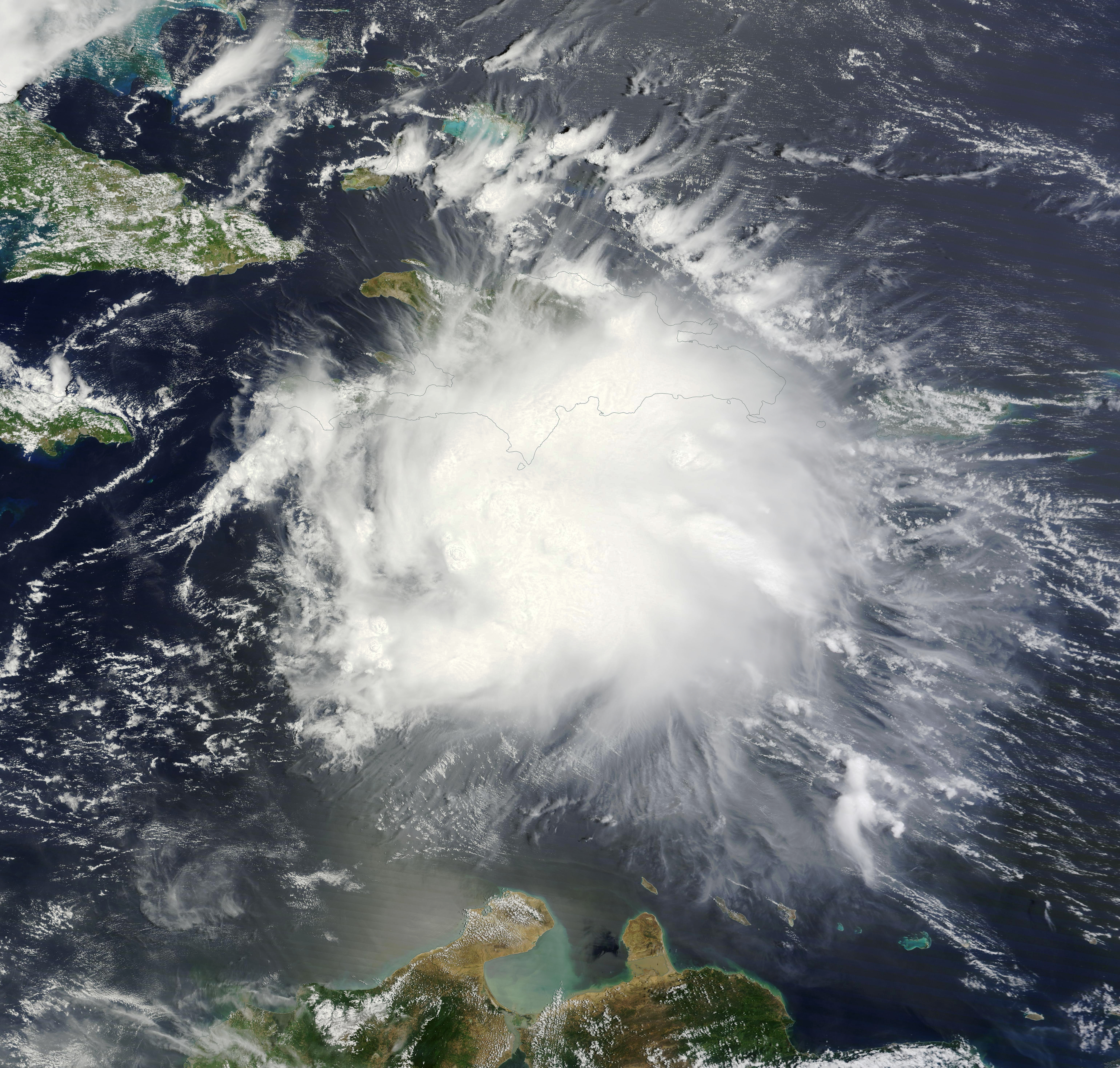
Hurricane Earl was the deadliest Atlantic hurricane to impact Mexico since Hurricane Stan in 2005. The fifth named storm and second hurricane of the 2016 Atlantic hurricane season, Earl formed from a tropical wave south of Jamaica on August 2. The precursor to Earl brought torrential rainfall and flooding to the Lesser Antilles. Upon classification, the storm moved westward through the Caribbean Sea, brushing the north coast of Honduras. Earl strengthened into an 85 mph (140 km/h) hurricane before making landfall on Belize on August 4. It weakened while moving across the Yucatán Peninsula, but reintensified in the Bay of Campeche and followed the coastline. On August 6, Earl dissipated after moving ashore Veracruz. Prior to Earl becoming a tropical cyclone, 13 people died in storm-related incidents across the Dominican Republic. Striking Belize as a Category 1, the hurricane caused extensive damage; losses to agriculture exceeded US$100 millio ... [...More Info...] [...Related Items...] OR: [Wikipedia] [Google] [Baidu] |
Edward Gerald Hawkesworth
Sir Edward Gerald Hawkesworth, KCMG, MC (1897–14 August 1949) was a British colonial administrator. He was Governor of British Honduras Belize Advertiser, 1839/41 This is a list of viceroys in British Honduras and Belize from the start of British settlement in the area until the colony's independence in 1981. Until 1862, the territory was under the vice-regency of the Governor o ... from 1947 to 1948. References 1949 deaths Governors of British Honduras Grenadier Guards officers Knights Commander of the Order of St Michael and St George Recipients of the Military Cross Alumni of The Queen's College, Oxford British Army personnel of World War I {{UK-politician-stub ... [...More Info...] [...Related Items...] OR: [Wikipedia] [Google] [Baidu] |
Musselburgh
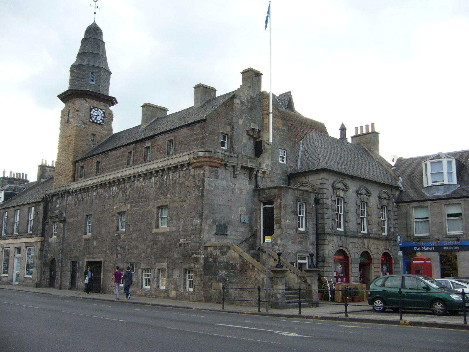
Musselburgh (; sco, Musselburrae; gd, Baile nam Feusgan) is the largest settlement in East Lothian, Scotland, on the coast of the Firth of Forth, east of Edinburgh city centre. It has a population of . History The name Musselburgh is Old English in origin, with ''mussel'' referring to the shellfish.Musselburgh was famous for the mussel beds which grew in the Firth of Forth; after many years of claims that the mussels were unsafe for consumption, a movement has been started to reestablish the mussel beds as a commercial venture. The ''burgh'' element appears to derive from burh, in the same way as Edinburgh, before the introduction of formal burghs by David I. Its earliest Anglic name was ''Eskmuthe'' (Eskmouth) for its location at the mouth of the River Esk. Musselburgh was first settled by the Romans in the years following their invasion of Scotland in AD 80. They built a fort a little inland from the mouth of the River Esk, at Inveresk. They bridged the Esk downstre ... [...More Info...] [...Related Items...] OR: [Wikipedia] [Google] [Baidu] |
Ronald Herbert Garvey
Sir Ronald Herbert Garvey (4 July 1903, in Lincolnshire – 31 May 1991) was a British Colonial Service administrator who served in the Pacific, the West Indies, and as Lieutenant Governor of the Isle of Man at the end of his career. Biography Education and early career A parson's son from the Lincolnshire Wolds, Garvey was admitted on a choral scholarship to Trent College ( Long Eaton) where he studied from 1916 to 1923. He then entered Emmanuel College at the University of Cambridge, where he read history and graduated B.A. in anthropology, while preparing to take the civil service examination, hoping to join the Indian Civil Service. He became involved in breaking the 1926 general strike, and did not find time to study for this examination, and instead applied for a position in the Colonial Service. He accepted a position in the Solomon Islands Protectorate, and sailed from Southampton to Fiji in November 1926. Garvey spent six years in the Solomons, most of them as ... [...More Info...] [...Related Items...] OR: [Wikipedia] [Google] [Baidu] |
Bridges In Belize
A bridge is a structure built to span a physical obstacle (such as a body of water, valley, road, or rail) without blocking the way underneath. It is constructed for the purpose of providing passage over the obstacle, which is usually something that is otherwise difficult or impossible to cross. There are many different designs of bridges, each serving a particular purpose and applicable to different situations. Designs of bridges vary depending on factors such as the function of the bridge, the nature of the terrain where the bridge is constructed and anchored, and the material used to make it, and the funds available to build it. The earliest bridges were likely made with fallen trees and stepping stones. The Neolithic people built boardwalk bridges across marshland. The Arkadiko Bridge (dating from the 13th century BC, in the Peloponnese) is one of the oldest arch bridges still in existence and use. Etymology The ''Oxford English Dictionary'' traces the origin of the wo ... [...More Info...] [...Related Items...] OR: [Wikipedia] [Google] [Baidu] |
Bridges Completed In 1949
A bridge is a structure built to span a physical obstacle (such as a body of water, valley, road, or rail) without blocking the way underneath. It is constructed for the purpose of providing passage over the obstacle, which is usually something that is otherwise difficult or impossible to cross. There are many different designs of bridges, each serving a particular purpose and applicable to different situations. Designs of bridges vary depending on factors such as the function of the bridge, the nature of the terrain where the bridge is constructed and anchored, and the material used to make it, and the funds available to build it. The earliest bridges were likely made with fallen trees and stepping stones. The Neolithic people built boardwalk bridges across marshland. The Arkadiko Bridge (dating from the 13th century BC, in the Peloponnese) is one of the oldest arch bridges still in existence and use. Etymology The ''Oxford English Dictionary'' traces the origin of the wo ... [...More Info...] [...Related Items...] OR: [Wikipedia] [Google] [Baidu] |


