|
Haverstraw
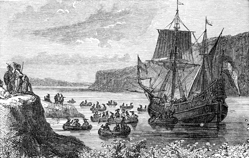
Haverstraw is a town in Rockland County, New York, United States, located north of the Town of Clarkstown and the Town of Ramapo; east of Orange County; south of the Town of Stony Point; and west of the Hudson River. The town runs from the west to the east border of the county in its northern section. The population was 36,634 at the 2010 census. The name comes from the Dutch word ''Haverstroo'' meaning "oats straw", referring to the grasslands along the river. The town contains three villages, one of which is also known as Haverstraw. Haverstraw village is the original seat of government for the town, hosting the area's historic central downtown business district and the densest population in northern Rockland County. History In 1609, the region was explored by Henry Hudson. A land purchase was made in this town in 1666 from local natives and confirmed as a patent in 1671. The region was known as ''Haverstroo'', meaning "oat straw" in Dutch. During the American Revolution, ... [...More Info...] [...Related Items...] OR: [Wikipedia] [Google] [Baidu] |
Haverstraw (village), New York
Haverstraw is a village incorporated in 1854 in the town of Haverstraw in Rockland County, New York, United States. It is located north of Congers, southeast of West Haverstraw, east of Garnerville, northeast of New City, and west of the Hudson River at its widest point. According to the 2019 U.S. Census estimate, the population was 12,045, an increase from the 2010 Census population of 11,910. The village of Haverstraw is within the North Rockland Central School District public primary and secondary school system of New York State, and the downtown hosts the Rockland Community College – Haverstraw Extension Center. , the mayor is Michael Kohut. History Settlement (1609–1750) Before Dutch settlers traveled to the Hudson River Valley in the early part of the seventeenth century, the Rumachenanck people, a subset of the Lenape tribe, called the area home. In 1609, during one of the many voyages the Dutch financed in search of the Northwest Passage, Henry Hudson sailed the H ... [...More Info...] [...Related Items...] OR: [Wikipedia] [Google] [Baidu] |
Haverstraw NY Presby PHS796
Haverstraw is a town in Rockland County, New York, United States, located north of the Town of Clarkstown and the Town of Ramapo; east of Orange County; south of the Town of Stony Point; and west of the Hudson River. The town runs from the west to the east border of the county in its northern section. The population was 36,634 at the 2010 census. The name comes from the Dutch word ''Haverstroo'' meaning "oats straw", referring to the grasslands along the river. The town contains three villages, one of which is also known as Haverstraw. Haverstraw village is the original seat of government for the town, hosting the area's historic central downtown business district and the densest population in northern Rockland County. History In 1609, the region was explored by Henry Hudson. A land purchase was made in this town in 1666 from local natives and confirmed as a patent in 1671. The region was known as ''Haverstroo'', meaning "oat straw" in Dutch. During the American Revolution, ... [...More Info...] [...Related Items...] OR: [Wikipedia] [Google] [Baidu] |
Rockland County, New York
Rockland County is the southernmost county on the west side of the Hudson River in the U.S. state of New York. It is part of the New York metropolitan area. It is about from the Bronx at their closest points. The county's population, as of the 2020 United States Census, is 338,329, making it the state's third-most densely populated county outside New York City (after Nassau and neighboring Westchester Counties, respectively). The county seat is New City. Rockland County is accessible via the New York State Thruway, which crosses the Hudson to Westchester at the Tappan Zee Bridge ten exits up from the NYC border, as well as the Palisades Parkway five exits up from the George Washington Bridge. The county's name derives from "rocky land", as the area has been aptly described, largely due to the Hudson River Palisades. This county is home to one of the most prominent towns in American history. Congers, NY is home to the stepping grounds of Commander-In-Chief George Washing ... [...More Info...] [...Related Items...] OR: [Wikipedia] [Google] [Baidu] |
Franklin Community
The Franklin Community was the first American Owenite community established in New York state. Founded in 1826 two miles from the Hudson River near the town of Haverstraw in Rockland County, the enterprise stumbled in its first year of existence and was terminated later that same year. History Background The arrival of Welsh social reformer Robert Owen on American shores in the fall of 1824 was met with public curiosity and expectation. Owen's ideas about the relationship between human behavior and happiness and the material conditions of their existence were familiar to intellectuals in the United States from about 1817, when they were publicized in various British reviews.T.D. Seymour Bassett, "The Secular Utopian Socialists," in Donald Drew Egbert and Stow Persons (eds.), ''Socialism and American Life: Volume 1.'' Princeton, NJ: Princeton University Press, 1952; pg. 161. In response, those favoring the communitarian ideal had established an organization called the New York S ... [...More Info...] [...Related Items...] OR: [Wikipedia] [Google] [Baidu] |
Stony Point, New York
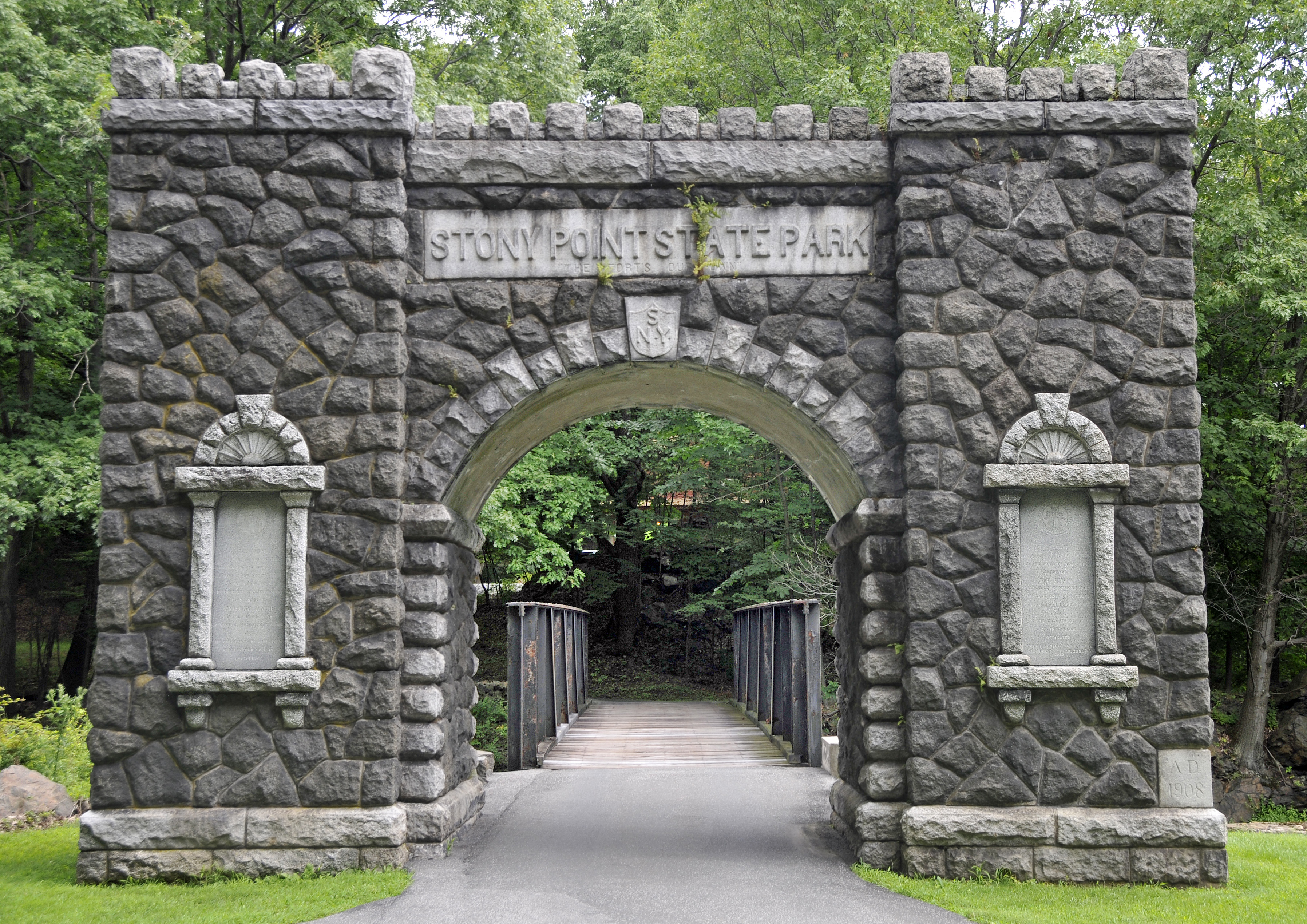
Stony Point is a Administrative divisions of New York#Town, town in Rockland County, New York, United States. It is part of the New York City Metropolitan Area. The town is located north of the town of Haverstraw, New York, Haverstraw, east and south of Orange County, New York, Orange County, and west of the Hudson River and Westchester County, New York, Westchester County. The population was 15,059 at the 2010 census. The name of the town is derived from a prominent projection into the Hudson River. The town is in the northeastern part of the county. U.S. Route 9W, U.S. Route 202 in New York, U.S. Route 202, and the Palisades Interstate Parkway are major north-south routes through the town. Stony Point is included in the North Rockland Central School District. It is the most rural of the five towns in Rockland County. Life in Stony Point, NY Stony Point, New York is a town that many call home for the suburban style vibe. The town contains numerous strip malls alongside Rout ... [...More Info...] [...Related Items...] OR: [Wikipedia] [Google] [Baidu] |
NY Waterway
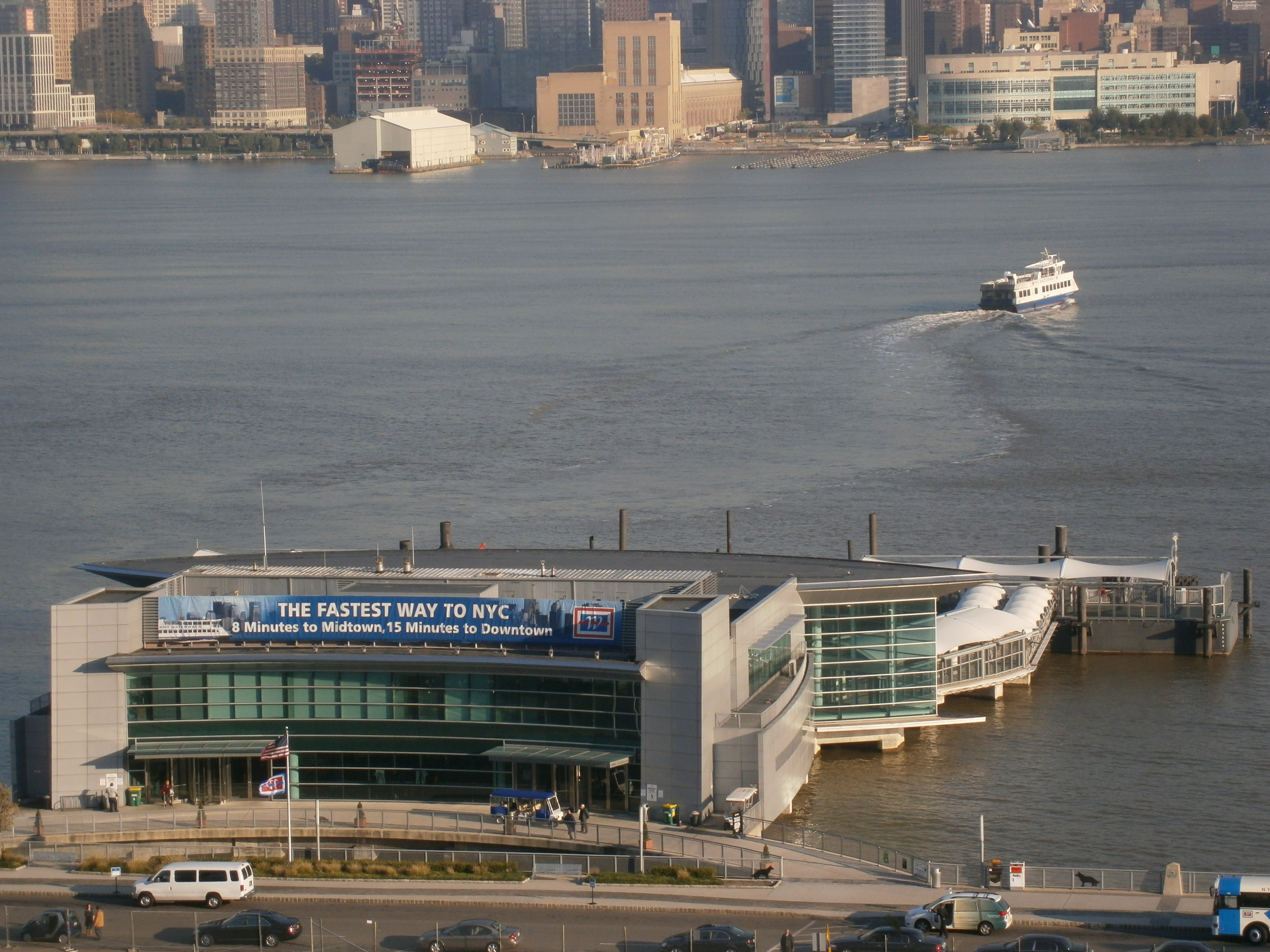
NY Waterway (or New York Waterway) is a private transportation company running ferry and bus service in the Port of New York and New Jersey and in the Hudson Valley. The company utilizes public-private partnership with agencies such as the Port Authority of New York and New Jersey, New Jersey Transit, New York City Department of Transportation, and Metropolitan Transportation Authority to provide service and maintain docking facilities. NY Waterway uses ferry slips at four terminals in Manhattan as well as terminals and slips in Jersey City, Hoboken, Weehawken, and Edgewater, all located along the Hudson River Waterfront Walkway. Commuter peak service is also provided on the Haverstraw–Ossining Ferry, Newburgh–Beacon Ferry, and to the Raritan Bayshore. Excursions and sightseeing trips include those to Yankee Stadium, Gateway National Recreation Area, and Governors Island. The Manhattan to Jersey City route is used as one of the alternatives for connecting the New York and ... [...More Info...] [...Related Items...] OR: [Wikipedia] [Google] [Baidu] |
Ramapo, New York
Ramapo is a town in Rockland County, New York, United States. It was originally formed as New Hampstead, in 1791, and became Ramapo in 1828."Ramapo", in Peter R. Eisenstadt and Laura-Eve Moss (Eds.), The Encyclopedia of New York State'. Syracuse, NY: Syracuse University Press. . p. 1284. It shares its name with the Ramapo River. As of the 2020 census, Ramapo had a total population of 148,919, making it the most populous town in New York outside of Long Island. If Ramapo were incorporated as a city, it would be the sixth-largest city in the state of New York. The town's name, recorded variously as ''Ramopuck'', ''Ramapock'', or ''Ramapough'', is of Lenape origin, meaning either "sweet water" or "slanting rocks". Early maps referred to Ramapo as Ramepog (1695), Ramepogh (1711), and Ramapog (1775). The town is located south of Haverstraw and west of Clarkstown and Orangetown. History The present-day town was originally inhabited by the Munsee, a band of the Lenape n ... [...More Info...] [...Related Items...] OR: [Wikipedia] [Google] [Baidu] |
New York State Route 45
New York State Route 45 (NY 45) is a north–south state highway in central Rockland County, New York, in the United States. It spans from the village of Chestnut Ridge at the New Jersey–New York border, where it becomes County Route 73 (CR 73) in Bergen County, New Jersey, to U.S. Route 202 (US 202) in the town of Haverstraw. Though an interchange does exist between NY 45 and the Palisades Interstate Parkway, the route has no access to the New York State Thruway. NY 45 was originally designated as New York State Route 305 as part of the 1930 renumbering of state highways in New York. It was renumbered to New York State Route 94 in the early 1940s before becoming NY 45 on January 1, 1949. Route description NY 45 begins at the New Jersey–New York border in Chestnut Ridge. Although the first NY 45 reassurance shield is a quarter-mile north of the state line, the reference marker below the "Welcome to New ... [...More Info...] [...Related Items...] OR: [Wikipedia] [Google] [Baidu] |
Clarkstown, New York
Clarkstown is a town in Rockland County, New York, United States. The town is on the eastern border of the county, located north of the town of Orangetown, east of the town of Ramapo, south of the town of Haverstraw, and west of the Hudson River. As of the 2010 census, the town had a total population of 84,187. The community of New City, the county seat of Rockland County, is also the seat of town government and of the Clarkstown Police Department, the county sheriff's police office, and the county correctional facility. New City makes up about 41.47% of the town's population. In 2008, Clarkstown became one of 600 municipalities nationwide to sign the United States Mayor's Climate Protection Agreement to reduce carbon dioxide emissions to 7 percent below the 1990 levels by 2012. History The town of Clarkstown was created in 1791 from the town of Haverstraw in Orange County, before Rockland County was formed. Geography The Hudson River defines the eastern border of the tow ... [...More Info...] [...Related Items...] OR: [Wikipedia] [Google] [Baidu] |
Palisades Interstate Parkway
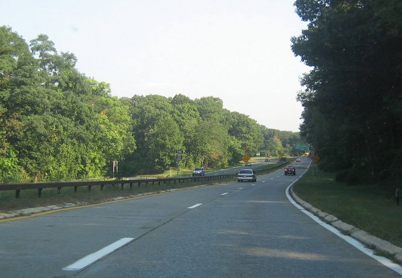
The Palisades Interstate Parkway (PIP) is a limited-access highway in the U.S. states of New Jersey and New York (state), New York. The parkway is a major commuter route into New York City from Rockland County, New York, Rockland and Orange County, New York, Orange counties in New York and Bergen County, New Jersey, Bergen County in New Jersey. The southern terminus of the route is at the George Washington Bridge in Fort Lee, New Jersey, where it connects to Interstate 95 in New Jersey, Interstate 95 (I-95), Route 4 (New Jersey), New Jersey Route 4, U.S. 1, U.S. 9, and U.S. Route 46, US 46. Its northern terminus is at a traffic circle in Fort Montgomery, New York, where the PIP meets U.S. Route 9W, US 9W and U.S. Route 202 in New York, US 202 at the Bear Mountain Bridge. At exit 18, the PIP forms a concurrency (road), concurrency with U.S. Route 6 in New York, US 6 for the remaining duration of its run. The route is named for the The Palisades (H ... [...More Info...] [...Related Items...] OR: [Wikipedia] [Google] [Baidu] |
Hudson River
The Hudson River is a river that flows from north to south primarily through eastern New York. It originates in the Adirondack Mountains of Upstate New York and flows southward through the Hudson Valley to the New York Harbor between New York City and Jersey City, eventually draining into the Atlantic Ocean at Lower New York Bay. The river serves as a political boundary between the states of New Jersey and New York at its southern end. Farther north, it marks local boundaries between several New York counties. The lower half of the river is a tidal estuary, deeper than the body of water into which it flows, occupying the Hudson Fjord, an inlet which formed during the most recent period of North American glaciation, estimated at 26,000 to 13,300 years ago. Even as far north as the city of Troy, the flow of the river changes direction with the tides. The Hudson River runs through the Munsee, Lenape, Mohican, Mohawk, and Haudenosaunee homelands. Prior to European ... [...More Info...] [...Related Items...] OR: [Wikipedia] [Google] [Baidu] |
List Of Owenite Communities In The United States
This is a list of Owenite communities in the United States which emerged during a short-lived popular boom during the second half of the 1820s. Between 1825 and 1830 more than a dozen such colonies were established in the US, inspired by the ideas of Robert Owen. All of these met with economic failure and rapid disestablishment within a few years. The Owenite movement of the 1820s was one of the four primary branches of secular utopian socialism in the US during the 19th century, antedating Fourierism (1843–1850), Icarianism (1848–1898), and Bellamyism (1889–1896). Background The communitarian ideas of Welsh reformer Robert Owen (1772–1837) were popularized in the United States by his arrival in America in November 1824. Owen had learned that an already established Rappite religious community at Harmony, Indiana was for sale. He set sail for America with the intention of acquiring it from the Harmony Society and thereby making it a model of his collectivist plans. ... [...More Info...] [...Related Items...] OR: [Wikipedia] [Google] [Baidu] |


