|
Glandwr, Pembrokeshire
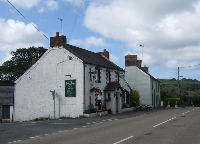
Glandwr is a small rural village in the parish of Llanfyrnach and the community of Crymych, Pembrokeshire, Wales. The village appears on a pre-1850 parish map as Glan-dwr. It is linked by unclassified roads to adjacent settlements and to the A478 road. Glandwr sits on the River Gafel, which joins the River Taf to the southeast, and is the location of Lammas Ecovillage. Chapel Glandwr has had an independent chapel (''Capel Glandwr'') since 1712, rebuilt or restored several times since. The current chapel is a Grade II listed building In the United Kingdom, a listed building or listed structure is one that has been placed on one of the four statutory lists maintained by Historic England in England, Historic Environment Scotland in Scotland, in Wales, and the Northern Irel .... The National Library of Wales holds historical information relating to the chapel. Mill The village had a woollen mill at least as early as 1650. References External links {{authority control ... [...More Info...] [...Related Items...] OR: [Wikipedia] [Google] [Baidu] |
Crymych
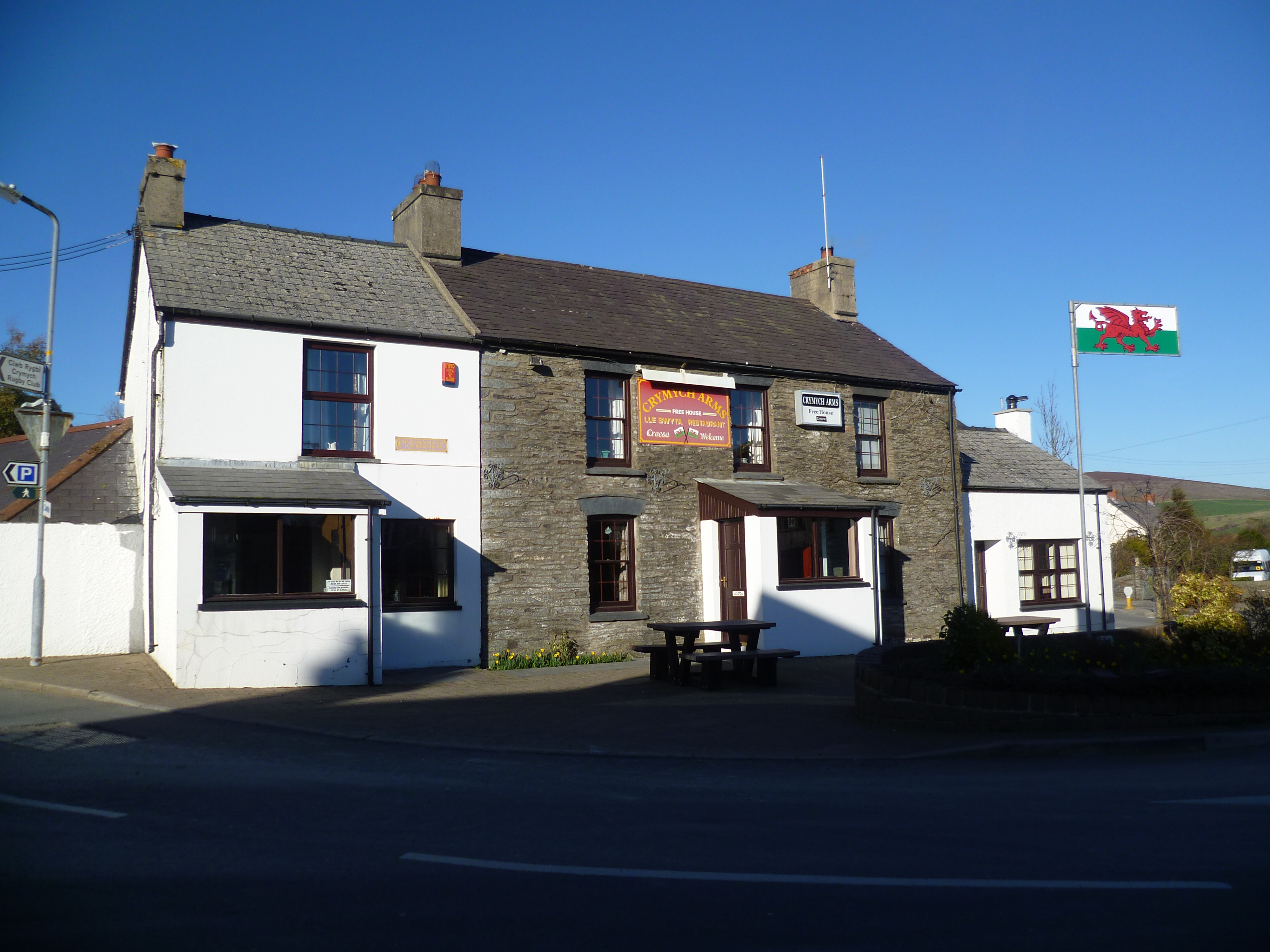
Crymych () is a village of around 800 inhabitants and a community (population 1,739) in the northeast of Pembrokeshire, Wales. It is situated approximately above sea level at the eastern end of the Preseli Mountains, on the old Tenby to Cardigan turnpike road, now the A478. The village developed around the former Crymmych Arms railway station on the now-closed Whitland to Cardigan Railway, nicknamed ''Cardi Bach'' (Little Cardi). Crymych, which is twinned with Plomelin in Brittany, has an elected community council. The village has given its name to an electoral ward of Pembrokeshire that encompasses the villages of Crymych itself and Eglwyswrw. The community includes Hermon, Glandwr, Glogue and Llanfyrnach. History The name Crymych translates into English as ''crooked stream'' referring to the River Taf which rises in the high ground above the village and takes a sharp turn in the valley at the north end of the village. Evidence of prehistoric occupation in the communi ... [...More Info...] [...Related Items...] OR: [Wikipedia] [Google] [Baidu] |
Preseli Pembrokeshire (Senedd Constituency)
, constituency_type = Senedd county constituency , parl_name=Senedd, image = , image2 = , caption2 = Preseli Pembrokeshire shown within the Mid and West Wales electoral region and the region shown within Wales , year = 1999 , member_label = MS , member = Paul Davies , party_label = Party , party = Conservative , parts_label = Preserved county , parts = Dyfed Preseli Pembrokeshire ( cy, Preseli Sir Benfro) is a constituency of the Senedd. It elects one Member of the Senedd by the first past the post method of election. It is also one of eight constituencies in the Mid and West Wales electoral region, which elects four additional members, in addition to eight constituency members, to produce a degree of proportional representation for the region as a whole. Boundaries 1999 to 2007 The constituency was created for the first election to the Assembly, in 1999, w ... [...More Info...] [...Related Items...] OR: [Wikipedia] [Google] [Baidu] |
Pembrokeshire
Pembrokeshire ( ; cy, Sir Benfro ) is a Local government in Wales#Principal areas, county in the South West Wales, south-west of Wales. It is bordered by Carmarthenshire to the east, Ceredigion to the northeast, and the rest by sea. The county is home to Pembrokeshire Coast National Park. The Park occupies more than a third of the area of the county and includes the Preseli Hills in the north as well as the Pembrokeshire Coast Path. Historically, mining and fishing were important activities, while industry nowadays is focused on agriculture (86 per cent of land use), oil and gas, and tourism; Pembrokeshire's beaches have won many awards. The county has a diverse geography with a wide range of geological features, habitats and wildlife. Its prehistory and modern history have been extensively studied, from tribal occupation, through Roman times, to Welsh, Irish, Norman, English, Scandinavian and Flemish influences. Pembrokeshire County Council's headquarters are in the county ... [...More Info...] [...Related Items...] OR: [Wikipedia] [Google] [Baidu] |
Dyfed
Dyfed () is a preserved county in southwestern Wales. It is a mostly rural area with a coastline on the Irish Sea and the Bristol Channel. Between 1974 and 1996, Dyfed was also the name of the area's county council and the name remains in use for certain ceremonial and other purposes. History Dyfed is a preserved county of Wales. It was originally created as an administrative county council on 1 April 1974 under the terms of the Local Government Act 1972, and covered approximately the same geographic extent as the ancient Principality of Deheubarth, although excluding the Gower Peninsula and the area west of the River Tawe. The choice of the name ''Dyfed'' was based on the historic name given to the region once settled by the Irish Déisi and today known as Pembrokeshire. The historic Dyfed never included Ceredigion and only briefly included Carmarthenshire. Modern Dyfed was formed from the administrative counties which corresponded to the ancient counties of Cardiganshire, Car ... [...More Info...] [...Related Items...] OR: [Wikipedia] [Google] [Baidu] |
Preseli Pembrokeshire (UK Parliament Constituency)
Preseli Pembrokeshire ( cy, Preseli Sir Benfro) is a seat and constituency of the House of Commons of the Parliament of the United Kingdom. The Preseli Pembrokeshire Senedd constituency was created with the same boundaries in 1999. Its MP, who has held the seat since 2005, is the Conservative Stephen Crabb, who was Secretary of State for Work and Pensions (Work and Pensions Secretary) from March to July 2016. The seat was held by Labour's candidate from its creation in 1997 until 2005. The Labour and Conservative parties have won at least 27.7% of the vote apiece since its 1997 creation, with the next-placed parties having reached a maximum of 14.5% of the vote to date in a generally broad field. The seat attracted five candidates in 2010, eight in 2015 (an election in which five of the deposits were refunded and three lost) and seven in 2017. At the 2017 election, Crabb's majority was the 27th closest out of the 650 Commons seats, 0.8% or 314 votes. In 2019, there were ... [...More Info...] [...Related Items...] OR: [Wikipedia] [Google] [Baidu] |
Parish
A parish is a territorial entity in many Christian denominations, constituting a division within a diocese. A parish is under the pastoral care and clerical jurisdiction of a priest, often termed a parish priest, who might be assisted by one or more curates, and who operates from a parish church. Historically, a parish often covered the same geographical area as a manor. Its association with the parish church remains paramount. By extension the term ''parish'' refers not only to the territorial entity but to the people of its community or congregation as well as to church property within it. In England this church property was technically in ownership of the parish priest ''ex-officio'', vested in him on his institution to that parish. Etymology and use First attested in English in the late, 13th century, the word ''parish'' comes from the Old French ''paroisse'', in turn from la, paroecia, the latinisation of the grc, παροικία, paroikia, "sojourning in a foreign ... [...More Info...] [...Related Items...] OR: [Wikipedia] [Google] [Baidu] |
Llanfyrnach
Llanfyrnach () is a village and parish in Pembrokeshire, Wales. The village is in the electoral ward and community of Crymych. The village of Crymych and the hamlets of Hermon, Glandwr and the eastern part of Pentre Galar are in Llanfyrnach parish. Llanfyrnach means the church of St Brynach''. Llanfyrnach village is in a remote upland area on the headwaters of the River Tâf, about from Cardigan. History The parish of Llanfyrnach was in the ancient Cantref of Cemais. There is a small Norman motte close to the church. Llanfyrnach (as ''Llanvurnach'') appears on a 1578 parish map of Pembrokeshire. Much of the parish was unenclosed moorland until the start of the 19th century. Population doubled as numerous small farms were established following enclosure from the 16th century onwards. There was an important lead mine on the north side of the village until the end of the 19th century. Mining occurred on a small scale for the sake of the low but significant concentration of ... [...More Info...] [...Related Items...] OR: [Wikipedia] [Google] [Baidu] |
Community (Wales)
A community ( cy, cymuned) is a division of land in Wales that forms the lowest tier of local government in Wales. Welsh communities are analogous to civil parishes in England. There are 878 communities in Wales. History Until 1974 Wales was divided into civil parishes. These were abolished by section 20 (6) of the Local Government Act 1972, and replaced by communities by section 27 of the same Act. The principal areas of Wales are divided entirely into communities. Unlike in England, where unparished areas exist, no part of Wales is outside a community, even in urban areas. Most, but not all, communities are administered by community councils, which are equivalent to English parish councils in terms of their powers and the way they operate. Welsh community councils may call themselves town councils unilaterally and may have city status granted by the Crown. In Wales, all town councils are community councils. There are now three communities with city status: Bangor, St Asaph ... [...More Info...] [...Related Items...] OR: [Wikipedia] [Google] [Baidu] |
A478 Road
The A478 road is a major road in Wales. The route is from its junction with the A487 at Cardigan, Ceredigion, to Tenby, Pembrokeshire. It crosses the Preseli Hills and winds through farmland for almost all of its route. The road just touches the very west of Carmarthenshire. History A road between Cardigan and Narberth was recorded between 1536 and 1642. The 1555 Highways Act made parishes responsible for the roads that crossed them. Most were unsuitable for wheeled traffic. Turnpike trusts were set up in the late 18th and early 19th centuries to manage road maintenance; at least part of this road came under the Whitland Trust. However, by the mid-19th century, some trusts were badly managed or abused, exacerbating rural poverty and in part leading to the Rebecca riots in the 1840s, some of the earliest of which were on this road, particularly at Efailwen in the Cilymaenllwyd Community. The trusts were reformed in 1844. The northern two-thirds of the A478 was a drovers' road, ... [...More Info...] [...Related Items...] OR: [Wikipedia] [Google] [Baidu] |
River Taf
The River Taf ( cy, Afon Taf) is a river in West Wales. It rises in the Preseli Hills, Pembrokeshire, and continues through Carmarthenshire to Laugharne. It is one of the three rivers to enter the sea on the east side of Carmarthen Bay. The other two are the River Gwendraeth and River Tywi. Course The River Taf is about from Crymych to Ginst Point, of which about is tidal.The Journal of Conchology 1979 p 7 "CARMARTHEN BAY. Three large estuaries, the Gwendraeth, Afon Tywi and Afon Taf enter the sea on the east side of Carmarthen Bay and these rivers contribute to deposits of muddy shores. Water drains from high ground above the village of Crymych in Pembrokeshire, and at one time flowed at ground level across the main Cardigan–Tenby road ( A478) before falling to the level of the Whitland and Cardigan Railway station Crymmych Arms ( Great Western Railway) where on the UK Ordnance Survey map of 1866 it is shown as the source of the Taf. The stream fulfills its description " ... [...More Info...] [...Related Items...] OR: [Wikipedia] [Google] [Baidu] |
Lammas Ecovillage
Lammas Ecovillage (Welsh: ''Tir-y-Gafel'') is a low-impact, off-grid ecovillage in Glandwr, near Crymych in Pembrokeshire, West Wales, comprising nine households and a community hub on a site. Buildings are constructed of natural materials and energy obtained from renewable sources. Planning permission took some years to obtain, but has established a replicable template for similar future developments in Wales. Development The project was the first ecovillage in the UK to attain prospective planning permission, and this was achieved in 2009 after a three-year planning campaign culminating in a public hearing. The project had applied under an innovative local planning policy designed to support low-impact development. The policy required residents to live a sustainable lifestyle and substantially support themselves from land-based livelihood. Concept The ecovillage is centered on a Community Hub, from which courses, conferences and open days are run. It was constructed using l ... [...More Info...] [...Related Items...] OR: [Wikipedia] [Google] [Baidu] |
Listed Building
In the United Kingdom, a listed building or listed structure is one that has been placed on one of the four statutory lists maintained by Historic England in England, Historic Environment Scotland in Scotland, in Wales, and the Northern Ireland Environment Agency in Northern Ireland. The term has also been used in the Republic of Ireland, where buildings are protected under the Planning and Development Act 2000. The statutory term in Ireland is " protected structure". A listed building may not be demolished, extended, or altered without special permission from the local planning authority, which typically consults the relevant central government agency, particularly for significant alterations to the more notable listed buildings. In England and Wales, a national amenity society must be notified of any work to a listed building which involves any element of demolition. Exemption from secular listed building control is provided for some buildings in current use for worship, ... [...More Info...] [...Related Items...] OR: [Wikipedia] [Google] [Baidu] |


