|
Gibilmanna Observatory
The Gibilmanna Observatory is a research station used for a diverse range of studies set up and run by the Istituto Nazionale di Geofisica e Vulcanologia (INGV) and it is located on Cozzo Timpa Rossa at 1005 m.a.s.l. near Cefalù, a town in the district of Palermo, Italy. It is one of the 120 stations of the Italian Magnetic Network measuring Earth magnetism field in Italy, and in 2005 INGV's Centro Nazionale Terremoti (CNT) selected it to set up the OBS Lab aimed at designing, manufacturing and managing the Ocean-Bottom Seismometer with Hydrophone (OBS/H), later deployed for monitoring the Marsili submarine volcano in the Tyrrhenian sea. In addition, the observatory is one of the 110 Data Collection Platform (D.C.P.) stations of the Aeronautica Militare Italiana , colours = , colours_label = , march = (Ordinance March of the Air Force) by Alberto Di Miniello , mascot = , anniversa ... [...More Info...] [...Related Items...] OR: [Wikipedia] [Google] [Baidu] |
Cefalù
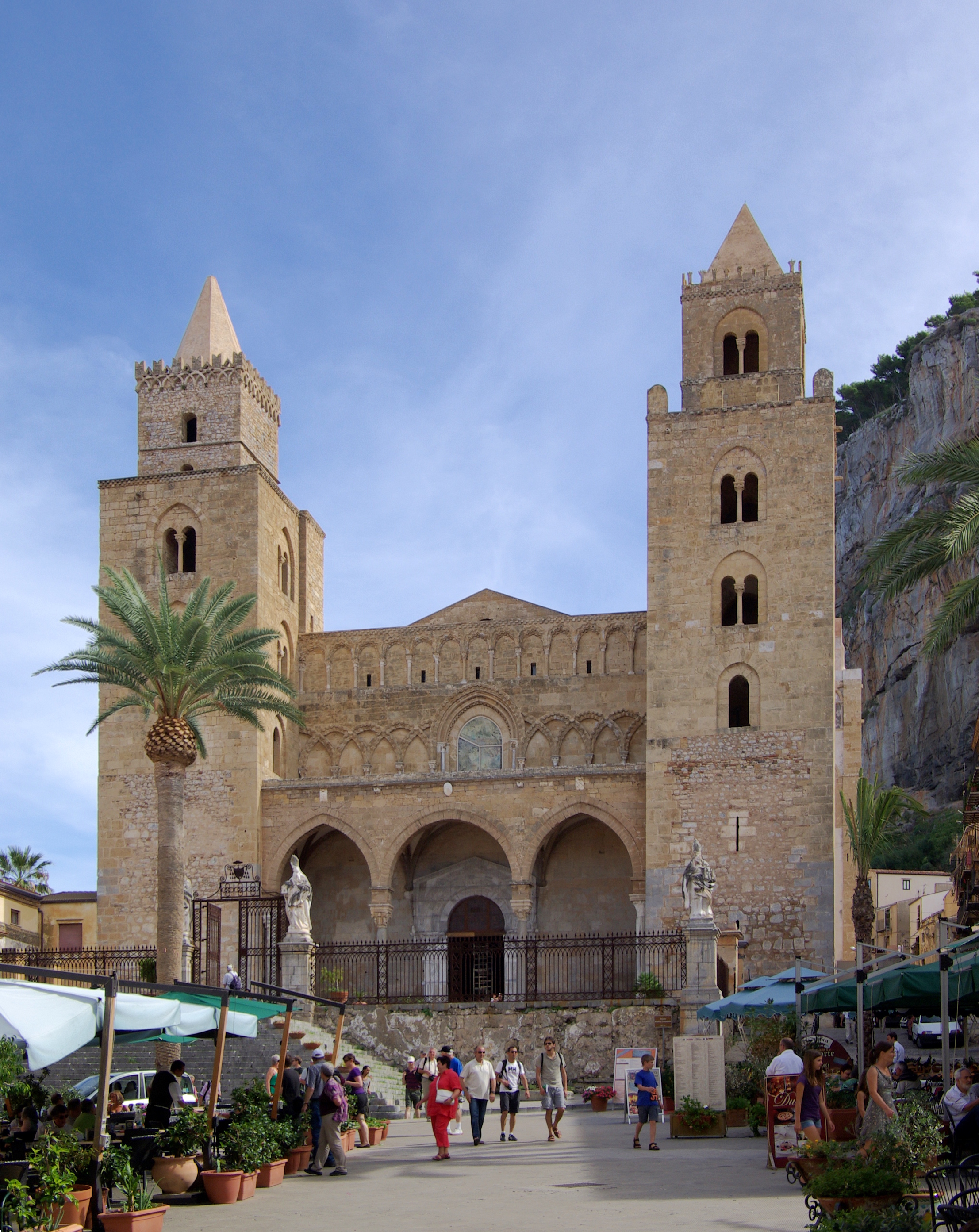
Cefalù (), classically known as Cephaloedium (), is a city and comune in the Italian Metropolitan City of Palermo, located on the Tyrrhenian coast of Sicily about east of the provincial capital and west of Messina. The town, with its population of just under 14,000, is one of the major tourist attractions in the region. Despite its size, every year it attracts millions of tourists from all parts of Sicily and also, from all over Italy and Europe. Names The city's Sicilian name is . It was named by the Greeks who called it ''Kephaloídion'' () or ''Kephaloidís'' (). These were latinised as ''Cephaloedium'' and ''Cephaloedis''. Under Arab rule, it was known as ''Gafludi''. Under Carthaginian rule, it was known as "Cape Melqart" ( xpu, 𐤓𐤔 𐤌𐤋𐤒𐤓𐤕, ), after the Tyrian god. History Of Siculian foundation, in the fourth century BC the Greeks gave the indigenous settlement the name of ''Kephaloídion'', evidently derived from its situation on a lofty and p ... [...More Info...] [...Related Items...] OR: [Wikipedia] [Google] [Baidu] |
Palermo
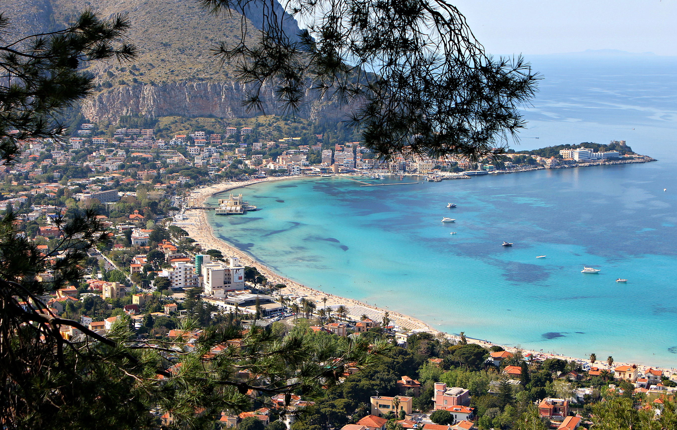
Palermo ( , ; scn, Palermu , locally also or ) is a city in southern Italy, the capital (political), capital of both the autonomous area, autonomous region of Sicily and the Metropolitan City of Palermo, the city's surrounding metropolitan province. The city is noted for its history, culture, architecture and gastronomy, playing an important role throughout much of its existence; it is over 2,700 years old. Palermo is in the northwest of the island of Sicily, by the Gulf of Palermo in the Tyrrhenian Sea. The city was founded in 734 BC by the Phoenicians as ("flower"). Palermo then became a possession of Carthage. Two ancient Greeks, Greek ancient Greek colonization, colonies were established, known collectively as ; the Carthaginians used this name on their coins after the 5th centuryBC. As , the town became part of the Roman Republic and Roman Empire, Empire for over a thousand years. From 831 to 1072 the city was under History of Islam in southern Italy, Arab ru ... [...More Info...] [...Related Items...] OR: [Wikipedia] [Google] [Baidu] |
Italy
Italy ( it, Italia ), officially the Italian Republic, ) or the Republic of Italy, is a country in Southern Europe. It is located in the middle of the Mediterranean Sea, and its territory largely coincides with the homonymous geographical region. Italy is also considered part of Western Europe, and shares land borders with France, Switzerland, Austria, Slovenia and the enclaved microstates of Vatican City and San Marino. It has a territorial exclave in Switzerland, Campione. Italy covers an area of , with a population of over 60 million. It is the third-most populous member state of the European Union, the sixth-most populous country in Europe, and the tenth-largest country in the continent by land area. Italy's capital and largest city is Rome. Italy was the native place of many civilizations such as the Italic peoples and the Etruscans, while due to its central geographic location in Southern Europe and the Mediterranean, the country has also historically been home ... [...More Info...] [...Related Items...] OR: [Wikipedia] [Google] [Baidu] |
Ocean-Bottom Seismometer
An ocean-bottom seismometer (OBS) is a seismometer that is designed to record the earth motion under oceans and lakes from man-made sources and natural sources. Sensors at the sea floor are used to observe acoustic and seismic events. Seismic and acoustic signals may be caused by different sources, by earthquakes and tremors as well as by artificial sources. Computing and analyzing the data yields information about the kind of source and, in case of natural seismic events, the geophysics and geology of the sea floor and the deeper crust. The deployment of OBS along a profile will give information about the deep structure of the Earth's crust and upper mantle in offshore areas. OBS may be equipped with a maximum of a three-component geophone in addition to a hydrophone, and thus it needs a capacity of more than 144 Mbytes, which would be the minimum for an adequate MCS profiling. In a typical survey, the instruments should be operational for several days (deployments can exceed 12 ... [...More Info...] [...Related Items...] OR: [Wikipedia] [Google] [Baidu] |
Tyrrhenian Sea
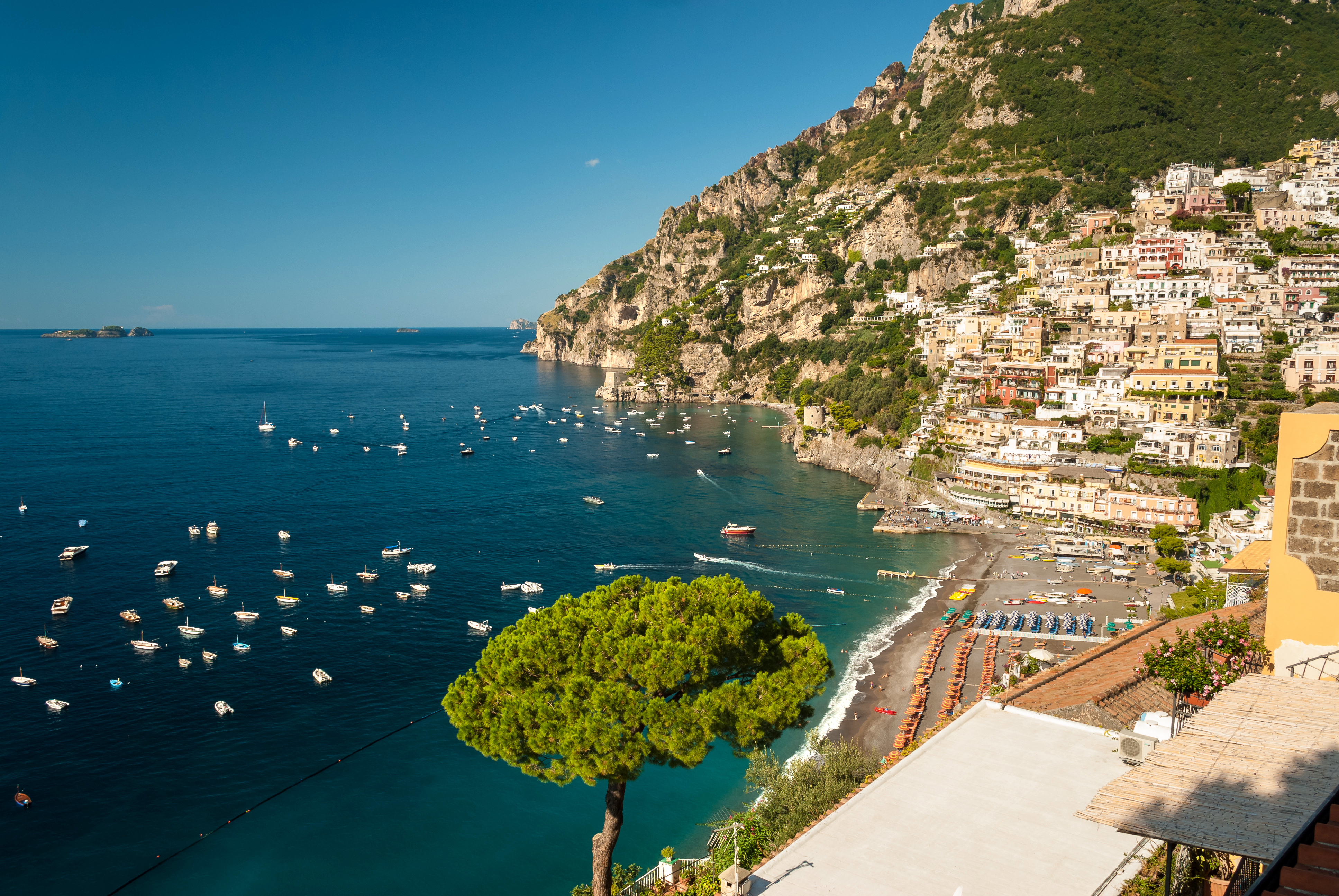
The Tyrrhenian Sea (; it, Mar Tirreno , french: Mer Tyrrhénienne , sc, Mare Tirrenu, co, Mari Tirrenu, scn, Mari Tirrenu, nap, Mare Tirreno) is part of the Mediterranean Sea off the western coast of Italy. It is named for the Tyrrhenian people identified with the Etruscans of Italy. Geography The sea is bounded by the islands of Corsica and Sardinia (to the west), the Italian Peninsula (regions of Tuscany, Lazio, Campania, Basilicata, and Calabria) to the north and east, and the island of Sicily (to the south). The Tyrrhenian Sea also includes a number of smaller islands like Capri, Elba, Ischia, and Ustica. The maximum depth of the sea is . The Tyrrhenian Sea is situated near where the African and Eurasian Plates meet; therefore mountain chains and active volcanoes such as Mount Marsili are found in its depths. The eight Aeolian Islands and Ustica are located in the southern part of the sea, north of Sicily. Extent The International Hydrographic Organization define ... [...More Info...] [...Related Items...] OR: [Wikipedia] [Google] [Baidu] |
Aeronautica Militare Italiana
, colours = , colours_label = , march = (Ordinance March of the Air Force) by Alberto Di Miniello , mascot = , anniversaries = 28 March (Air Force Day) , equipment = , equipment_label = , battles = , decorations = , battle_honours = , battle_honours_label = , flying_hours = , website = , commander1 = Generale di squadra Luca Goretti , commander1_label = Chief of Staff of Air Force , notable_commanders = , identification_symbol = , identification_symbol_label = Roundel , identification_symbol_2 = , identification_symbol_2_label = Roundel Low Visibility , aircraft_attack = Panavia Tornado, AMX International AMX , aircraft_bomber ... [...More Info...] [...Related Items...] OR: [Wikipedia] [Google] [Baidu] |
METEOSAT
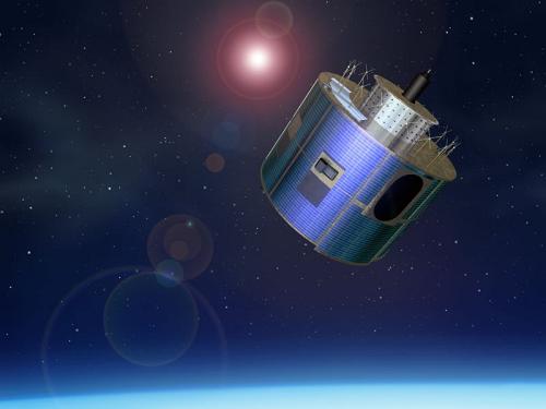
The Meteosat series of satellites are geostationary meteorological satellites operated by EUMETSAT under the Meteosat Transition Programme (MTP) and the Meteosat Second Generation (MSG) program. The MTP program was established to ensure the operational continuity between the end of the successful Meteosat Operational Programme in 1995 and Meteosat Second Generation (MSG), which came into operation at the start of 2004 using improved satellites. The MSG program will provide service until the MTG (Meteosat Third Generation) program takes over. __TOC__ First generation The first generation of Meteosat satellites, Meteosat-1 to Meteosat-7, provided continuous and reliable meteorological observations from space to a large user community. Meteosat-1 to -7 have all now retired. When operational, the Meteosat First Generation provided images every half-hour in three spectral channels (Visible, Infrared) and Water Vapour, via the Meteosat Visible and Infrared Imager (MVIRI) instrum ... [...More Info...] [...Related Items...] OR: [Wikipedia] [Google] [Baidu] |
Geophysical Observatories
Geophysics () is a subject of natural science concerned with the physical processes and physical properties of the Earth and its surrounding space environment, and the use of quantitative methods for their analysis. The term ''geophysics'' sometimes refers only to solid earth applications: Earth's shape; its gravitational and magnetic fields; its internal structure and composition; its dynamics and their surface expression in plate tectonics, the generation of magmas, volcanism and rock formation. However, modern geophysics organizations and pure scientists use a broader definition that includes the water cycle including snow and ice; fluid dynamics of the oceans and the atmosphere; electricity and magnetism in the ionosphere and magnetosphere and solar-terrestrial physics; and analogous problems associated with the Moon and other planets. Gutenberg, B., 1929, Lehrbuch der Geophysik. Leipzig. Berlin (Gebruder Borntraeger). Runcorn, S.K, (editor-in-chief), 1967, International d ... [...More Info...] [...Related Items...] OR: [Wikipedia] [Google] [Baidu] |
Science And Technology In Italy
Science and technology in Italy has a long presence, from the Roman era and the Renaissance. Through the centuries, Italy has advanced the scientific community which produced many significant inventions and discoveries in biology, physics, chemistry, mathematics, astronomy and the other sciences. In 2019 Italy was the 6th world producer of scientific articles publishing more than 155,000 documents. From 1996 to 2000 it published a total of 2 million scientific articles. Italy was ranked 29th in the Global Innovation Index in 2021. History Roman engineering As early as the 1st century AD, Rome had become one of the biggest and most advanced cities in the world. The ancient Romans invented new technologies to improve the city's sanitation systems, roads, and buildings. They developed a system of aqueducts that piped freshwater into the city, and they built sewers that removed the city's waste. The wealthiest Romans lived in large houses with gardens. Most of the population, howev ... [...More Info...] [...Related Items...] OR: [Wikipedia] [Google] [Baidu] |


.jpg)


